


- Why Scientists Track Atmospheric Carbon With Giant Towers - October 7, 2025
- The Link Between Melting Ice and Rising Sea Levels Explained - October 6, 2025
- How Ocean Currents Help Regulate Global Climate - October 5, 2025
Warm Waters Prime the Gulf and Atlantic for Storms

Unusually warm waters along the eastern Gulf and southern Atlantic coasts this July are creating ideal conditions for a new tropical depression or storm to form around Independence Day. With thunderstorms sweeping through the Southeast and raising flood concerns, AccuWeather meteorologists are carefully watching a zone from the eastern Gulf up through the Atlantic waters off Florida, Georgia, and the Carolinas.
How the Threat Is Taking Shape
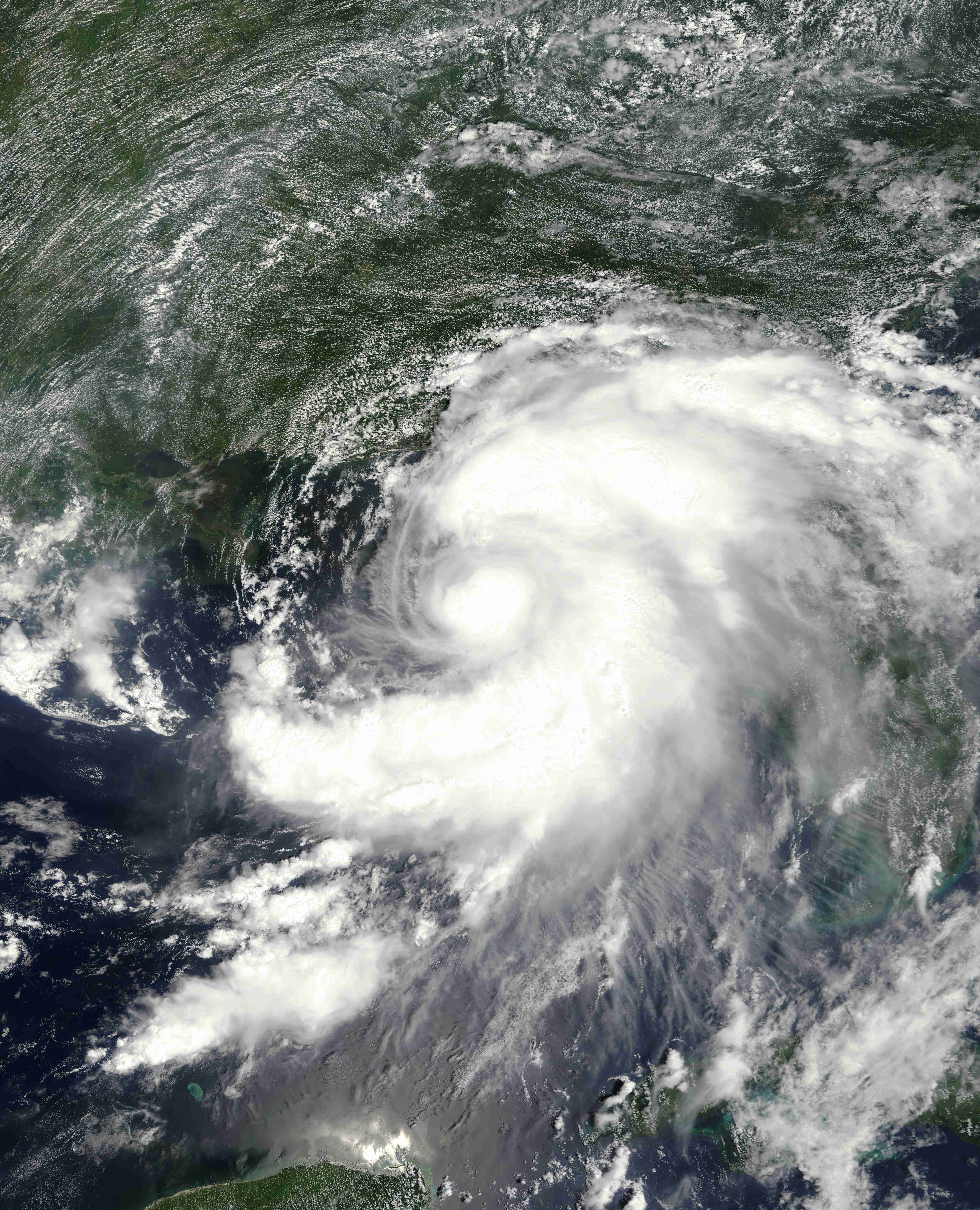
July kicked off with repeated downpours and a growing area of low pressure over the region. Forecasters expect this low to strengthen in the coming week, possibly resulting in clusters of showers, steady rain, and thunderstorms. Should a more concentrated low emerge—especially around groups of persistent storms—the foundation could be laid for the next tropical depression.
Beach Plans May Be Dampened

Southeast beachgoers in early July aren’t likely to face an immediate tropical storm, but more frequent showers and storms could impact beach weather, particularly around or after the Fourth of July. Meteorologists say the window for possible tropical formation runs from July 4th into the following week, with a moderate risk for the southern Atlantic coast and a lower risk for the northeast Gulf.
Next in Line: Chantal Could Be Different
Andrea and Barry, the first two named storms this season, didn’t impact the U.S., but Chantal—the next name on the list—may be a different story. While cooler water and dry air are still slowing development in the far Atlantic, peak hurricane season lies ahead. Despite the slow start, storm activity is already ahead of schedule, with as many as 16 more named storms forecasted this year.
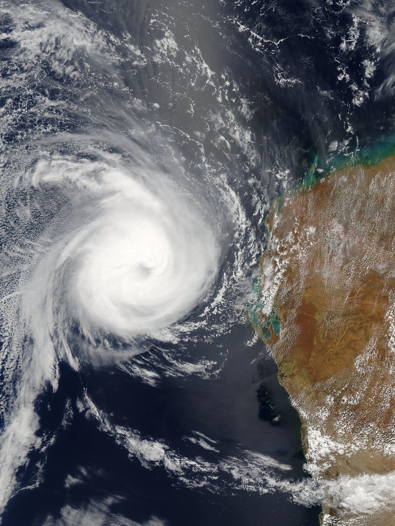
Action Intensifies in the Pacific

The eastern Pacific basin is already seeing its sixth named storm of the season. Hurricane Erick became the fastest fifth storm on record, and now Hurricane Flossie, rapidly strengthening to Category 3, threatens Mexico’s Pacific coast with heavy rain, strong winds, and rough seas. Forecasters are warning about mudslides, flash flooding, and another possible storm—Gil—forming soon.