


- Why Scientists Track Atmospheric Carbon With Giant Towers - October 7, 2025
- The Link Between Melting Ice and Rising Sea Levels Explained - October 6, 2025
- How Ocean Currents Help Regulate Global Climate - October 5, 2025
Hawaii – The Pacific Paradise That Drowns in Rain
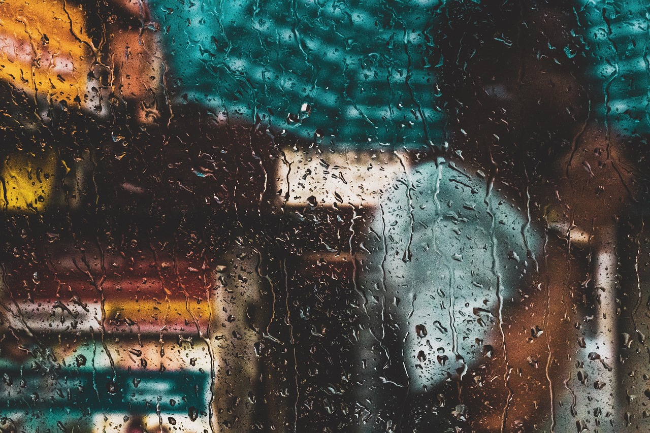
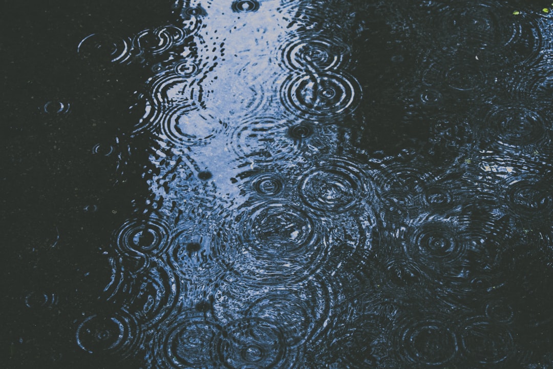
When most people think of Hawaii, they picture sunny beaches and crystal-clear waters. But here’s the shocker – Hawaii is actually the wettest state in the entire United States, receiving an average of 63.7 inches of precipitation annually. The islands experience such extreme rainfall variations that some windward mountain slopes can see upwards of 300 inches of rain per year, while leeward coastal areas may only receive around 20 inches annually. This massive difference happens because of the trade winds that blow moisture-laden air into the mountains, creating what meteorologists call orographic precipitation. Mount Waialeale on Kauai gets about 450 inches on average per year, earning it the distinction as the wettest place on the planet. The state’s tropical climate means it has two major seasons – the dry season from May to October and the wet season from November to April.
Louisiana – Where the Gulf’s Moisture Never Stops
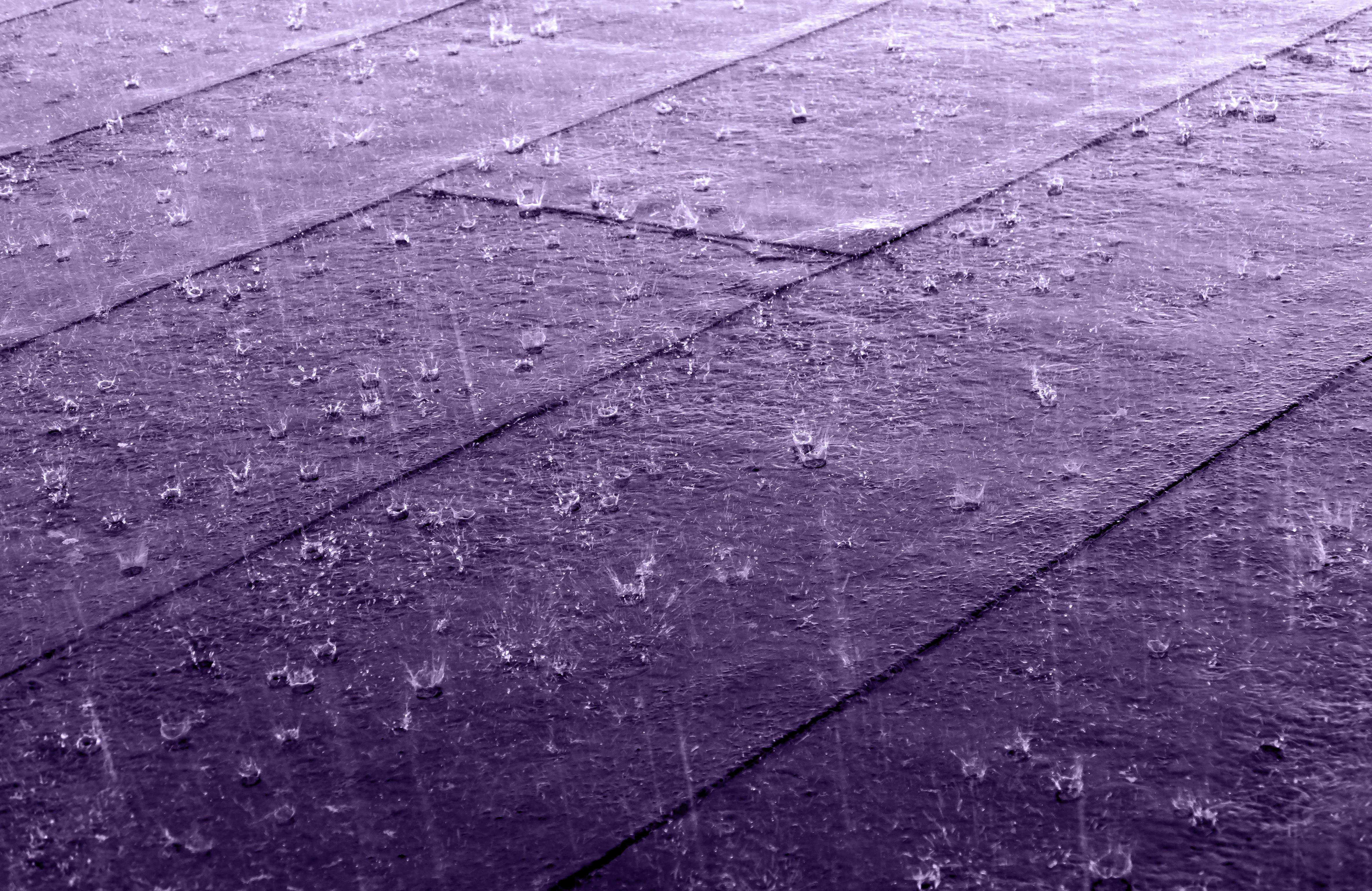
Louisiana comes in second place with 60.1 inches of annual precipitation, making it the wettest state in the continental United States. The Pelican State’s position along the Gulf of Mexico creates a perfect storm for constant moisture. The climate is subjected to moisture from the Gulf that rains down on the low-lying lands with heavy showers, and precipitation ranges from 50 inches in the northern regions to 70 inches around the coastal southeast areas.
Louisiana experiences long, hot and humid summers with relatively short and mild winters, with rainfall happening frequently all year round but slightly higher in summer months. The geography doesn’t help either – the low-lying land means the state often gets flooded, particularly in New Orleans on the coast. Louisiana is extremely vulnerable to tropical cyclones and many such events have wreaked havoc in the state in the past.
Mississippi – The Magnolia State’s Soggy Reality
Mississippi takes third place with approximately 59 inches of precipitation per year, experiencing a humid subtropical climate. Like its neighbor Louisiana, Mississippi benefits from Gulf moisture that creates frequent thunderstorms. It’s a hotspot for frequent thunderstorms that tend to pop up in summer, and while beneficial for the agricultural sector, it also leaves residents prone to flooding. The state’s precipitation patterns show interesting regional variation – annual precipitation generally increases from north to south, with Gulf Coast cities of Biloxi and Pascagoula being among the rainiest.
The rainfall can be intense and persistent. In June 2017, it rained for 21 days out of 30 in Biloxi, with some 22 inches of water falling during that period. According to the U.S. Drought Monitor, Mississippi was completely drought-free approximately 48% of the time from 2000 to 2020, which shows just how consistently wet this state remains.
Alabama – Heart of Dixie’s Watery Ways
Alabama’s humid subtropical climate causes it to receive an average of 58 inches of rain per year. The Heart of Dixie sits in the perfect position to catch moisture from both the Gulf of Mexico and Atlantic weather systems. The Gulf of Mexico consistently pumps moisture into Alabama’s atmosphere, creating the ideal conditions for year-round precipitation. The temperature is warmer in the southern parts due to nearness to the ocean while northern parts are less warm, with summers generally very hot and winters quite mild.
The state’s rainfall intensity is legendary – Mobile, Alabama actually topped a list of soggiest cities in the 48 contiguous states, with more than 5 feet (67 inches) of rainfall annually and 59 average annual rainy days. This makes Mobile one of the rainiest cities in the entire country, not just the state.
Florida – The Sunshine State’s Wet Secret
Here’s the irony that catches everyone off guard – the Sunshine State is actually the fifth rainiest state in the nation, experiencing more thunderstorms each year than any other state in the U.S. Florida receives an average of 54.6 inches of annual precipitation. The state’s unique geography, surrounded by water on three sides, creates a subtropical monsoon pattern that delivers consistent moisture.
A subtropical monsoon pattern of winds brings rainfall to Florida, and this positioning between the Atlantic Ocean and Gulf of Mexico means moisture is never far away. Only two states normally get that damp every year – Florida during June, July and August, and Hawaii in March and November, though most places in Florida get similar amounts of rain close to the state-wide average. The summer thunderstorms are particularly intense and frequent, making Florida’s wet season quite dramatic.
Tennessee – Where Mountain Mist Meets Valley Rain
Tennessee receives 54.2 inches of annual precipitation, and it rains so often in the upper elevations that parts of the Great Smoky Mountains are considered a temperate rainforest. The Volunteer State’s position across the southeastern United States from the Appalachian Mountains to the Mississippi River creates diverse precipitation patterns. The state’s climate brings warm, humid summers and cool winters, with the wettest year on record being 1957 with 66.32 inches.
Thunderstorms, tornadoes, and extreme floods are common occurrences in Tennessee – an incredible 106 tornadoes were recorded in April 2011. The mountainous terrain plays a huge role in precipitation patterns, with the Great Smokey Mountains at the intersection of North Carolina, South Carolina, and Georgia creating orographic lifting that squeezes moisture from passing air masses.
Arkansas – The Natural State’s Natural Wetness

Arkansas gets frequent rains, totaling around 50.8 inches per year, mostly in the spring and summer. The Natural State sits perfectly positioned to catch moisture from multiple sources. Between the Ozarks and the Mississippi Alluvial Plain, it makes the area ripe for a variety of rainfall, with thunderstorms commonly occurring and putting residents in low-lying areas at risk for flash flood development.
Arkansas’ wild weather includes severe thunderstorms, tornadoes, deluges that cause localized flooding, and winter ice storms. The state’s geography creates a unique situation where cold air masses from the north meet warm, moist air from the Gulf, resulting in frequent severe weather events and consistent precipitation throughout the year.
Georgia – The Peach State’s Juicy Weather
Georgia is the seventh rainiest state in the U.S. with 50.7 inches of annual precipitation, and the mountainous region in northeastern Georgia is the wettest part of the state, receiving 70 inches of rain every year. The Peach State’s humid subtropical climate creates consistent moisture throughout the year. Since it’s so close to both the Atlantic and the Gulf, Georgia gets a lot of rain, experiencing an average of 50 inches of rainfall statewide.
The largest state east of the Mississippi River, Georgia has a humid subtropical climate that brings short, mild winters and long, hot summers, with rainfall ranging from 80 inches in the mountainous northeast to 45 inches in eastern and central areas. Georgia is no stranger to severe storms and hurricane aftereffects – in 1994, Tropical Storm Alberto brought a record 20 inches of rain in just 24 hours to some parts of central Georgia.
North Carolina – The Tar Heel State’s Diverse Downpours

North Carolina receives an average of 50.5 inches of annual precipitation, making it the ninth wettest state in the nation. The diverse topography of North Carolina gives it a high rainfall total each year, with tropical systems also blowing through the state, most recently and notably Hurricane Helene, which caused excessive damage through flash flooding. The state’s geography ranges from coastal plains to mountain peaks, creating varied precipitation patterns across different regions.
The Appalachian Mountains in western North Carolina play a significant role in the state’s precipitation. The local ranges of the Appalachian Mountains run North to South in the East, and North Carolina’s portion creates contrasts that affect rainfall patterns. The coastal areas also receive significant moisture from Atlantic weather systems, while the mountains squeeze additional precipitation from passing storms through orographic lifting.
Connecticut – The Constitution State’s Surprising Soaking
Here’s where things get really interesting for recent weather patterns. Connecticut rounds out the top ten with 50.4 inches of annual precipitation, but in 2023, Connecticut actually recorded 61.18 inches of precipitation, making it the highest precipitation within the 48 contiguous U.S. states that year. This represents a dramatic departure from normal patterns. Connecticut not only recorded the largest precipitation volume in 2023, but also registered the highest precipitation anomaly that year, around 14.31 inches above the 1901-2000 annual average.
The average rainfall by state in 2023 was highest in northeastern states, with Connecticut recording 3.5 inches of precipitation more than Massachusetts. This unusual pattern shows how climate variability can dramatically shift which areas receive the most rainfall from year to year, even though long-term averages tell a different story.
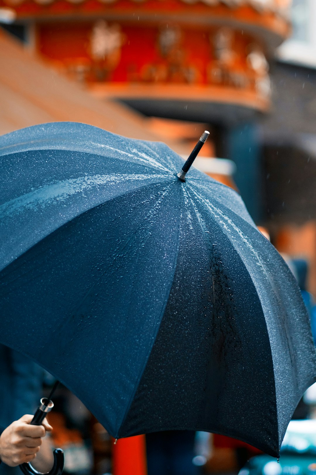
Every drop of rain tells a story about geography, climate patterns, and the amazing diversity of weather across America. From tropical Hawaii’s record-breaking deluges to the Gulf Coast’s persistent moisture, these ten states prove that Mother Nature doesn’t always follow our expectations – especially when the “Sunshine State” ranks among the rainiest places in the country. What surprises you most about your state’s ranking?
Why These Rankings Keep Changing (And What It Means for You)
If you’re scratching your head wondering why your state feels way wetter or drier than these numbers suggest, you’re not imagining things. Climate change is throwing traditional rainfall patterns completely out the window, creating wild swings that meteorologists are still trying to understand. Take Texas, for example – it can swing from devastating droughts to catastrophic flooding within the same year, making those long-term averages feel pretty meaningless when you’re dealing with the reality on the ground. The jet stream, which acts like a giant atmospheric highway directing weather systems, has become increasingly erratic, pushing moisture-laden storms into unexpected places while leaving traditional wet zones surprisingly parched. What’s really fascinating is how these shifting patterns affect everything from your water bill to your garden’s survival rate, making it more important than ever to pay attention to local weather trends rather than just relying on historical data.
How Your State’s Rainfall Affects Your Daily Life (More Than You Think)
You might think rainfall rankings are just interesting trivia, but your state’s position on that list actually shapes your life in surprising ways. States with higher rainfall typically enjoy lower water costs – we’re talking about differences of $30 to $50 per month on your utility bill compared to desert states where every drop is precious. Your grocery budget feels the impact too, since produce grown in naturally wet states like Louisiana and Florida costs less to irrigate, keeping prices down at the checkout. But here’s the kicker – those soggy states also deal with higher home insurance premiums because of flood risks, and don’t even get me started on the constant battle against mold and humidity damage. Meanwhile, folks in drier states might save on flood insurance but end up spending a fortune on landscaping and pool maintenance just to keep their yards from turning into dust bowls.