

- What Earth’s Magnetic Field Has to Do With Climate History - October 7, 2025
- The Science Behind Heat Domes and Their Growing Impact - October 7, 2025
- What Ancient Lake Beds Teach Us About Past Rainfall Patterns - October 6, 2025
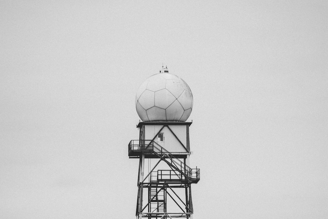
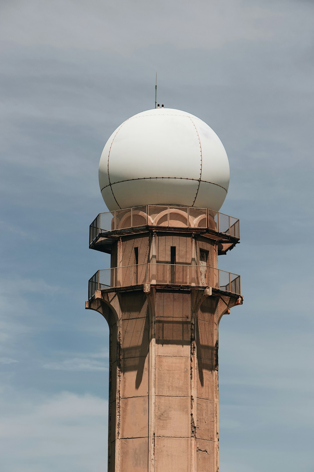
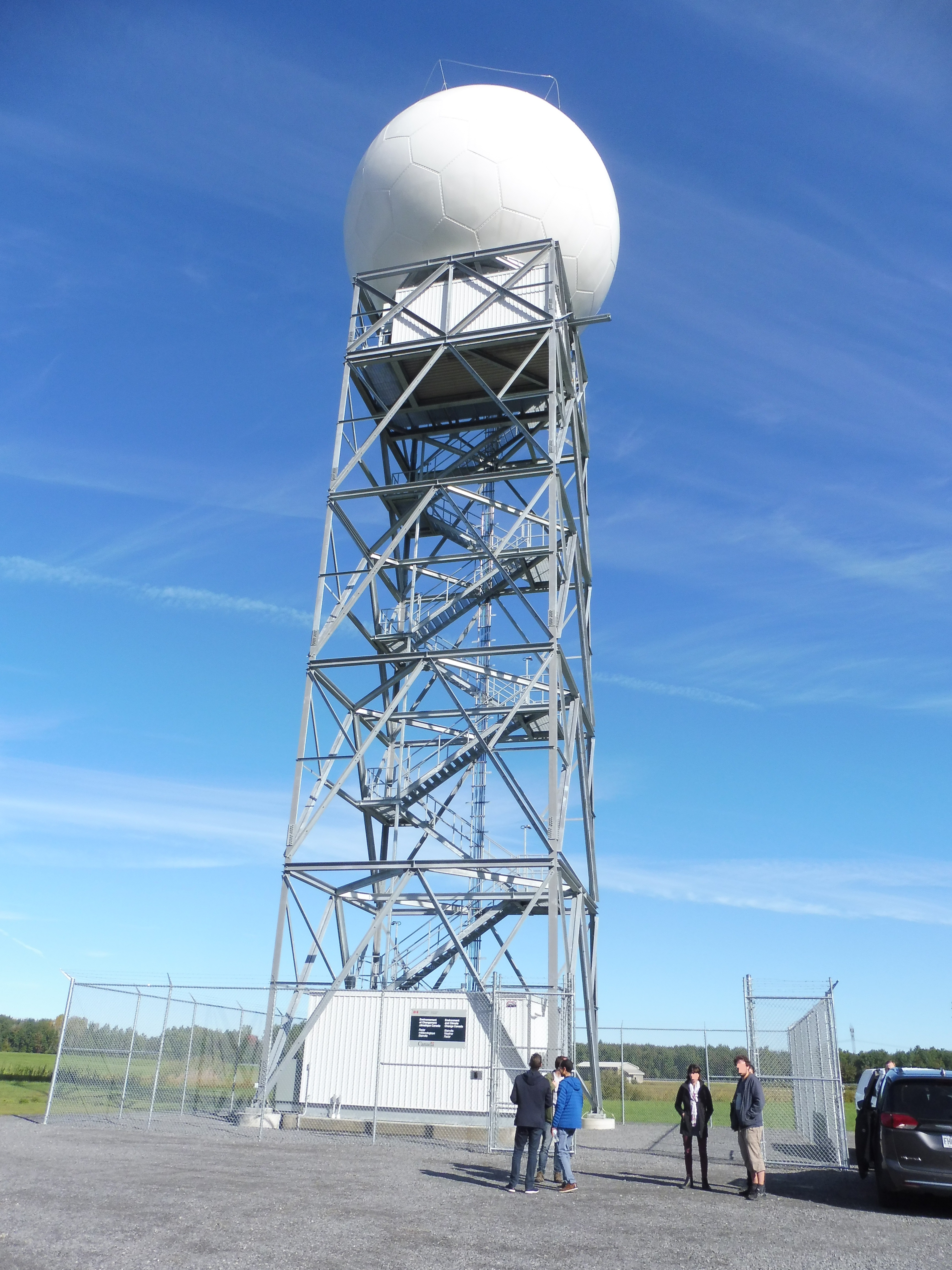
Advanced Doppler Radar Networks Form the Foundation

Modern weather prediction relies heavily on sophisticated radar technology that has evolved dramatically over the past few decades. The Next Generation Weather Radar (NEXRAD) system is a network of 160 high-resolution S-band Doppler weather radars jointly operated by the National Weather Service (NWS), the Federal Aviation Administration (FAA), and the U.S. Air Force. Around 2012, the network of radars received a major upgrade to dual-polarization. This upgrade has improved meteorologists’ ability to identify precipitation type (rain, sleet, snow, hail, etc.), estimate rainfall for flash flood warnings, identify debris associated with tornadoes, and locate conditions for possible tornado development.
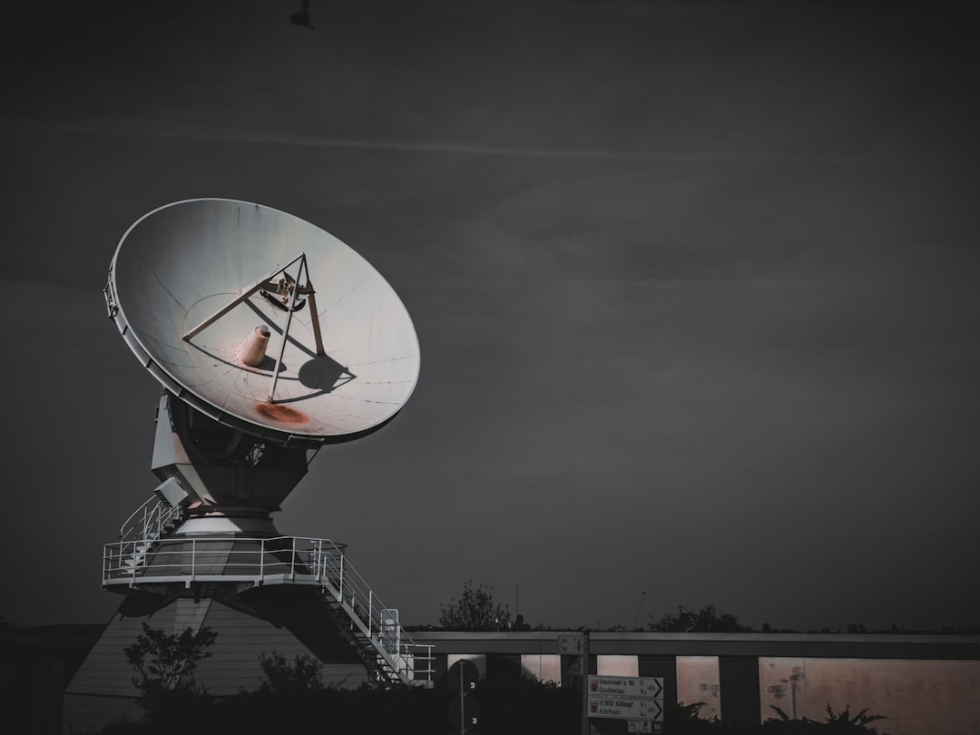
These radar systems work by sending out radio waves and measuring how they bounce back from precipitation particles in the atmosphere. Modern weather radars are mostly pulse-Doppler radars, capable of detecting the motion of rain droplets in addition to the intensity of the precipitation. Both types of data can be analyzed to determine the structure of storms and their potential to cause severe weather.
Revolutionary Phased Array Technology Changes the Game
Phased Array Radar (PAR), a revolutionary new weather radar being developed by NOAA’s National Severe Storms Laboratory, offers faster updates, more accurate and detailed data and game-changing adaptability. Ultimately PAR equips forecasters to offer longer lead times in the face of severe weather and tornadoes. Unlike traditional systems, PAR uses stationary antennas made up of numerous small, electronically controlled elements. These elements can change the direction of the radar beam without any mechanical movement, allowing for almost instantaneous scans of multiple areas in the atmosphere.
The speed advantage is remarkable. While NEXRAD takes several minutes to complete a full scan, PAR can do it in less than a minute. This rapid refresh rate means meteorologists can monitor storms in near real-time, capturing details about fast-evolving phenomena like tornadoes, flash floods, hail, and damaging downburst wind gusts with greater precision.
Artificial Intelligence Revolutionizes Pattern Recognition

Machine learning has become a game-changer in severe weather prediction, particularly in identifying dangerous storm formations. Because the comma-shaped cloud is a visual indicator of severe weather events, researchers found that their method can effectively detect comma-shaped clouds with 99 percent accuracy, at an average of 40 seconds per prediction. It was also able to predict 64 percent of severe weather events, outperforming other existing severe-weather detection methods.
Weather forecasts powered by artificial intelligence are usually more accurate – and require less computational energy and fewer human hours – than conventional predictions. One September 2024 study looked at five stand-out A.I.-based weather forecasting systems that are “comparable, and in some cases, superior” to the ECMWF’s numerical prediction system – while being orders of magnitude more computationally efficient. The technology is expanding rapidly, with the European Centre for Medium-Range Weather Forecasts (ECMWF) quietly going live with the planet’s first fully operational weather forecast system powered by artificial intelligence in February.
Satellite Networks Provide Global Coverage
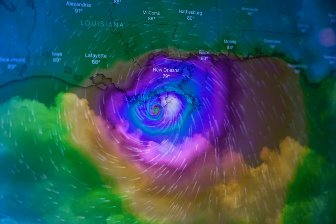
Low Earth orbit (LEO) satellites like JPSS satellites provide the most data and have the greatest impact due to their continuous global coverage. Considered the backbone of forecasting, LEO satellites (also called polar-orbiting satellites) supply more than 80% of the data assimilated in NWP models. These satellites orbit much closer to Earth than traditional weather satellites, allowing them to capture detailed atmospheric conditions with unprecedented accuracy.
Recent satellite launches have enhanced forecasting capabilities significantly. On April 7, 2025, GOES-19 replaced GOES-16 as NOAA’s operational GOES East satellite. In its new role, GOES-19 serves as NOAA’s primary geostationary satellite for monitoring much of the Western Hemisphere. The satellite tracks hurricanes and tropical storms in the Atlantic Ocean basin and monitors severe weather, atmospheric rivers, wildfires, volcanic eruptions and other environmental events affecting the contiguous U.S.
Sophisticated Computer Models Process Massive Datasets
Modern weather prediction relies on complex numerical weather prediction models that process enormous amounts of data from multiple sources. The Rapid Refresh Forecast System became operational in 2024, offering guidance for situations when rapidly updating information is critical, such as aviation and severe weather. This state-of-the-art system relies on satellite radiance data from LEO instruments to produce more precise initial conditions. These data enhance the Rapid Refresh Forecast System’s ability to capture small-scale weather phenomena and to do so in a timely manner.
Scientists have developed a method to “correct” the predictions from coarse climate models. By combining machine learning with dynamical systems theory, the team’s approach “nudges” a climate model’s simulations into more realistic patterns over large scales. When paired with smaller-scale models to predict specific weather events such as tropical cyclones or floods, the team’s approach produced more accurate predictions.
Lightning Detection Systems Predict Storm Intensity
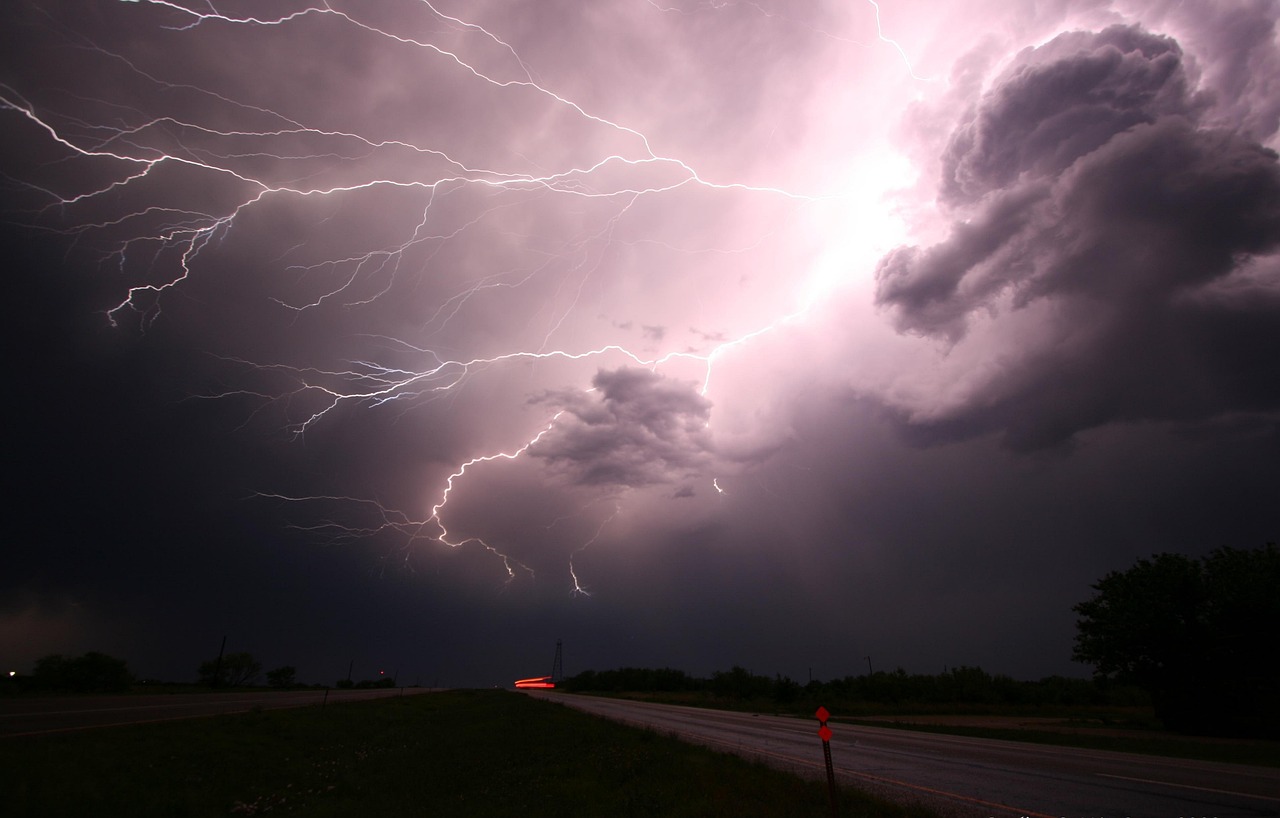
Lightning detection has become a crucial component in predicting severe weather development. GOES-19’s lightning mapper detected rapid increases in lightning activity, indicating intensifying storms. Forecasters also use GOES data in new AI models that predict the likelihood that a developing thunderstorm will produce severe weather or hazardous lightning an hour or more in advance. This technology provides meteorologists with early warning signs of storms that could rapidly intensify into dangerous weather systems.
The integration of lightning data with other meteorological information allows forecasters to create more accurate predictions about storm behavior. When lightning activity suddenly increases within a developing thunderstorm, it often signals that the storm is gaining strength and may produce severe weather conditions like tornadoes, damaging hail, or destructive winds.
Multi-Layered Atmospheric Monitoring

The CIRA Advected Layered Precipitable Water (ALPW) product, derived from Microwave Integrated Retrieval System (MiRS) retrievals of moisture and temperature from seven polar-orbiting satellites, shows atmospheric water vapor across four atmospheric layers (surface–850 millibars (mb), 850–700 mb, 700–500 mb, 500–300 mb). This hourly analysis highlights higher moisture levels, useful for assessing atmospheric river depth.
Understanding moisture distribution at different atmospheric levels is critical for predicting severe weather events. Two important ingredients for tornadoes are atmospheric instability (e.g., warm, moist air near the surface and cool dry air aloft) and vertical wind shear (winds at different altitudes blowing in different directions or speeds). By monitoring these conditions across multiple atmospheric layers, meteorologists can identify areas where severe weather is most likely to develop.
Enhanced Warning Systems Save Lives

The advancement in forecasting technology has led to significantly improved warning times for severe weather events. Expert meteorologists at AccuWeather say advancements in long-range forecasting, rapid alerts providing people with more time to prepare for impacts helped save lives. With all of the technology, the improvements in radar, and the weather warnings now sent directly through the AccuWeather app to phones, they believe that saved dozens of lives in recent severe weather outbreaks. Even 15 years ago, the death toll tragically could have been much higher.
The National Weather Service used NOAA satellite data for advanced warnings, real-time updates, and on-site support to emergency managers during storms. In some parts of Kentucky, tornado warnings had lead times of up to 40 minutes. These extended warning times give people crucial additional minutes to seek shelter and prepare for incoming severe weather.
Hyperspectral Technology Reveals Atmospheric Details
L3Harris’ Cross-track Infrared Sounder (CrIS) instrument is the world’s most advanced hyperspectral sounder. It observes more than 2,000 infrared channels to provide comprehensive temperature and moisture information from around the globe that increases weather forecast accuracy worldwide. This technology allows meteorologists to see incredibly detailed information about atmospheric conditions that would be impossible to detect with traditional instruments.
The hyperspectral data provides a three-dimensional view of the atmosphere, revealing temperature and moisture gradients that are critical for understanding how severe weather systems develop and evolve. This detailed atmospheric profiling helps forecasters identify the specific conditions that lead to tornado formation, severe thunderstorm development, and other dangerous weather phenomena.
Real-Time Fire and Storm Integration
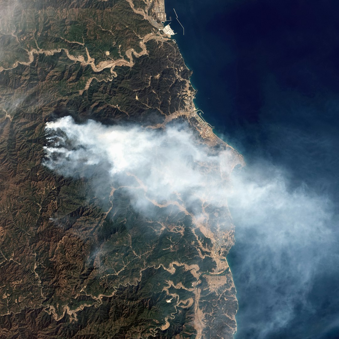
Just 10 minutes after smoke from the Dinosaur Fire was spotted near Boulder, Colorado, in 2024, the CIMSS-designed Next Generation Fire System detected the fire from space. Using data from a satellite orbiting Earth, the system helped pinpoint the fire’s location as emergency crews prepared to respond. NGFS can provide highly accurate, real-time information on a wildfire’s location, movement, size and intensity.
The integration of fire detection with severe weather prediction has become increasingly important as wildfire behavior is often influenced by weather conditions. Strong winds, low humidity, and atmospheric instability can rapidly spread fires and create dangerous conditions for both firefighters and nearby communities. By combining fire detection with weather forecasting, meteorologists can predict how weather patterns will affect fire behavior.
Global Weather Enterprise Collaboration
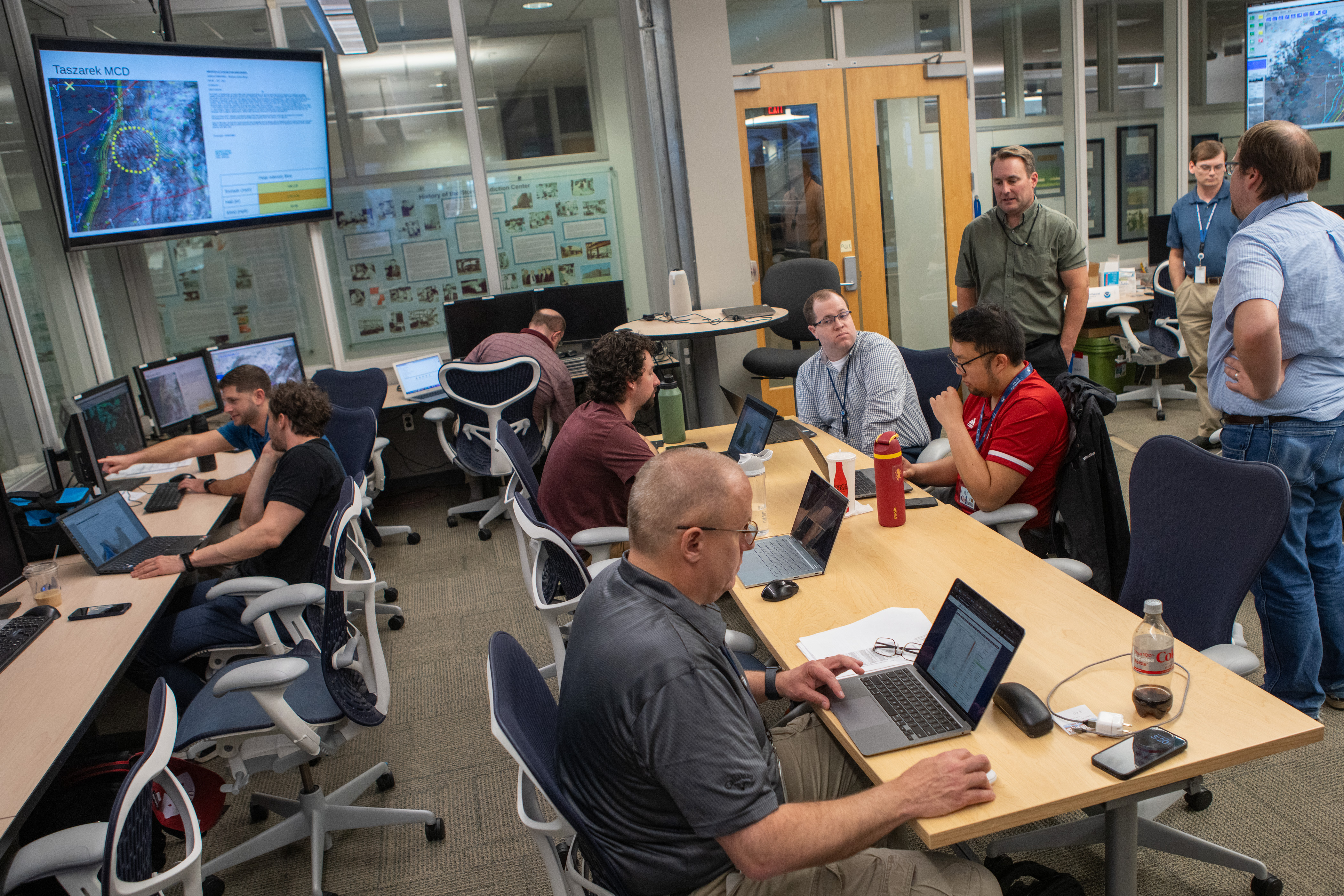
The United States has some of the world’s worst and most severe weather, but also the best weather forecasts and warnings because of innovative research from the academic community, computer forecast guidance, new radar technology, and government severe weather warnings. Decades of collaboration between private, government and academic sectors have benefited millions with more time to prepare. It’s a unique partnership where meteorologists across the country work together in what we call the weather enterprise.
This collaborative approach ensures that advances in weather prediction technology are rapidly shared across different organizations and implemented where they can save the most lives. The partnership between universities, government agencies, and private companies has accelerated the development of new forecasting tools and made them available to communities that need them most.
Future Technologies on the Horizon
Phased array radar is really the only potential onramp for the future that can scan flexibly and adaptively in a way that’s going to be ready for when the National Weather Service needs it in the next decade or two. NSSL and its partners have developed the Advanced Technology Demonstrator (ATD), a single-face, dual-pol, phased array radar designed as a proof of concept to test the potential capabilities of a future nationwide PAR network.
The weather radar market itself is experiencing explosive growth, with the global weather RADAR market valued at US$ 158.43 million in 2024 and projected to reach US$ 880.86 million by 2033 at a CAGR of 18% during the forecast period. This rapid expansion reflects the increasing demand for more accurate and timely severe weather predictions as extreme weather events become more frequent and intense.