

Hurricane Erin Strengthens Offshore

Hurricane Erin, now a powerful system, is tracking just east of the United States this week. Even though the center remains over the ocean, the storm’s far-reaching effects will bring dangerous conditions to the Atlantic coast.
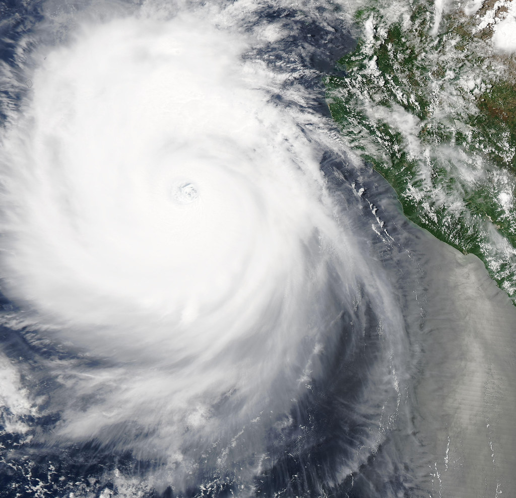
Rapid Intensification to Category 5

Originally a Category 1 storm, Erin underwent rapid intensification and quickly surged into a Category 5 hurricane. Meteorologists explained how this rare process enabled the storm’s explosive growth.
Current Path and Status

Erin is forecast to curve between the United States and Bermuda, maintaining a significant threat despite its offshore track. As of late Sunday, maximum sustained winds reached 130 mph, pushing Erin back to Category 4 strength after briefly hitting Category 5 with 160-mph winds.
Warnings Across the Caribbean
Tropical storm warnings were in effect for the Turks and Caicos and parts of the Bahamas. Heavy rains have already triggered flooding and mudslides in the Dominican Republic, with rainfall totals possibly reaching 14 inches in some areas.
Eyewall Replacement and Storm Cycles

Meteorologists confirmed Erin went through an eyewall replacement cycle, a common hurricane phenomenon. During this process, winds often weaken temporarily before intensifying again once the new eyewall forms.
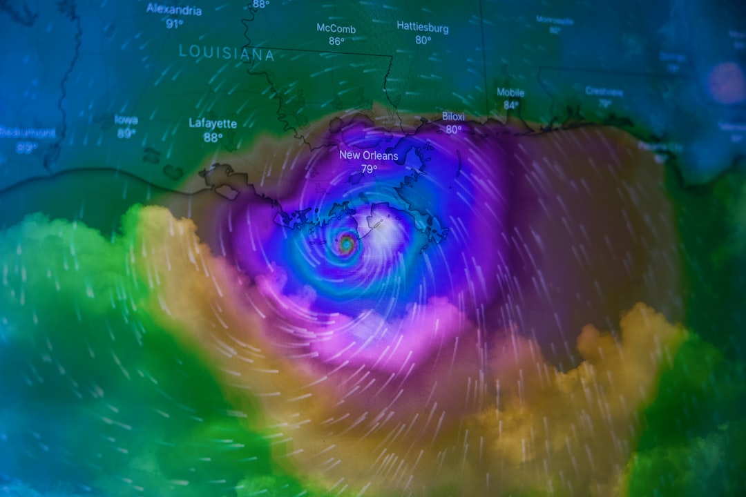
Steering Forces and Track Uncertainty

Erin has been guided by strong Atlantic high pressure but is expected to turn northward early in the week. Later, the jet stream could steer it northeast. Small changes in timing and track could decide how close Erin gets to the U.S. coast.
U.S. Coastal Threats

Even if Erin’s eye remains at sea, its size will spread tropical storm and hurricane conditions hundreds of miles outward. Eastern North Carolina, for example, could experience tropical storm winds if Erin shifts west by only 100 miles.
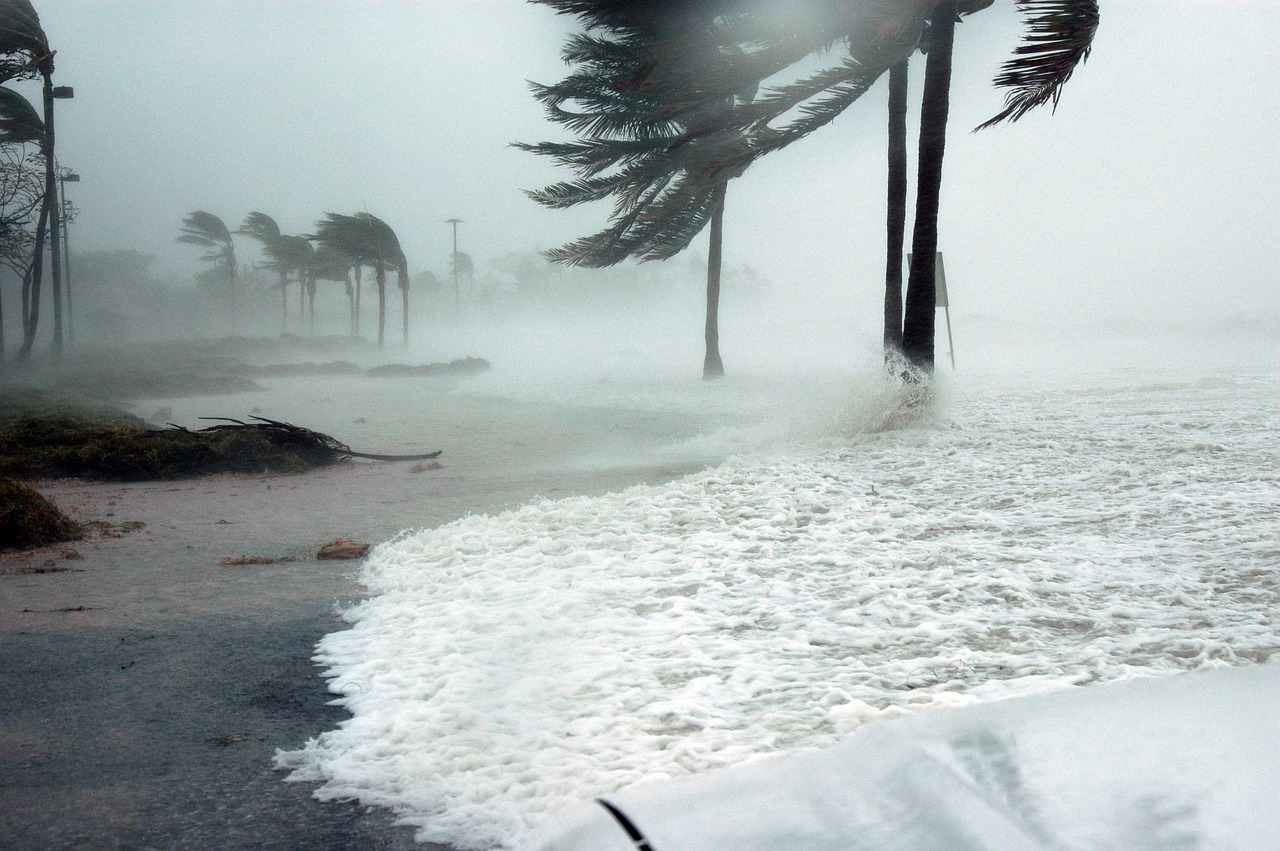
Dangerous Seas and Beach Impacts
Erin’s massive size is producing swells up to 50 feet near its center, sending large waves toward the U.S. coast. Surf along much of the East Coast could reach 5–10 feet, with higher waves of 10–15 feet possible in areas such as the Outer Banks, Long Island, and Cape Cod.
Flooding, Surge, and Rip Currents
Coastal flooding and beach erosion are expected, particularly in North Carolina’s Outer Banks and Virginia beaches, where Highway 12 may be closed due to overwash. Rip currents will grow more dangerous throughout the week, posing risks to swimmers even on sunny days.
Outlook Beyond the U.S.

Erin will likely pass west of Bermuda with rough seas but no direct hit. Later this week, southeastern Newfoundland could see impacts as Erin transitions into a non-tropical storm. Beyond Canada, the system could eventually bring wind and rain to Iceland or the United Kingdom.
- How Meteorologists Predict Storms Using Satellite Data - October 3, 2025
- What Causes Rainbows And Why They’re Always Curved - October 1, 2025
- 3 Industries Face Crushing New Tariffs as Trade War Escalates - September 28, 2025