

- What Earth’s Magnetic Field Has to Do With Climate History - October 7, 2025
- The Science Behind Heat Domes and Their Growing Impact - October 7, 2025
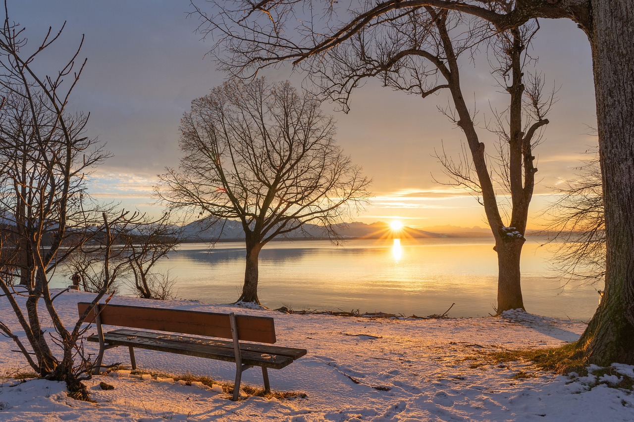
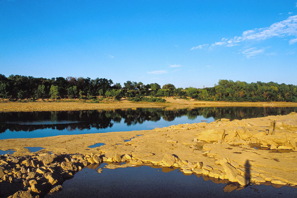
- What Ancient Lake Beds Teach Us About Past Rainfall Patterns - October 6, 2025
The Ancient Archives Hidden Beneath Water

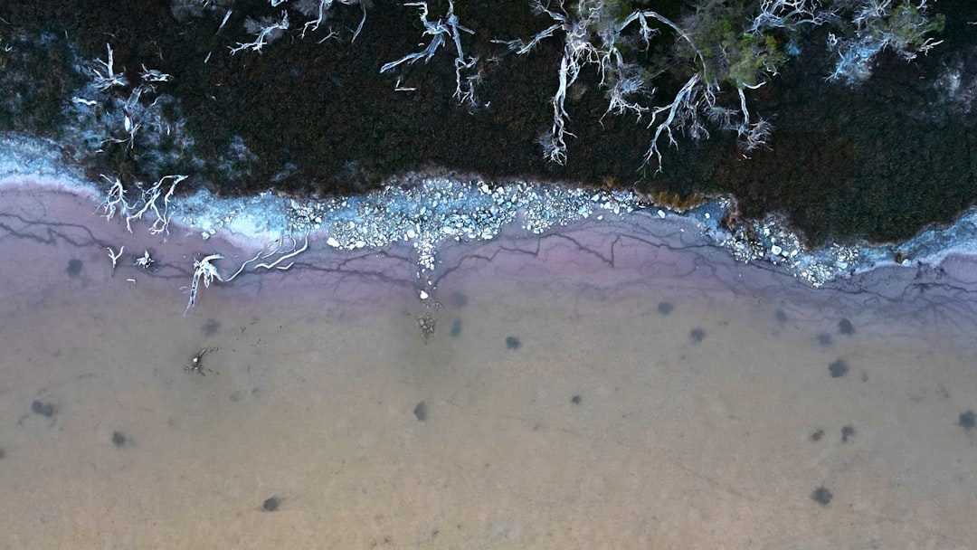
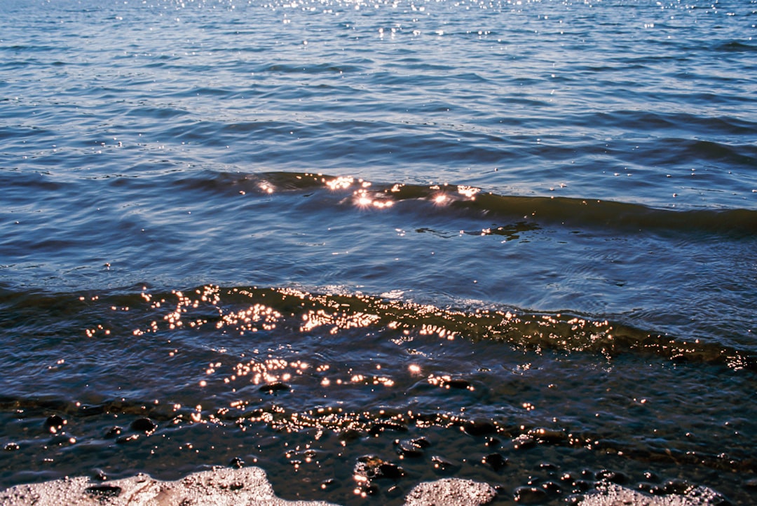
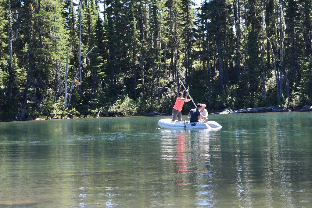
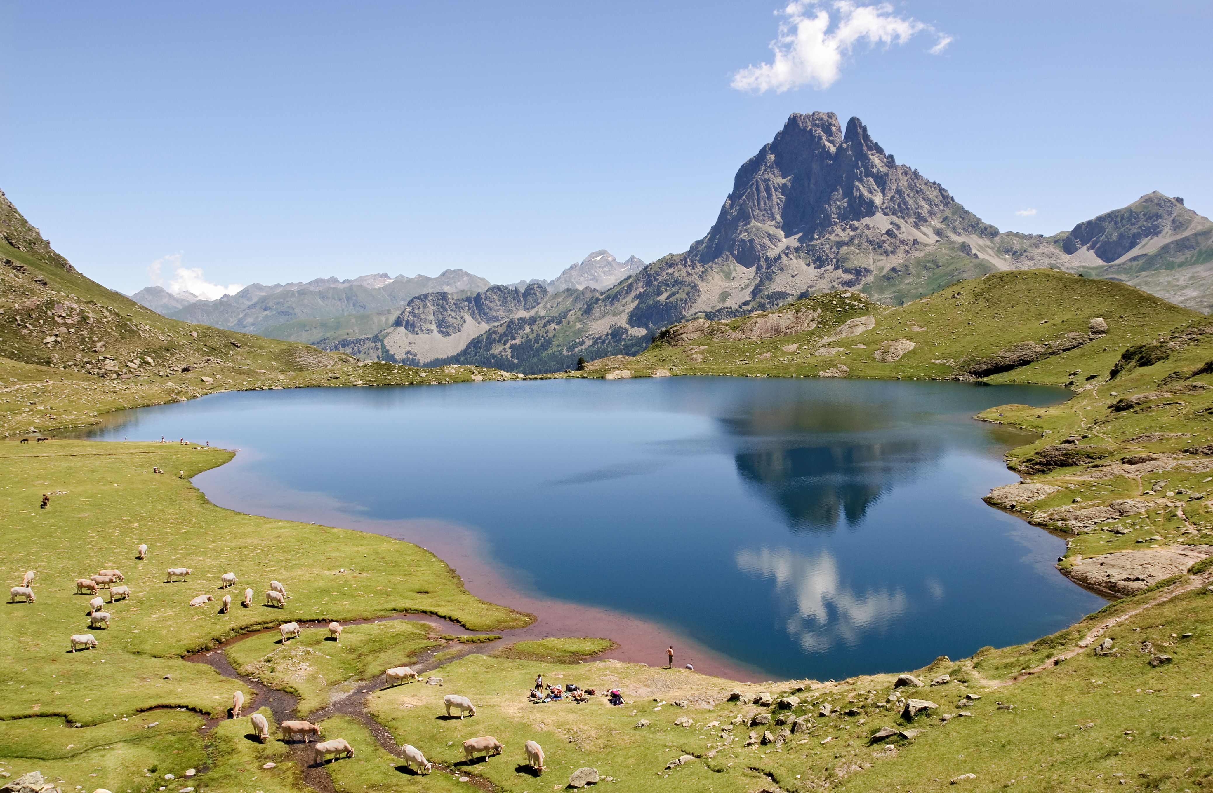
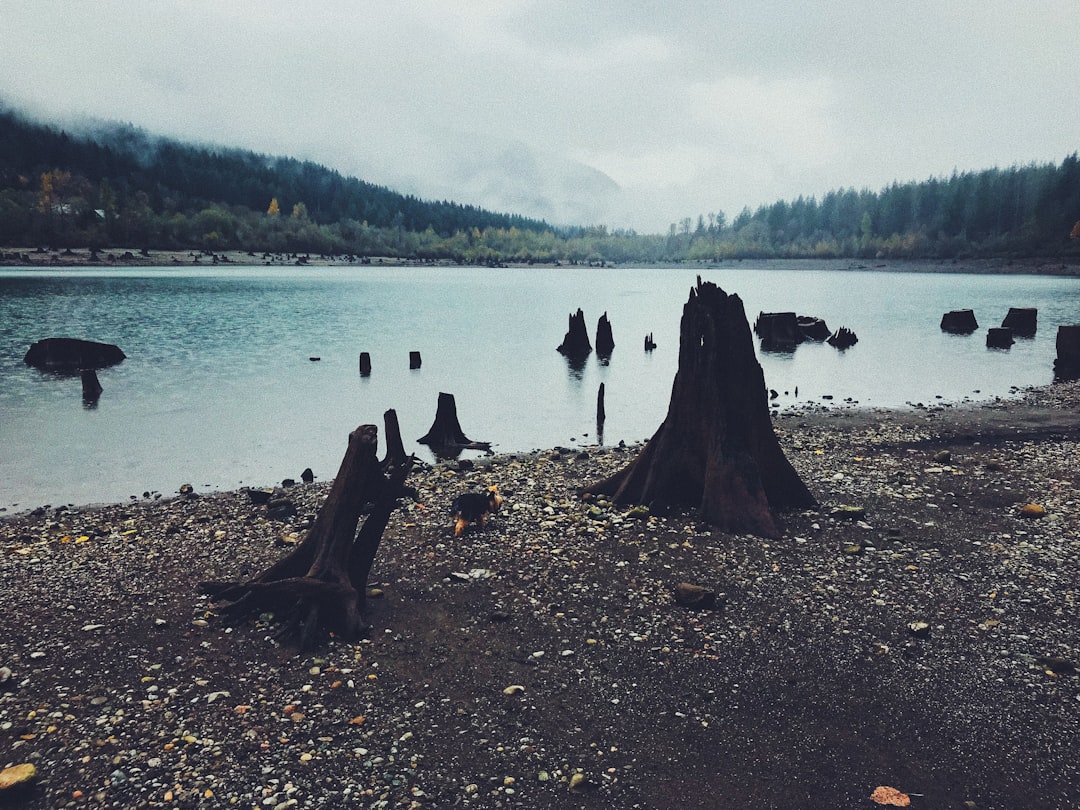
Accumulated sediments at the bottom of lakes are invaluable archives of past climate and environmental change. These sediments contain a variety of physical, geochemical, and biological proxy indicators that can be used to gain a multi-faceted understanding of past conditions. Think of lake beds like nature’s filing cabinets, where each layer tells a story about the weather conditions when it was formed. What makes these records so special is their continuity. Unlike other high-resolution paleoclimate archives, such as tree rings, corals, and speleothems, lake sediments generally offer continuous records of environmental change over thousands of years or longer. The sediment layers stack up year after year like pages in a book, creating detailed chronicles that can span tens of thousands of years. Scientists can read these muddy pages to understand not just what the climate was like, but how dramatically it could change from one decade to the next.
Decoding Nature’s Rain Gauges
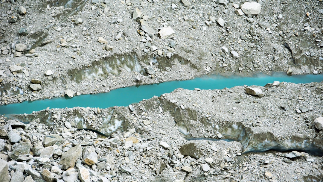
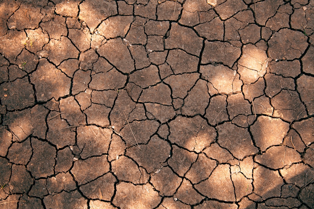
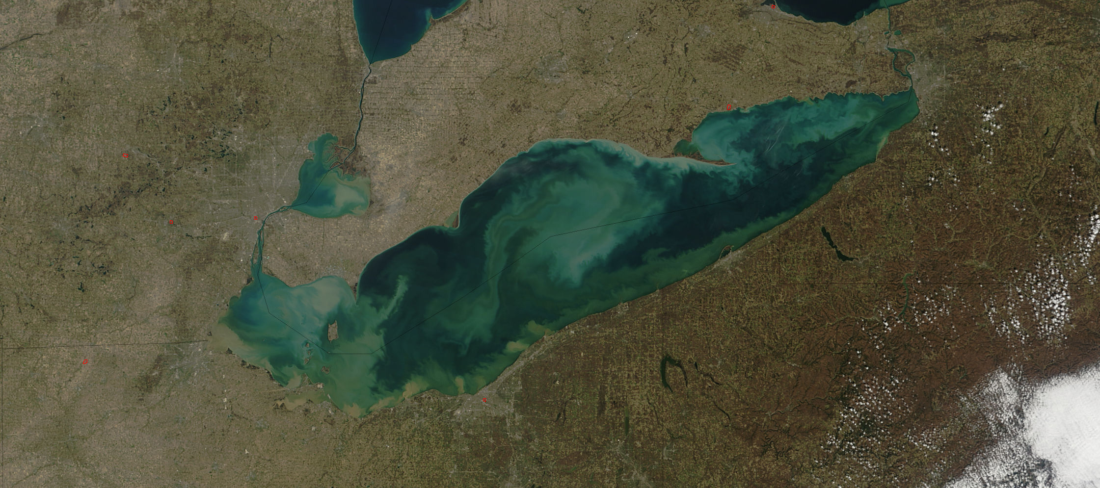
Because lake sediments are continental indicators sensitive to environmental changes, they can be used to reconstruct climate parameters, such as past rainfall, area management and environmental or limnological lake conditions. Changes of rainfall quantity can be recorded in lake archives by the variation of sedimentary input, which is related to changes in drainage basin and erosion rate. When it rains heavily, more soil and organic matter wash into lakes, creating thicker, darker layers. During dry periods, less material flows in, resulting in thinner, lighter-colored sediment layers. Beside of sedimentary input, lake sediments also exhibit physical and chemical changes in water bodies which, in turn, induce transformation in geochemical composition caused by changes in runoff or other allocated components. These chemical fingerprints act like molecular witnesses to past climate conditions. Scientists analyze elements like calcium, iron, and organic carbon to piece together detailed pictures of ancient precipitation patterns.
The Technology Revolution in Lake Studies
In this context, we made a compilation of paleoclimatic studies on lake sediments (about 350 lakes), focusing on the main proxies used. Our study shows that there has been a change in the major proxies used along decades and with the emergence of new analysis techniques. Modern technology has transformed how scientists study these ancient archives. High-resolution scanning techniques can now detect seasonal variations within individual sediment layers, allowing researchers to reconstruct climate conditions at an almost monthly level. Numerous studies have identified close relationships between instrumental meteorological records and data obtained from varved sediments, in some cases at annual resolution, demonstrating the great potential of varves for high-resolution paleoclimatic reconstructions. The majority of these studies have related meteorological parameters with sedimentary variables in clastic varves that reflect transport of minerogenic material.
Surprising Discoveries About Mega-Droughts
For example, tree-ring and lake-sediment records from North America show that decadal-scale “megadroughts” occurred multiple times over the last thousand years. During these periods, persistent droughts lasted much longer than any of the droughts we have experienced over the period of instrumental records. These findings have been eye-opening for climate scientists and water managers alike. The discovery that severe droughts could persist for decades, not just years, has changed how we think about water planning and climate resilience. Some of these ancient mega-droughts were far more extreme than anything recorded in modern times, lasting for thirty or even fifty years in some regions. This knowledge is crucial for understanding what might be possible in our future climate.
The Holocene Climate Optimum Revealed
Paleoclimatic researches have revealed that the East Asian summer monsoon (EASM) strengthened and precipitation increased in north China during the early to middle Holocene. The lacustrine landform and sediment recorded approximately simultaneous Holocene high lake levels. Studies from regions like China’s Mu Us Desert show that areas now dry and barren once supported large lakes during warmer periods thousands of years ago. Paleolimnological records have shown that prior to the first discernible human impacts during the Holocene (past 11,700 years), natural factors of warming temperature, catchment vegetation development, and lake geomorphological settings very often led to high aquatic production and anoxic conditions in stratified deep lakes of temperature regions, with examples in northern China. In these lakes, anoxia or meromixis often occurred during the Holocene thermal optimum of the Northern Hemisphere with warm temperature and closed forest canopy prior to human-induced deforestation around the lake in the Late Holocene. This period, known as the Holocene thermal optimum, shows us how different our planet’s rainfall patterns can be during warmer climates.
European Climate Connections Across Continents
Employing a combination of sedimentological and geochemical methods, we demonstrate that sediment core sections with well-preserved varves and lower Ca/Fe ratios correspond to periods of higher water levels associated with colder and wetter climatic conditions. We identify twelve periods of lake level high stands, consistent with other lake sediment records from western Poland and Europe, as well as with North Atlantic IRD events. Research from European lakes has revealed fascinating connections between local rainfall patterns and large-scale ocean circulation changes. These studies show that when icebergs appeared in the North Atlantic during cold periods, lakes across Europe experienced higher water levels due to increased precipitation. This demonstrates how our planet’s climate system is interconnected in ways we’re only beginning to understand.
Bolivian Altiplano: A Desert’s Watery Past
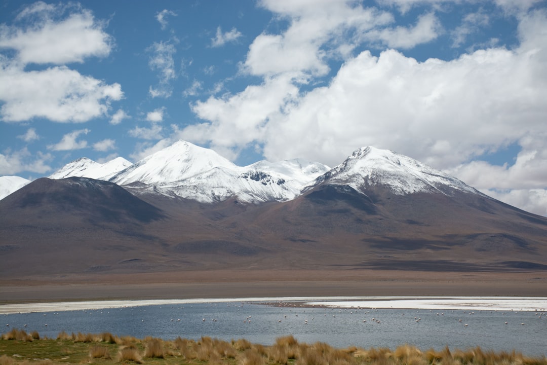
By coupling this new lake history to a hydrologic budget model we are able to evaluate precipitation variability on the Southern Bolivian Altiplano over the last 130 ka. These modeling efforts underscore the relative aridity of the Altiplano during the rare and small lake cycles occurring between 80 and 20 ka, when colder temperatures combined with little or no change in rainfall produced smaller paleolakes. Relative aridity between 80 and 20 ka contrasts with the immense Tauca lake cycle (18.1–14.1 ka), which was six times larger than modern Lake Titicaca and coincided with Heinrich Event 1. The Bolivian Altiplano, now one of the world’s most arid high-altitude regions, once hosted massive lakes that dwarfed anything we see today. During the last ice age, this region experienced dramatic swings between extreme dryness and periods of abundant rainfall that created enormous freshwater bodies.
Modern Technology Meets Ancient Wisdom
The Temperature 12K database is a global collection of Holocene paleotemperature records available in Linked Paleo Data (LiPD) format. The included proxy records have a demonstrated relationship with temperature and are quality-controlled (e.g., have a minimum duration, resolution, and chronological accuracy). The compilation includes 1319 paleotemperature records, including ~715 records from lake sediments. Today’s researchers have access to unprecedented databases and analytical tools that allow them to compare findings from lakes around the world. Lake sediment archives preserve numerous physical, geochemical, and biological components that when measured can be used as a substitute, or proxy for specific past conditions. Thus, as several proxies are often available for analysis within a single record, lake sediment archives offer a unique, multi-proxy potential. This means that researchers can qualitatively or quantitatively reconstruct various climate and environmental variables and explore several different facets of past change at a single site.
The Dating Game: Pinning Down Time
In addition, a variety of geochronological tools can be applied to lake sediments to robustly constrain sediment age, including: radiocarbon (14C), Lead-210/Cesium-137, tephrochronology, paleomagnetic secular variation, and optically stimulated luminescence. One of the biggest challenges in studying ancient lake beds is figuring out exactly when each layer was deposited. Scientists use multiple dating techniques to create accurate timelines for their climate reconstructions. Radiocarbon dating works for organic materials up to about fifty thousand years old, while other techniques can extend the timeline much further back. Volcanic ash layers serve as particularly useful time markers, since major volcanic eruptions are well-documented historical events that left traces across wide geographic areas.
Seasonal Patterns Preserved in Mud
In many lakes, sediments contain distinct seasonal layers, or varves, that are either biogenic (e.g., carbonate, diatom silica, and organic matter) or minerogenic (alternating coarse and fine-grained particles) in origin. Both sediment types potentially allow annual dating for sequences that span many millennia, although typically with chronological errors of a few percent. The most detailed lake records come from sediments that preserve annual layers, called varves. These form when lakes experience distinct seasonal cycles that create different types of sediment deposition throughout the year. We focus on mean daily temperature, the 90th percentile of daily precipitation, and the 90th percentile of daily mean wind speed based on the expectation that days with intense precipitation or wind would have a stronger effect on the sediments than mean seasonal values. Recent studies have shown that these annual layers can even preserve evidence of extreme weather events, like particularly intense storms or drought periods.
Challenges and Limitations
Lake water biology and chemistry are often sensitive to temperature, but they are also influenced by other factors such as precipitation, watershed land use, and atmospheric pollution. To obtain unambiguous climate signals from lake records, researchers often choose sites in remote locations, such as the High Arctic. Not all lake beds are created equal when it comes to preserving climate signals. Human activities, pollution, and natural changes in lake ecosystems can complicate the climate records. Interpretation of climate signals recorded in the sedimentary properties of biochemical and biogenic varves has proven much more challenging than in clastic varves due to more complex and often non-linear interactions between climate forcing, ecological and hydrochemical response, endogenic organic matter and mineral formation, and sedimentation. This is why scientists are increasingly careful about site selection and use multiple lines of evidence to support their climate reconstructions.
Implications for Our Climate Future
Understanding “climate surprises” of the past is critical to avoid being surprised by abrupt climate change in the future. The study of past climate change also helps us understand how humans influence Earth’s climate system. The insights from ancient lake beds are not just academic curiosities – they have real implications for how we prepare for future climate challenges. By understanding the full range of natural climate variability, we can better assess how human activities are changing our planet’s climate system. Furthermore, paleoclimatology provides data that we can use to model and predict both current and future climate change scenarios. Computer models can be used to study the potential effect of increased atmospheric carbon dioxide on climate. These ancient climate records serve as crucial testing grounds for the computer models we use to project future climate conditions. Lake bed studies continue to reveal that Earth’s climate system is capable of far more dramatic changes than we once thought possible. The knowledge gained from these muddy archives is helping us prepare for a future where rainfall patterns may shift in ways that challenge our water resources, agriculture, and society as a whole.