
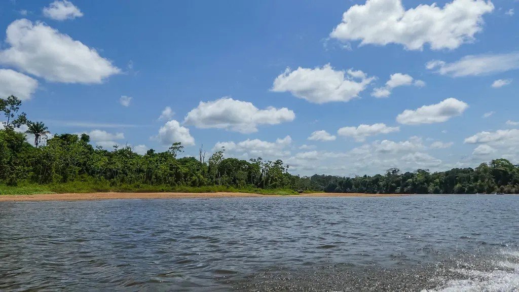

Rivers are rarely as fixed as maps suggest. Over long stretches of time, they meander, jump channels, and quietly redraw the landscapes they flow through. What’s striking about the last decade or so is how visibly and verifiably these shifts have occurred, often captured in sharp detail by satellites orbiting overhead.
Human influence on climate and terrestrial systems is increasingly shaping river flow regimes across the globe. Floods grow more intense, sediment loads shift, and riverbeds rise. These “channel-jumping” events, which scientists call avulsions, have caused some of the deadliest floods in human history. The seven rivers below illustrate just how alive and restless these waterways remain.
1. The Koshi River, Nepal and India
The Koshi has one of the most dramatic records of channel migration of any river in South Asia. In August 2008, the Koshi abruptly shifted some 75 miles eastward, broke its banks, and inundated hundreds of villages in Nepal and the Indian state of Bihar, forcing a million people to evacuate their homes. That single event set the tone for what scientists would observe and document in the years that followed.
The Koshi has shifted its course, or avulsed, numerous times, and this has been easier in Bihar because of the region’s flatter plains and its high sediment deposition rate, which constantly creates the alluvial fan that defines its path. The river has been depositing silt in one course for decades, so the land height has increased significantly, pushing the water toward new paths with each major monsoon season. The humanitarian stakes remain high across Bihar’s densely settled floodplain.
2. The Brahmaputra, India and Bangladesh
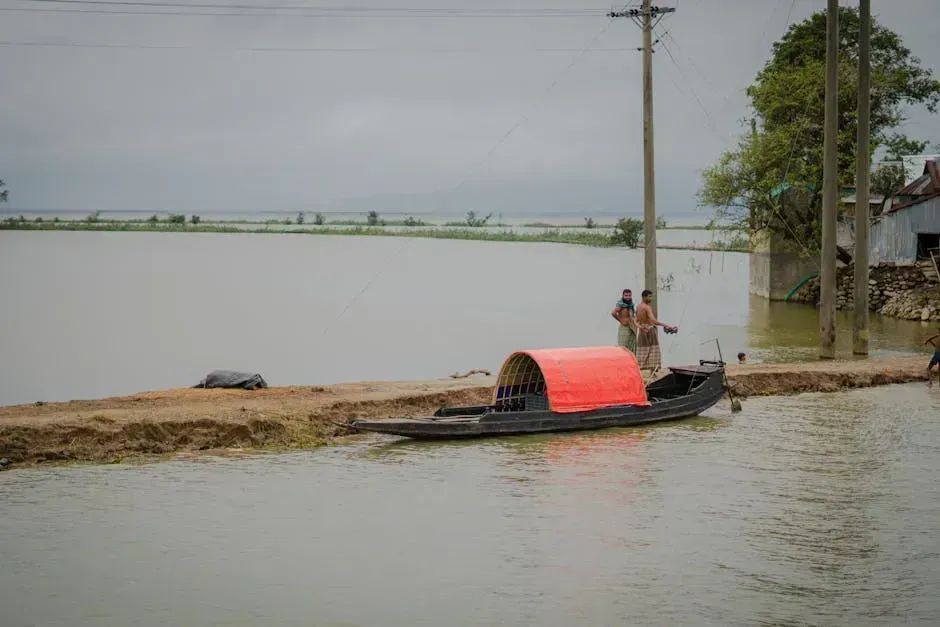
Annual flooding in Assam displaces millions of people and destroys crops, infrastructure, and wildlife, with sediment load among the highest of any river globally at roughly 735 million tonnes per year, causing the river to constantly shift course. The Brahmaputra’s channels in Assam have visibly migrated in recent years, swallowing farmland and reshaping the famous river islands called chaporis.
The Brahmaputra’s floodplains change form annually every monsoon, and while the flooding is essential to the ecosystem, it also causes large-scale disruption and displacement. It is a braided river in Assam, often splitting into multiple channels around shifting sandbars, a pattern that has intensified in recent flood seasons. China’s upstream dam construction on the Yarlung Tsangpo adds a geopolitical dimension to this already unstable hydrology.
3. The Yellow River (Huang He), China
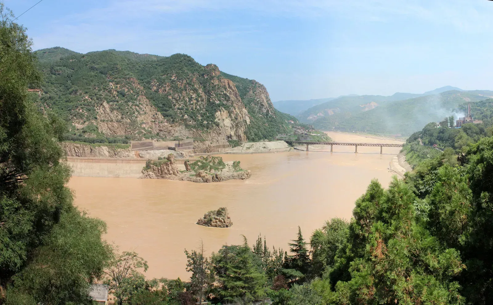
The Yellow River has arguably the most extreme history of course change of any river on Earth. Avulsions on China’s Yellow River killed over 6 million people in the late 19th and early 20th centuries. In recent decades, the challenge has shifted from dramatic avulsion to a quieter but equally serious problem: the river’s lower reaches have been shrinking and shifting due to enormous reductions in sediment flow caused by upstream dams and land-use change.
The Yellow River gets its name from the amount of silt it picks up, and as sediment builds up in the river’s path, it becomes easier for the river to switch to another nearby course, with the process repeating at the new course and leading to rivers that switch back and forth over the centuries. Recent satellite studies have confirmed ongoing lateral channel migration in the lower delta. By analyzing water extent variations from four decades of Landsat imagery, researchers found that morphological dynamics, including channel shifting, prevailed in roughly one fifth of the global river area studied.
4. The Irrawaddy River, Myanmar
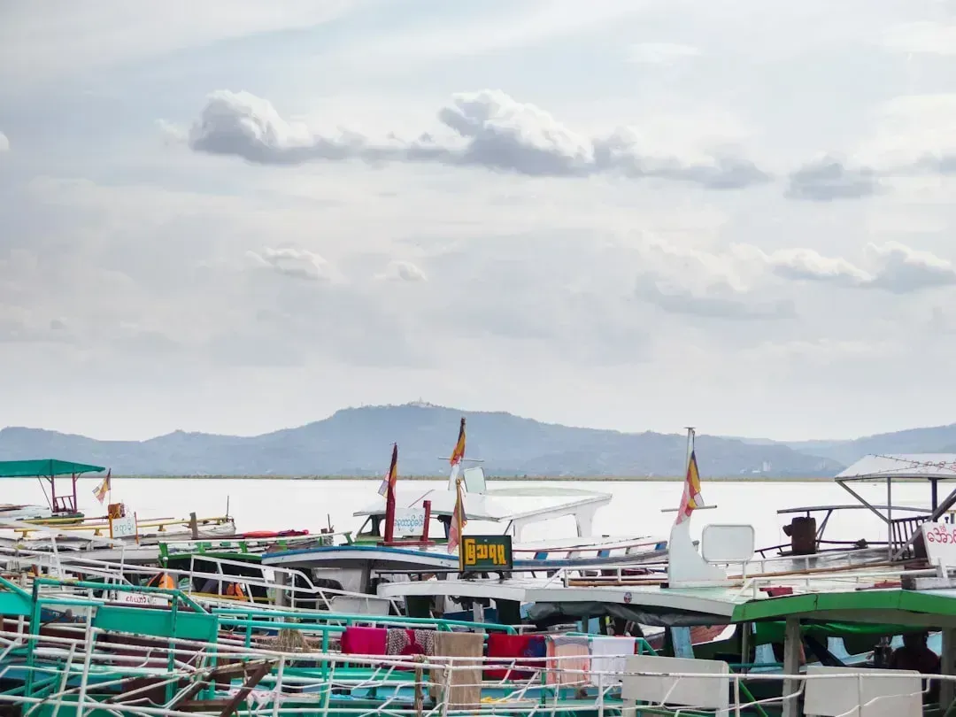
Older channels visible across satellite photographs indicate changes in the Irrawaddy River’s course. The Irrawaddy is the largest waterway in Myanmar, originating in the northern part of the country and flowing approximately 2,170 kilometers south before emptying into the Andaman Sea. In its broad, low-lying delta region, channel migration has been ongoing and has accelerated with changing sediment dynamics tied to upstream land use.
It is probable that the upper Irrawaddy originally flowed south from Mandalay, discharging its water through the present Sittang River to the Gulf of Martaban, and that its present westward course is geologically recent. More immediately, the delta’s distributaries have been shifting position in response to monsoon intensity variations observed across the past decade. Climate change is already increasing flooding in many parts of the world and washing more sediments into rivers, while land use changes such as converting forests to farmland are also increasing sediment loads, both of which directly influence how quickly the Irrawaddy’s delta channels relocate.
5. The Mekong River, Southeast Asia
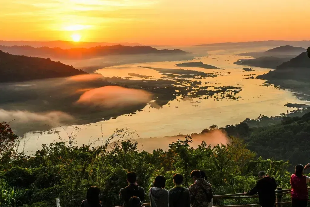
The Mekong River basin was, until recently, among the last major global rivers relatively unaltered by humans, but this has been changing alarmingly in the last decade due to booming dam construction. The physical consequences have been significant. Reduced sediment transport has caused the riverbed in parts of the lower Mekong to drop, prompting channel banks to erode and the river’s path to shift in ways that were not observed in earlier decades.
During the monsoon season, the Mekong River swells and exerts such a force of water that the Tonle Sap tributary reverses direction and floods the lake in Cambodia, a phenomenon that itself has been disrupted by altered upstream flows. While an increased number of dams could be beneficial for flood control, the majority of the Mekong’s large dams are intended for hydropower production, which prioritizes power generation over downstream flood mitigation, leaving lower communities exposed to unpredictable channel behavior.
6. The Wayombo River, Suriname

The Wayombo River in Suriname flows over flat terrain with minimal elevation change, splits in the central part of the country, and from its upper reach can either flow west toward the Nickerie River or east toward the Coppename River, with both paths ultimately draining into the Atlantic Ocean. Which direction it actually takes depends on a shifting mix of conditions.
Seasonal rainfall plays a key role in determining the river’s course, but so do manmade structures. A lock near the connection with the Nickerie River is used to divert water westward to support rice farming, though without this infrastructure the Wayombo may instead flow east, making it one of the rare rivers capable of reversing or redirecting its course depending on current hydrological and management pressures. Ongoing observations from satellite missions such as SWOT are helping researchers better track and understand the behavior of such bifurcating and unpredictable river systems.
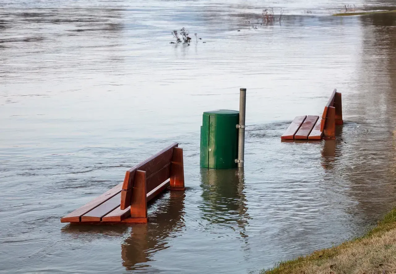
7. The Mississippi River, United States
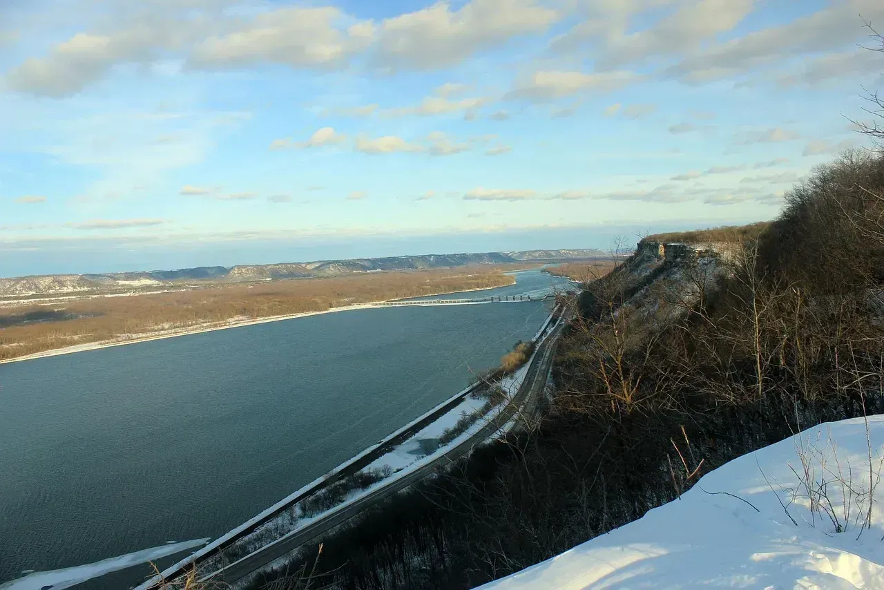
The Mississippi River has changed course repeatedly over the past 7,000 years, depositing sediment that created much of the land of southern Louisiana. In the more recent past, individual flood events have produced temporary but dramatic reversals. After Hurricane Isaac in 2012, the river’s flow reversed for approximately 24 hours, and the river showed an increase of water to the extent that it was flowing faster backwards.
On most deltas, including the Mississippi River delta, sea-level rise is expected to cause more frequent catastrophic river avulsions, because as sea level rises, rivers respond by depositing more sediment into the channel, which raises the riverbed relative to the neighboring land, eventually forcing the river to find a shorter and steeper path to the sea. More frequent avulsions could flood coastal communities like New Orleans that are already vulnerable to inundation by sea-level rise. The Mississippi remains among the most closely monitored rivers in the world precisely because what happens to its course carries consequences for millions of people downstream.
What ties all seven of these rivers together is a simple reality: water always seeks the path of least resistance. Avulsions occur because of sediment deposition. Over time, rivers deposit sediment at the avulsion site, choking up the channel, and water always flows downhill, so as its current course becomes increasingly blocked, it eventually jumps to a new location. Climate change, dam construction, and land-use shifts are all accelerating that process. The rivers listed here are not anomalies. They are early and visible examples of a pattern playing out across watersheds worldwide.