

The ground beneath our feet feels solid, permanent, and dependable. Most of the time, it is. Except when it isn’t. Across the globe in 2026, geologists, earth scientists, and engineers are raising louder alarms about specific land zones that look perfectly buildable from the surface but are quietly losing their structural integrity below. The scary part? A lot of homes, roads, and commercial developments are already sitting on them.
Some of these zones are losing stability gradually, over decades. Others could give way far more suddenly than anyone expects. Before you break ground on your next project, or even buy that dream plot, here’s what the science actually says.
1. Actively Sinking Urban Ground: Land Subsidence Zones
It sounds like something from a disaster movie, but it’s already happening in your city. Research using space geodetic measurements found that over 20 percent of the area in each of the 28 most populous US cities is sinking, affecting approximately 34 million people and placing more than 29,000 buildings at high risk of damage. That’s an extraordinary number, and it catches most developers off guard.
Land subsidence, referring to the vertical sinking of the land surface, is a significant geohazard posing serious risks to the security of infrastructure, natural resources, the built environment, and businesses in numerous places worldwide. The problem tends to be invisible until it isn’t, which is what makes it so dangerous for anyone planning long-term construction.
Researchers estimate that more than 6.3 million square kilometers of global land is influenced by significant subsidence rates, including 231,000 square kilometers of urban and dense settlement areas and a population of nearly 2 billion. Building here without comprehensive geotechnical studies is, honestly, a gamble that the numbers increasingly say you will lose.
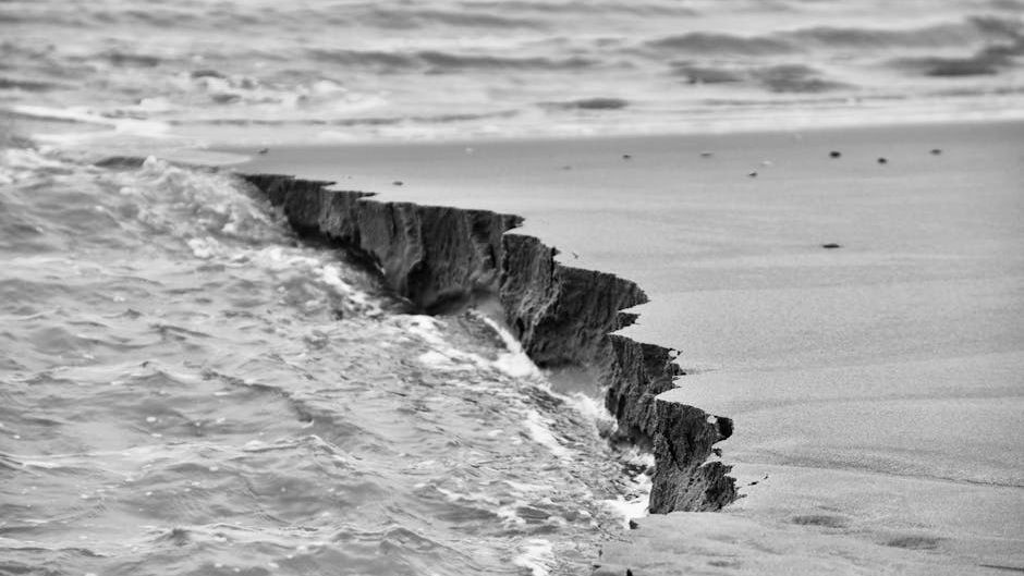
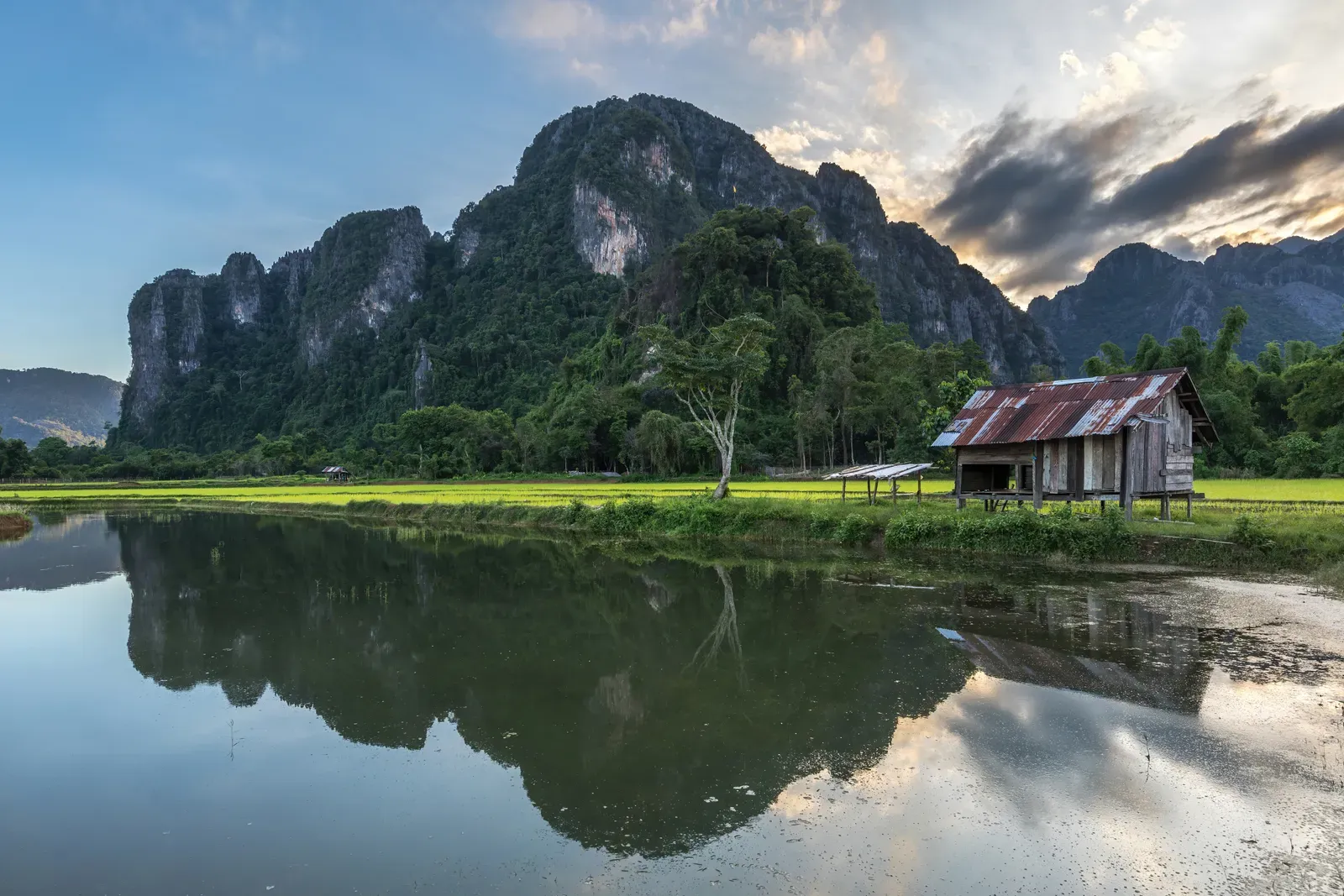
2. Coastal Cliffs and Eroding Shorelines
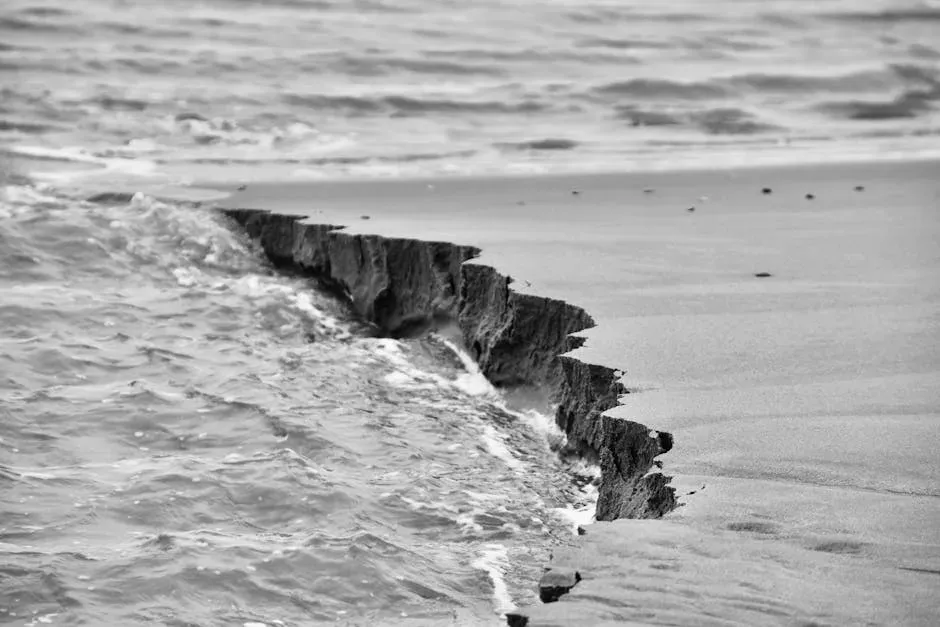
Coastal living has always carried a romantic appeal, but the geology is telling a very different story. A study published in Earth’s Future in 2025 shows that coastal areas in arid regions, such as the Mediterranean, are severely affected by erosion, with more than 7,000 buildings in the harbor city of Alexandria at risk of collapsing due to erosion processes and groundwater changes. That figure alone should give any developer serious pause.
Human activities like coastal development, dam construction, and ecosystem destruction contribute significantly to erosion and are exacerbated by severe storms and climate change, with rising sea levels and more frequent extreme weather events increasing the threat to infrastructure. The situation is compounding faster than many regional planning bodies are prepared to admit.
In addition to erosion, coastal subsidence – the sinking of coastal areas – compounds the challenges faced by low-lying coastal areas, making them even more vulnerable to the impacts of rising sea levels. Coastal subsidence is commonly overlooked in both coastal management policies and longer-term urban planning. Ignoring it doesn’t make the problem go away. It just means the bill arrives later and costs more.
3. Active Fault Zones
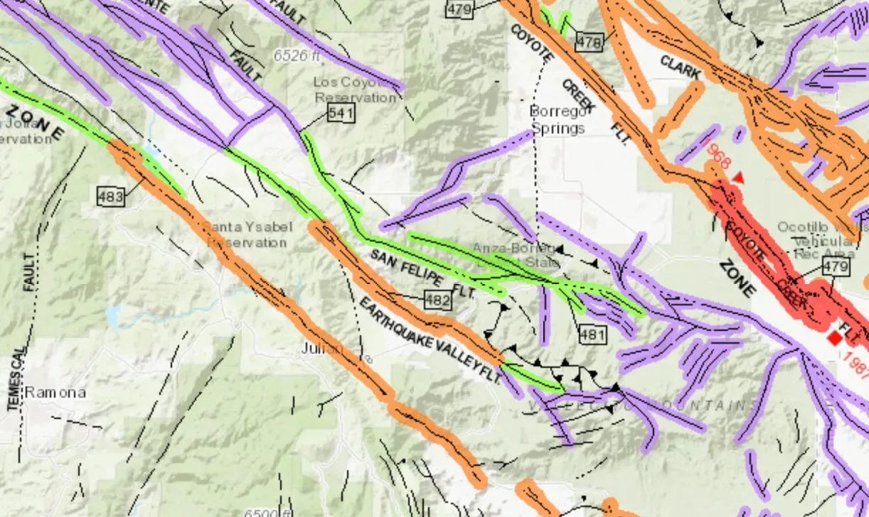
Let’s be real: building directly on or near an active fault line is one of the clearest geological warnings a site can carry. Prevention of damage caused by geological hazards including faulting, liquefaction, landslides, and tsunamis requires, first, identification of these hazards and, second, land use planning and regulation to avoid siting of structures in such locations. That principle sounds obvious, yet development near fault zones continues at a disturbing pace worldwide.
Geologic hazard assessments are often required by regulatory entities for new developments when the proposed construction is located in a fault zone, landslide area, floodplain, or coastal area, or on ground identified as unstable or hazardous. The key word there is “required.” In many jurisdictions, the requirement exists because the risk is real enough to be codified in law.
Along the Pacific Northwest coast, the Cascadia subduction zone presents one of the most dramatic examples. Along the Washington, Oregon, and northern California coasts, the next great Cascadia subduction zone earthquake could cause up to 2 meters of sudden coastal subsidence, dramatically raising sea level, expanding floodplains, and increasing the flood risk to local communities. Two meters of sudden ground drop is not something any structure is built to absorb.
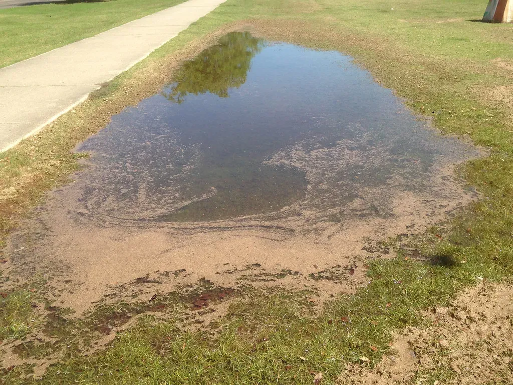
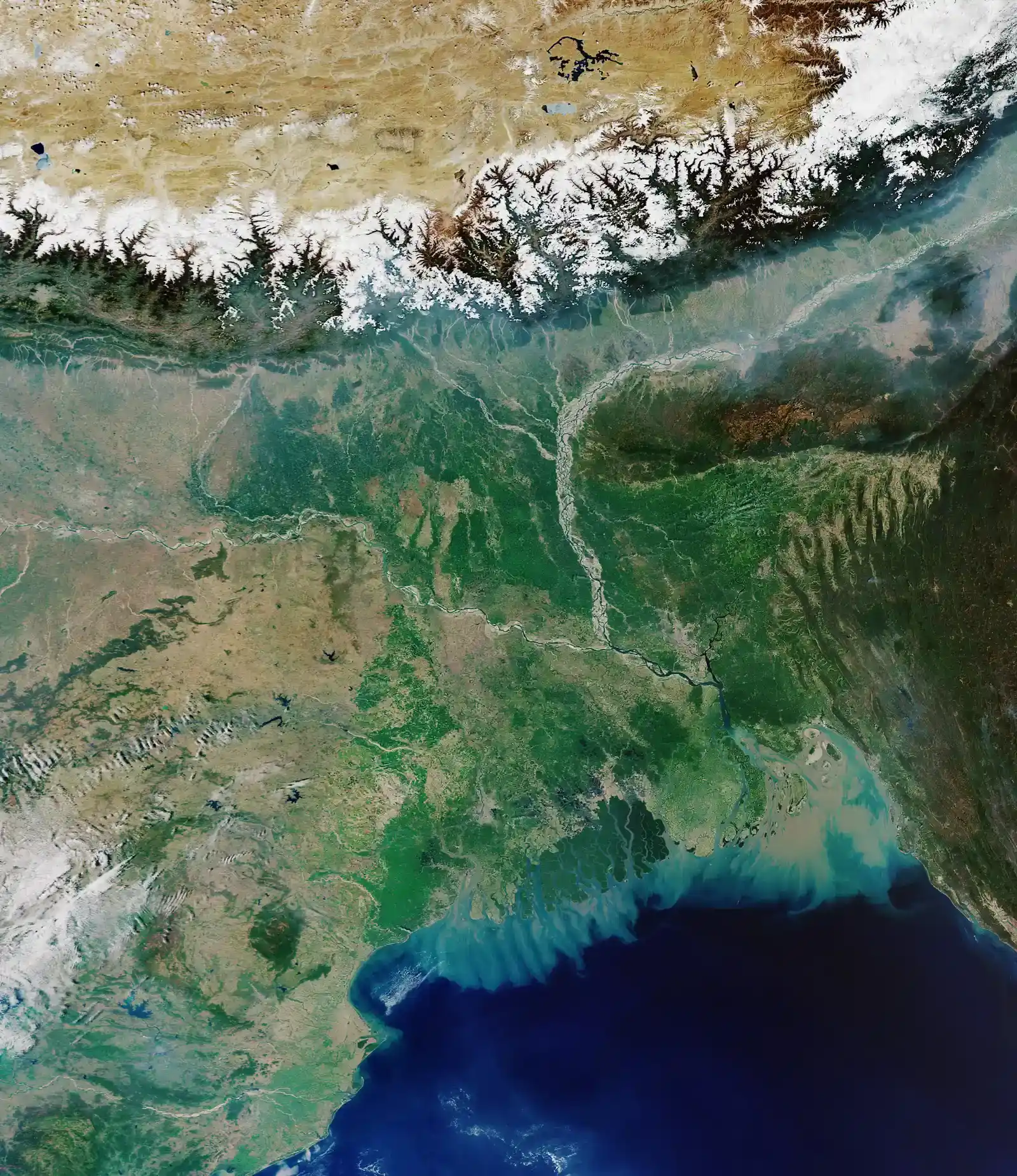
4. Floodplains and Low-Lying River Deltas
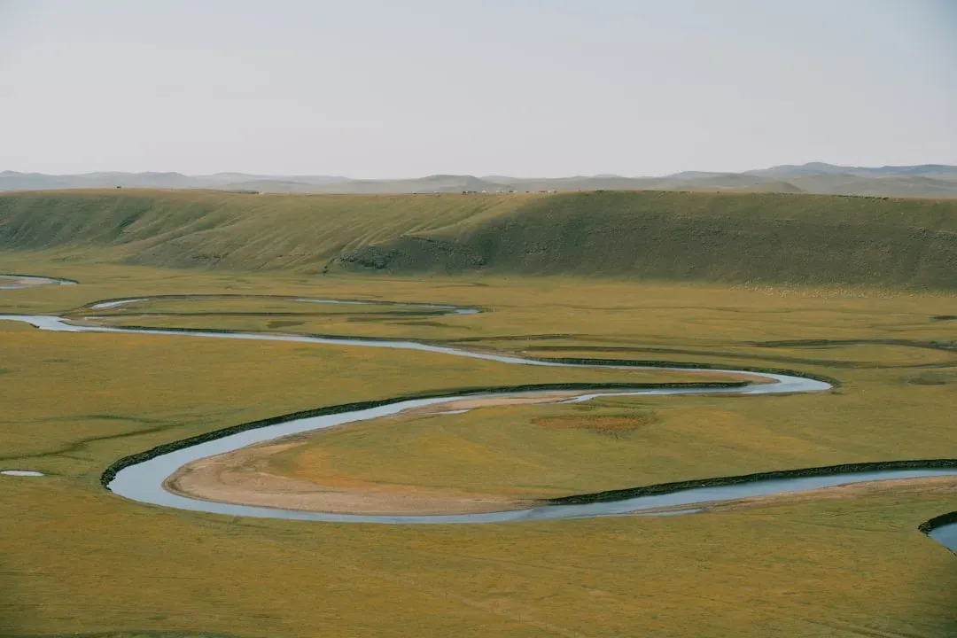
Floodplains are naturally fertile, often flat, and frequently cheap to build on. That is the trap. Globally, the escalation of geological hazards can be attributed to factors such as climate variations, river dynamics, seismic activities, and human interventions, and the increase in human and economic consequences comes as a result of population expansion and infrastructural developments encroaching upon high-risk zones, thereby amplifying vulnerability to potential catastrophic geological phenomena.
A study published in Nature combines satellite-obtained measurements of sinking land with sea-level rise projections and tide charts, projecting that in the next three decades as many as 500,000 people could be affected, as well as a potential one in every 35 privately owned properties damaged by flooding. That is not a distant projection. That is within the service life of most buildings being constructed today.
The risk compounds when a major earthquake strikes nearby. In many coastal communities along Cascadia, land would sink enough to cause instant relative sea-level rise, expanding coastal floodplains so that areas previously considered high and dry could become inundated within minutes. What looks like a safe floodplain elevation today may simply not be one after the next major seismic event.
5. Thawing Permafrost Regions

This one is specifically tied to a warming climate, and the numbers are already alarming. Degradation of permafrost, which is perennially frozen ground that often contains subsurface ice, makes it difficult to build and maintain infrastructure including roads, buildings, pipelines, and airports. As ground ice melts, soils shift and collapse, making the ground unstable and jeopardizing infrastructure at the surface.
Observed infrastructure damage is substantial, with up to 80 percent of buildings in some Russian cities and roughly 30 percent of some road surfaces in the Qinghai–Tibet Plateau reporting damage. Under anthropogenic warming, infrastructure damage is projected to continue, with 30 to 50 percent of critical circumpolar infrastructure thought to be at high risk by 2050. Think about what that means for any structure built there in the next decade.
Thawing permafrost has devastating local consequences, especially for Arctic communities. As frozen ground destabilizes, it damages critical infrastructure, including homes, roads, and pipelines, resulting in billions of dollars in economic losses. The financial exposure here is not a maybe. It is a when.
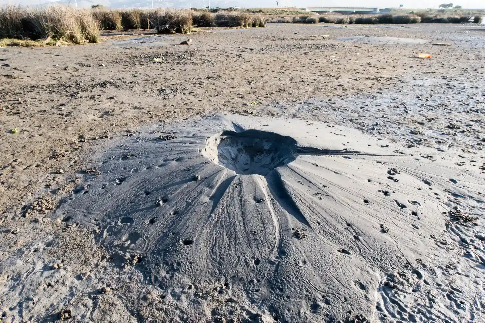
6. Karst Terrain and Sinkhole-Prone Land
Karst landscapes are formed when water gradually dissolves soluble bedrock like limestone beneath the surface. The ground above can look completely stable, even for decades, right up until the moment it isn’t. Sinkholes lurk beneath everyday landscapes, ready to swallow cars, homes, and entire neighborhoods without mercy, turning stable ground into sudden voids through land subsidence, a sneaky process that hollows out the earth from within.
Human habits accelerate these geological hazards. Cities pump groundwater voraciously for drinking and irrigation, dropping water tables and triggering land subsidence. Empty pores in soil then collapse under the weight from buildings or traffic. It’s a cycle that, once started, is remarkably hard to interrupt in developed areas.
Ground-penetrating radar is particularly useful for identifying hidden geological hazards, such as underground faults, sinkholes, or cavities. By conducting surveys, geologists can map subsurface features and assess their potential risks, a technique that has been successfully applied in urban areas to detect underground voids that may pose a threat to infrastructure stability. Without this kind of pre-construction investigation, you are essentially building blind.
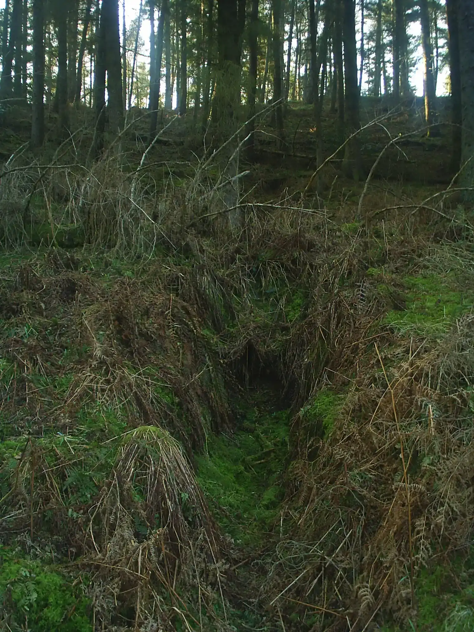
7. Steep Hillside and Landslide-Prone Slopes
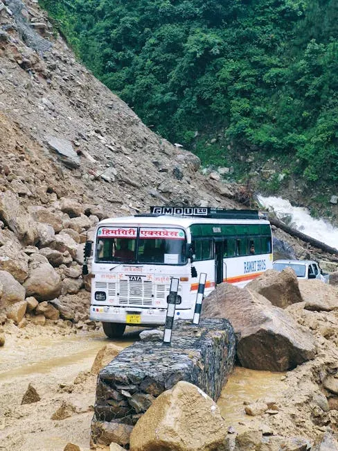
Hillside views are spectacular. The geology behind them can be terrifying. Structures on slopes or hillsides are vulnerable to landslides and rockfalls triggered by earthquakes, and detailed geological and geotechnical investigations are needed to ensure slope stability. Yet hillside developments continue to be approved and purchased by people who have never seen the underlying geotechnical data.
Landslides are mass movements of soil or rock down a slope, driven by gravity and usually water, and most slopes are vulnerable, especially after heavy rain or snowmelt. The telltale signs include hummocky surfaces, leaning trees or utility poles, and many seeps and sag ponds where horizontal and vertical movement has occurred. A sloping lot with any of these features is one that deserves serious expert scrutiny before anyone breaks ground.
A 2025 study published in the Journal of Geophysical Research examined bedrock landslides in Iceland and found that there are strong indications that the occurrence of landslides is increasing as a consequence of permafrost thawing, and the relationship between warming temperatures and slope failures is becoming clearer. This is not a localized problem. It is a global pattern that slope-side developers need to factor into every decision.
8. Liquefaction-Susceptible Soils
Here’s the thing about liquefaction: it transforms solid-seeming ground into something that behaves more like quicksand during an earthquake. Saturated, loosely packed soils, especially those found in reclaimed land, riverbeds, and poorly compacted fills, are the main culprits. In general, liquefaction can be prevented by ground-stabilization techniques or accommodated through appropriate engineering design, but both are expensive methods of mitigation, and avoidance is the best approach.
Fills are man-placed deposits of soil, rock, soil-rock mixtures, and industrial and municipal solid wastes, either dumped loosely at convenient disposal areas or placed in strict accordance with stability specifications. They occur as leveled deposits of surface mine spoil, highway construction wastes, and even buried garbage dumps and sanitary landfills. Many urban development sites sit on exactly this kind of fill without buyers or builders ever realizing it.
Until the nature of their variable contents, placement methods, stability characteristics, and foundation conditions are analyzed, the stability of fills for rigid-construction housing is questionable. I think this is one of the most underappreciated warnings in all of construction geology, and it applies to thousands of existing building sites around the world right now.
9. Subsiding Coastal Cities and Deltaic Urban Areas
Some of the world’s most densely populated cities sit on river deltas or soft coastal sediment that is actively compressing under their own weight. Subsidence refers to the gradual lowering or sudden sinking of the ground surface and is known to impact human lives in terms of damages to infrastructures, utility lines, and buildings as well as changes in the natural surficial drainage systems. Cities like Jakarta, Bangkok, and parts of Mumbai are already grappling with this at a visible scale.
An estimated 2,406 buildings across Delhi, Mumbai, and Chennai are at high risk of structural damage from ongoing land subsidence. Building damage and collapse is an emerging problem, particularly in large cities in developing countries. Although engineering shortcomings are often blamed, land subsidence is an underappreciated culprit that could put tens of thousands of buildings at risk.
The impacts of land subsidence are expected to become greater issues in the future considering increasing sea levels, population growth, intensification of coastal erosion and extreme events, and increases in flood risk and freshwater salinization. Cities in coastal or deltaic environments are more vulnerable to these phenomena, which are further worsened by the proneness to subsidence of their sedimentary deposits. New construction in these zones is borrowing against a debt the ground will eventually collect.
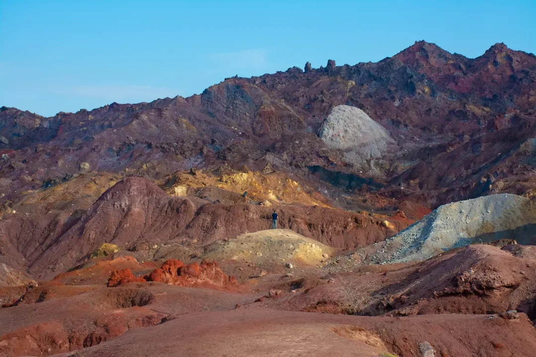
10. Former Mining and Extraction Zones
Abandoned mines, old quarry sites, and areas of historic oil or gas extraction are some of the most deceptively dangerous building locations on earth. The surface looks fine. Beneath it, the story is completely different. Land subsidence can occur rapidly over localized areas of just a few to tens of square meters, such as sinkholes from limestone dissolution, but also over large regions in areas of intensive resource extraction including California’s Central Valley, Bangkok, Jakarta, and numerous other documented locations.
Leaking sewers and storm drains mimic natural flushing, while abandoned mines leave unstable pillars beneath the surface. Even heavy farm fertilizers boost acidity, hastening dissolution of vulnerable underground formations. The combination of old infrastructure damage and chemical weathering creates a silent threat that can persist for generations after the original extraction has ceased.
Globally, land subsidence often adversely impacts infrastructure, humans, and the environment. As climate change intensifies the terrestrial hydrologic cycle and severity of climate extremes, the interplay among floods, droughts, wildfires, and subsidence must be better understood since subsidence can alter the impacts of extreme events, and extreme events can in turn drive further subsidence. Former extraction zones add a human-made layer of instability on top of this already volatile natural process. Building on them without detailed historical and geological investigation is, plainly put, reckless.
The Bigger Picture Every Builder Needs to See
Geologists aren’t telling us to stop building. They’re telling us to build smarter, in the right places, with the right data. Geologic hazards are typically evaluated by professional engineering geologists trained in the interpretation of landforms and earth processes, and these geologists conduct hazard assessments that develop summary reports describing any potentially dangerous geologic issues present at a given site. Skipping this step, even on seemingly normal plots, is a shortcut with serious long-term consequences.
When conducting geological risk assessments, it is essential to consider collaboration between geologists, engineers, and policymakers to ensure a comprehensive understanding of the risks. Collecting and analyzing historical data on geological events can also provide valuable insights into the recurrence intervals and magnitudes of hazards. The data exists. The experts exist. The only missing ingredient is the willingness to consult them before signing on the dotted line.
The earth is not passive. It shifts, compresses, dissolves, thaws, and erodes on timescales that feel slow to us but are faster than the lifetime of any building. The zones described here are not rare, exotic exceptions. Many of them are found in places where people are buying land and starting construction projects right now, today, in 2026. The question worth sitting with is this: how much of what we’re building today will still be standing a century from now, and did we bother to ask the geologists before we poured the foundation?
What do you think about these findings? Leave your thoughts in the comments below.