


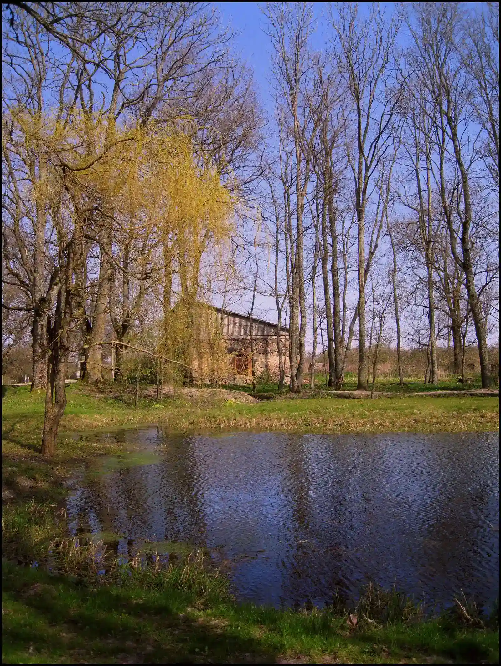
- 10 Things You Didn’t Know About Ancient Climate Records Hidden in Geological Layers - March 9, 2026
- Why Scientists Track Atmospheric Carbon With Giant Towers - October 7, 2025
- The Link Between Melting Ice and Rising Sea Levels Explained - October 6, 2025
The Earth is basically a giant diary. Layer by layer, it has been quietly writing down everything that ever happened to it, from catastrophic volcanic eruptions to slow, grinding ice ages, from sweltering greenhouse periods to frozen planetary deep-freezes. The problem is, most of us have no idea this diary even exists, let alone how to read it.
Scientists have spent decades learning how to decode these natural records, locked away inside rock, ice, cave formations, lake beds, and ocean floors. The results are often jaw-dropping. Let’s dive in.
1. Ice Cores Are Literally Time Capsules from the Atmosphere
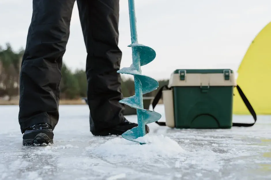
Scientists often seek clues to past climates by drilling into glaciers and ice sheets, and the extracted ice cylinders, sometimes taken from several kilometers below the surface, show evidence of atmospheric composition, volcanic eruptions, dust storms, and even wind patterns. Think of each layer as a sealed jar of ancient air, stacked on top of the next one, going back further and further in time.
The unique feature of these ice cores is that their entrapped bubbles capture the atmospheric conditions, changes in greenhouse gas concentrations, and chemical evidence of the past temperatures at the time they were deposited. Although the period documented by ice cores is unimaginably long by human standards, reaching up to 800,000 years with isolated older samples, it is still only a very short interval of the planet’s 4.5-billion-year history.
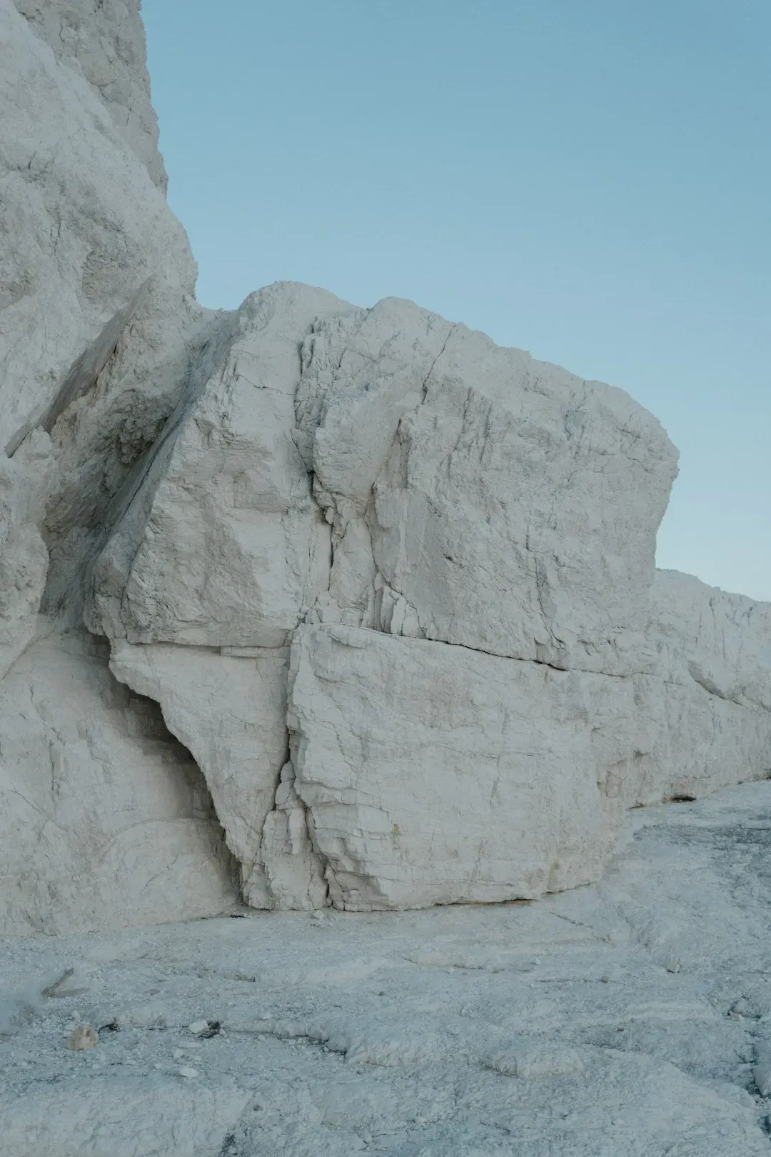
2. Antarctic Ice Just Rewrote the Record Books – Going Back 6 Million Years
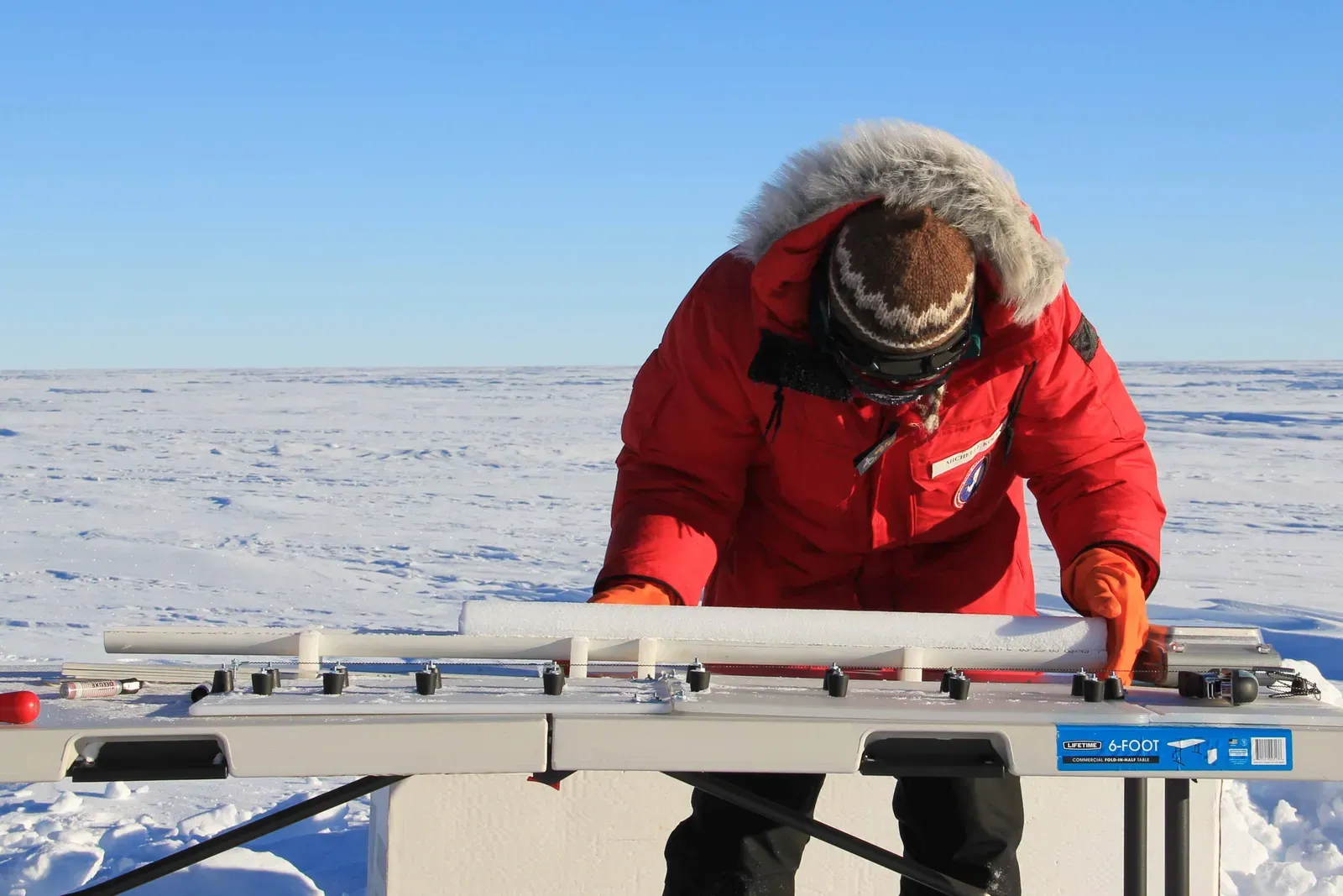
The oldest sample collected from the Allan Hills in Antarctica dates back 6 million years, a period when geological records indicate Earth was significantly warmer and sea levels were much higher than they are today. This is an absolutely staggering discovery that most people haven’t heard about.
The age of the Allan Hills samples was determined directly from the ice itself using precise measurements of an isotope of the noble gas argon, an approach that allows scientists to date the ice without relying on surrounding sediments or other indirect evidence. Analysis of oxygen isotopes in the ice revealed that the region cooled by about 12 degrees Celsius over the past 6 million years, which is the first direct evidence quantifying how much Antarctica’s climate has cooled since that ancient warm period. Published in the Proceedings of the National Academy of Sciences in November 2025, this research was led by the National Science Foundation-funded Center for Oldest Ice Exploration (COLDEX).
3. Cave Formations Record Rainfall with Startling Precision
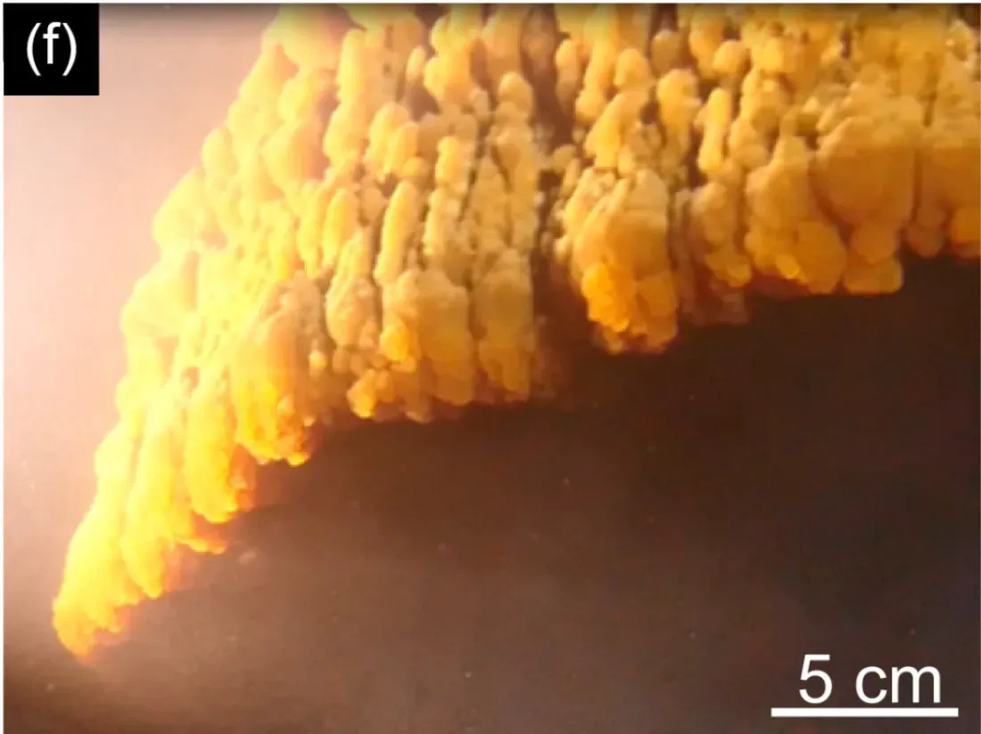
Deep in the darkness of caves around the world, nature has been silently recording climate history for thousands of years – through speleothems, which are cave formations such as stalagmites, stalactites, and flowstones, serving as remarkable archives of past climate conditions with annual or even seasonal resolution. Honestly, this blew my mind when I first learned about it.
The amount of growth in a speleothem is an indicator of how much groundwater dripped into the cave – little growth might indicate a drought, just as rapid growth could point to heavy precipitation. Uranium-thorium dating allows scientists to date speleothems with exceptional precision, often with errors of less than one percent for samples younger than 500,000 years. Scientists can also use oxygen isotope ratios in the calcite layers to track seasonal rainfall patterns and shifts in where rain actually came from, whether the ocean or inland sources, as NASA’s Earth Observatory reports.
4. Tiny Ocean Creatures Preserve a 500-Million-Year Climate History

Foraminifera, abundant single-celled creatures that live throughout cold and warm ocean waters, construct calcite shells from the minerals found in seawater and are sensitive to environmental changes, meaning their shells record information about local ocean conditions such as water chemistry and temperature when the shell formed. These microscopic organisms are, in a very real sense, the unsung heroes of paleoclimatology.
When forams die, they sink to the bottom and become preserved in seafloor sediments, and chemical analyses of their shells reveal past ocean temperatures and other conditions across depths and latitudes, going back as far as 500 million years ago in some cases. The shells of forams accumulate small amounts of the element boron, the isotopes of which reflect CO2 concentrations in the ocean at the time the shells formed, and researchers can translate those values to past seawater atmospheric CO2 contents by comparing them to modern observations.
5. Ancient Ocean Sediments Mirror Today’s CO2 Emissions
Here’s the thing – you might assume ancient climate events are too distant to be relevant. That assumption is completely wrong. Scientists reconstructed the relationship between sea-surface temperatures and atmospheric CO2 levels over a 6-million-year period covering two ancient hyperthermal events: the Paleocene-Eocene Thermal Maximum around 56 million years ago, and the Eocene Thermal Maximum 2 around 54 million years ago; the Earth was far warmer during both periods, polar ice sheets did not yet exist, and tropical Pacific ocean temperatures peaked at more than 100 degrees Fahrenheit.
A study published in the journal Proceedings of the National Academy of Sciences pairs sea-surface temperatures with levels of atmospheric CO2 during these ancient events, showing the two were closely linked, and suggests CO2 emissions during those two ancient hyperthermals were similar enough to today’s human-driven emissions that they can help scientists refine models of how fast climate will warm in the future. The total amount of carbon released during the ancient hyperthermals was similar to the range projected for ongoing and future human emissions. That is not a coincidence scientists are taking lightly.
6. Varves: Nature’s Year-by-Year Calendar Hidden in Lake Beds
In lakes without burrowing animals, the layers of sediment are undisturbed, and alternating pairs of light and dark sediment layers, called varves, form – one pair of light and dark layers forms each year as the water flowing into the lake changes with the seasons, with the light-colored, mineral-rich layer forming during colder months and the darker organic-rich layer forming during warmer months. It is, essentially, nature counting its own years for us.
Dated varve sequences provide detailed information about past conditions: thick varves often indicate wet years with heavy runoff, while thin varves suggest dry years, and the sediment also contains pollen and tiny fossils that reveal what plants grew nearby and what the water conditions were like. At just one site, Lake Suigetsu in Japan, scientists have documented over 50,000 individually counted annual layers with independent confirmation.
7. Volcanic Ash Layers Are the Ultimate Time Stamps in Sediment
Volcanic eruptions deposit layers of ash, known as tephra, across vast areas, and these layers act as time-synchronous marker horizons because a single volcanic eruption event deposits ash virtually instantaneously on a geological timescale, allowing scientists to use the unique chemical fingerprint of these ash layers to correlate and date sedimentary sequences across vast distances.
It gets even more impressive. The main advantage of tephra layers is that they can be relatively easily identified in many sediments and are deposited relatively instantaneously over a wide spatial area, meaning they provide accurate temporal marker layers that can be used to verify or corroborate other dating techniques, linking sequences widely separated by location into a unified chronology. A 2025 study published in the journal Geology by scientists from the GFZ and Leibniz Institute found that the discovery of tiny volcanic ash particles in Baltic Sea sediment significantly improved the precision of sediment age models, with researchers calculating age differences between tephra ages and radiocarbon ages to improve sediment dating accuracy for the last approximately 7,000 years.
8. Fossil Pollen Locked in Sediment Can Reveal Ancient Ecosystems
Pollen grains are produced by seed plants such as flowering plants and conifers, and fossil pollen and spores are typically dispersed from the source plant by wind, insects, and other means, eventually becoming preserved in sediment layers. What is remarkable is just how specific this record can be about which plants were growing, and therefore what the climate was like, in a given place at a given time.
Certain types of pollen occur in very specific climate zones – for example, Black Spruce trees grow in cold, high-latitude taiga forests and produce a type of pollen only found in those regions today, so if Black Spruce pollen is found in old rocks or ocean sediments at lower latitudes closer to the equator, scientists can interpret that the Earth may have been colder in the geologic past. Within the sediments, various proxies for past climate and environment are preserved, including pollen and plant remains, molecular fossils, algae, charcoal, and planktonic and benthic organisms.
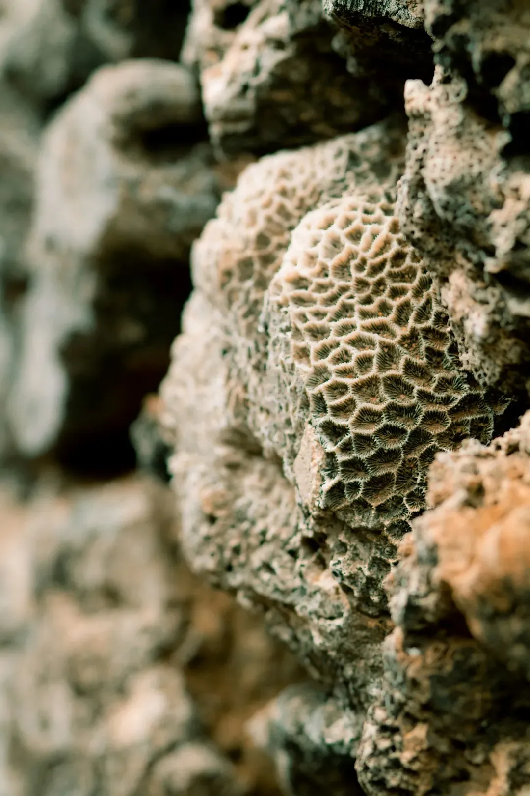
9. Coral Skeletons Archive Ocean Temperature Month by Month
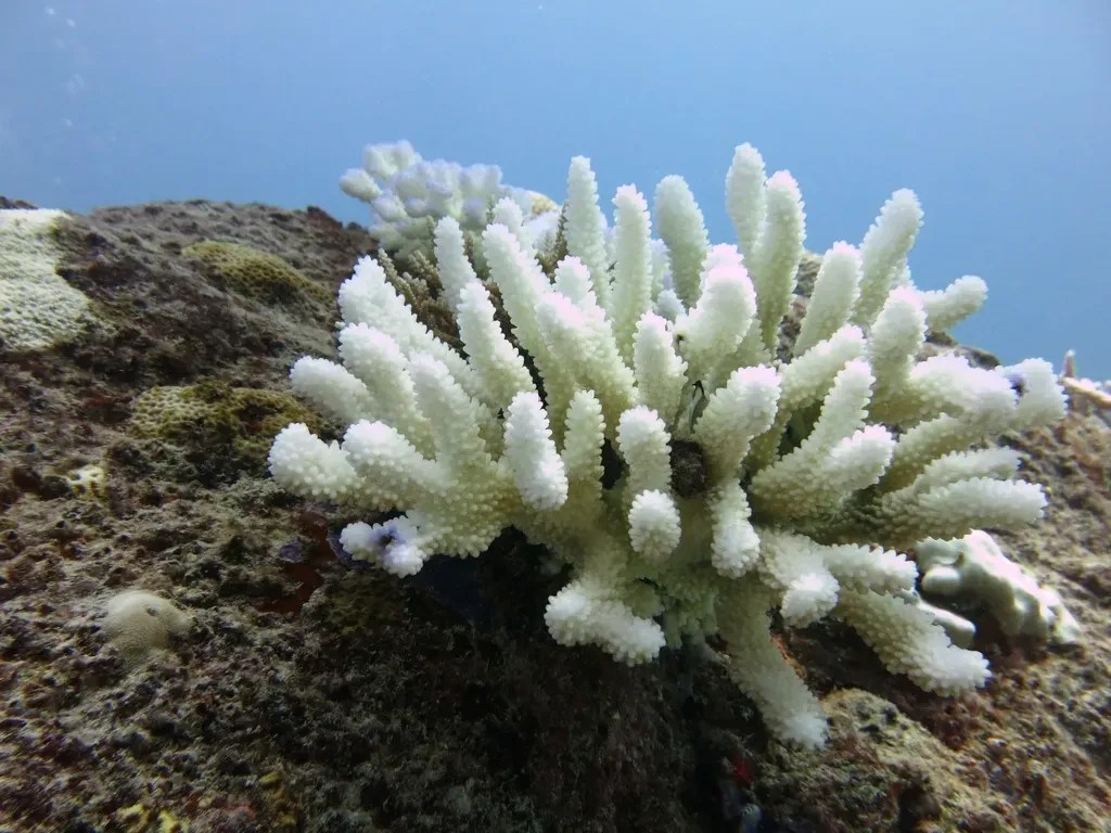
Within the carbonate skeleton of corals, there are annual growth bands, with lighter-colored layers deposited during the summer and darker layers forming in the winter, and scientists analyze the chemical composition of each layer to reconstruct monthly, annual, and longer records of past temperature and salinity. Think of coral reefs as oceanic thermometers that have been running continuously for hundreds of years.
The lighter, less dense bands usually form during warmer months when growth is faster, while darker, denser bands form during cooler periods, and this banding pattern serves as nature’s calendar, allowing scientists to assign specific years to coral growth layers. Chemical analyses of foram shells and coral skeletons can reveal past ocean temperatures and other conditions across depths and latitudes, going back as far as 500 million years ago in some cases. The resolution is extraordinary, and it is hard to say for sure we would know anything meaningful about ancient ocean circulation without it.
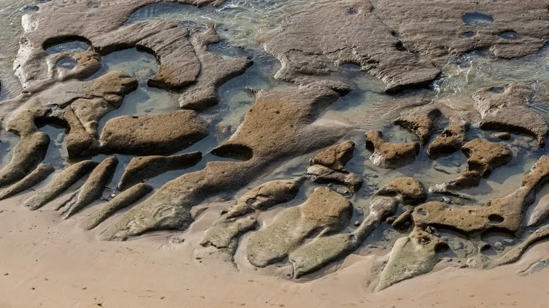
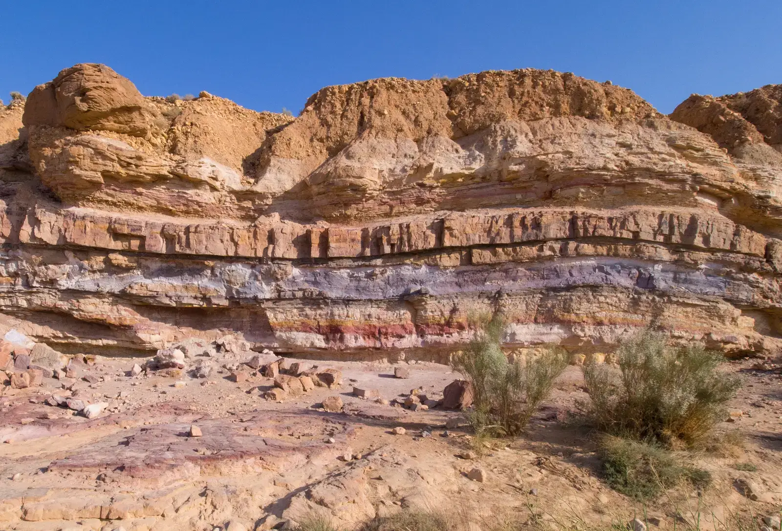
10. Sedimentary Rocks Mean Paleoclimate Records Stretch Back Nearly 4 Billion Years
The climate history preserved within layers of sediments that slowly accumulate on the bottoms of lakes and the ocean can span hundreds of millions of years, and rocks preserved on the continents that are thousands to billions of years old are used to interpret the much more distant past. When you look at a cliff face of striped rock, you are essentially staring at a timeline of the planet’s entire atmospheric history.
Sedimentary records collected through coring or geologic outcrops represent the most commonly studied paleoclimate archive, and because the oldest sedimentary rocks are about 3.9 billion years old, sediment records provide a means to study past climates throughout most of Earth’s history. Piecing together all the evidence produces a picture of a planet that was often much hotter than today, but was cooler than the present climate for most of the last 11,000 years. Taken together, the data from sediment cores and other paleoclimate records show that the air temperatures of today are higher than at any point during the last 1,500 years.
Conclusion: The Earth Has Been Keeping Score All Along
The geological record is not a vague, imprecise thing. It is a layered, cross-referenced, chemically verified archive that is more detailed than most people imagine. Ice cores, cave formations, lake beds, coral skeletons, ocean sediments, and volcanic ash layers all tell the same story, just from different angles.
What is perhaps most striking is that all of these independent records converge on the same conclusions about how our climate is behaving right now. The planet has been keeping score long before humans were around to watch. The question worth sitting with is this: now that we can read the record so clearly, what are we going to do with what it tells us? What do you think? Share your thoughts in the comments.