


- Passport to Orbit: The 6 Most Advanced Space Agencies of 2026 - September 20, 2026
- The “Coolcation” Shift: Why Travelers Are Heading North as Summers Get Hotter - September 20, 2026
- 7 Natural Phenomena People Often Mistake for Supernatural Signs - September 20, 2026
1. A rapid drop in barometric pressure
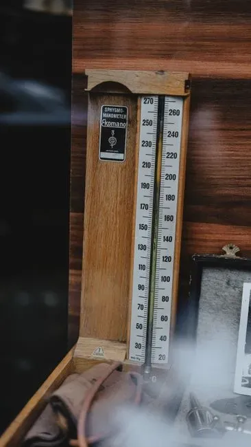
Barometric pressure is one of the oldest and most reliable tools for spotting a storm before it fully forms. A drop in barometric pressure signals that a storm may be approaching, and meteorologists rely on these atmospheric pressure changes to forecast severe weather, since low pressure is often linked to stormy conditions. The speed of the drop matters just as much as the drop itself.
A gradual drop over roughly 24 hours might signal a mild rainstorm, but a sudden plunge of several millibars in just a few hours is often the hallmark of severe weather. In extreme cases, this process accelerates dramatically. As these systems deepen, their central pressure can drop precipitously through a process called cyclogenesis, and in extreme cases such as bomb cyclones, pressure falls by at least 24 millibars in a single day.
2. Towering cumulus clouds stacking vertically

Clouds tell a story long before any warning gets issued, and one of the clearest chapters involves vertical growth. The developing stage of a thunderstorm is marked by a cumulus cloud pushed upward by a rising column of air, and this cumulus cloud soon looks like a tower, called towering cumulus, as the updraft continues to develop. That upward push is the visual signature of instability building in the atmosphere.
Once these towers reach high enough into the troposphere, they can flatten out at the top into an anvil shape, a classic marker that a thunderstorm has matured past its early stage. This growth pattern is worth watching closely during warm, humid afternoons, especially in spring and summer when the atmosphere is primed for convection. A cloud that seems to be climbing skyward in a matter of minutes, rather than drifting lazily, is often a sign that something more organized is taking shape overhead.
3. Sudden shifts in wind speed and direction
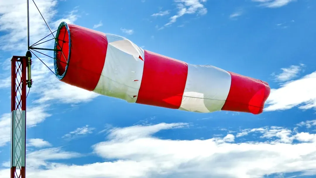
Wind behaving erratically is rarely a coincidence during unsettled weather. Meteorologists emphasize the importance of visual cues and atmospheric patterns in storm formation, and a sudden drop in temperature paired with a noticeable shift in winds can signal that conditions are ripe for severe weather to develop. This kind of abrupt change often precedes the arrival of a gust front or an approaching squall line.
In more intense storm setups, wind shifts play an even larger structural role. Supercells are severe, intense thunderstorms that produce a wind pattern called a mesocyclone, which pulls warm, moist air from near the ground up through the center of the storm cell, and in many cases a sudden change in wind speed or direction accelerates this updraft and alters the rotation direction. Anyone who notices flags snapping in a new direction or a sudden gust out of nowhere should treat it as a signal worth paying attention to, not just an odd breeze.
4. An unusually dark or green tinted sky

Sky color is one of the more dramatic, and often unsettling, indicators that a storm has grown powerful. A greenish sky is one of the most famous storm warning signs, though it does not occur with every storm, and this color shift happens when sunlight filters through heavy hail and moisture inside a severe thunderstorm. It is not a guarantee of severe weather, but it is a strong hint that the storm holds a large amount of suspended moisture and ice.
Darkening skies in general, even without the green tint, tend to correlate with the sheer scale of a storm cell. The more unnatural the sky appears, the stronger the storm is likely becoming, and if paired with thunderstorm activity, that combination should be taken seriously as a cue to prepare shelter. This is one of those cases where trusting a gut reaction to an odd looking sky is not a bad idea.
5. Rising humidity and a climbing dew point
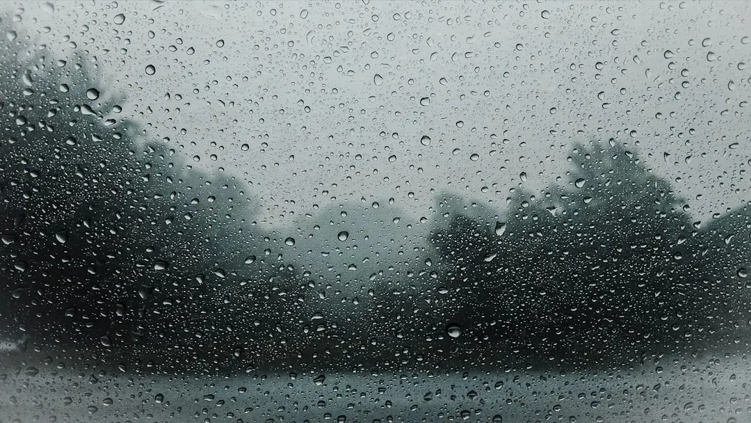
The air itself often feels different well before the first drop of rain falls. Increased humidity is another common pre-storm signal, and as a storm system approaches, moisture is drawn into the area, leading to a noticeable increase in water vapor that makes the air feel heavy and sticky. That heaviness is not just a subjective impression, it reflects real atmospheric fuel gathering for the storm.
Dew point readings give this feeling a measurable backbone. The dew point, the temperature at which air becomes saturated with water vapor, is a critical indicator, and a rising dew point suggests that more moisture is entering the atmosphere. When humid, sticky air lingers for hours without relief, especially ahead of a cold front, it is often a sign the atmosphere is loading up with the moisture that severe storms need to intensify.
6. An eerie calm or unnatural stillness
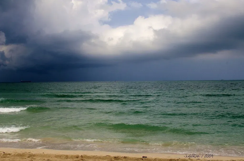
Nature sometimes goes quiet right before it gets loud, and that pause is not just folklore. The moments preceding a storm are often characterized by a confluence of atmospheric shifts, including rapid decreases in air pressure, increased humidity, changes in wind patterns, and an eerie stillness, all serving as precursors to the storm. This lull happens because the inflow feeding a developing storm can temporarily draw surface air toward the system, leaving the immediate surroundings unusually calm.
Some storm safety resources point to this stillness as a red flag rather than a relief. If your surroundings suddenly fall silent or the wind feels pulled toward the storm, that is often treated as an early indicator of potential rotation overhead. It is a subtle cue, easy to dismiss as a nice break in the weather, but worth noticing if it arrives alongside darkening clouds or a sudden pressure change.
7. Rotating cloud structures and radar-detected mesocyclones
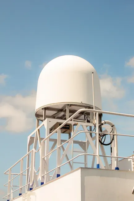
The most technical, and often most telling, sign comes from structure rather than sensation. A developing wall cloud is one of the most significant indicators, a lowering section of a thunderstorm that has the potential to create a tornado. Spotting this kind of feature visually usually means the storm has already organized into something with real rotational energy.
Modern radar technology has made it possible to catch these signs even before they become visible from the ground. The identification of polarization characteristics through dual-polarization radar plays a significant role in the short-term nowcasting and early warning of severe convection. When forecasters flag a mesocyclone signature on radar, it is often the trigger behind a severe thunderstorm or tornado watch, since a severe thunderstorm watch indicates that atmospheric conditions observed in and close to the watch area have created a significant risk for the development and intensification of convective thunderstorms that could exceed regional severe criteria.
None of these seven signs guarantees a dangerous storm on its own, and meteorologists are quick to point out that conditions can look threatening without ever producing severe weather. Still, when several of these signals stack up together, a falling barometer, a darkening sky, an odd stillness, a radar echo showing rotation, the odds shift considerably. Paying attention to official watches and warnings from the National Weather Service remains the most dependable way to know when observation should turn into action.
