


- 11 Historic Wildfires That Changed Fire Management Data Reveals - October 4, 2025
- The 1883 Krakatoa Event And Its Global Weather Effects Records Show - October 2, 2025
- How Scientists Use Climate Models To Forecast The Future - October 2, 2025
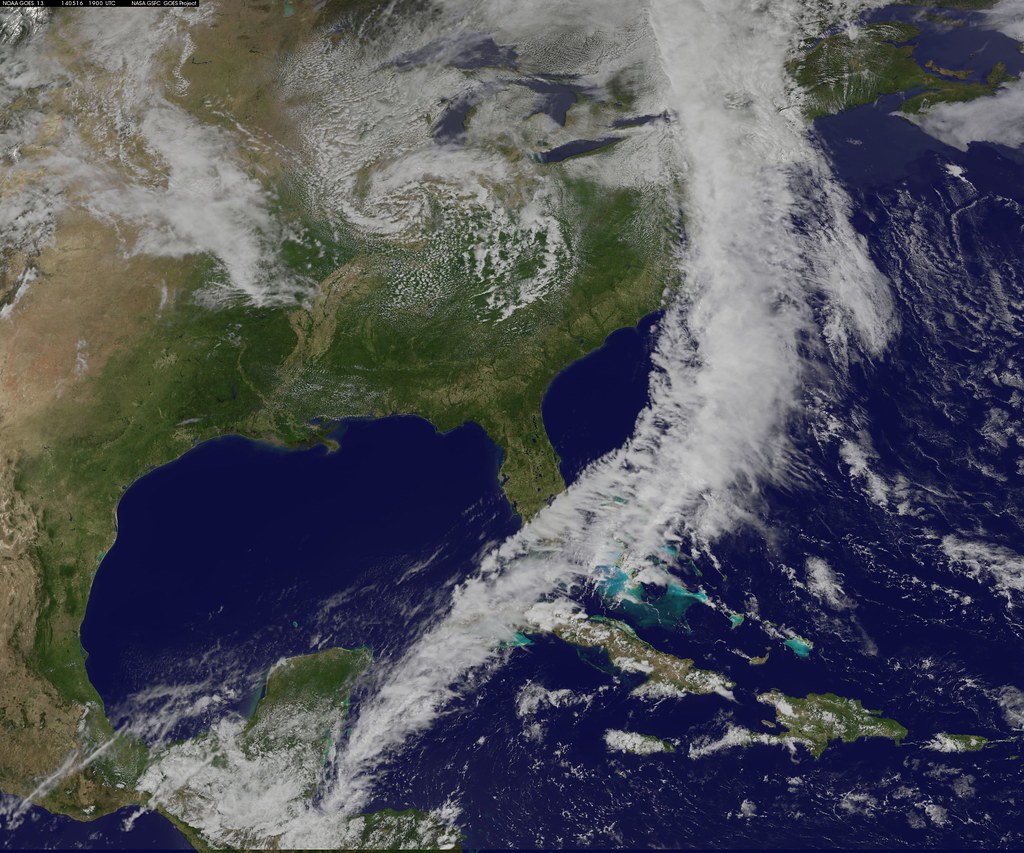
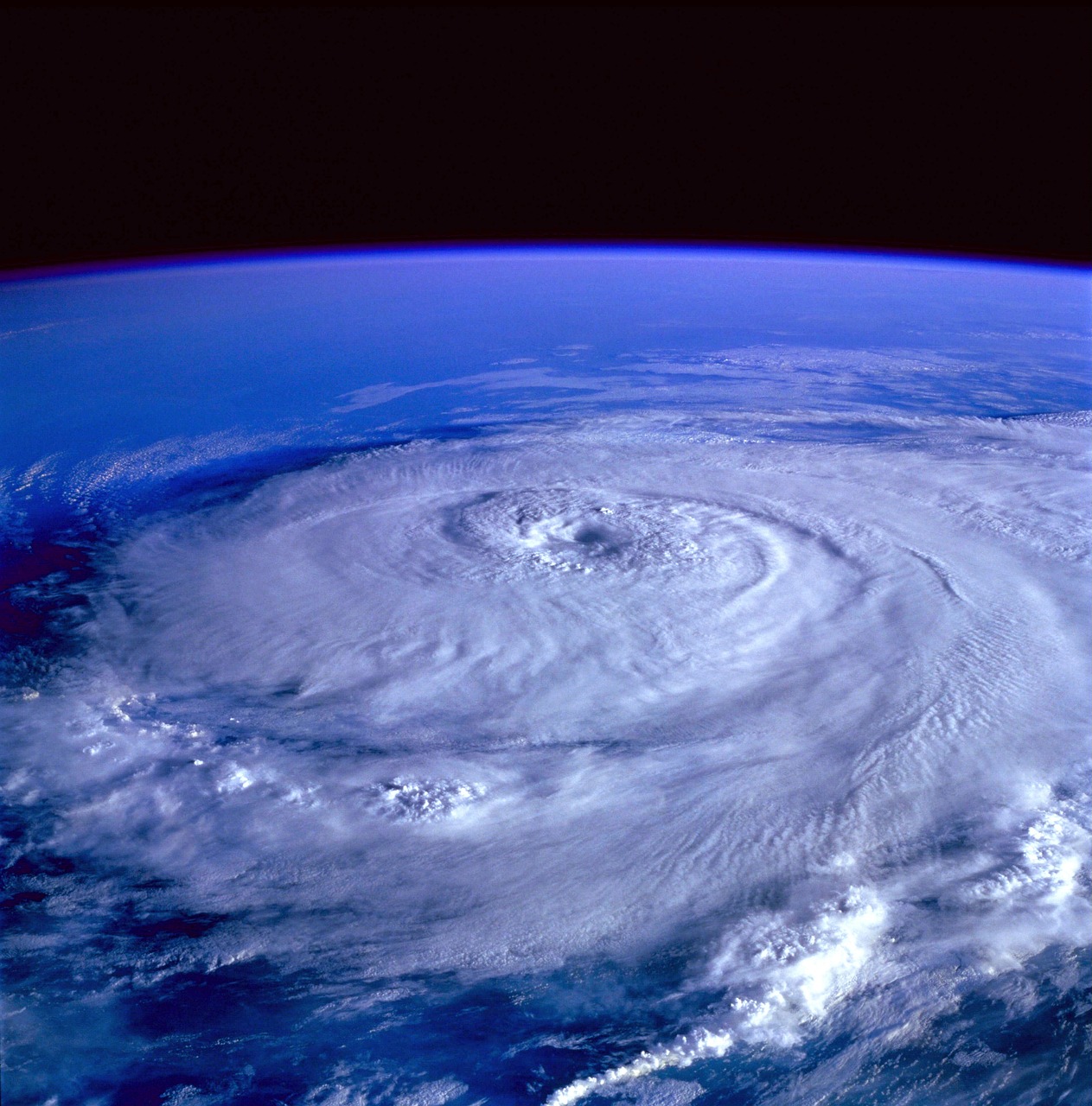
Coastal Storm Near The Carolinas
Meteorologists are monitoring a compact storm developing just off North Carolina’s coast. While it has a short window to strengthen, impacts are expected regardless of full tropical classification.
Impacts Along The Mid Atlantic

Even if it fails to become a named storm, heavy rain and gusty winds will spread through eastern North Carolina, Virginia, Maryland, and Delaware. Rain bands will extend north before the system moves offshore.
Ocean Conditions And Limitations
The storm sits over the warm Gulf Stream, which supports growth, but cooler nearshore waters and strong wind shear are limiting full tropical organization. These factors will likely keep it from reaching hurricane strength.
Coastal Flooding And Rough Surf

Persistent northeast winds are pushing water into bays and low-lying areas, causing coastal flooding from North Carolina to New Jersey. Rough surf will also increase risks for beach communities.
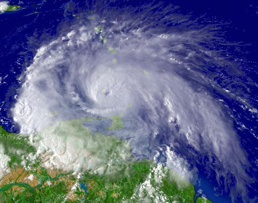
Central Atlantic Tropical Wave

Farther east, a large tropical wave that crossed from Africa into the Atlantic is showing signs of development. Meteorologists have tracked it for over a week as it slowly moves westward.
Conditions Favoring Growth

This wave is encountering dry air but is expected to soon reach more favorable conditions with lower wind shear and higher mid-level moisture. These shifts could help it strengthen into a tropical depression or storm.
Possible Track Toward Bermuda
If the system organizes, steering currents are likely to carry it north of the Caribbean, keeping it away from the U.S. mainland. However, Bermuda could eventually be in its path later this month.
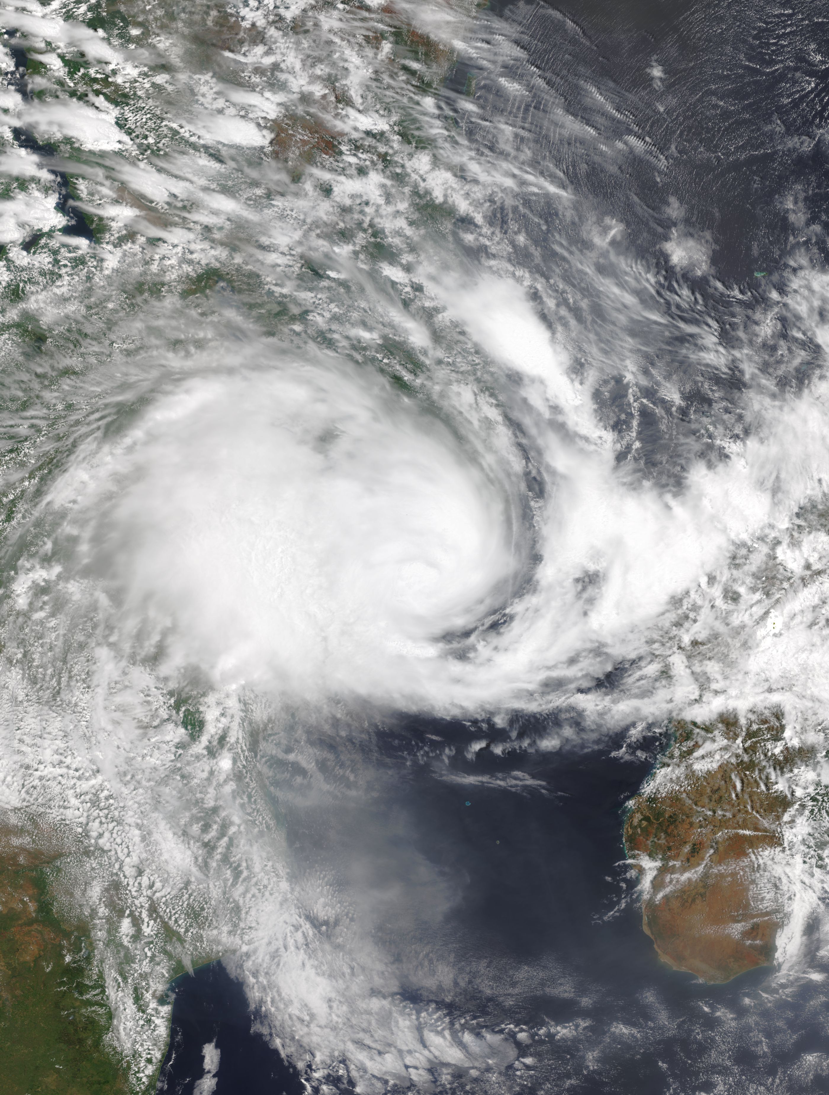
Another Wave Emerging From Africa

Another disturbance is expected to move off Africa later this week. Forecast models suggest it could start organizing quickly, adding another potential storm to watch closely.
Western Caribbean And Gulf Zone Risks
Meteorologists are also watching the western Caribbean and Gulf of Mexico, where warm waters near 90°F provide fertile ground for rapid tropical growth. Any system here could threaten land with little warning.
Historic Midseason Lull May End
So far, the Atlantic season has been unusually quiet, with no named storms forming during the peak. This mirrors 1992, the year Hurricane Andrew struck Florida. That lull may now be ending with several systems on the horizon.