

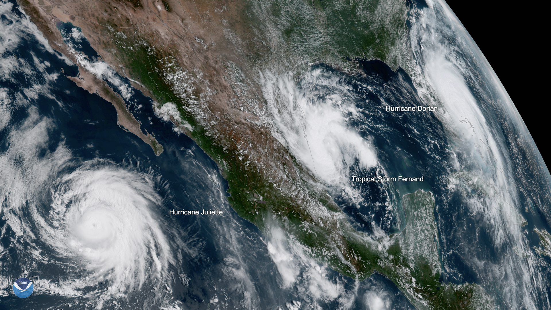
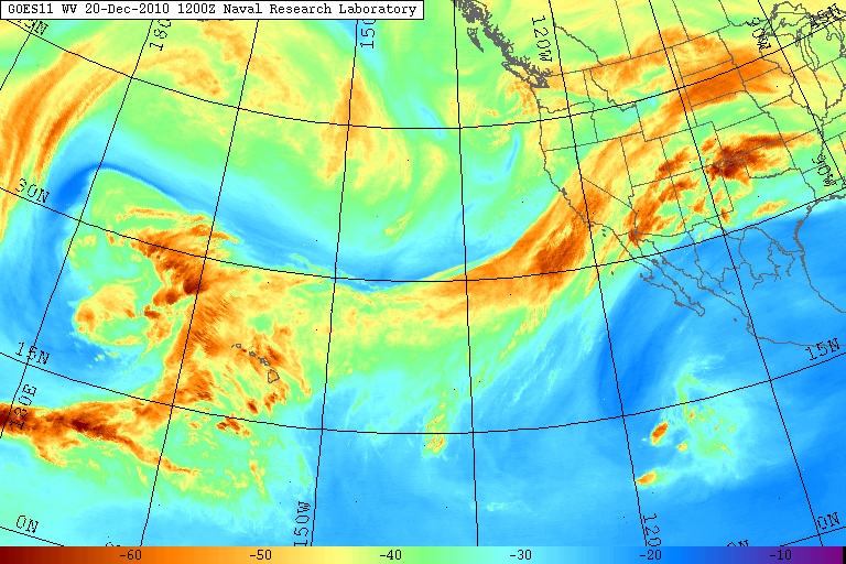
Rivers in the Sky: Getting Bigger and Wetter
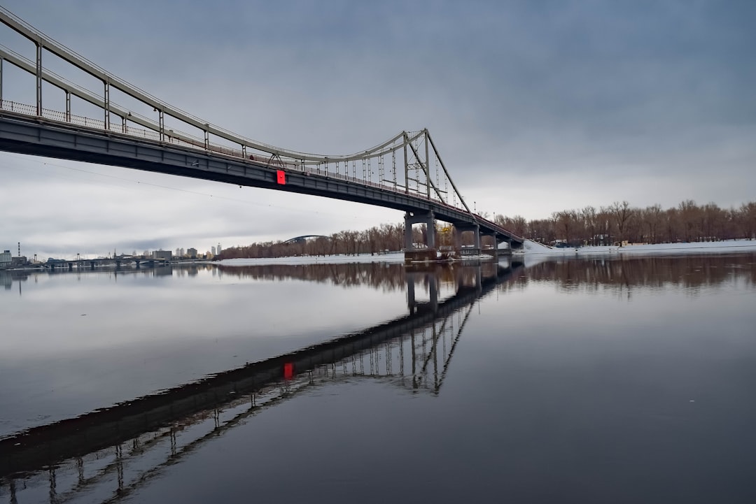
Atmospheric rivers, those massive bands of moisture in the sky, are no longer rare or subtle. According to a recent Journal of Climate study, these atmospheric giants have become 6–9% bigger and 2–6% more frequent since 1980. What’s even more shocking is how much wetter they’re getting—dumping more water on the land below than ever before. Scientists point to a warming climate as the main culprit. Warmer air holds more water vapor, which means when these rivers break, cities and towns get drenched. It’s not just about more rain—these storms are lasting longer, stretching over regions that hardly saw them before. The intensity and reach of these systems is now a headline issue for governments and residents alike.
A Surge in Moisture: What the Numbers Show
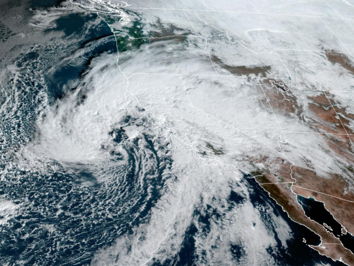
Recent research in American Meteorological Society journals paints a startling picture: atmospheric rivers aren’t just showing up more often, they’re packing more punch. Between 1980 and 2023, there’s been a clear uptick in both their frequency and the amount of moisture they carry. As global temperatures climb, this trend is expected to accelerate. Scientists say the physics is simple—warmer air acts like a bigger sponge, soaking up and eventually releasing more moisture. The result? Stronger storms, heavier rainfall, and a rising risk of flooding in places that once felt safe. These findings aren’t just predictions—they’re observations, tracked and measured over decades with ever-improving satellite and radar technology.
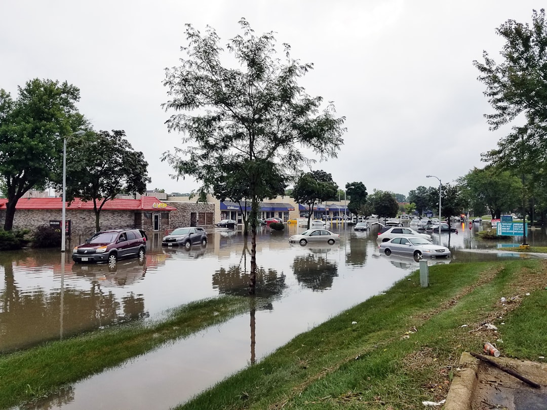
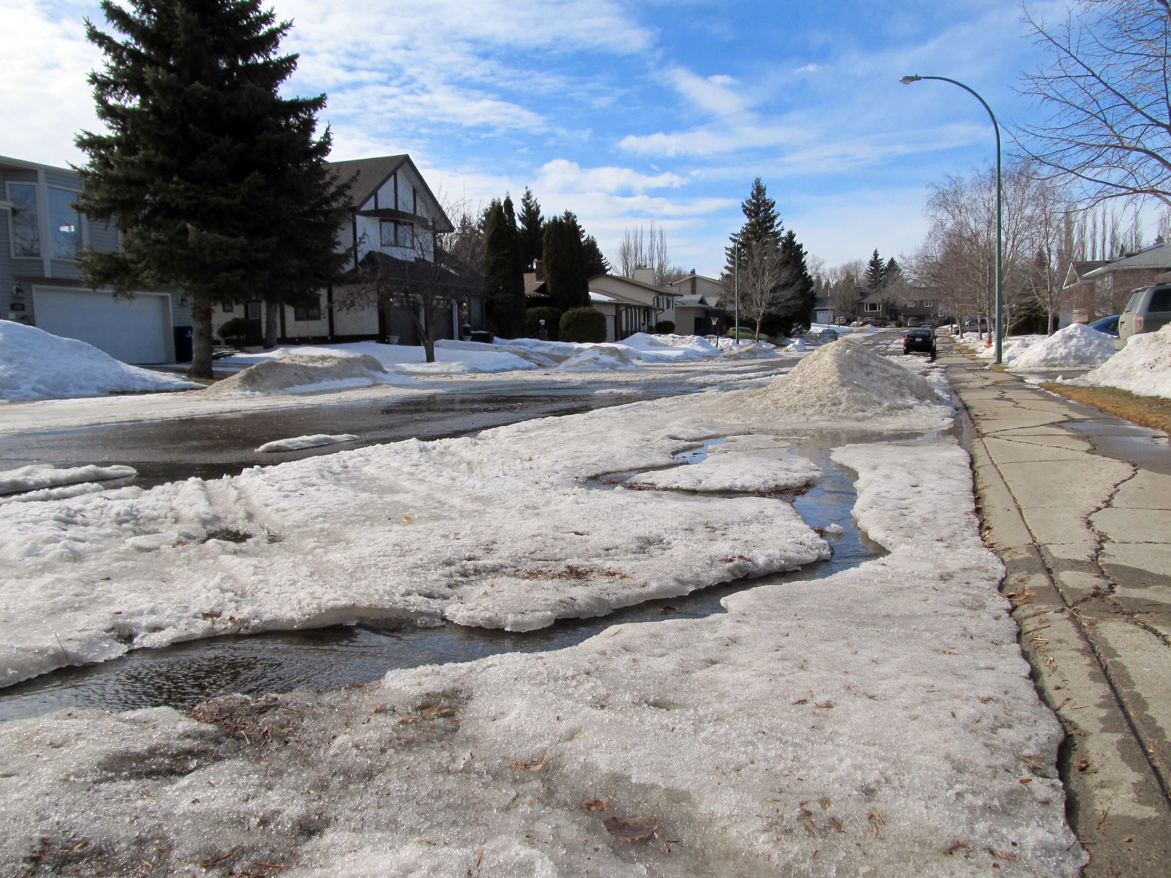
California Under Siege: A New Flood Frontier
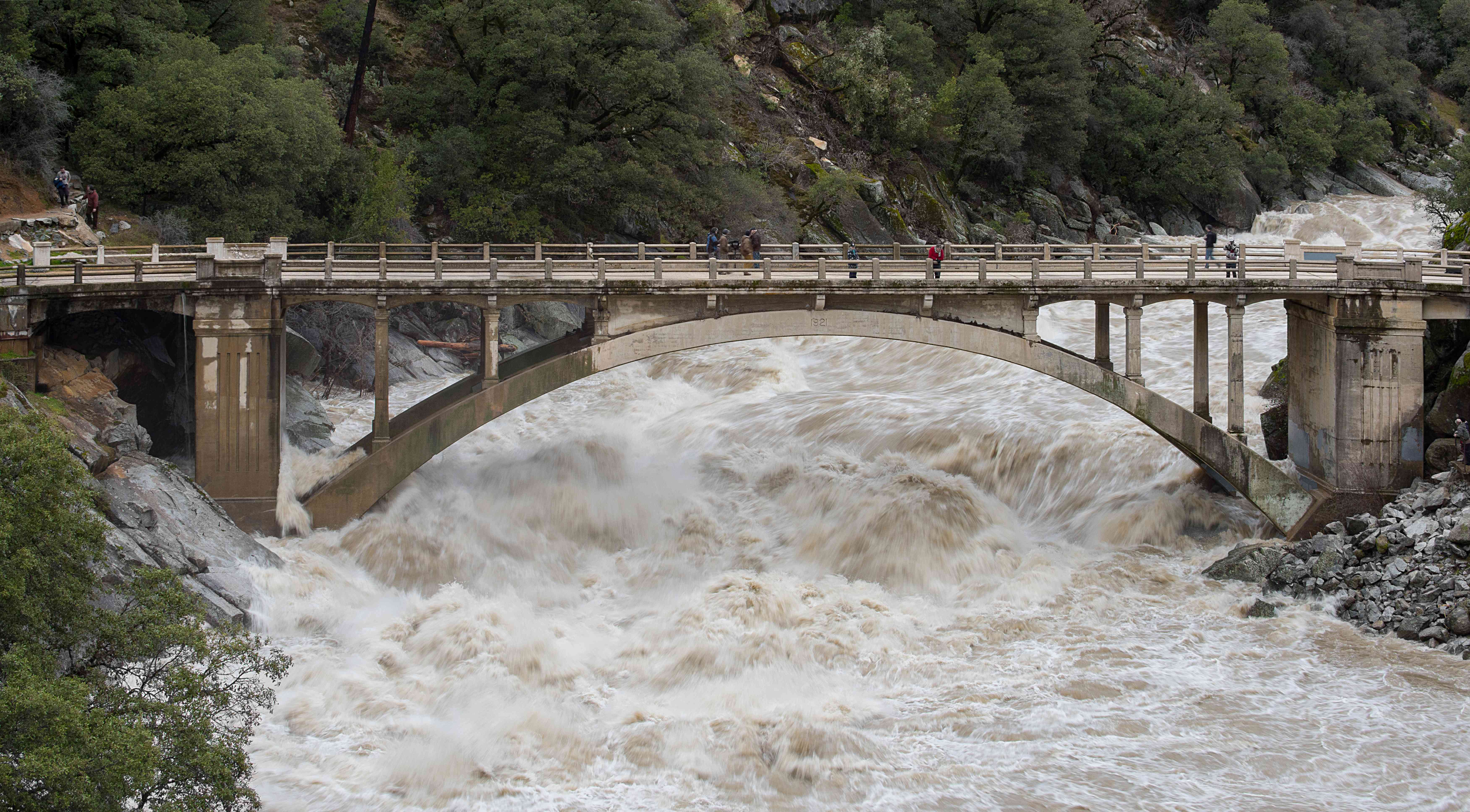
March 2025 brought a wake-up call for California. A Journal of Climate study that month confirmed what locals feared: atmospheric rivers targeting the Golden State are not only more frequent, they’re also much larger and wetter. These storms are sticking around longer, too, sometimes lingering for days and triggering chain reactions of floods, mudslides, and debris flows. Emergency crews have scrambled to keep up, and communities in both Northern and Southern California have seen historic rainfall totals. The economic and emotional toll has been real, with families forced to evacuate and entire neighborhoods left under water. For Californians, atmospheric rivers have become the new face of extreme weather.
Forecasting Breakthroughs: Saving Money and Lives
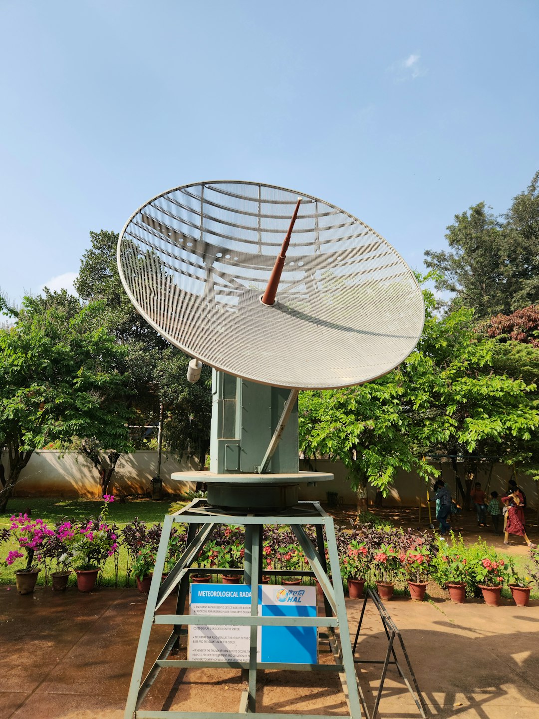
There’s some good news in all this chaos. The AR Recon program—an ambitious effort to track and predict atmospheric rivers—delivered major wins in early 2025. Thanks to better data, reservoir managers were able to make smarter calls, saving millions in operational costs while protecting communities downstream. Improved forecasting means more warning time for cities and emergency planners, allowing for better preparation and fewer surprises. These advances didn’t happen overnight; they’re the result of years of research, new drone and balloon tech, and international collaboration. In a world where every drop—and dollar—counts, forecasting just became a frontline defense.
Heat on the Move: Not Just Rain, But Warmth
A new twist in the atmospheric river story is their hidden role in heat transfer. Yale researchers recently discovered that these sky-rivers don’t just carry water—they haul massive amounts of heat, too. When an atmospheric river makes landfall, it can actually raise ground temperatures, sometimes enough to tip the scales toward a heat wave. This connection is helping meteorologists better anticipate combined heat and wet-weather events, which can stress infrastructure and public health systems. The idea of a rainstorm acting as a delivery truck for warmth is both fascinating and a little unsettling. For cities already struggling with rising temperatures, this heat bonus is another layer of risk.
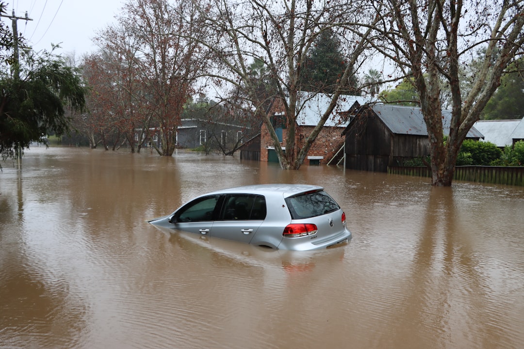
British Columbia’s Costly Deluge
In October 2024, British Columbia faced the full wrath of an atmospheric river. The result was catastrophic: more than $110 million in damages, four tragic deaths, and a landscape scarred by mudslides and washed-out roads. Communities were caught off guard as rivers rose and hillsides gave way. The floodwaters swallowed fields and highways, leaving behind a trail of destruction that took months to repair. For many Canadians, this storm shattered the illusion that such disasters are “once in a century”—they now feel all too common. The memory of this event lingers, a reminder that atmospheric rivers don’t respect borders or calendars.
Bomb Cyclones: When Rivers and Wind Collide
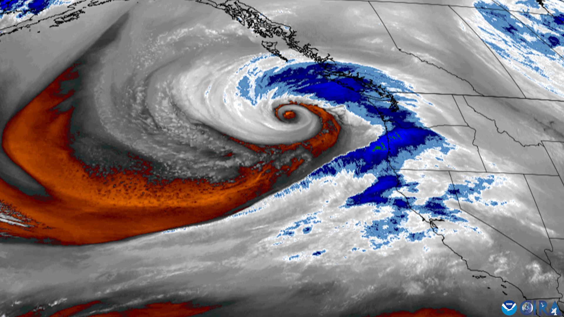
Sometimes, atmospheric rivers don’t come alone—they team up with other weather monsters. In November 2024, a so-called “bomb cyclone” collided with an atmospheric river over Northern California, unleashing up to 20 inches of rain in just a couple of days. The power went out for thousands, flood watches blanketed the region, and streets turned into rivers themselves. This kind of tag-team storm is becoming more common, according to climate experts. The combination of intense wind and extreme rainfall is especially dangerous, overwhelming drainage systems and leaving communities vulnerable to landslides and blackouts. It’s the meteorological equivalent of a one-two punch.
Caribbean Surprises: ARs Head East
May 2025 brought an unexpected twist for Florida and the Southeast. An atmospheric river, traced all the way from the Caribbean, drenched the region with up to 10 inches of rain in just a few days. Streets in Miami and Tampa became lakes, and rare flash flood alerts echoed across the region. For many residents, this was their first brush with an atmospheric river event of this magnitude. The storm’s origins shocked forecasters, who are now revisiting models to better predict when and where these eastbound rivers might strike next. The message is clear: atmospheric rivers aren’t just a West Coast problem anymore.
Snowpacks at Risk: More Rain, Less Snow
One of the most worrying effects of intensifying atmospheric rivers is their impact on mountain snowpacks, especially in places like the Sierra Nevada. Studies now show that what used to fall as snow is increasingly arriving as rain. This shift threatens water storage for entire regions, as snowpacks are natural reservoirs that release water slowly through spring and summer. Without them, rivers run dry sooner, and drought risk increases. Ski resorts, farmers, and city planners are all feeling the pinch. The future of water in the West could hinge on how these sky-rivers behave—and whether communities can adapt.
Where Will They Strike Next?
The map of atmospheric river hotspots keeps changing. While California and the Pacific Northwest remain prime targets, British Columbia, the Southeast United States, and even inland mountain regions are now seeing more frequent and intense impacts. Experts warn that preparedness is key—communities that invest in forecasting, infrastructure, and emergency management will fare better. As these rivers in the sky keep growing, so does the urgency for action. The next strike could be anywhere, and the only certainty is that the storms will keep coming, bigger and wetter than before.
- How Meteorologists Predict Storms Using Satellite Data - October 3, 2025
- What Causes Rainbows And Why They’re Always Curved - October 1, 2025
- 3 Industries Face Crushing New Tariffs as Trade War Escalates - September 28, 2025