


- 10 Widely Believed Facts About Space That Scientists Say Are Wrong - October 8, 2026
- Death Valley and 4 Other Places That Hold Earth’s Heat Records - October 8, 2026
- 9 Places Many People Don’t Realize Are Technically Deserts, Including Antarctica - October 8, 2026
The forgotten belt with a name few outsiders know
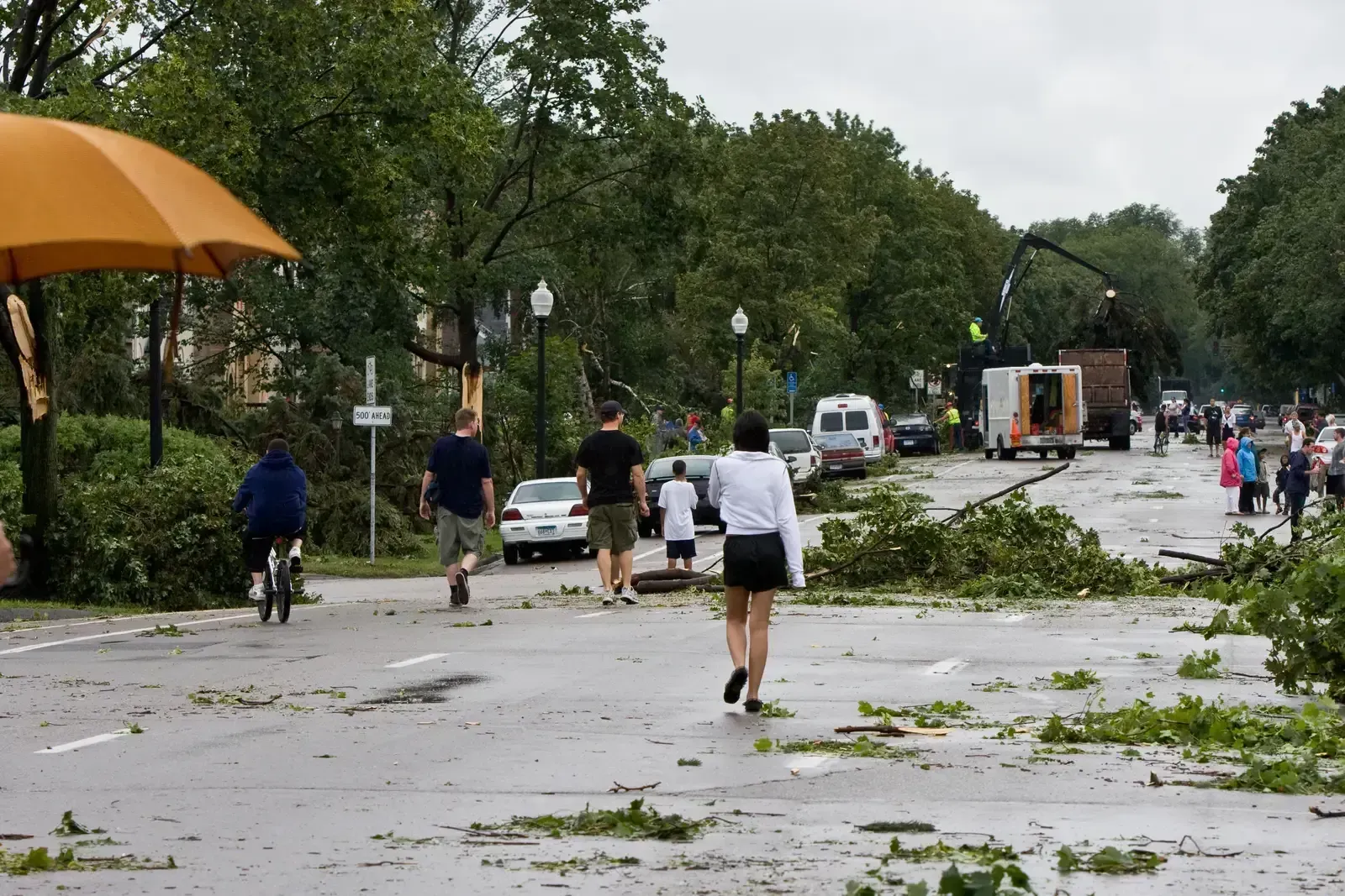
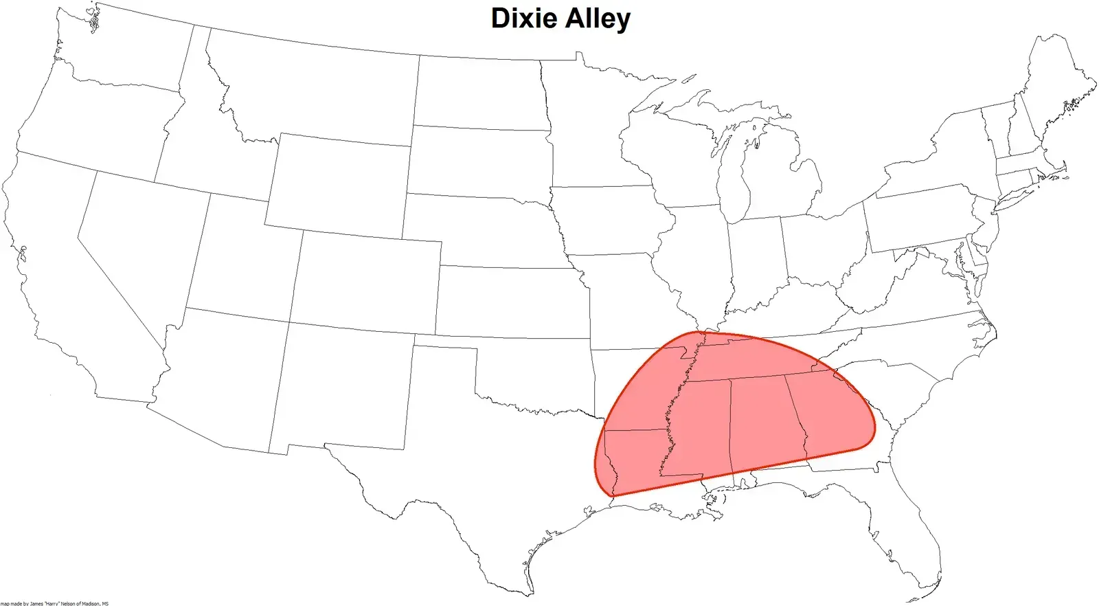
Meteorologists call it Dixie Alley, a term first used in 1971 by Allen Pearson, then director of the National Severe Storms Forecast Center, the predecessor to today’s NOAA Storm Prediction Center. He wasn’t naming a tourist attraction. He was flagging a pattern, since the region produces fewer total tornadoes than Tornado Alley but consistently higher death tolls.
The core states are Mississippi, Alabama, Arkansas, Louisiana, and Tennessee, with the footprint stretching into parts of Georgia, Kentucky, southeastern Missouri, upstate South Carolina, and western North Carolina. It never got official recognition from the National Weather Service, and it still doesn’t have hard boundaries on any government map. That lack of an official label may be part of why so few people outside the region take the threat seriously.
Why the death toll runs higher per storm
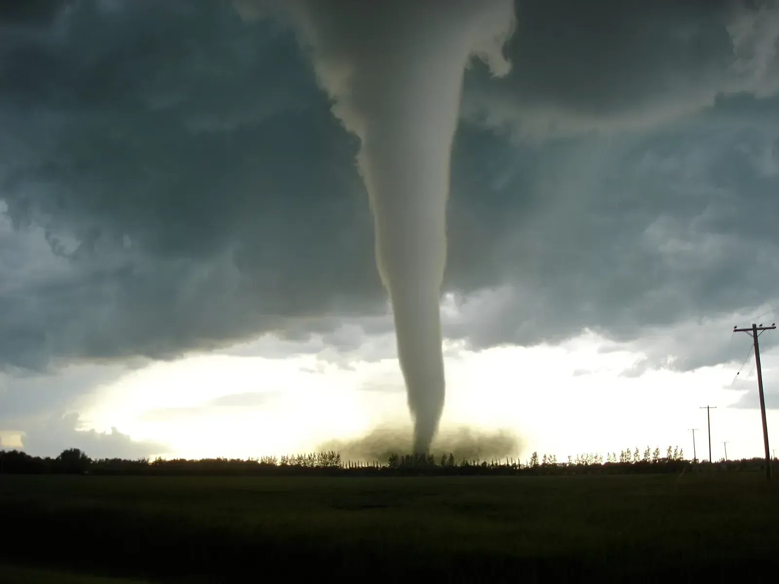
The plain fact is that a tornado hitting this stretch of the South is statistically more likely to kill someone than a similar tornado touching down on the open Plains. Both produce comparable annual tornado counts, but Dixie Alley tornadoes are deadlier per capita because they happen more often at night, in more wooded terrain, and over communities with higher percentages of mobile homes. It’s a combination of bad luck in geography and vulnerability in housing.
Researchers have tried to pin down the exact mix of factors for years. Dixie Alley produces fewer total tornadoes than Tornado Alley but more tornado deaths because of nighttime occurrence, high mobile-home density, tree cover that hides approaching storms, rain-wrapped tornadoes, a longer season, and weaker shelter infrastructure across the region. None of those factors alone explains the gap, but stacked together they turn an otherwise survivable storm into a fatal one.
Storms that strike while people are asleep
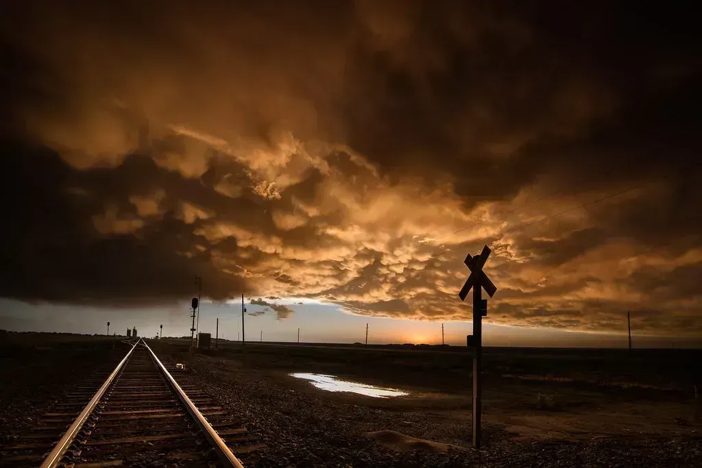
Timing turns out to matter as much as strength. Tornadoes that strike after dark are roughly 2.5 times more likely to kill people than daytime tornadoes, because most residents are asleep and weather alerts have to wake them. A siren means little if nobody hears it over an air conditioner or a closed bedroom door.
The Gulf of Mexico is largely to blame for keeping the danger alive well past sunset. The Gulf of Mexico keeps the air over Dixie Alley unstable long after sunset, which is why Tennessee, Arkansas, Alabama, and Mississippi all see a majority of their tornado deaths at night, with Tennessee the worst offender at over 73 percent. That single statistic sets Tennessee apart from every other state in the country when it comes to nighttime tornado risk.
Mobile homes carry a disproportionate share of the risk
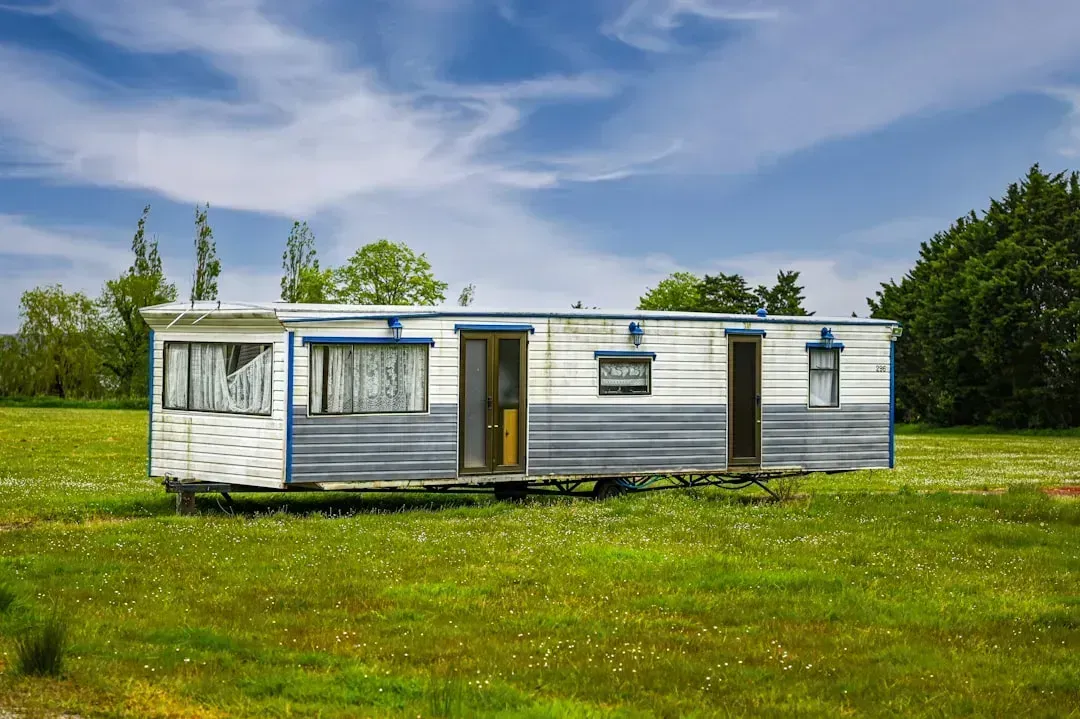
Housing stock is where the danger becomes almost mathematical. A tornado that hits a manufactured home produces 15 to 20 times the death risk of one that hits a stick-built house, and Dixie Alley has the highest concentration of manufactured housing in the country. Even a modest EF1 or EF2 tornado, the kind that might just rattle windows in a well-built house, can flatten a mobile home entirely.
The scale of that exposure is striking once you look at the numbers behind it. Mobile homes account for only about 8 to 12 percent of housing stock in the region but generate 53 percent of tornado deaths in homes. State by state, the mismatch grows even sharper, since Mississippi sits at about 15 percent, South Carolina at 14.2, and Louisiana at 12.6, all above the US average for manufactured housing share.
A landscape that hides the danger until it’s close
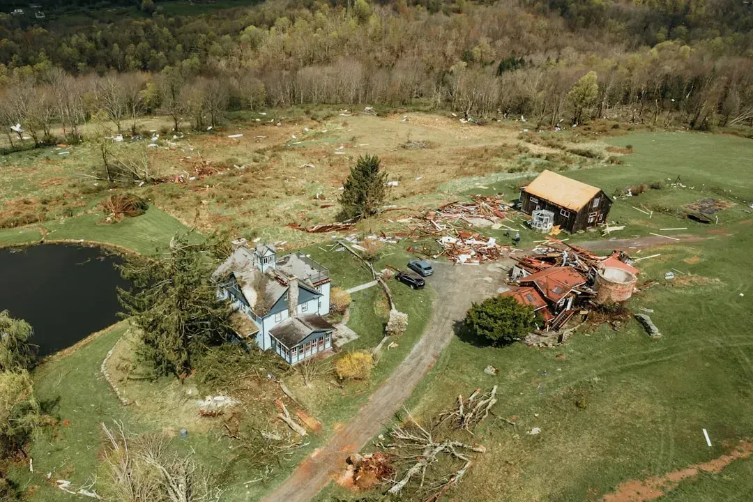
Open Plains terrain has one real safety advantage: you can often see trouble coming from miles away. The central Great Plains, which make up the original Tornado Alley, is relatively flat and open, making it easier for people to find shelter from a tornado, and in some areas a tornado can be spotted many miles away. That visual warning buys precious minutes.
Dixie Alley offers no such luxury. Heavy tree cover and rolling terrain mean tornadoes in the Plains are often visible miles away, while in the wooded Southeast, you may not see one until it’s right on top of you, and spotter and chaser networks also have a harder time tracking storms visually. Rain adds another layer of concealment on top of the trees and hills, since storms in the region are frequently wrapped in heavy precipitation that swallows the funnel from view entirely.
A two season threat that never fully lets up
Tornado Alley has a fairly predictable rhythm, with activity concentrated in the late spring months. Dixie Alley refuses to follow that script. Dixie Alley has a bimodal tornado season, with a primary peak running from February through mid-April and a secondary peak in November and December that does not occur anywhere else in the US, driven by faster cool-season jet-stream winds and persistent Gulf moisture.
That autumn and early winter surge catches people off guard because it falls outside the season most residents mentally associate with severe weather. Communities that spent all spring watching the sky often let their guard down by Thanksgiving, right when a second wave of storms is capable of forming. It is one more reason preparedness campaigns built around a single spring peak fall short in this part of the country.
Mississippi and Alabama carry an outsized share of the activity
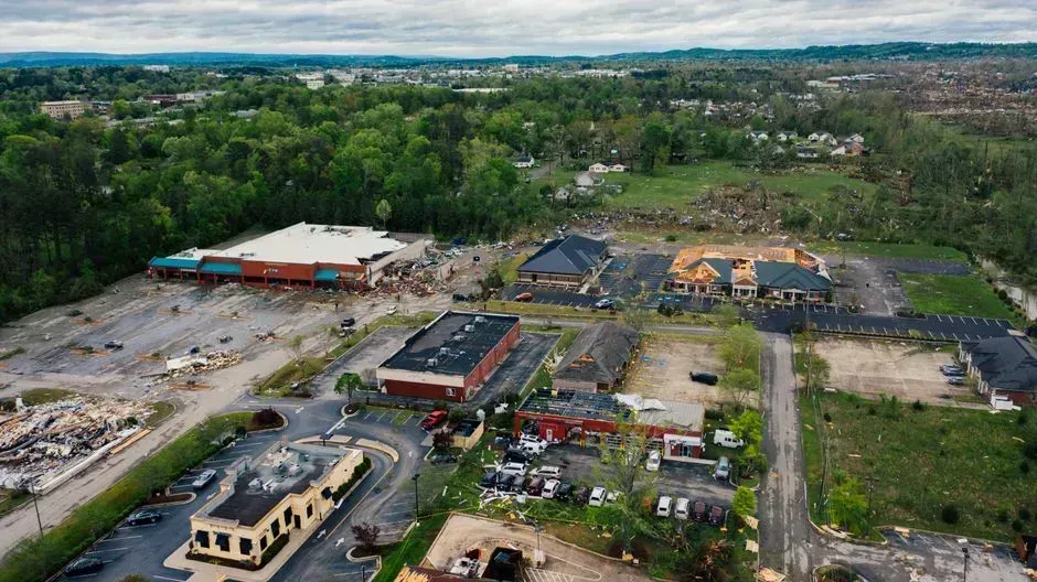
Within Dixie Alley, some states see far more tornado activity than others, and the numbers are not close. Mississippi averages roughly 115 tornadoes a year, the highest in Dixie Alley and well above the national state average of about 24, while Alabama follows at about 90 a year. That puts Mississippi’s frequency on par with, or above, several states inside the traditional Tornado Alley footprint.
Fatality data tells a similar story about which states bear the heaviest human cost. Alabama and Mississippi, in particular, often rank at the top for tornado-related deaths nationwide. Both states also sit squarely in the path of Gulf moisture, which fuels the high-precipitation supercells that define the region’s storms.
The 2011 Super Outbreak remains the grim benchmark
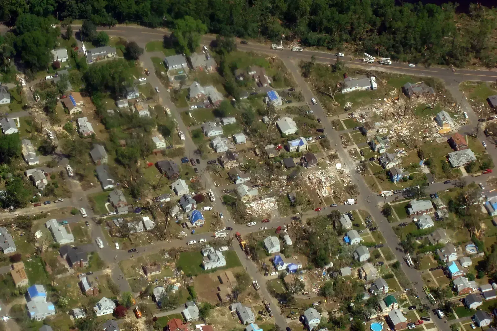
No single event illustrates the region’s vulnerability better than the outbreak of late April 2011. The 2011 Super Outbreak produced 368 tornadoes, four EF5s, 348 deaths, and $10.2 billion in damage. Towns across Alabama, Mississippi, and Georgia were hit within the same 24 hour window, overwhelming emergency crews before they could even finish assessing one community.
Coverage from that week captured just how fast the death toll climbed as storm after storm rolled through. Nearly 100 reported tornadoes may have claimed another 100 lives in Dixie Alley that night, a historic tornado outbreak in what became a record breaking month for twisters. It stands as the clearest modern example of why the region earned its grim reputation in the first place.
The activity appears to be shifting east, not just holding steady
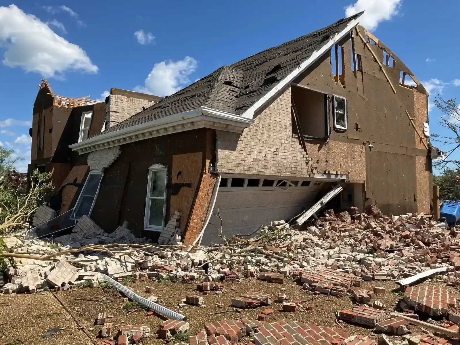
Perhaps the most unsettling part of the Dixie Alley story is that it may be getting worse relative to the traditional Plains corridor, not staying the same. Recent research shows tornado activity has been shifting east-southeast since 1979, meaning Dixie Alley is becoming more active relative to the Plains. That is not a minor technical footnote, since it suggests the population centers least prepared for tornadoes are the ones seeing more of them.
The scale of that shift, once you see it mapped over decades, is hard to dismiss as noise. Peer-reviewed research from Northern Illinois University documents a 400 to 500 mile eastward shift in tornado activity over the past forty years. Scientists still debate the underlying cause, pointing to possible changes in Plains soil moisture, shifting jet stream patterns, and movement of the Bermuda High, but the directional trend itself shows up consistently across multiple studies.
Housing vulnerability is only growing, not shrinking
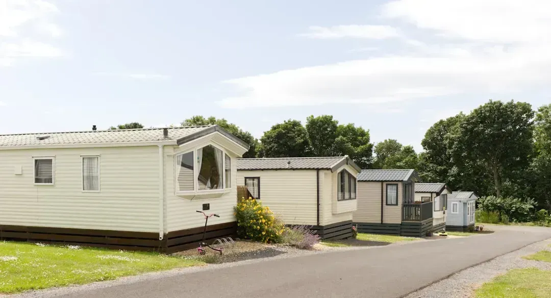
None of this would matter as much if fewer people lived in vulnerable housing, but the trend is running in the opposite direction. According to a report by the Manufactured Housing Institute, at least 22 million Americans now live in mobile homes, and due to the ongoing affordable housing crisis, this number is projected to grow. Rising home prices across the Southeast are pushing more families toward manufactured housing precisely in the states where that choice carries the highest tornado risk.
There is also a quieter, less discussed problem tied to recovery after disaster strikes. Even when these residents survive a storm, their mobile homes are often wrecked, and at this moment of maximum vulnerability, some may not be able to receive federal aid for reconstruction, for lack of a way to prove their home ownership. That gap in the recovery system compounds the initial danger, leaving already strained families with fewer resources to rebuild safely.
Warning systems built for the Plains don’t always translate
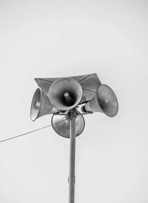
Much of the country’s tornado safety messaging, from siren tests to school drills, was designed with the open, visible storms of the Great Plains in mind. That approach runs into trouble in a region where storms are wrapped in rain and arrive after dark. This reality has led many families to reconsider how they prepare for severe weather, since tornado safety strategies developed for the Midwest do not always translate well to Dixie Alley.
Radar technology has closed some of that gap over the past two decades, though it hasn’t eliminated it. A comparative analysis of tornado warnings before and after NEXRAD implementation showed the false alarm ratio decreasing from 0.60 to 0.49 nationwide, an improvement that has been integrated into mobile applications such as the FEMA App and Wireless Emergency Alerts to enable real time notifications tailored for nighttime events in areas with high mobile home concentrations. Better alerts help, but they still depend on someone being awake enough to act on them.
