


- Why Scientists Track Atmospheric Carbon With Giant Towers - October 7, 2025
- The Link Between Melting Ice and Rising Sea Levels Explained - October 6, 2025
- How Ocean Currents Help Regulate Global Climate - October 5, 2025
Understanding Permafrost
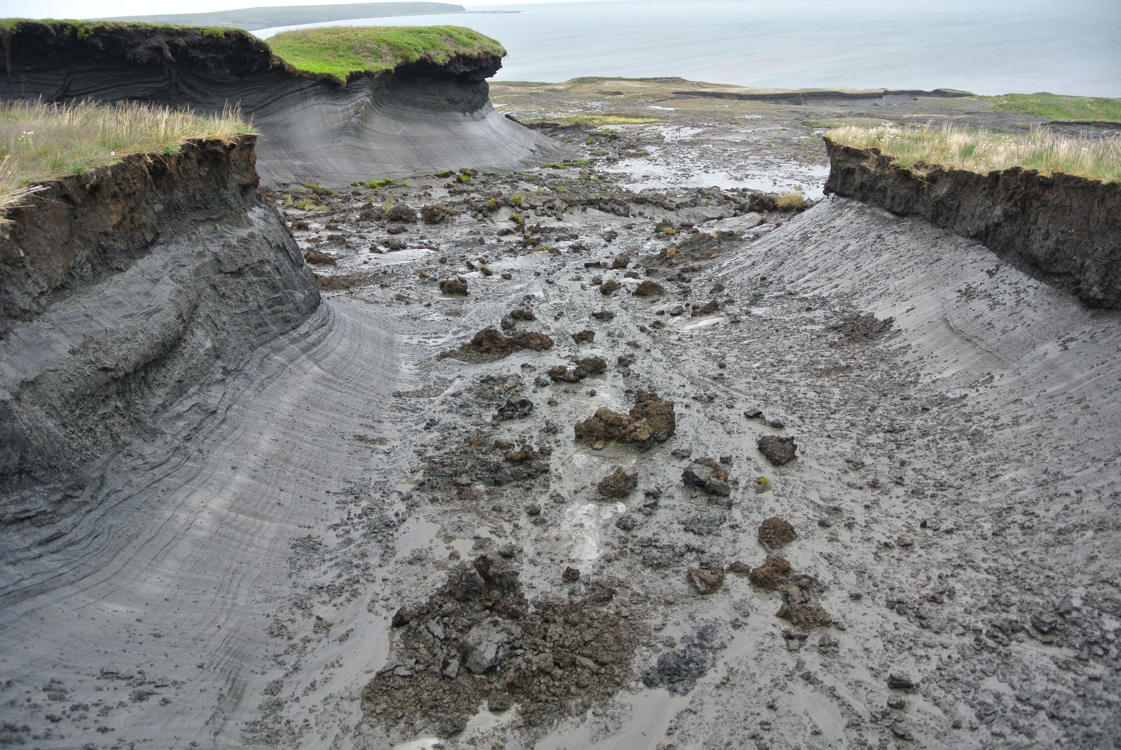
Permafrost is a fascinating yet concerning part of our planet. It refers to ground that remains frozen for at least two consecutive years and is typically found in polar regions and high mountain areas. This frozen ground is not just a silent observer of the Earth’s climate; it actively influences it. Permafrost holds approximately 1,500 billion tons of carbon, which is more than double the carbon currently in the atmosphere. This makes it a crucial component of the global carbon cycle. As global temperatures rise, the permafrost begins to thaw, releasing greenhouse gases like carbon dioxide and methane. This release further accelerates climate change, creating a vicious cycle that poses significant risks to our planet.
The Role of Satellite Observations
Satellite technology has truly transformed our understanding of permafrost. Instruments such as the European Space Agency’s Sentinel-1 and NASA’s ICESat-2 are at the forefront of this revolution. They provide high-resolution data that allow scientists to observe changes in permafrost over vast and often inaccessible areas. This is something that ground-based measurements struggle to achieve. Satellite data can help identify patterns of thawing and pinpoint regions where carbon release is most intense. This bird’s-eye view is invaluable for researchers trying to understand the complex dynamics of permafrost.
Measuring Thaw Depth
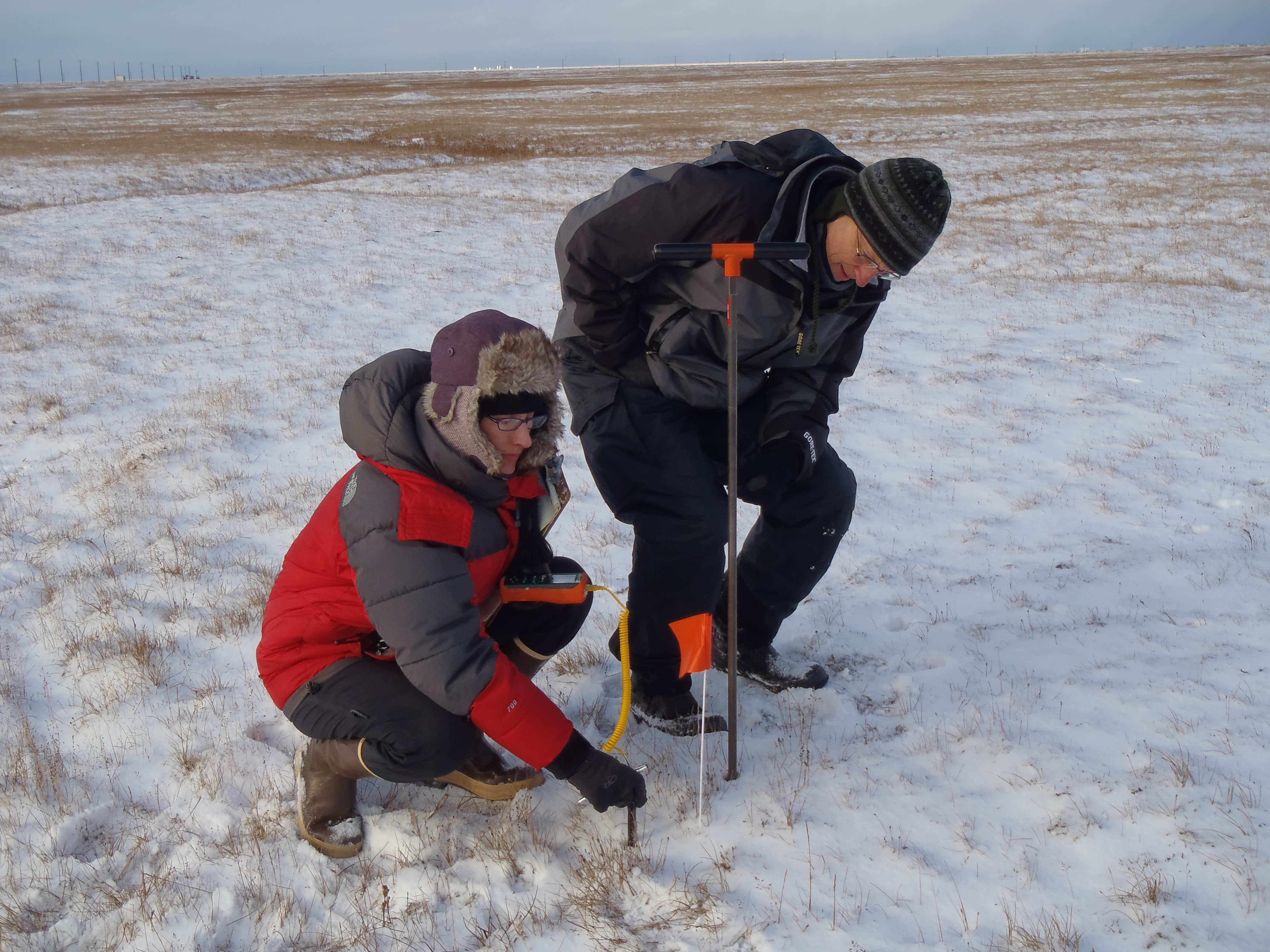
One of the most critical aspects of studying permafrost is measuring how deep the thaw extends. Satellite radar interferometry is a powerful tool in this regard. It can detect subtle changes in the Earth’s surface, allowing scientists to estimate thaw depth accurately. Recent studies have shown that in some areas, the thaw depth has increased by more than a meter over the past few decades. This information is crucial for predicting the potential release of carbon and understanding its impact on local ecosystems. Knowing thaw depth helps scientists gauge the extent of permafrost degradation and its implications.
Monitoring Greenhouse Gas Emissions
Tracking greenhouse gas emissions from thawing permafrost is another critical area where satellites play a pivotal role. The Global Monitoring Laboratory, for instance, uses satellite data to track methane emissions, which can surge dramatically as permafrost thaws. Research suggests that methane emissions from permafrost could increase by 30% by 2050 if current warming trends persist. This information is crucial for climate models that aim to predict future warming scenarios. It helps scientists and policymakers understand the potential trajectory of climate change and develop strategies to mitigate its impacts.
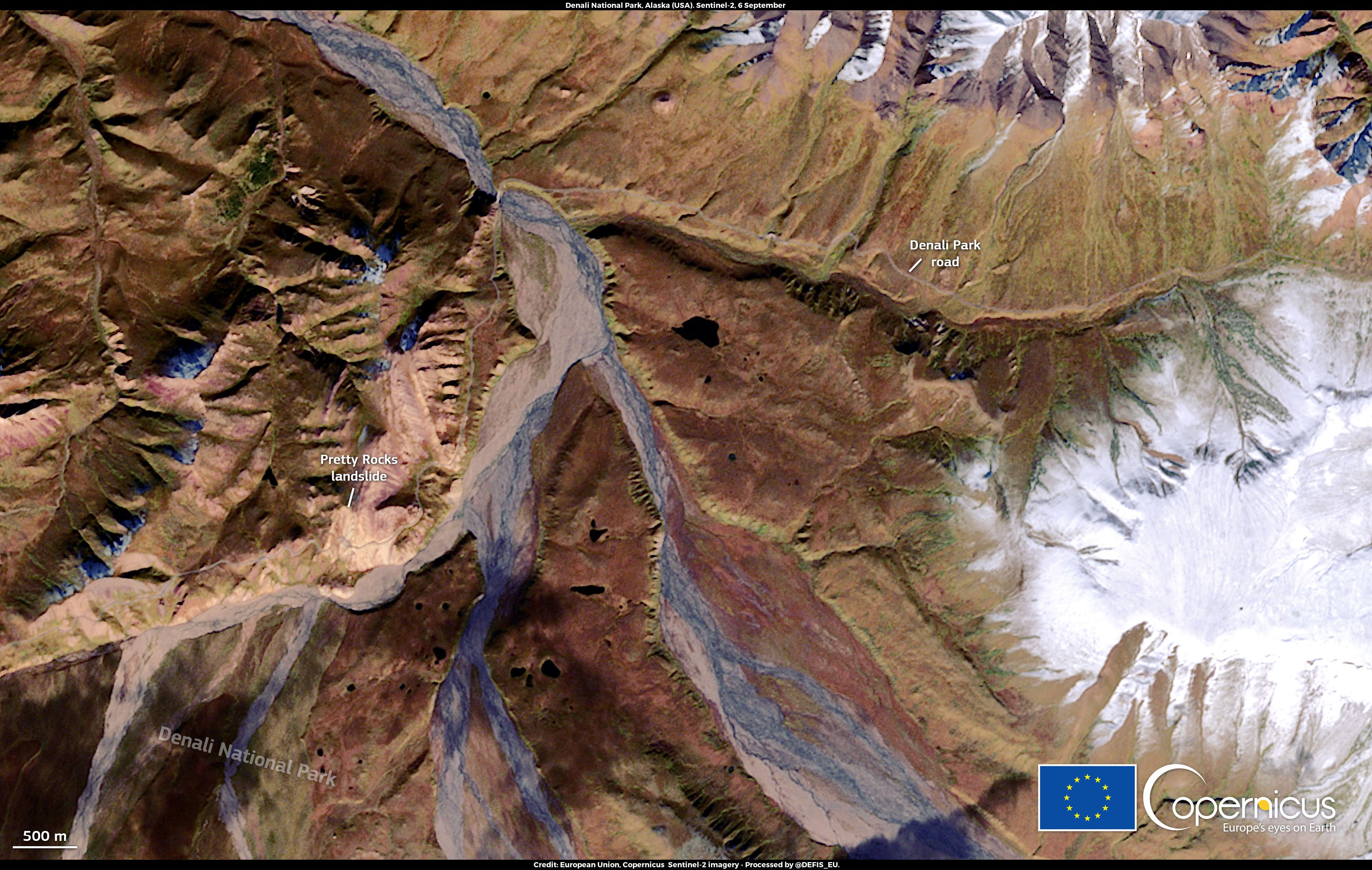
Impact on Infrastructure
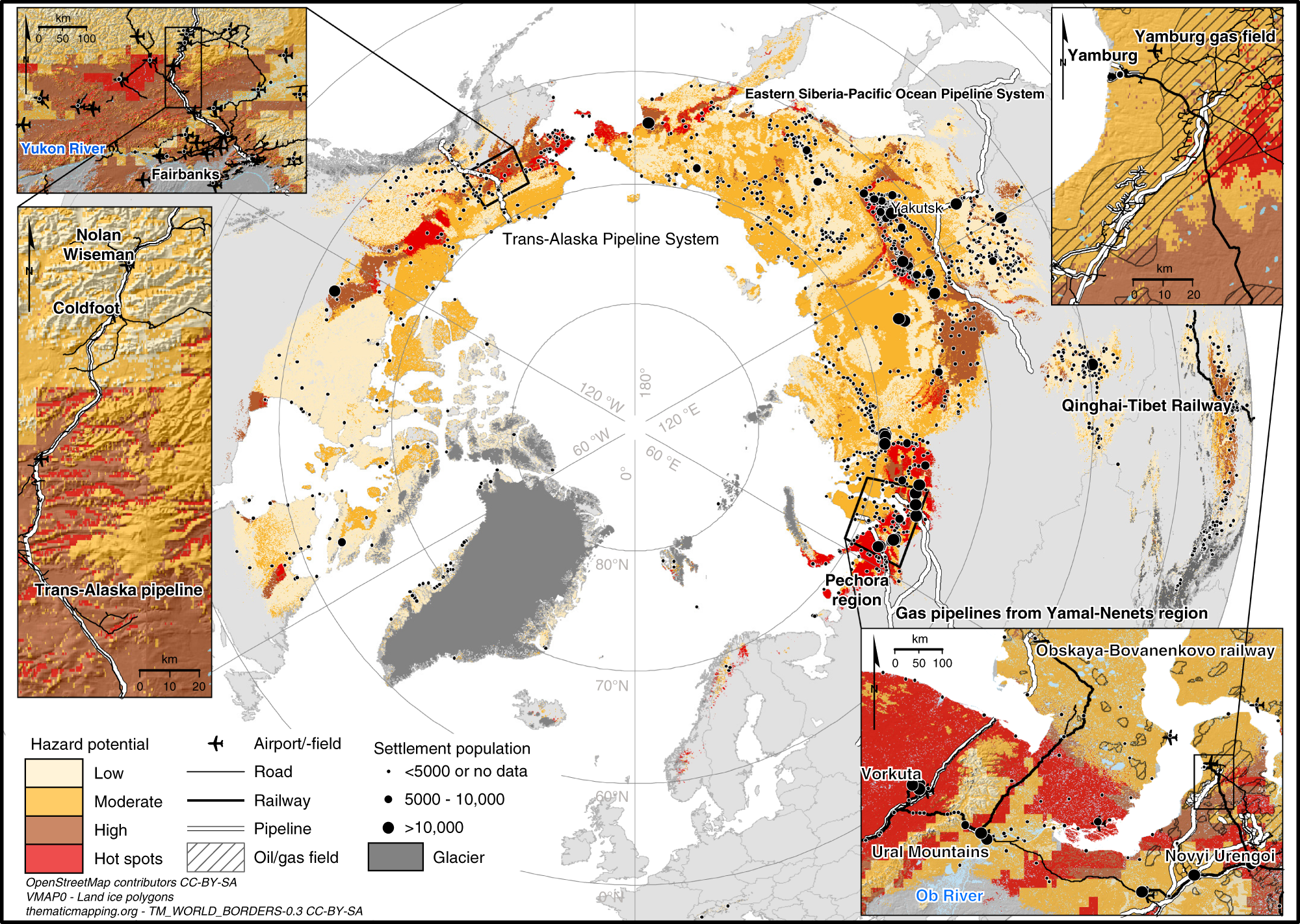
Thawing permafrost poses significant challenges for infrastructure in Arctic regions. Roads, buildings, and pipelines constructed on permafrost are at risk as the ground becomes unstable. Satellite imagery is invaluable for assessing the condition of these structures and predicting areas at risk of failure. For instance, the Alaska Department of Transportation relies on satellite data to monitor changes in road conditions, ensuring safety for travelers. This data-driven approach helps authorities take proactive measures to protect infrastructure and minimize disruptions.
Ecosystem Changes
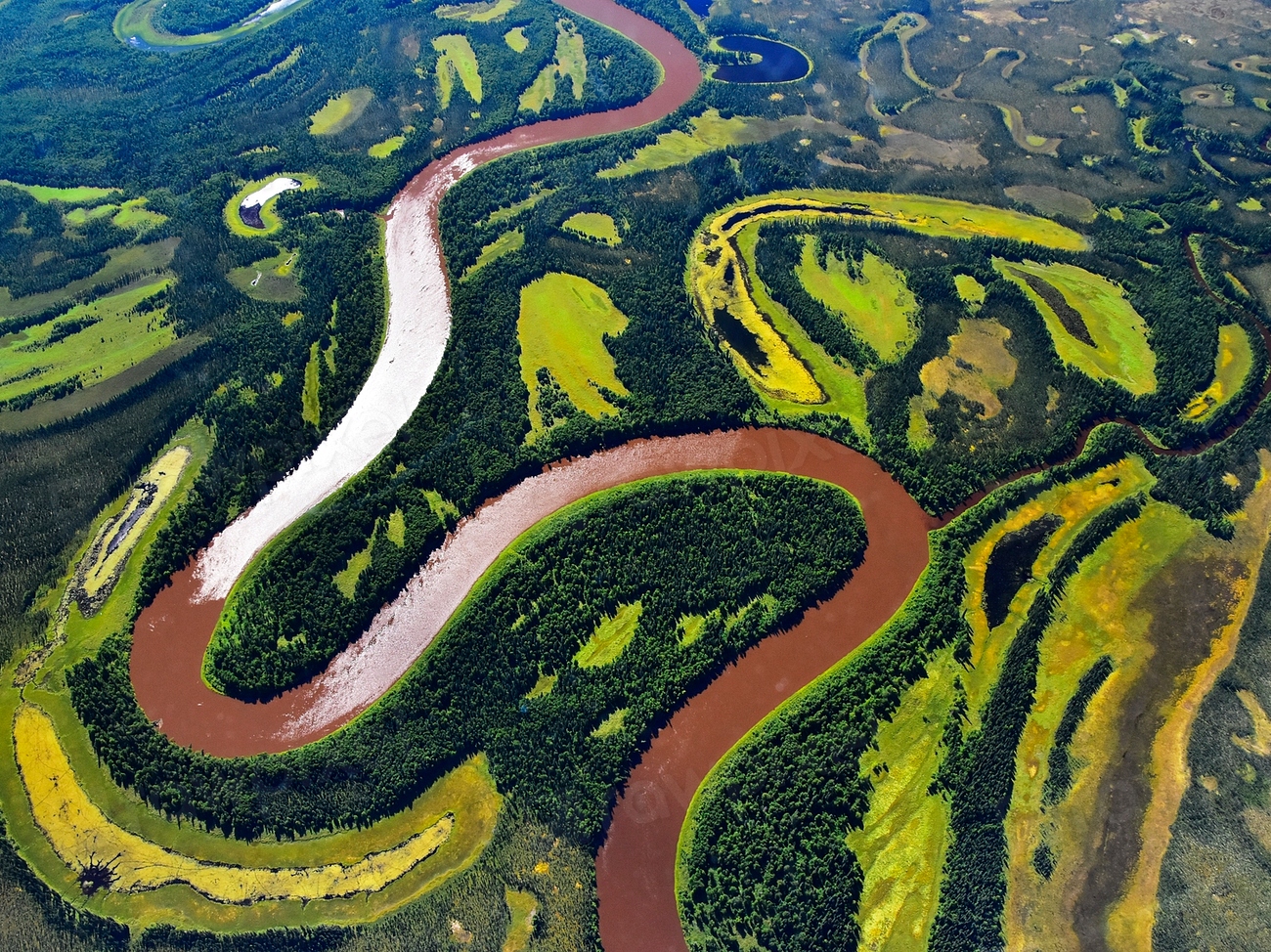
The thawing of permafrost has profound effects on local ecosystems. As the ground thaws, it alters vegetation patterns and wildlife habitats. Satellite observations help track these changes over time, providing valuable data for conservation efforts. Researchers have observed shifts in plant communities in response to thawing, impacting herbivore populations and overall biodiversity. This information is crucial for understanding how ecosystems are adapting to climate change. It also aids in developing strategies to protect vulnerable species and maintain ecological balance.
Indigenous Communities and Traditional Knowledge

Indigenous communities in the Arctic have long observed the effects of permafrost thawing on their environment. Their traditional knowledge is invaluable and complements satellite data, providing a more comprehensive understanding of changes occurring in these regions. Collaborative efforts between scientists and Indigenous peoples can lead to better management strategies for adapting to climate change impacts. By integrating traditional knowledge with scientific data, we can develop more effective solutions to the challenges posed by permafrost thawing.
Future Research Directions

As technology continues to advance, the capabilities of satellite observations will improve. Future research will focus on integrating satellite data with ground-based measurements to create more accurate models of permafrost dynamics. This integration is essential for predicting future carbon emissions and understanding the broader implications of permafrost thawing on global climate change. The continued development of satellite technology will enhance our ability to monitor and respond to the challenges posed by a warming planet.
Policy Implications
The insights gained from satellite observations of permafrost thawing have significant policy implications. Governments and organizations must consider the risks associated with thawing permafrost when developing climate action plans. Effective policies can help mitigate the impacts of climate change and protect vulnerable communities and ecosystems. By incorporating satellite data into policy decisions, we can make informed choices that safeguard our planet’s future and promote sustainable development.
Conclusion
Satellite observations are a powerful tool for enhancing our understanding of permafrost thawing. By providing critical data on thaw depth, greenhouse gas emissions, and ecosystem changes, satellites help researchers and policymakers address the challenges posed by a warming climate. Continued investment in satellite technology and research is essential for safeguarding our planet’s future.