


- Why Scientists Track Atmospheric Carbon With Giant Towers - October 7, 2025
- The Link Between Melting Ice and Rising Sea Levels Explained - October 6, 2025
- How Ocean Currents Help Regulate Global Climate - October 5, 2025
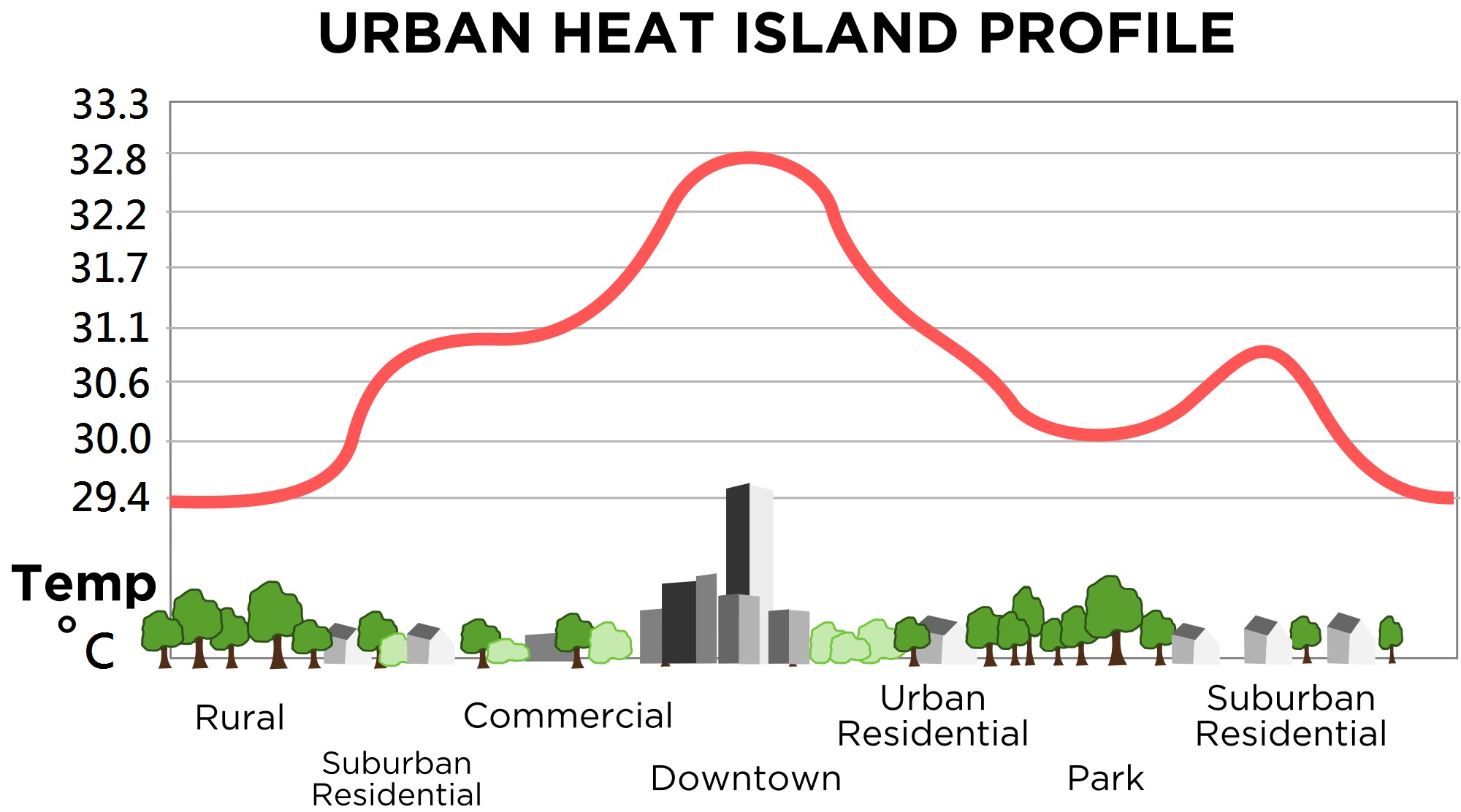
The Urban Heat Island Effect Transforms Temperature Zones

Cities are essentially massive heat generators, creating distinct temperature zones that can differ dramatically from surrounding rural areas. Research shows that urban areas experience daytime temperatures about 1–7°F higher than outlying areas and nighttime temperatures about 2–5°F higher. This phenomenon occurs because structures such as buildings, roads, and other infrastructure absorb and re-emit the sun’s heat more than natural landscapes such as forests and water bodies.
The heat island effect becomes more pronounced at night when absorbed heat radiates back into the atmosphere. Often, heat islands build throughout the day and become more pronounced after sunset due to the slow release of heat from urban materials. On a warm day, conventional roofing materials may reach as much as 66°F warmer than the surrounding air temperatures.
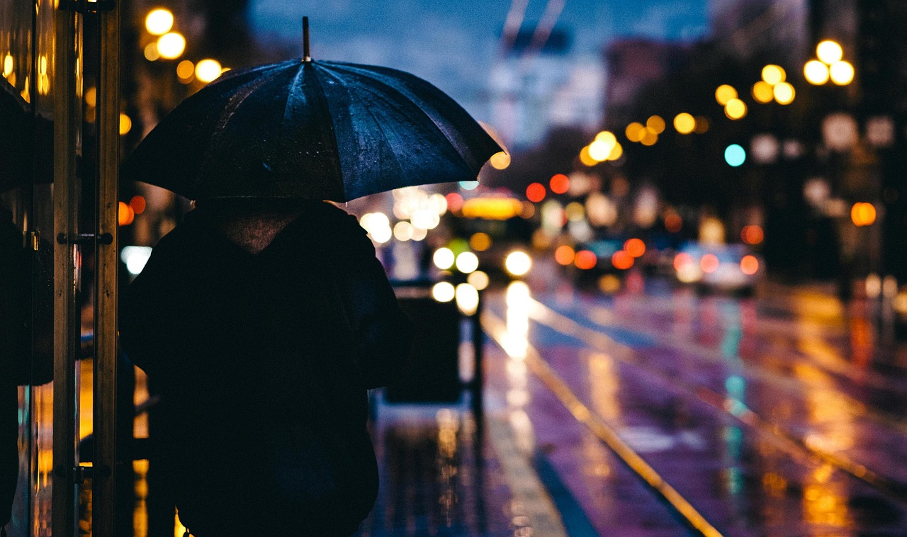
Cities Generate More Rainfall Than Rural Areas
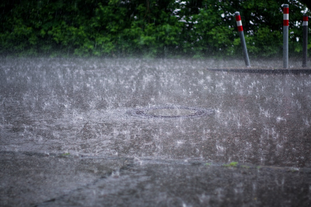
Urban environments don’t just create heat – they actually manufacture their own precipitation patterns too. Researchers looked for evidence of precipitation anomalies in 1,056 cities across the globe and found that more than 60% of those cities receive more precipitation than their surrounding rural areas. The process happens because increased heat and pollution create perfect conditions for cloud formation and condensation.
Rainfall rates downwind of cities are typically increased between 5% and 25%. Partly as a result of this warming, monthly rainfall can be about 10-15% greater downwind of cities compared with upwind. Some studies show total precipitation increases of up to 25%. This happens because the extra heat provided by the UHI leads to greater upward motion, which can induce additional shower and thunderstorm activity.
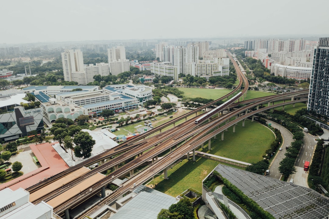
Wind Patterns Get Channeled Through Urban Corridors
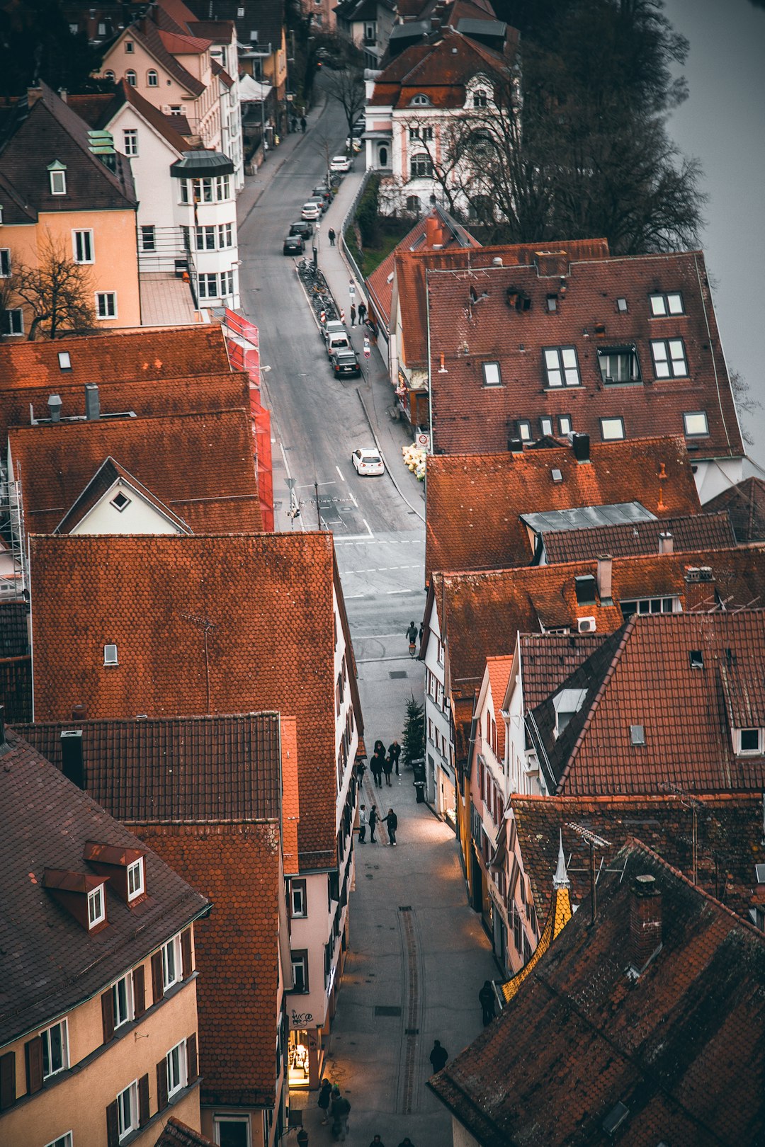
The maze of buildings in cities creates complex wind patterns that can make downtown areas feel like wind tunnels. For the same mass of air to pass through a narrower space, the velocity must increase. At the same time, the increased kinetic energy resulting from the increased velocity must be offset by a decrease in static pressure. This creates what engineers call the Venturi effect.
Channeling (also known as Venturi) effect happens when buildings are located in close proximity to one another. The effect is perpetuated by a reduction of wind pressure, resulting in wind acceleration through the tight channel created between the buildings. High wind microclimates are created when buildings are built on a grid which creates wind tunnels where winds can pick up speed. Chicago’s grid system does create wind tunnel effects, though the city’s “Windy City” nickname actually originated from its boastful politicians rather than its weather patterns.
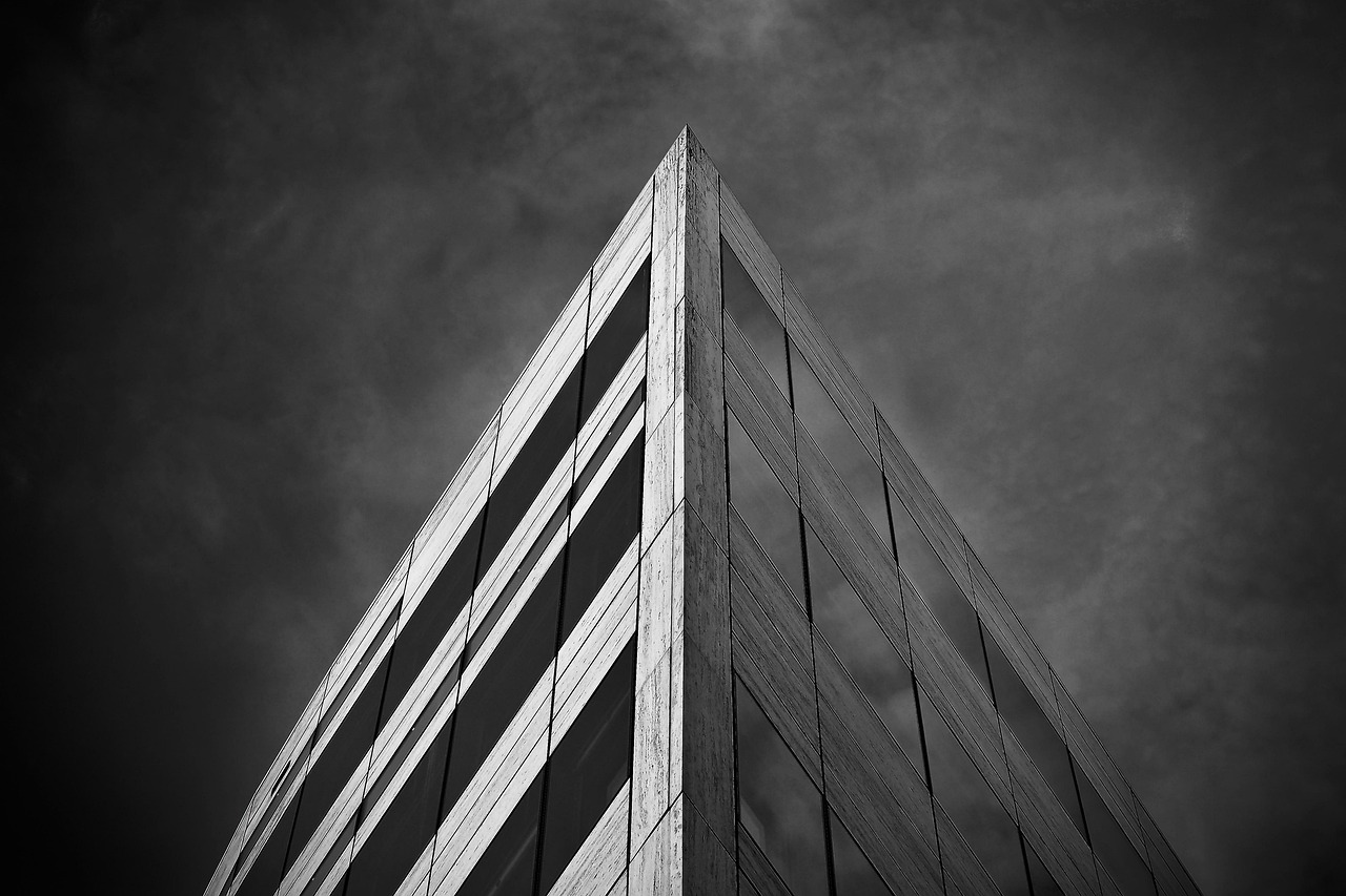
Buildings Create Their Own Pressure Systems
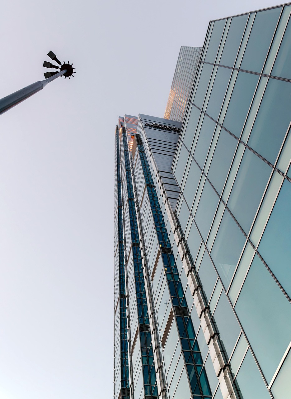
Tall buildings act like giant obstacles that redirect air flow in fascinating ways. The downwash effect happens when there is a tall building surrounded by lower buildings. The tall building captures the wind at higher levels and then redirects it towards the ground, causing a three-dimensional flow moving downwards. This creates localized pressure differences that can affect weather patterns for blocks around.
The UHI creates during the day a local low pressure area where relatively moist air from its rural surroundings converges, possibly leading to more favorable conditions for cloud formation. The flow motions around tall buildings generate strong dispersive fluxes, which are sometimes of similar magnitude to the turbulent momentum flux and responsible for a persistent isolated roughness flow pattern in the upper canopy.
Corner Effects Amplify Wind Acceleration
The sharp edges and corners of urban buildings create some of the most dramatic wind acceleration effects you’ll experience walking through a city. Corner acceleration describes the scenario in which a wind flow ‘attaches’ to a building, and then separates at the edges – creating high wind activity at the corners. Ever walk alongside a building, turn a corner, and almost get knocked off your feet? Blame corner acceleration.
Corner acceleration happens when the wind reaches the vertical edge of a tall building. This effect is mainly created by sharp building shapes, causing acceleration around the corners. These corners of tall buildings are the regions that can create the highest discomfort in a built environment. Corners can also create vortices, which are swirling patterns of fast-moving air.
Traffic Congestion Intensifies Urban Heat
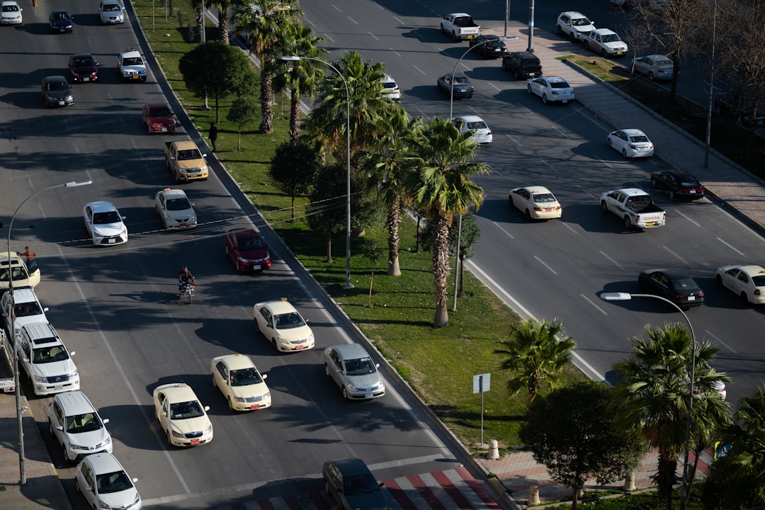
The constant flow of vehicles in cities doesn’t just create air pollution – it directly contributes to localized warming that affects weather patterns. The surface urban heat island effect in Chicago shows a strong diurnal and weekly cycle with the magnitude of SUHII increasing by ∼0.36°C per 10 mph reduction in bus speeds, indicating that traffic congestion directly impacts local temperatures.
Vehicles, air-conditioning units, buildings, and industrial facilities all emit heat into the urban environment. These sources of human-generated, or anthropogenic, waste heat can contribute to heat island effects. Waste heat from vehicles and buildings can raise local temperatures by 3–5°F, playing an important role in contributing to UHI effects even in winter.
Pollution Acts as Cloud Seed Material
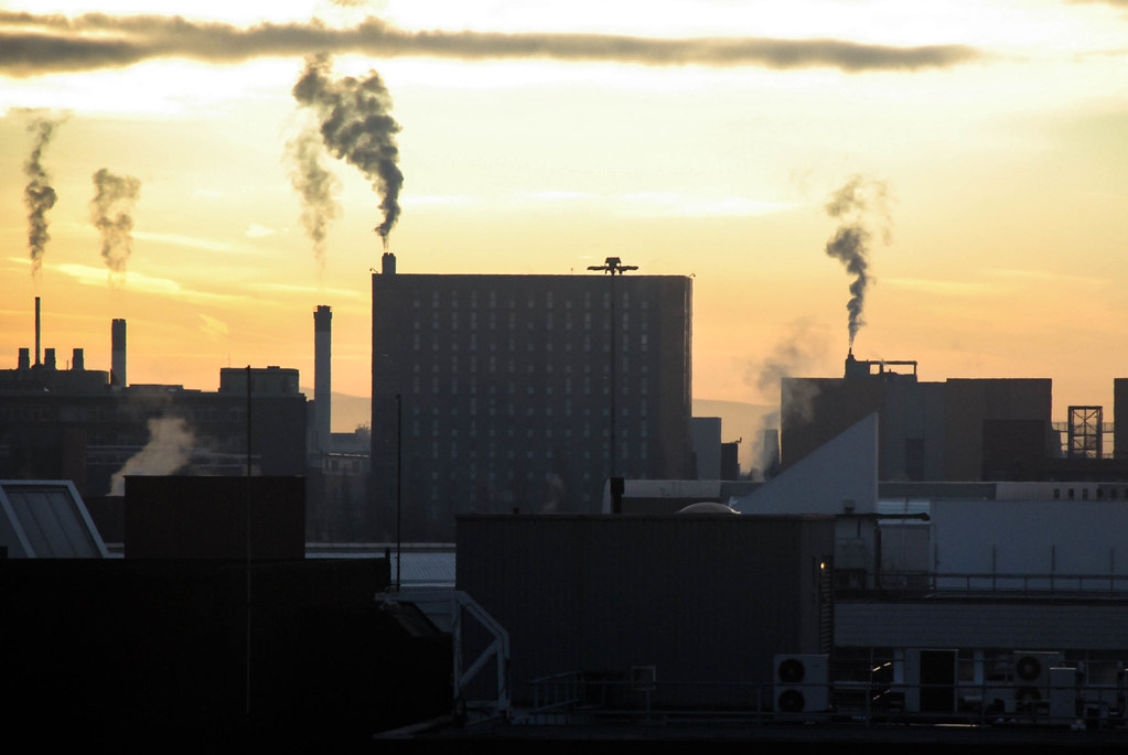
The exhaust and emissions from urban activities create tiny particles that serve as nuclei for cloud formation, essentially turning cities into weather-making machines. Increased pollution and rising heat levels create conditions that encourage cloud formation and precipitation. NASA research has found that urban areas receive 5-15% more rainfall than surrounding rural regions due to increased condensation nuclei from pollution.
High UHI intensity correlates with increased concentrations of air pollutants that gathered at night, which can affect the next day’s air quality. The interaction between heat and pollution creates a feedback loop where more heat leads to more convection, which brings more pollutants higher into the atmosphere where they can influence weather patterns.
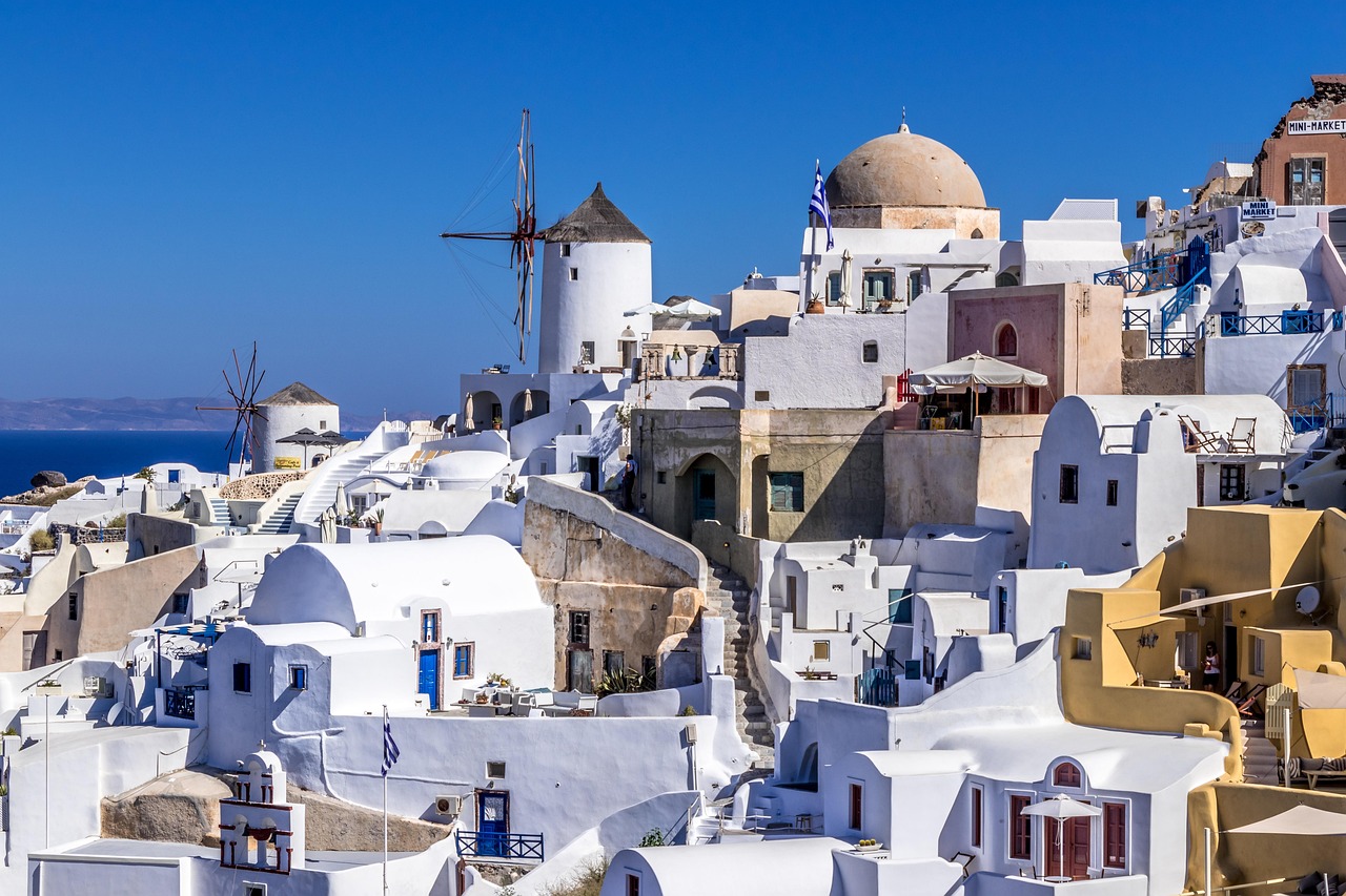
Urban Development Patterns Shape Weather Impact
Not all cities create weather the same way – the specific layout and design of urban development determines how dramatically local weather patterns will be affected. Cities that experience compact development tend to witness more extreme rainfall over downtown than their rural surroundings, while the anomalies in extreme rainfall frequency diminish for cities with dispersed development patterns.
Beyond the anticipated influence of local climate, findings reveal that higher levels of urbanization enhance these urban precipitation anomalies. If the local climate is hotter, if it’s wetter, then it may have a larger rainfall anomaly compared to the cities in cooler and dryer places. The density and arrangement of buildings, roads, and infrastructure determines just how much a city will alter its local climate.
Seasonal Variations Affect Urban Weather Creation
Cities don’t create the same weather patterns year-round – the effects change dramatically with the seasons and local climate conditions. Summer LST initially decreased and then increased from 2013 to 2023, while winter LST consistently increased. During the study, the summer UHI area decreased, whereas the winter UHI area increased.
Studies have shown that diurnal variability is impacted by several factors including local climate and weather, seasonality, humidity, vegetation, surfaces, and materials in the built environment. This temperature difference usually is larger at night than during the day and larger in winter than in summer, and is most apparent when winds are weak.
Geographic Features Modify Urban Weather Effects
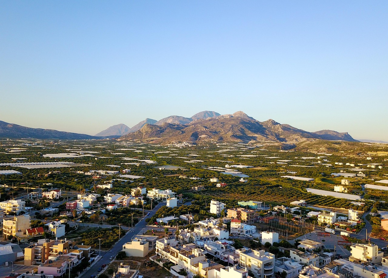
The natural landscape around cities plays a crucial role in determining how dramatically urban areas can alter their local weather patterns. Geographic features can also impact the heat island effect. For example, nearby mountains can block wind from reaching a city, or create wind patterns that pass through a city.
Geographically, SUHII is lower on the eastern side of Chicago near Lake Michigan, due to cooler lake breezes moderating surface temperatures. Lakeshore areas are significantly cooler by approximately 0.7°C compared to inland grid cells, consistent with previous studies documenting lake breeze effects on urban heat islands. Natural water bodies, mountains, and valleys all interact with urban development to create unique local weather patterns.
Future Climate Change Will Amplify Urban Weather Effects
As global temperatures continue rising, urban areas will become even more powerful weather generators, creating increasingly extreme local climate conditions. Research predicts that the heat island effect will strengthen in the future as the structure, spatial extent, and population density of urban areas change and grow.
Future-urban weather conditions will be detrimental also for buildings in London, where the annual energy demand is predicted to increase by up to the 16% if future climate and urban effects are included. This is due to a higher increase in cooling demand compared to the reduction for the heating need. One study concluded that cities change the climate in area two–four times larger than their own area, meaning the weather-creating effects of cities will impact much larger regions as urban areas continue expanding.
Mitigation Strategies Can Reduce Urban Weather Impacts
Green infrastructure is one of the best methods to improve the natural cooling effects of vegetation and is an effective strategy to mitigate UHIs. Providing shade, fully grown trees, plants, and green spaces reduce heat absorption and cool the air through evapotranspiration and are indispensable to reducing a city’s heat. Cities have several tools at their disposal to moderate their weather-creating effects.
Cool pavement coatings were part of a test in Phoenix, Arizona, which resulted in a 12°F drop in road surface temperature. Innovations of this sort, which not only minimize direct heat absorption, also improve stormwater management by mitigating excessive runoff. Fountains and artificial wetlands, as well as rivers, lakes, and other urban water bodies, play a critical thermoregulating role through evaporative cooling. Research reveals that adding more water bodies to urban planning has the potential to decrease temperatures in nearby areas.
Cities really do make their own weather, and it’s happening right under our noses every single day.