
Every autumn, forecasters roll out their seasonal outlooks with confidence built on decades of climate data, ocean temperature readings, and computer modeling. Yet winter has a way of humbling even the most sophisticated prediction systems. The 2025-2026 season is proving to be one of those years where the atmosphere seems determined to write its own script, tossing aside carefully crafted outlooks in favor of something messier and far less predictable.
From La Niña behaving erratically to a polar vortex that can’t seem to make up its mind, this winter has delivered a string of surprises that have left meteorologists revising their maps and homeowners rethinking their storm prep. Here’s a look at ten specific ways this season has diverged from what was originally forecast.
1. La Niña Turned Out Weaker Than Advertised
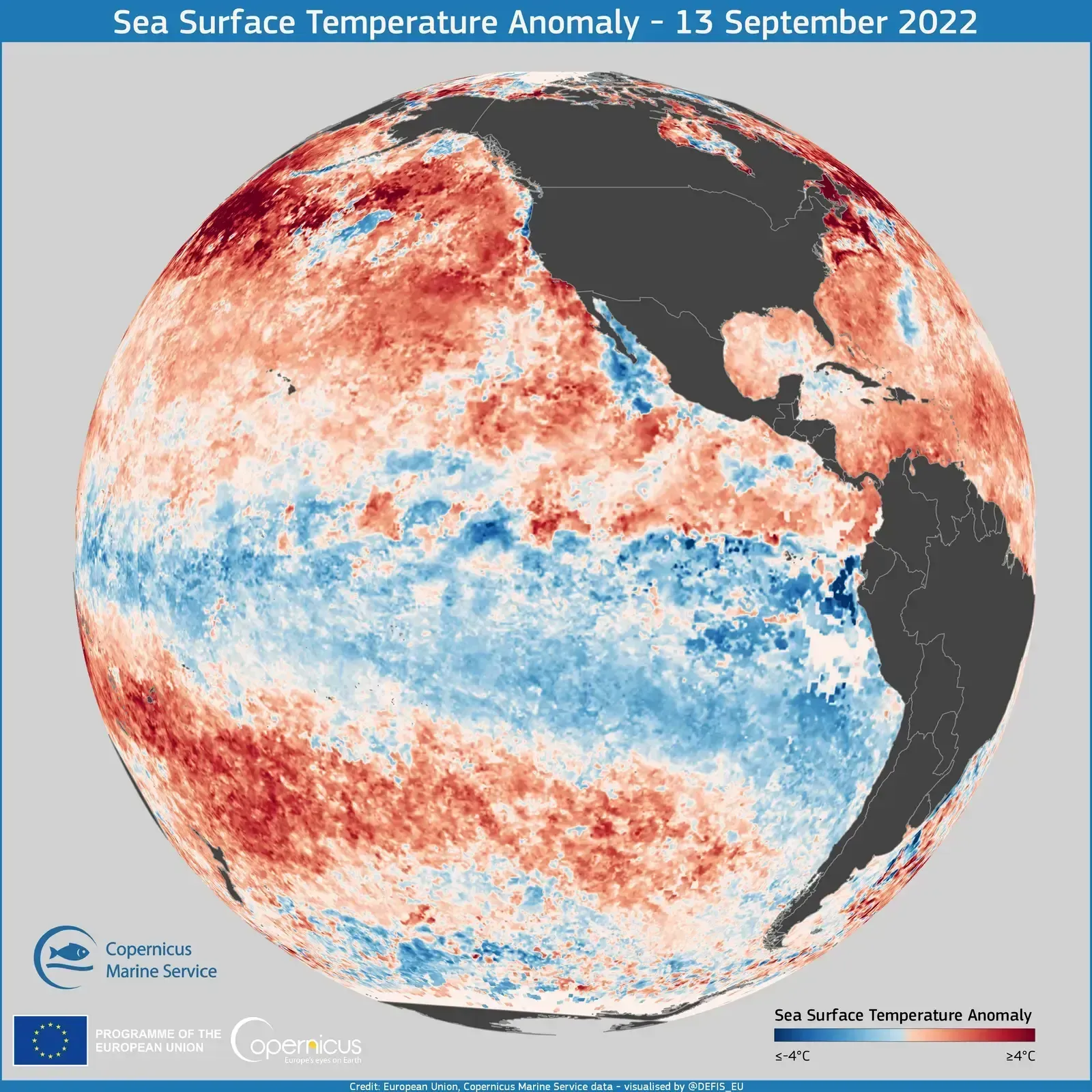
Forecasters spent much of the fall building their outlooks around a La Niña pattern, but the reality has been far less dramatic than initial projections suggested. La Niña was slightly favored to persist through December-January-February but was likely to remain weak. That weakness matters because a feeble La Niña doesn’t push the atmosphere into its usual grooves with the same force a stronger event would.
The muted signal meant that many of the textbook La Niña impacts, like reliably dry conditions in the South and consistently wet weather in the Pacific Northwest, showed up in fits and starts rather than as a steady seasonal trend. As the country re-entered a neutral phase, it became more challenging to predict specific regional patterns, since neutral signals are less reliable and create even more variability in the actual weather experienced. That uncertainty baked into the forecast from the very beginning is now playing out in real time.
2. The ENSO Transition Arrived Faster Than Expected
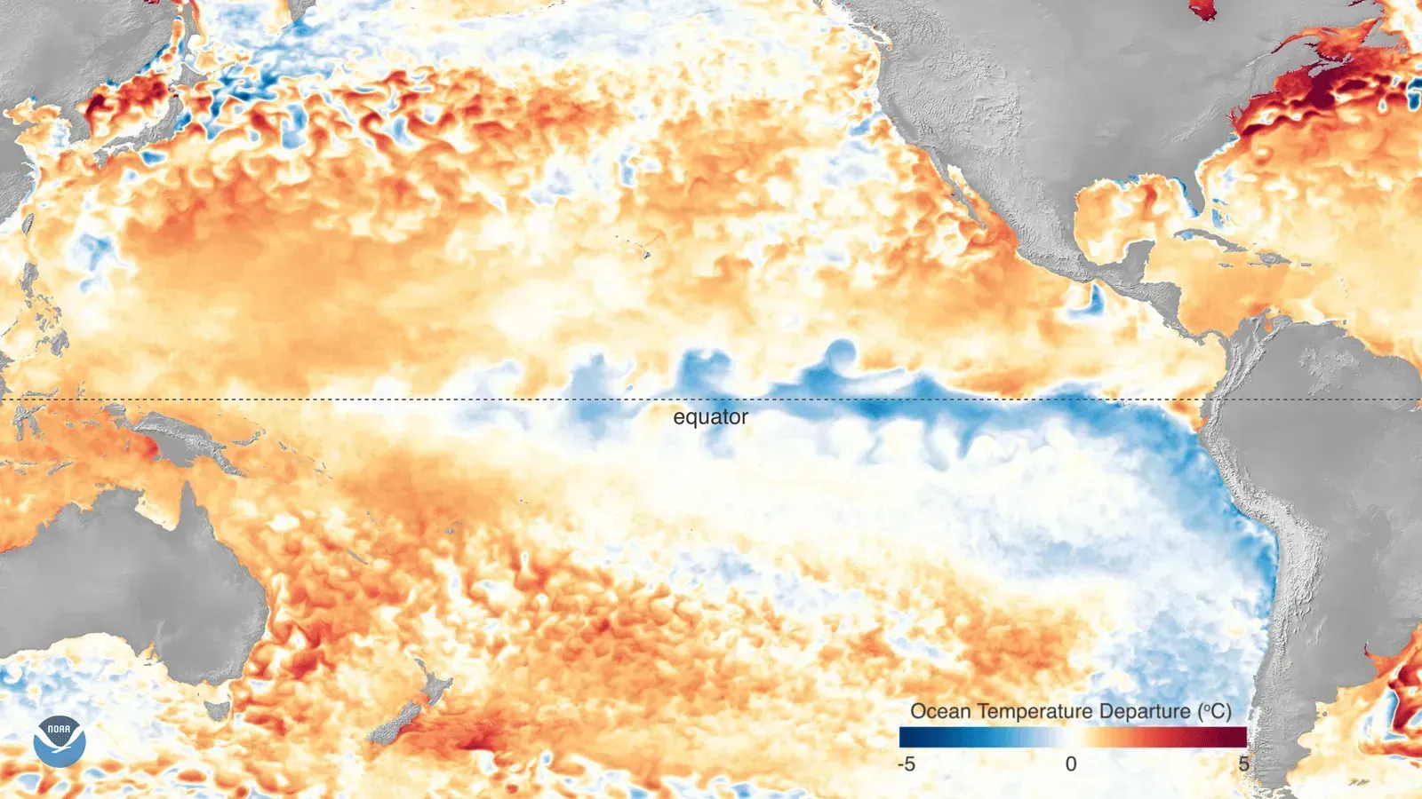
Climate scientists were already hedging their bets back in November, warning that the La Niña pattern wouldn’t stick around all winter. La Niña was favored to continue into the Northern Hemisphere winter, with a transition to ENSO-neutral most likely in January-March 2026, carrying about a sixty-one percent chance. That kind of hedge is a tell that forecasters themselves weren’t fully confident in how long the pattern would hold.
When the shift to neutral conditions arrived, it complicated the back half of the season considerably. Forecasters had said they expected La Niña to last through February 2026 before transitioning back to the neutral phase of the cycle as the spring season began. Once that transition kicked in, the tidy regional patterns tied to La Niña started to blur, leaving both temperature and precipitation outlooks less reliable than they were in early winter.
3. The Polar Vortex Refused to Follow the Script
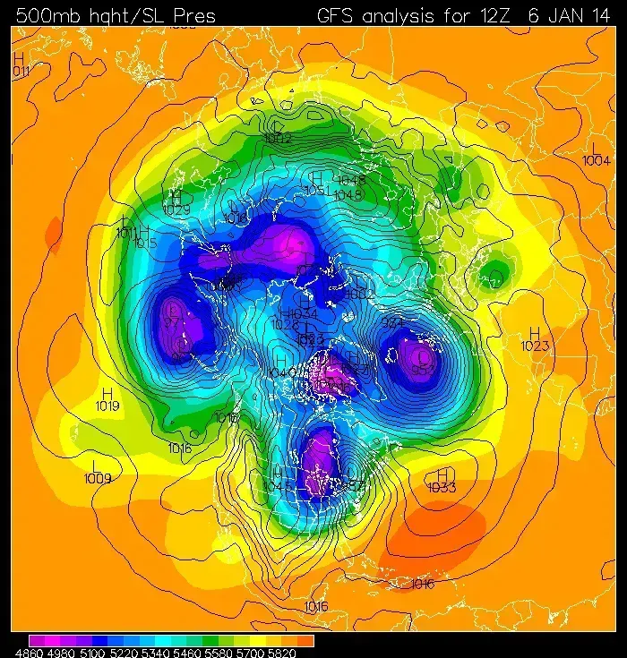
Much of the pre-winter buzz centered on a possible sudden stratospheric warming event that could send the polar vortex into disarray. One scenario predicted that a sudden stratospheric warming high above the North Pole could disrupt the polar vortex, potentially pushing cold air further south into the U.S. and blanketing parts of the nation with extended cold and snowy conditions starting in December and lasting through January. That was the headline-grabbing scenario meteorologists warned about for weeks.
Instead, the vortex behaved unpredictably, weakening at some points and rebuilding at others rather than following a clean collapse-and-recover pattern. By early 2026, conditions had shifted enough that extended rounds of cold air became less likely, with conditions looking a lot like a typical La Niña pattern instead, warmer than average across the southern tier and cooler than average across the northern tier. The dramatic vortex collapse many forecasters flagged as a real possibility simply didn’t materialize the way it was framed months earlier.
4. Southern States Got Warmer Than Even the Original Forecast Suggested
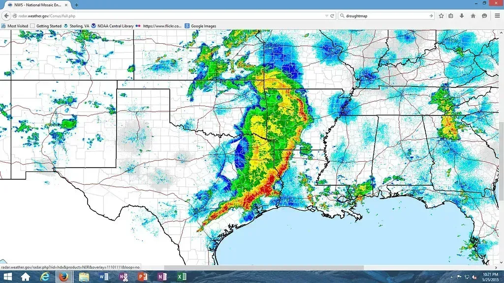
NOAA’s temperature outlook for the Southwest actually got revised warmer as winter approached, a sign that even the agency’s own confidence was shifting mid-stream. A notable, if slight, change from NOAA’s October outlook showed the Southwestern region seeing a winter that was somewhat warmer than previously expected. That’s a subtle but telling admission that the original read on the season needed adjusting before winter had even fully arrived.
The broader temperature outlook had already flagged widespread warmth across huge swaths of the country. The December-January-February temperature outlook favored above-normal temperatures across much of the East Coast, Southeast, Gulf Coast, Texas, the Southwest, and California. Watching how consistently that warmth held, or didn’t, across those regions has been one of the more closely tracked storylines of the season.
5. The “Bookend Winter” Theory Didn’t Play Out Evenly
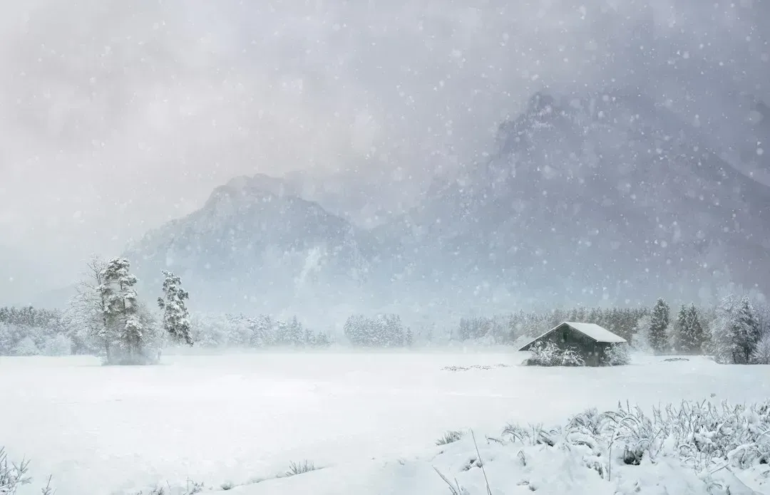
Ahead of the season, a popular narrative emerged describing this winter as a “bookend” pattern, cold and stormy at the start and end with a lull in between. Get ready for a “bookend winter” became the emerging theme for the 2025-2026 season, a period likely to be defined by a harsh, cold, and snowy start, a potential mid-winter thaw, and a stormy return just when spring seemed close. It was a tidy, memorable framework that made for great headlines.
Reality proved messier than that clean narrative suggested. The forecast’s complexity stemmed from a fascinating atmospheric tug-of-war between La Niña and the polar vortex, whose unusual interaction promised a winter that would keep everyone on their toes. Rather than two distinct cold bookends with a calm middle, the season has featured a more scattershot mix of warm spells and cold intrusions that don’t fit neatly into that original three-act structure.
6. December Turned Colder Than Early Forecasts Called For
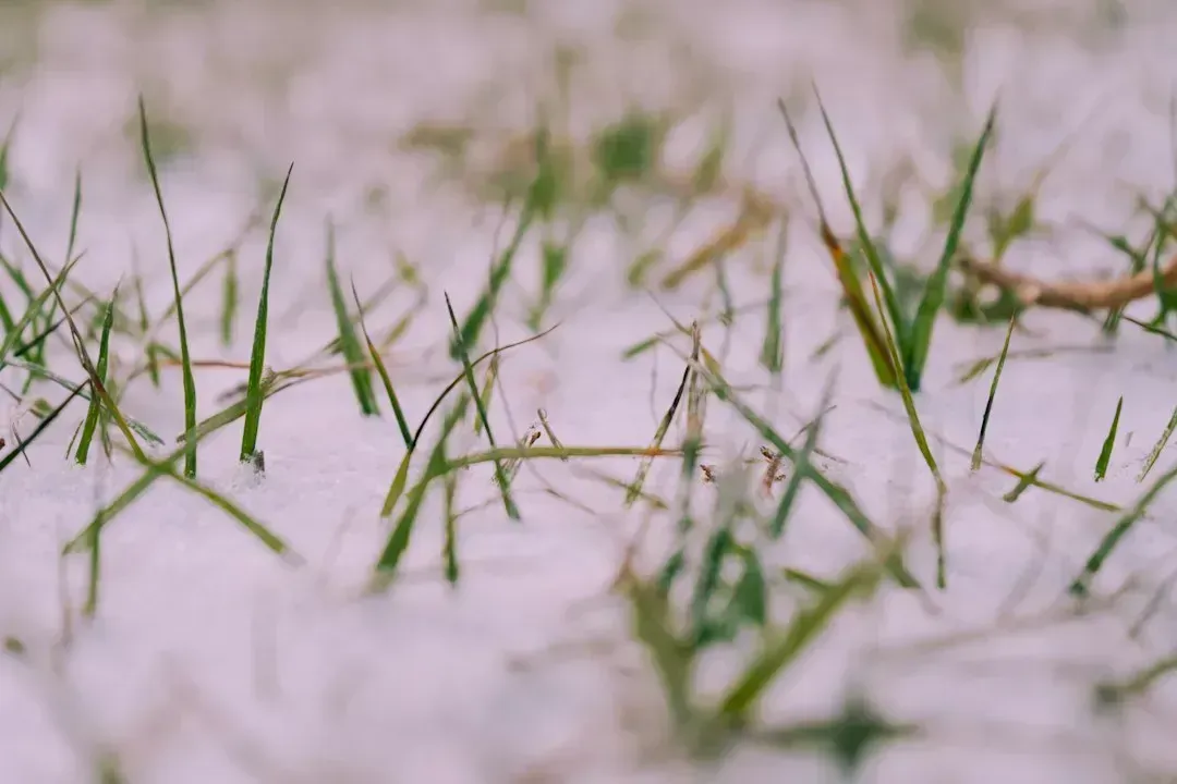
Long before the season began, chatter about a mild, La Niña-driven December was common. That narrative didn’t hold. The polar vortex and La Niña brought a colder winter than previously expected, with December turning out colder despite early warm forecasts. That’s about as direct an admission of a forecast miss as you’ll find in seasonal climate coverage.
Part of what drove that colder-than-expected start traces back to signals meteorologists had actually flagged months in advance, even if they weren’t sure how strongly those signals would manifest. Early data had shown strong signs that the polar vortex was likely to be weaker than normal during winter 2025/2026, and a weaker polar vortex usually means a weakened or disrupted jet stream below, increasing the chance of a more dynamic winter pattern. The signal was there, but translating it into a precise, actionable forecast proved far trickier than the underlying science made it sound.
7. January Brought an Unexpected Warm-Up Instead of Deep Cold
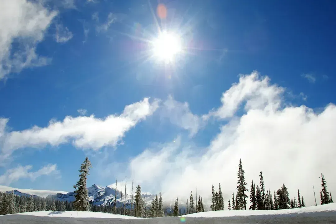
If December surprised forecasters with cold, January flipped the script entirely by turning unexpectedly mild across much of the country. This forecast was slightly warmer than the previous year for the first three months of the year. For a season that had been billed as potentially brutal in its early stretch, that warm turn caught plenty of people off guard.
The shift coincided with changes in the polar vortex’s behavior that ran counter to the disruption many had anticipated. Rather than staying weak or splitting apart, the vortex reorganized itself, and conditions began looking a lot like a typical La Niña pattern, warmer than average across the southern tier and cooler than average across the northern tier. That’s a far cry from the extended arctic outbreak scenario floated back in November.
8. Snowfall Outcomes in the Pacific Northwest Didn’t Match the Setup
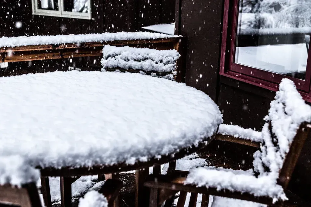
Early outlooks were fairly confident that the Pacific Northwest would see a wetter, snowier winter thanks to La Niña’s typical influence on that corner of the country. The region was expected to see a cold, wet winter with above-normal snowfall, with frequent storms dumping heavy, wet snow in the Cascades and Olympics. That was one of the more confident regional calls heading into the season.
Yet even NOAA’s own outlook acknowledged real uncertainty baked into that forecast from the start. The temperature-precipitation combination suggested resorts in the Northern Rockies and Northern High Plains would see above average snowfall, while the snowfall predictions for the Pacific Northwest remained essentially a coin flip. A coin-flip forecast is, by definition, not a confident one, and the actual snowfall totals across the region have reflected that built-in unpredictability rather than a clean above-normal outcome.
9. The Southwest’s Drought Concerns Didn’t Follow a Simple Pattern
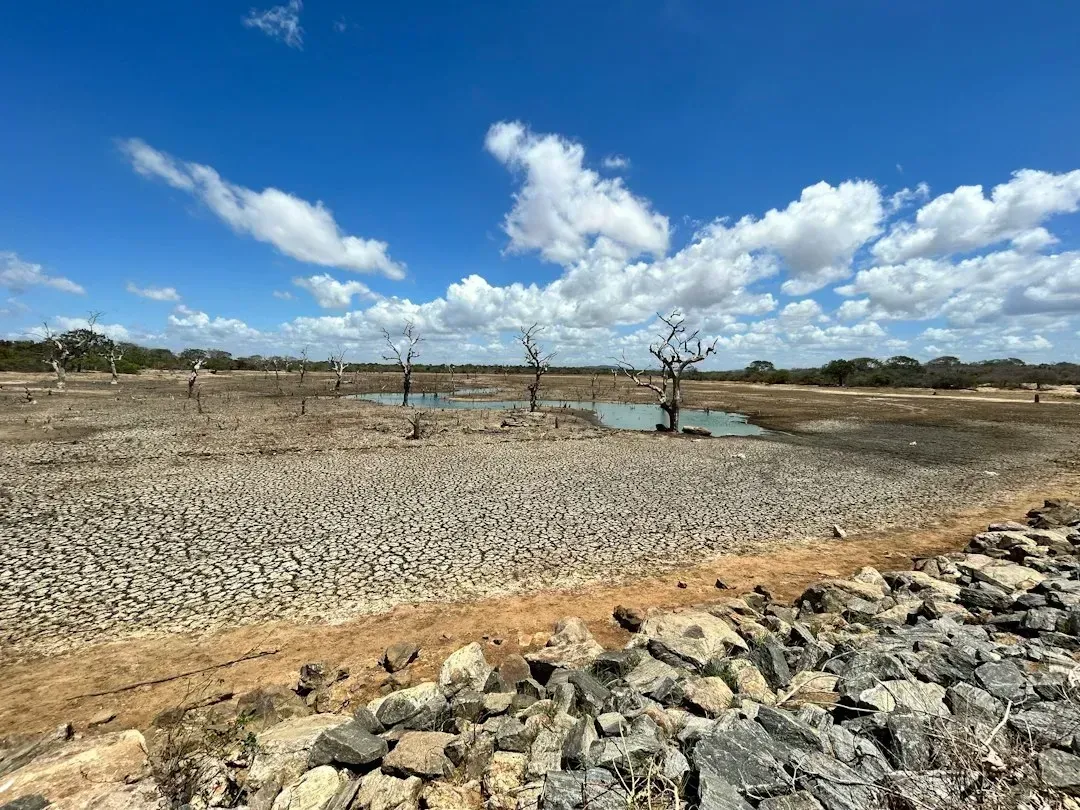
Heading into winter, the assumption was straightforward: La Niña would keep the Southwest dry and warm, deepening ongoing drought conditions. Typically, La Niña keeps weather dry and warmer in the southern half of the country, making drought conditions worse in Southern California and the Southwest. That’s the textbook relationship forecasters leaned on heavily in their early outlooks.
But the region’s precipitation outlook wasn’t nearly as clean-cut as that summary implies, even in NOAA’s own materials. NOAA’s winter outlook forecast above-normal overall precipitation for the Pacific Northwest and northern California along the West Coast, while also predicting drier than normal conditions across the Southwest, southern Texas, and the Southeast. Squaring those competing signals within neighboring regions has made it difficult to say the drought narrative played out as simply as the seasonal summary suggested it would.
10. A Late-Winter Polar Vortex Disruption Arrived Months Off Schedule
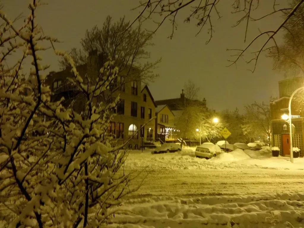
Perhaps the most striking twist has been the timing of the polar vortex disruption that forecasters spent all autumn anticipating. Instead of arriving in December as originally floated, it showed up much later in the season. Current forecasts showed that the impacts of the polar vortex split began in early to mid-March 2026, favoring a ridge near Greenland and troughing across central and eastern Europe, increasing the likelihood of cold air intrusions and late-winter snow events. That’s roughly three months later than the scenario meteorologists were describing back in November.
This delayed disruption underscores just how difficult it is to pin down the exact timing of stratospheric events, even when the underlying ingredients are correctly identified well in advance. This destabilization became the primary driver of the 2026 arctic blast forecast, signaling a return to more intense winter conditions across much of the Northern Hemisphere. Getting the “what” right while missing the “when” by a full season is a pattern that has repeated itself throughout this winter’s forecasting saga.
Taken together, these ten storylines say less about incompetence on the part of meteorologists and more about the genuine complexity of forecasting weather months in advance. Seasonal outlooks are probabilistic by nature, built on tendencies and historical analogs rather than guarantees, and this winter’s mix of a weak La Niña, an unpredictable polar vortex, and shifting ENSO timelines created about as many variables as the atmosphere could throw at forecasters at once. If anything, this season is a good reminder that a seasonal outlook is a starting point for expectations, not a script the sky is obligated to follow.

- The 7 Ways Scientists Measure Distances Between Stars - September 24, 2026
- The 6 Regions Where Weather-Related Insurance Costs Are Rising Fastest - September 24, 2026
- Before You Move: The 10 Countries With the Most Stable Climates Left - September 24, 2026
