
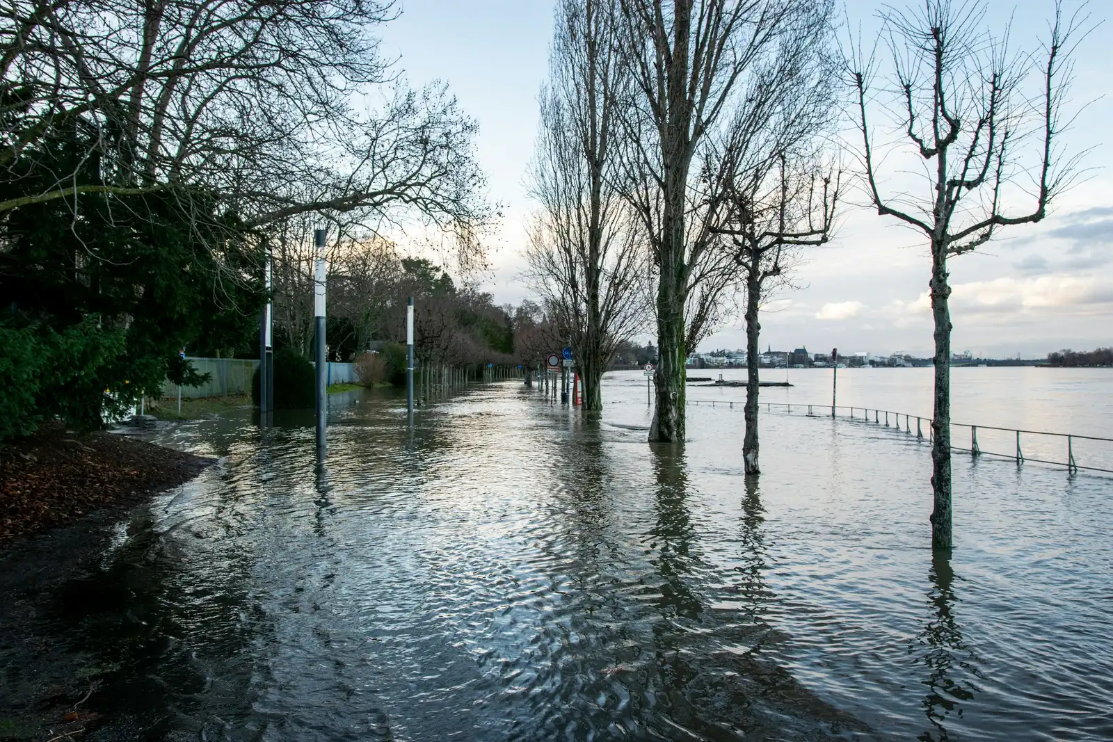
Above the ocean, moisture sometimes gathers into a narrow band thousands of kilometers long. When that band meets a coastline, the result can be days of heavy rain. Meteorologists call these features atmospheric rivers.
The headline idea, that coasts are getting hit twice as hard, needs checking against the research. The published numbers from 2025 and 2026 show real intensification, though they vary by region and method. Here is what the evidence supports.
What an atmospheric river actually is

Atmospheric rivers are long, narrow corridors of moisture that carry vast amounts of water vapor across oceans and into coastal regions. They aren’t rivers in any literal sense, since nothing flows in a channel you could see.
They are streams of humid air that move with the wind. When that air is forced upward by mountains or fronts, it cools and releases its water as rain or snow. That is why coastal ranges often take the worst of it.
How much flooding they are responsible for
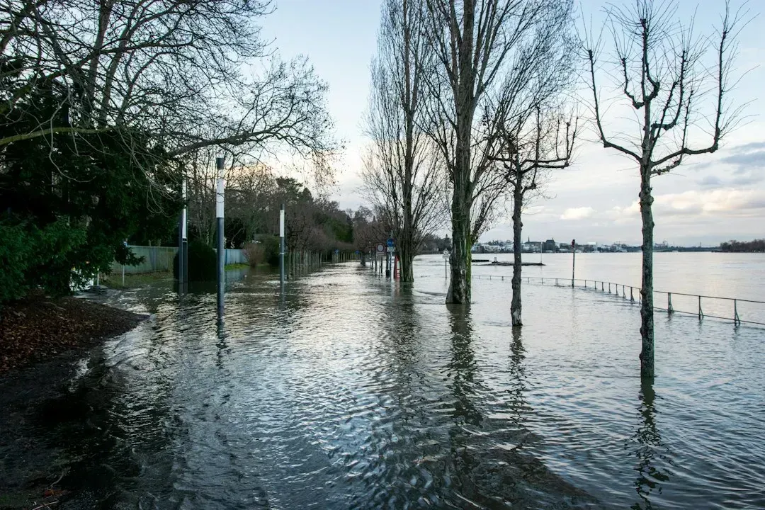
A 2026 paper in npj Climate and Atmospheric Science notes that atmospheric rivers are associated with nine out of every 10 floods in major global river basins. That is a striking share for a weather feature many people have only recently heard of.
Along the North American west coast, the role is just as large. During autumn and winter, atmospheric rivers deliver the majority of precipitation there and strongly influence regional hydrology.
What a 2026 Portugal study found about intensity

Researchers from the Hebrew University of Jerusalem and the Karlsruhe Institute of Technology studied heavy rain in western Iberia. They found that when atmospheric rivers were involved, rainfall was on average more than one third stronger than in storms without them. That is a clear boost, though well short of double.
The same team compared storms by how predictable they were. The most predictable events produced rainfall intensities roughly four fifths higher than the less predictable storms. So the “twice as hard” idea comes closest to the extreme end of one regional study, not to a general rule.
Why winds matter as much as moisture
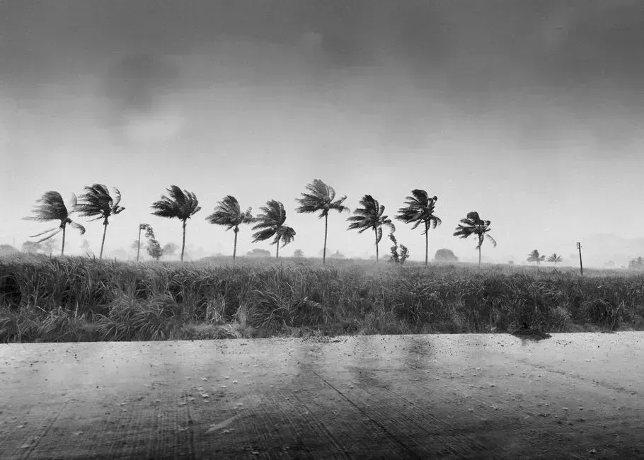
It’s natural to assume heavier rain simply means more water in the air. The Portugal study points elsewhere. The added intensity did not come from more moisture overall, but from stronger winds near the surface that funnel moisture more efficiently into the region.
The researchers tied these events to large, organized weather systems. Such systems strengthen winds and channel moisture efficiently, giving heavier rainfall and clearer signals in the atmosphere. One practical upshot is that the strongest storms can be easier to anticipate.
Evidence of intensification in Japan

A 2026 study in Climate Dynamics looked at atmospheric rivers near Japan. It found that water vapor transport by these rivers over western and eastern Japan has increased by about eight percent over the past 42 years. That is a measured rise, and a modest one compared with the doubling in the headline.
The authors link the change to two drivers. These are increased atmospheric moisture and stronger winds near the surface, tied to global warming and a strengthened North Pacific Subtropical High. A small shift in transport can still matter a great deal for flood risk.
Bigger footprints and wetter air
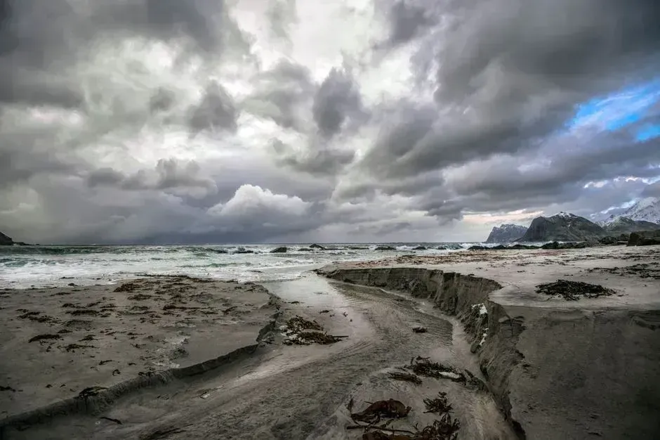
Another analysis compared decades of records with the early 1980s. It reported that atmospheric rivers cover roughly six to nine percent more area than they did in 1980. The total moisture held through the depth of the atmosphere also rose, by about one and a half to two and a half percent.
These are small percentages, and they are averages. Still, a wider footprint means more coastline under the band at once, and even a slight rise in moisture can raise rainfall totals during a landfall.
Why coastal cities face compound risk
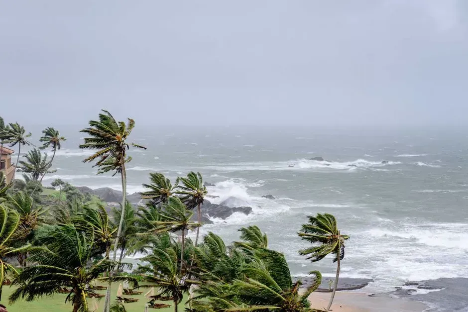
Rain is rarely the only hazard. One analysis tied landfalling atmospheric rivers to roughly forty to seventy five percent of extreme wind and precipitation events along about forty percent of coastlines.
Storm surge adds to the problem. A Dutch study cited in a 2026 paper examined the role of atmospheric rivers in compound events combining heavy precipitation and high storm surges along the Dutch coast. When rivers swell as the sea pushes inland, water has nowhere to go.
Rain, snow and saturated ground in the west

A 2026 paper in Natural Hazards and Earth System Sciences examined how atmospheric rivers trigger compound inland flooding in western North America. It focused on events where multiple drivers intensify flood risk, namely rain on snow and saturation excess flooding.
The takeaway is that the same rainfall can do very different damage depending on conditions on the ground. Snowpack and soil already full of water both turn a storm into a bigger flood.
The Mediterranean and forecasting advances

The pattern is not limited to the Pacific. A paper published in May 2026 in Natural Hazards and Earth System Sciences examined the detection of atmospheric rivers affecting the western Mediterranean, with a focus on extreme rainfall over northern and central Italy.
Forecasting research is moving as well. A 2026 study cited in a recent preprint reported that antecedent moisture enhances early warning of atmospheric river flood hazards. Knowing how wet the ground already is can sharpen warnings before landfall.
What the numbers support

The research shows atmospheric rivers are linked to most major floods, and that they are growing in some measurable ways. Portugal’s storms with these rivers ran more than one third stronger, and Japan’s vapor transport has risen by about eight percent over four decades.
None of the sources reviewed here shows a general doubling of coastal rainfall this season. The largest gap, roughly four fifths, applies to the most predictable storms in one region, not to coasts everywhere.

- Scientists Warn Climate Change Is Accelerating Faster Than We Can Respond - November 17, 2026
- Ocean-Sized Rivers in the Sky – Why This Season’s Rain Corridors Are Drenching Coasts Twice as Hard - November 17, 2026
- Dry Asphalt to Pure Black Ice in 12 Minutes – The Fast-Moving Flash Freeze Drivers Never See Coming - November 17, 2026
