
Most people only hear about the polar vortex when a cold snap makes the news. This November, forecasters started talking about it for a different reason. The winds circling high above the Arctic began to behave in a way the record books don’t show for this time of year.
The story is still unfolding, and reports differ on how far along it is. What’s clear is that the timing has caught the attention of researchers on both sides of the Atlantic.
What the polar vortex actually is

The polar vortex isn’t a storm. It’s a band of strong westerly winds circling the Arctic, roughly 19 to 30 miles above the surface. When it’s healthy, it acts a bit like a fence around the cold air.
Weather.com describes a strong, circular vortex centered over the pole as one that tends to keep cold air bottled up in the far north. A weaker, stretched one loosens that fence. Cold air then has more chances to spill south, though not always where people expect.
What forecasters saw in early November
Late in October, computer models began pointing to a sharp slowdown of the stratospheric winds. The vortex was forecast to become weaker and stretched, like pulling at both ends of a rubber band. Some model runs went further and showed two separate cores.
Severe Weather Europe reported forecasts of a proper wind reversal and a split of the vortex core in the stratosphere. One report published on November 8 said the vortex had weakened significantly, stretching and temporarily dividing into two separate circulations. Another from November 3 said that, at the time, it had not yet split. So the exact status depends on which update you read.
Why the timing stands out

Season matters here. Major disruptions usually arrive in January or February, after the polar vortex has fully formed. A split in the first week or two of November comes much earlier than that.
The Boston Globe noted that such an event would set a new record for the earliest breakdown and displacement of the polar vortex, dating back to the 1950s. That is why the word record keeps showing up in coverage. It’s also the main reason forecasters say this doesn’t fit the usual historical pattern.
How a sudden stratospheric warming works
The trigger is usually a sudden stratospheric warming. Large atmospheric waves push upward from the lower atmosphere and disrupt the vortex. The effect on temperature is dramatic.
Weather.com explains that stratospheric temperatures can climb by 50 to 70 degrees or more in just a few days. When the winds actually reverse direction, meteorologists classify it as a major warming. That reversal is the threshold forecasters were watching this month.
The super El Niño complication
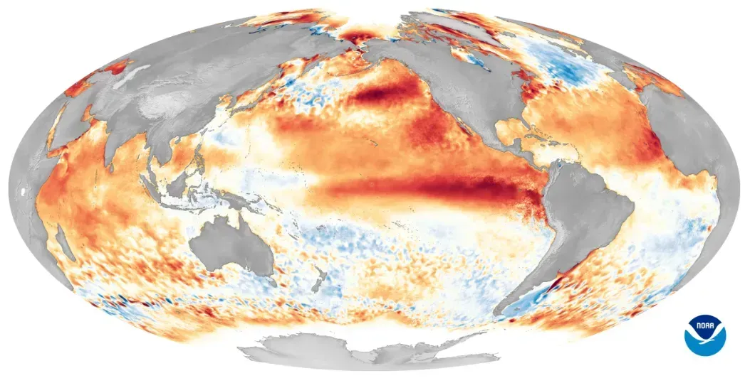
Another piece of the puzzle is the Pacific. The Boston Globe reported that a very strong El Niño usually goes with a more stable polar vortex heading into winter. This year’s behavior runs against that tendency.
Weather.com framed it as a contest, with the vortex stretching while the El Niño is still intensifying and competing for influence on weather in the U.S. and Europe. NOAA, meanwhile, still favored a mild November as a near record El Niño builds. Nobody can say yet which influence will win out.
A winter that began disrupted

This isn’t the vortex’s first unusual move of 2026. A NASA image used by the Boston Globe shows frigid air from a disrupted polar vortex pouring into North America in January 2026. That was the more traditional midwinter kind of event.
Later, in March, MIT researcher Judah Cohen told USA Today that another sudden stratospheric warming looked all but inevitable, and that it would be a split. So the vortex has now made headlines in January, March and November.
What a split means for the weather near you
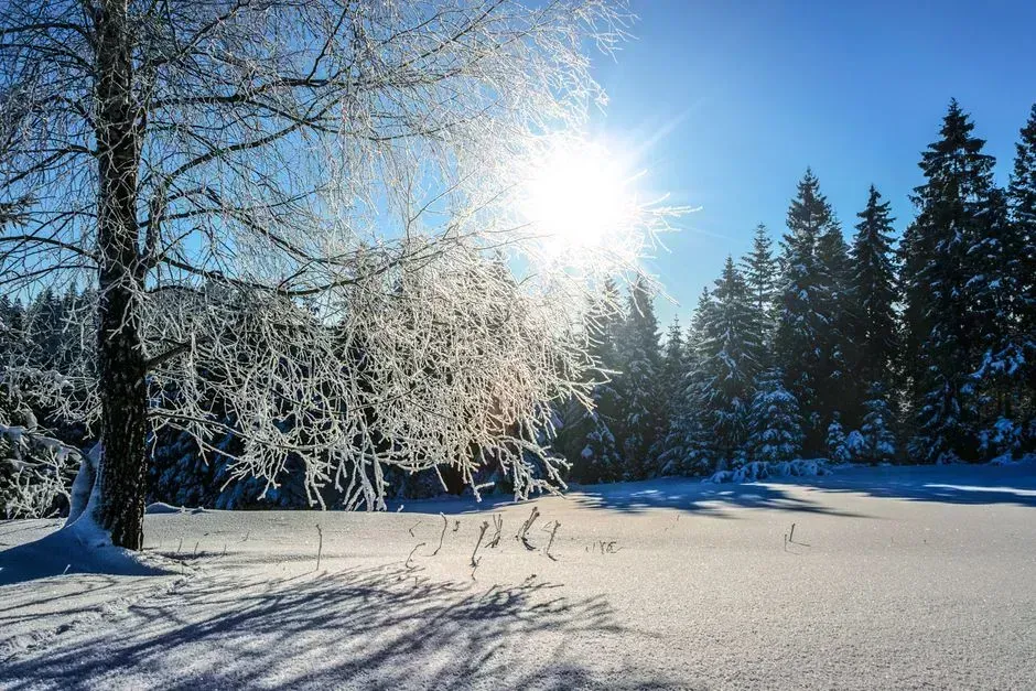
A split doesn’t automatically mean a deep freeze. Reporting from Nature World News says it raises the odds of cold outbreaks without guaranteeing them, and some past events brought little cold to a given region. Geography and timing matter a lot.
Cohen made a similar point in March, noting that the only near certainty from a split is a milder period for the eastern U.S. in some cases. The effects tend to arrive weeks later, and they vary from one continent to the next.
The view from the United Kingdom and Europe
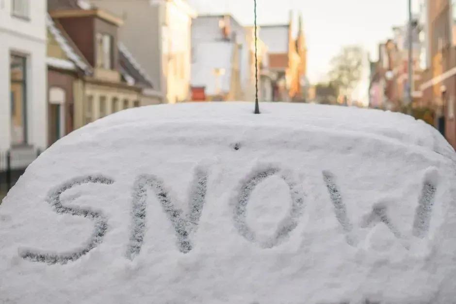
In Britain, the concern is colder weather and snow later in November and December. Coverage on November 8 said the disruption could increase the risk of colder weather and snowfall across the UK, although effects remain uncertain. Forecasts also pointed to a possible wind reversal by mid November.
The Met Office cautions that a disruption does not guarantee severe winter conditions. Experts still suggest being ready for possible cold spells and travel disruption. Preparing is sensible, even if the outcome isn’t settled.
Could there be another disruption this winter?
Forecasters are already looking ahead. Atmospheric G2’s Todd Crawford noted that models suggest a higher than usual chance of another pinching of the polar vortex in January or February.
That remains a probability rather than a prediction. Weather.com adds that it’s not certain whether another weakening will happen at all. Until the next model runs and observations come in, the November event is the only one on the table.

- Cold Spots in Your Living Room – How Micro-Drafts Follow Window Pressure - November 18, 2026
- 6 Western Basins Where Historic Aquifer Depletion Is Already Threatening Residential Water - November 18, 2026
- Clean Energy Is Betting Big On The AI Data Center Boom - November 18, 2026
