
Something has shifted in how Americans experience their own cities. The changes aren’t always dramatic enough to make a single headline, but they accumulate in ways that reshape daily life: the way insurers price homes, the way developers decide where to build, the way city planners draw flood maps that didn’t exist a generation ago. The average length of time between billion-dollar weather disasters in the U.S. has fallen from 82 days during the 1980s to just 16 days over the last decade. That compression isn’t abstract. It shows up in neighborhoods.
Extreme heat is the deadliest form of extreme weather and, in most years, kills more Americans than floods, tornadoes, and hurricanes combined. Meanwhile, flooding, wildfires, and compound disasters are rewriting what it means to live safely in dozens of American cities. These ten places are where the transformation is most visible – and most consequential.
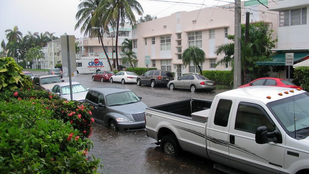
1. Miami, Florida – Sinking Into a Different Future
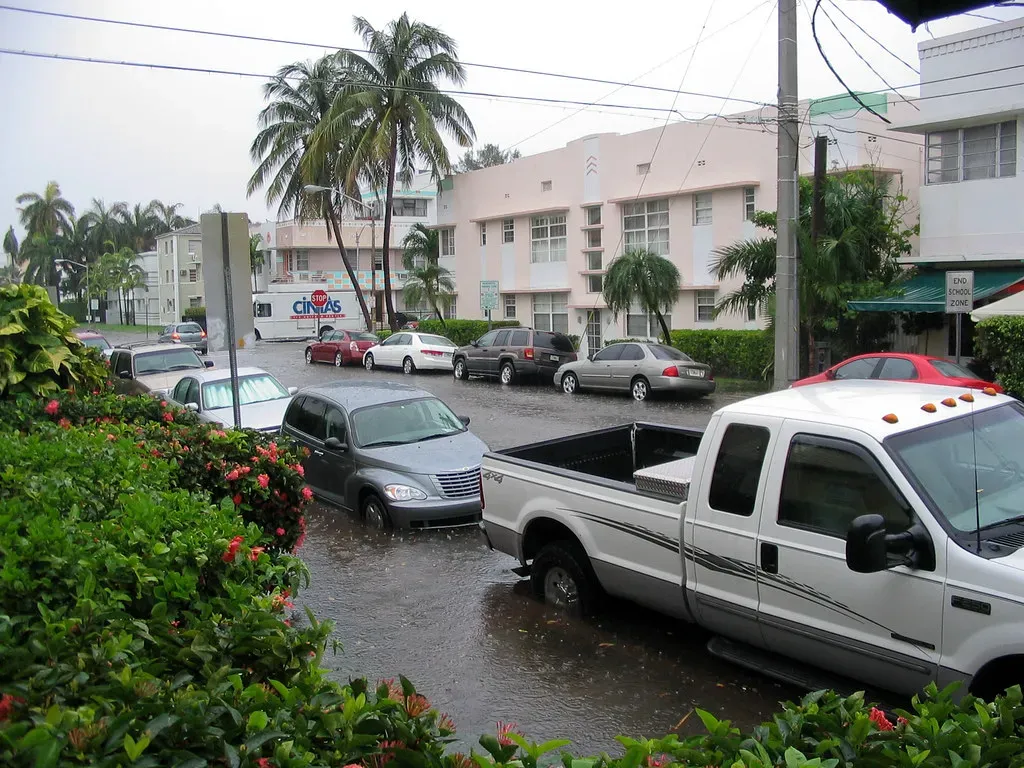
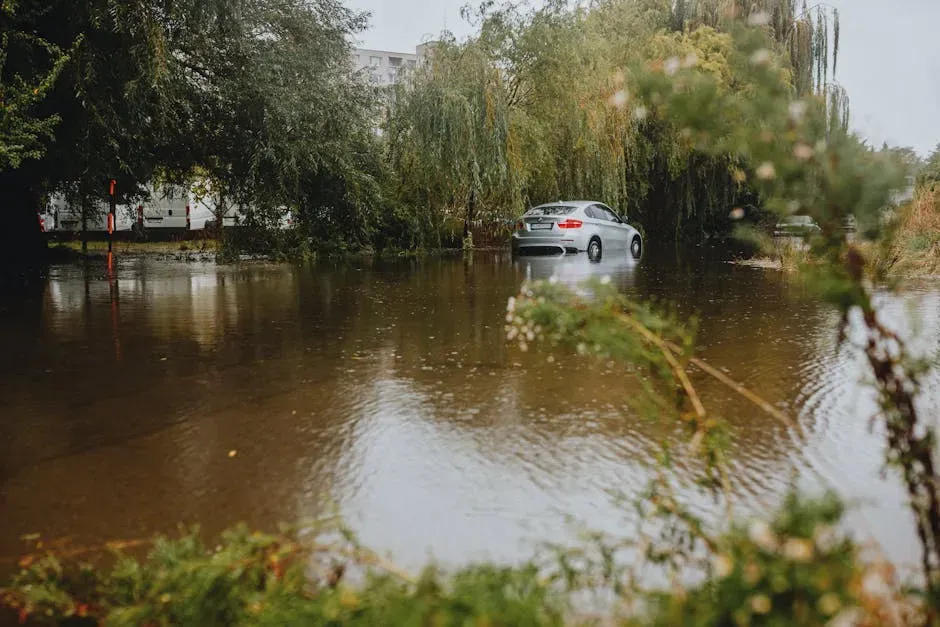
The ocean has already risen about six inches since 2000, and the city is simultaneously sinking. It sits on porous limestone rock that allows water to seep easily from underground, dynamics that exacerbate flooding from rising seas, storm surge, torrential rains, and periodic exceptionally high tides. The frequency of flooding from high tides, known as “sunny day” flooding, is up over 400 percent in Miami Beach since 2006.
Researchers at the Organisation for Economic Co-operation and Development listed Miami as one of the ten most vulnerable cities worldwide relative to the number of people at risk of coastal inundation, and the most vulnerable when judged by the total value of assets such as buildings and infrastructure at risk. By 2040, sea levels are expected to be 10 to 17 inches higher than 2000 levels, compounding a challenge the city is already losing ground against, quite literally.
2. Los Angeles, California – When Whiplash Weather Ignites
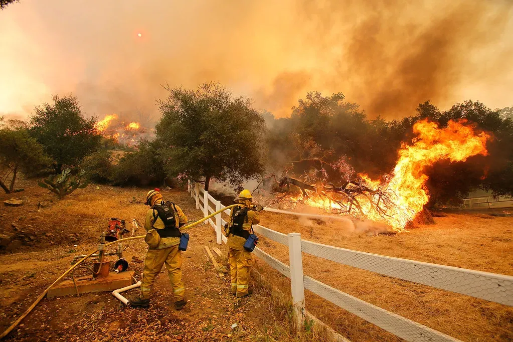
California is no stranger to wildfires, but January 2025 saw some of the worst yet. Supercharged by global heating, more than a dozen fires raged across the Los Angeles metropolitan area, driven by hot Santa Ana winds reaching speeds of 100 mph. In total, more than 40,000 acres burned and over 12,000 structures were destroyed. These Los Angeles wildfires were the costliest 2025 event through June, with total direct losses exceeding $60 billion.
For the last decade, extreme drought was the order of the day across much of southern California. Then the weather flipped, bringing exceptionally heavy rainfall in 2022 and 2023, which resulted in an explosion of vegetation growth. In 2024, conditions flipped back again, bringing California’s hottest summer on record, followed by extremely dry weather in the autumn and early winter with next to no rain in downtown LA. The result was a city primed to burn.
3. New Orleans, Louisiana – Below Sea Level and Running Out of Options
New Orleans is heavily impacted by climate change because of its water-related vulnerabilities such as sea level rise, tornadoes, and flooding. A key factor behind these risks is the city’s very low elevation. The site on the Mississippi River, near the Gulf of Mexico, was historically mostly a wetland area. When swamps were drained, it led to subsidence of the land levels. Now the city rests six feet below sea level on average.
New Orleans might be the city least prepared for future climate and environmental changes, not just in the U.S. but globally. That’s according to a report from First Street, which compared economic resilience measures with climate-related threats in 426 cities across the globe. Of those cities, New Orleans ranked last, thanks to a dwindling population, high insurance costs, and risks from floods, heat, and hurricanes. The annual probability of the historical once-in-a-hundred-year rainfall event will roughly double throughout the mid-century period.
4. Houston, Texas – Flood, Heat, and a Fifth Hurricane Hazard
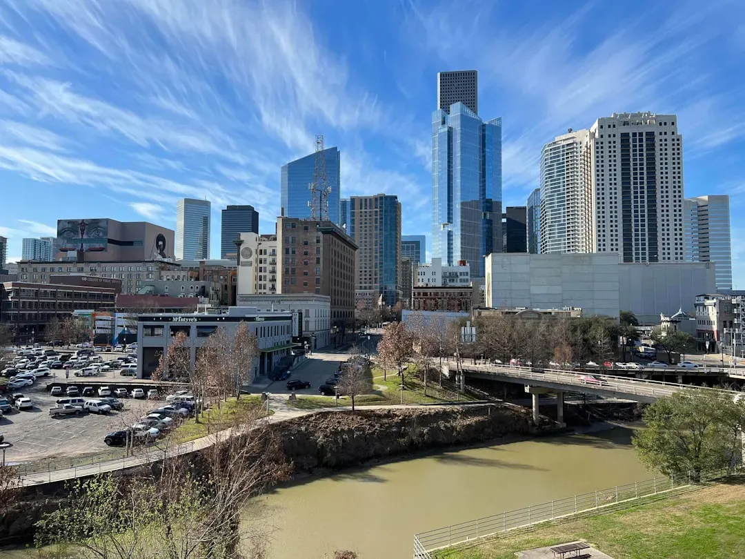
Houston is situated next to Galveston Bay along the upper Gulf Coast of Texas. Its summer temperatures have been soaring in recent years and coastal hurricanes are growing more destructive. Rising temperatures of gulf waters due to climate change are expected to raise average wind speeds during hurricanes and cause more frequent extreme rainfall, further increasing flood risks. Rising seas will eventually permanently raise water levels in the Buffalo Bayou, which runs from the southeast into the center of Houston.
Houston recorded a heat index of 110 degrees Fahrenheit on July 16, 2024, eight days after Hurricane Beryl’s landfall. According to the National Hurricane Center, 14 heat-related deaths occurred in Texas in the aftermath of Beryl, and more than 550 heat-related illness encounters were reported by Harris County Public Health over the following week. Historically, hurricanes have caused four main hazards: wind, storm surge, heavy rain, and tornadoes. Researchers now identify an increasingly dangerous fifth hazard: hotter post-landfall heat waves after a massive storm-caused power failure.
5. Phoenix, Arizona – The Hottest Big City Is Getting Hotter
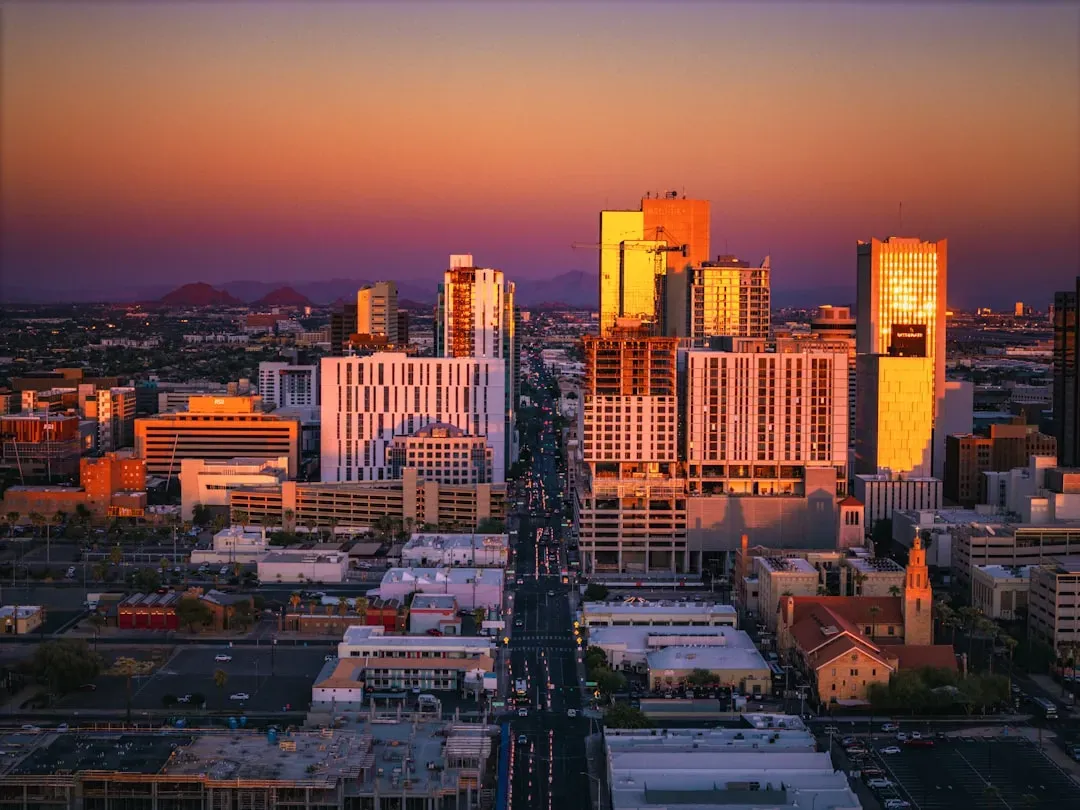
In Phoenix and Tucson, elevated water stress makes them among the most susceptible to chronic climate risk, even though their inland locations make them immune to sea-level rise. Phoenix has experienced some of the longest consecutive streaks of days above 110 degrees on record in recent summers, and the urban heat island effect amplifies already extreme temperatures for residents in lower-income neighborhoods with less tree canopy.
In cities across the United States, the average rate of extreme heat events increased from two per year in the 1960s to ten per year between 2010 and 2020. As of 2024, the average length of the heat-wave season in the U.S. has increased by 46 days since the 1960s. For Phoenix, a city where outdoor labor, construction, and even commuting carry genuine heat risk in summer, that trajectory isn’t a future projection. It’s the present.
6. Reno, Nevada – The Fastest-Warming City in America
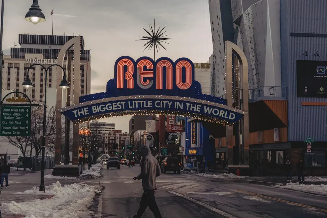
The top summer warming cities in the United States since 1970 include Reno, Nevada, which has warmed by an extraordinary 11.3 degrees Fahrenheit over that period – a figure that stands well above every other major city analyzed. That kind of temperature shift strains water supplies, fuels wildfire risk in surrounding landscapes, and forces communities to rethink infrastructure built for a cooler era.
Climate Central’s analysis of temperature trends from 1970 to 2025 identifies Reno, Nevada, as the fastest-warming U.S. city overall, a distinction with real consequences for a region that already depends on limited snowpack for freshwater. A billion-dollar drought affected the western U.S. in 2025, primarily driven by heat rather than by a lack of precipitation, consistent with an emerging trend of heat-driven drought in the western U.S.
7. New York City, New York – Infrastructure Built for a Different Climate
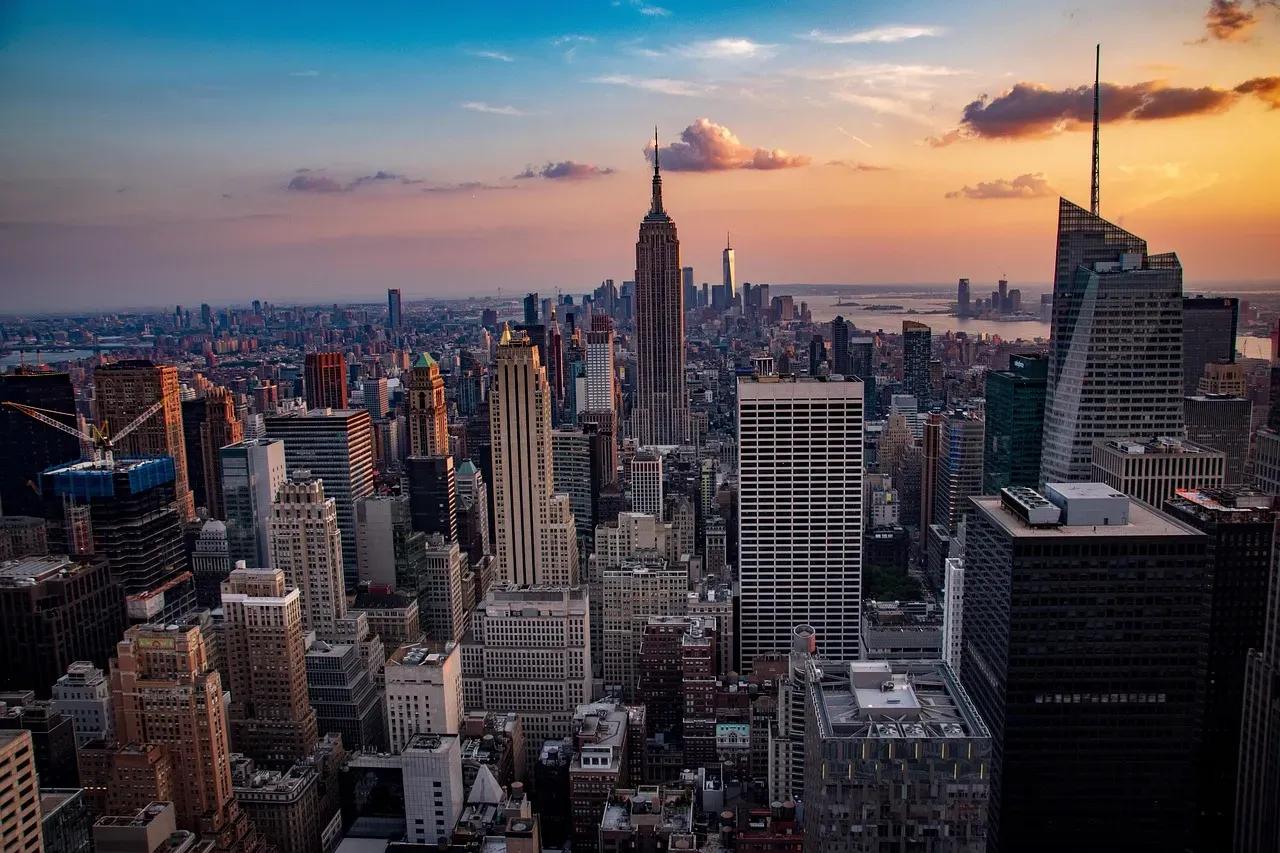
New York City is particularly vulnerable to significant losses from sea-level rise. Manhattan is surrounded by water and frequent flooding could prove crippling to an economy where much activity and the ability to travel is tied to low-lying land or subway tunnels. The memory of Superstorm Sandy in 2012 has never fully faded from the city’s planning conversations, and the infrastructure vulnerabilities it exposed remain only partially addressed.
Research shows that rainfall accounted for over 20 percent of the projected future power outage risk increase in the U.S. from hurricanes, with the proportion rising above 50 percent in parts of the Northeast. Powerful East Coast storms from Florida to Maine have produced widespread impacts from heavy rainfall, flooding, high winds, and coastal erosion, with heavy rainfall and snowmelt amplified by record-high temperatures in the Northeast. New York is increasingly in the path of those compound events.
8. Asheville, North Carolina – Inland Cities Are Not Safe
A photo from September 29, 2024, showed a damaged railroad bridge and mud-covered streets in Asheville, North Carolina, following flooding on the Swannanoa River during Hurricane Helene. This flooding eclipsed the region’s previous worst flood from 1916. Asheville and many surrounding cities and communities were heavily impacted. Landslides, debris flows, and historic levels of flooding inundated and destroyed homes, businesses, parks, hospitals, the electrical, cellular, and water system infrastructure, and damaged thousands of roads, highways, and bridges.
Asheville’s experience shattered a widespread assumption that inland, mountainous cities were somehow buffered from climate disasters. Climate change is supercharging the water cycle, bringing heavier rainfall extremes and higher inland flood risks across the U.S. For every degree Fahrenheit of warming, the air can hold four percent more moisture, increasing the chances of heavier downpours that can result in flooding. The mountains didn’t protect Asheville. In some ways, they made the flooding worse.
9. El Paso, Texas – Heat, Drought, and a Water Crisis in Slow Motion
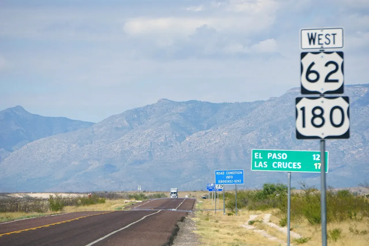
El Paso ranks among the top summer warming cities in the United States, with average summer temperatures rising by 6.2 degrees Fahrenheit since 1970 – a change that touches everything from agricultural viability to municipal water planning. The city sits in a region where water scarcity and heat reinforce each other in a feedback loop that’s accelerating.
Extreme heat will impact every state, with drought being the second-most common climate change impact projected for the U.S. Three in four states are expected to see their drought risk rise. In the desert Southwest, where El Paso draws water from both the Rio Grande and an overdrawn aquifer system, that projection carries an urgency the rest of the country can still afford to treat as distant. The extreme rainfall that triggered deadly floods in Texas in July 2025 followed a prolonged extreme drought beginning in 2021 in the affected Texas counties, a pattern of weather whiplash that scientists say is becoming more likely in a rapidly warming world.
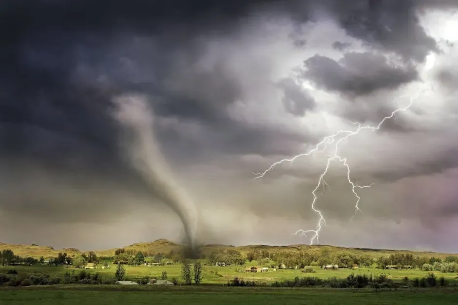
10. Kansas City, Missouri – Tornado Alley’s Shifting Boundaries
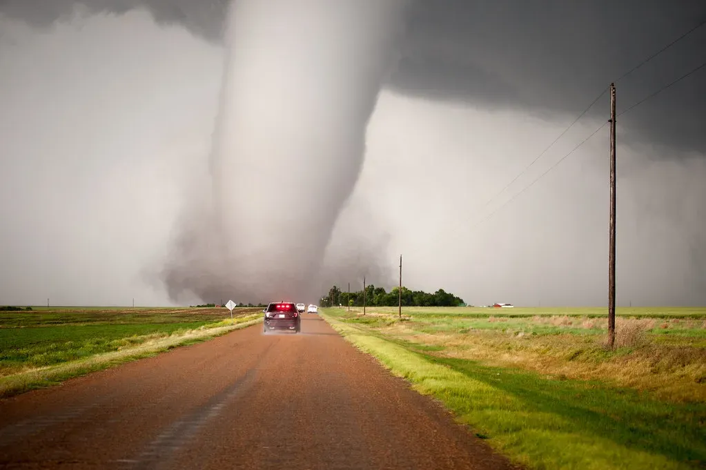
The worst tornado outbreak of 2025 was a multi-day event from May 14 to 16, when 182 tornadoes swept through Missouri, Arkansas, Illinois, Indiana, and ultimately down to Mississippi and Alabama – a corridor that tracks directly through the Kansas City metro region. The city sits in terrain that has historically made it vulnerable, but the frequency and clustering of severe storms has measurably intensified in recent years.
The number of billion-dollar severe storms set a new record in 2025, with 21 such events, reflecting near-record numbers of damaging high wind and tornado reports during the spring and summer. From 1980 through 2025, the U.S. suffered 426 separate billion-dollar weather and climate disasters, which took an estimated 17,194 lives and resulted in damages exceeding $3.1 trillion. For Kansas City and the broader Midwest, the direction of travel is clear: more severe, more frequent, and arriving faster than old models predicted.
What connects these ten cities isn’t geography or politics. It’s the fact that extreme weather has stopped behaving like a periodic disruption and started behaving like a permanent condition. The question each city faces now is less about whether change is coming and more about how much runway remains to prepare for it.