
The Alps
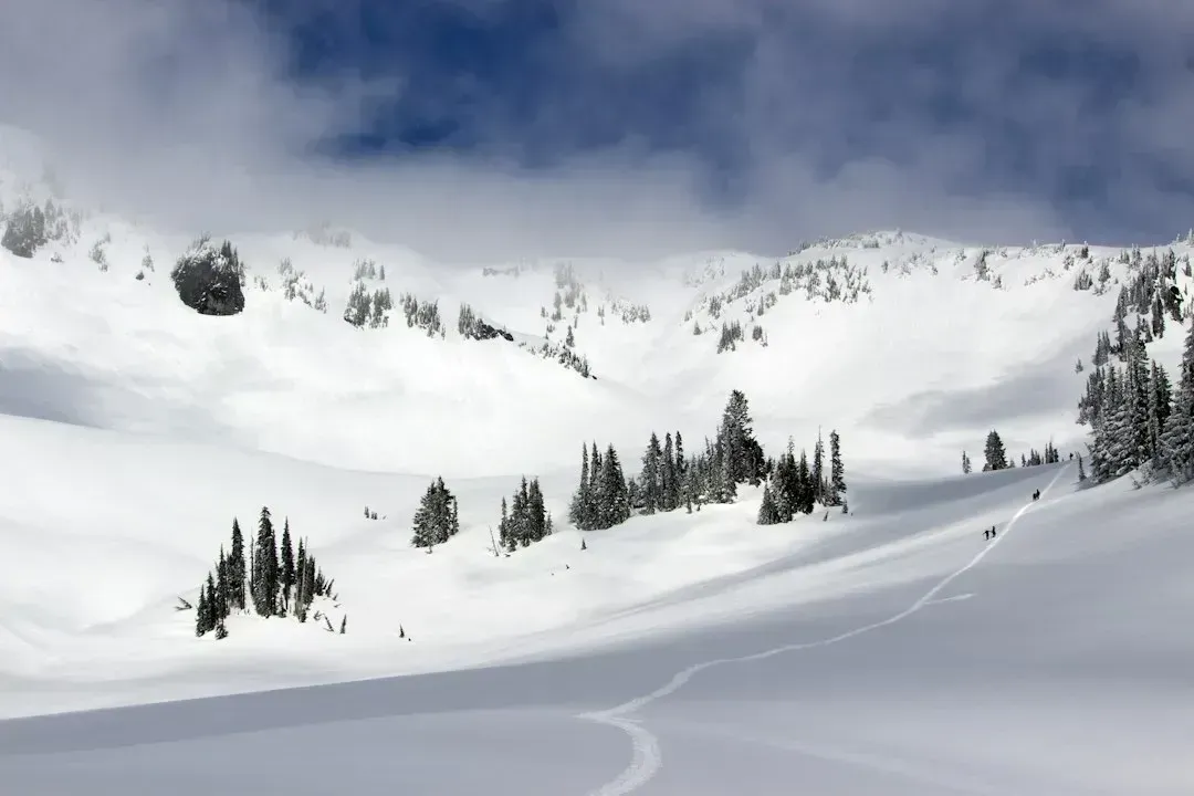
The European Alps have the longest and most rigorously studied snow record of any mountain range on Earth, and the data tell a consistent story. Seasonal snow cover in the Alps, measured between November and May, has seen an 8.4% decline per decade between 1971 and 2019, while snow cover duration has dropped by 5.6% per decade. A separate reconstruction using shrub growth rings found that the duration of current snowpack cover is 36 days shorter than the long-term mean, a decline that is unprecedented over the last six centuries.
Regional station data backs this up further. The South-West and South-East regions of the Alps experienced an average loss of 4.9 and 3.8% per decade respectively, while a smaller relative loss of 2.3% per decade was found in the Northern region. Analysts also note that a study evaluating linear trends of mean monthly snow depth between 1971 and 2019 concluded that 87% of the stations analysed were characterized by a decrease, with stronger negative trends from March to May than from December to February.
The Pyrenees
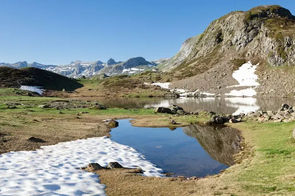
Straddling France, Spain, and Andorra, the Pyrenees present a more layered picture than many people assume. In recent decades, the snowpack in the Pyrenees has tended to decrease due to a rise in average temperature and precipitation variability. That decline has real economic weight, since this trend has impacted sectors such as snow tourism, hydroelectric power generation, and water resources management.
The range’s glaciers illustrate just how far the retreat has gone. By the end of 2023, the Pyrenees had only 15 ice bodies and a total ice area of 143.2 hectares, a significant decrease compared to 2011 (27 ice bodies, 3.02 square kilometers) and 2020 (24 ice bodies, 2.38 square kilometers). Lower-elevation slopes have felt the sharpest swings, with resort operators in early 2024 reporting temperatures that soared far above seasonal norms and forced early closures.
The Hindu Kush Himalaya
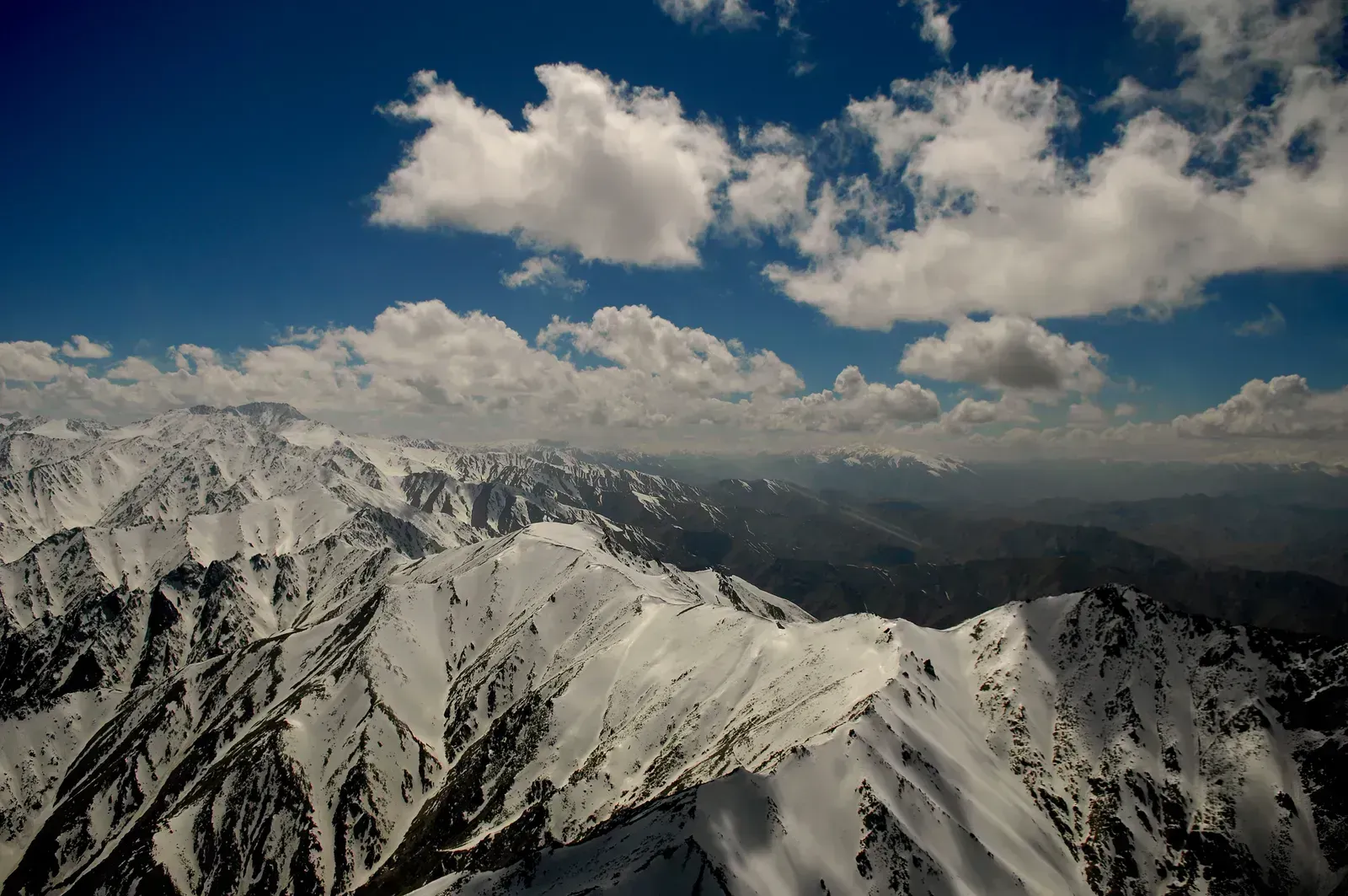
This vast range stretching across Afghanistan, Pakistan, India, Nepal, and beyond has become one of the most closely watched snow systems on the planet, and the recent numbers are stark. Snow persistence over the Hindu Kush Himalaya region between November and March was 23.6% below normal levels, a record low in the last 23 years, marking the third consecutive year of below-normal seasonal snow across the region. Some sub-basins have fared even worse, with the snow persistence in the Ganga basin registering 24.1% below normal, the lowest in the past 23 years, compared to 30.2% above normal in 2015.
The Mekong side of the range has taken the hardest hit of all. Reports reveal the most alarming decline in snow persistence is in the Mekong region, with a 51.9% decline. Because snowmelt contributes about 23% of the total yearly water flow in major river basins across the region, the shortfall carries consequences well beyond the mountains themselves.
The Andes
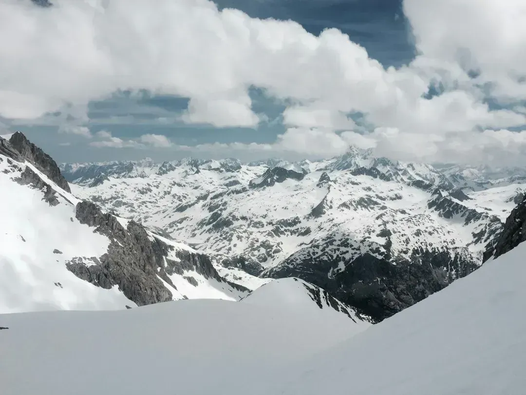
South America’s spine shows some of the clearest snow-cover losses documented anywhere. Research spanning hundreds of catchments found that in the Andes Cordillera, the snow season ends 28 days earlier, with a snow cover area reduction of about 15%, and a decrease in annual streamflow of 67 cubic meters per second. That shift in timing matters as much as the raw loss, because it changes when meltwater reaches farms and cities downstream.
Landsat imagery covering nearly four decades of the Chilean Andes has added further detail to the picture. Researchers behind that work note that snow cover is an important freshwater source in many mountain ranges around the world and is heavily affected by climate change, often leading to reduced overall snow cover availability and duration as well as shifts in seasonality. Broader reviews of the region confirm the pattern is not isolated to one valley but appears across multiple Andean catchments studied since the early 2000s.
The Rocky Mountains
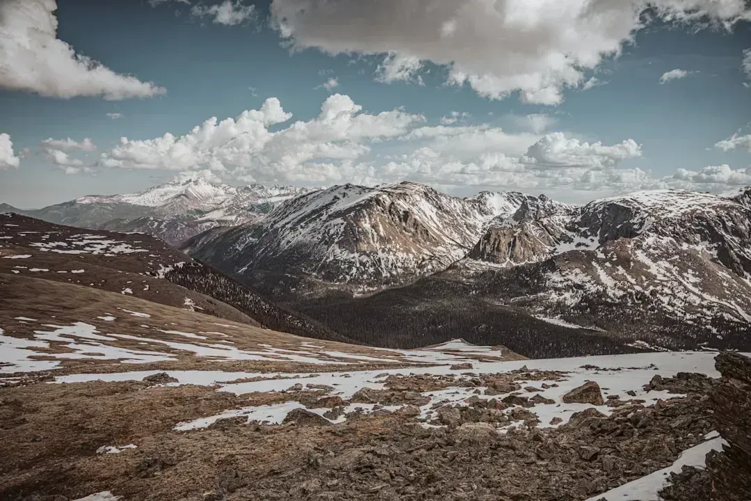
Snowpack across the interior American West has grown noticeably patchier and less reliable this decade, particularly in the southern and central Rockies. Drought monitoring through 2025 repeatedly flagged the same trouble spots, noting that the worst snow drought conditions continue to be in the Southwest, including southern Utah, southwestern Colorado, Arizona, and New Mexico. Basin-level readings backed this up, with the Upper San Juan, Rio Grande Headwaters, and Gunnison Basins sitting at 56%, 62%, and 82% of normal snow water equivalent respectively.
The following winter showed little improvement. By late 2025, monitors reported that snowpack is generally below median in the central Rocky Mountains, with the worst conditions in central and northern Utah and Colorado. Warm spells compound the problem, since a spring heat wave in early 2025 was described as accelerating snowmelt during the last week of March across parts of the range.
The Sierra Nevada
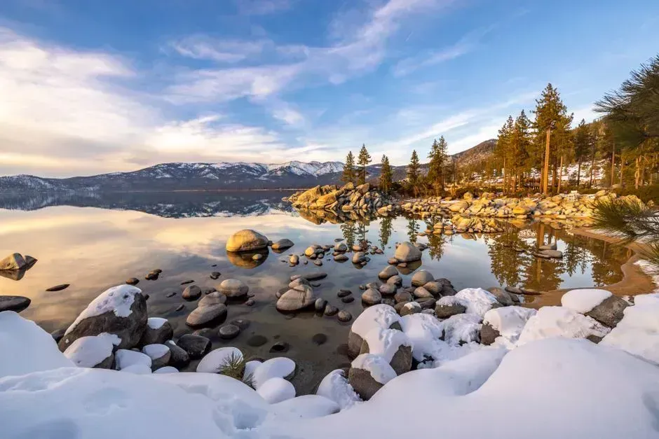
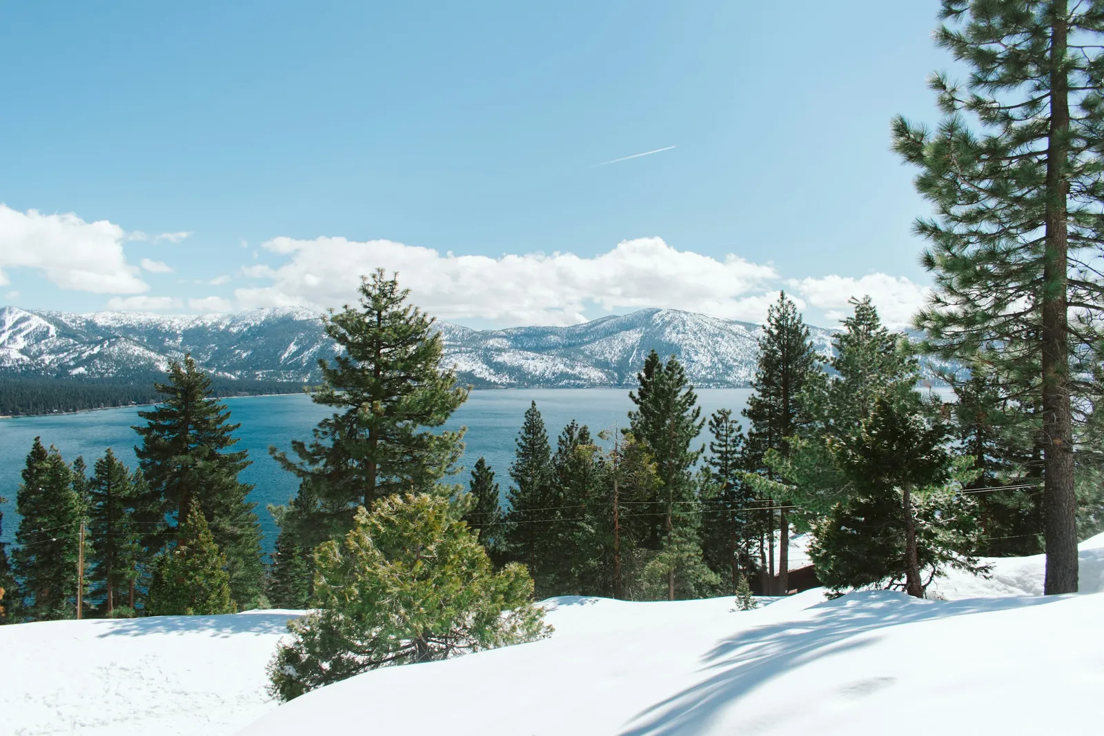
California’s Sierra Nevada tells a story of increasing volatility layered on top of a longer-term decline. During the 2024 to 2025 season, reporting noted that the central and southern Sierra experienced below-average snow this season, especially at lower elevations, even as northern parts of the range fared better. Around Lake Tahoe specifically, areas accumulated one-half to three-quarters of their typical seasonal snowfall, including at Palisades Tahoe and Heavenly ski resorts.
Meteorologists pointed to a familiar culprit behind the shortfall. One water expert explained that the early February storms just brought a lot of rain to the lower elevations in the Sierra Nevada that would often get snowfall. Another added that gaps between storm systems left room for melt, noting there’s been quite a bit of time between the storms this year, and we’ve seen a lot of midwinter melt between them. NASA imagery over the past two decades from its World of Change series has documented similar year-to-year swings layered over a gradual downward trend in reliable snow depth.
The Cascade Range
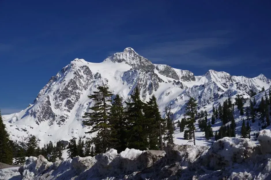
The Cascades of Washington and Oregon have shown some of the most persistent snow drought conditions of any range in the western United States this decade. Federal drought monitoring flagged the issue repeatedly, noting in early 2025 that snow drought conditions also persist in the northern and central Cascade Range of Washington. That followed a pattern seen the previous winter, when officials observed that an active weather pattern across the Cascade Range and Sierra Nevada in November buffered snowpack conditions despite a recent multi-week dry spell.
The Cascades occupy a delicate thermal zone, sitting close enough to the Pacific that small temperature shifts easily flip precipitation from snow to rain. This makes the range especially sensitive to the kind of warming trends now well documented across western mountain systems, where the western U.S. has experienced declining snowpack, earlier snowmelt and streamflow, and a shift toward less precipitation falling as snow since the mid-20th century. Water managers in the Pacific Northwest continue to monitor the range closely, since its snowpack underpins irrigation, hydropower, and fisheries across the region. Snowfall decline is not uniform across every elevation or every valley, and a handful of high-altitude pockets have actually held steady or even gained slightly, as researchers noted in parts of the Pyrenees above 2,000 meters. Still, the pattern across these seven ranges is consistent enough that hydrologists, ski resort operators, and farmers downstream are all adjusting their expectations for what a normal winter now looks like.

- 7 Mountain Ranges Where Snowfall Has Measurably Decreased This Decade - September 15, 2026
- The Top 13 Animal Species That Consistently Live the Longest Lives - September 15, 2026
- South America Sees 7 Animal Species Rebound After Years of Decline - September 14, 2026
