
Every year between June and November, tens of millions of Americans watch the tropics with a mix of routine and dread. The 2026 Atlantic season has followed a familiar script so far: forecasters expected a quieter year, then reminded everyone that quiet doesn’t mean safe. Whether you’re weighing a move, worrying about your current zip code, or just curious about where the real danger zones sit on the map, the geography of hurricane risk has never been more measurable, or more unevenly distributed.
This piece walks through what the 2026 season has actually looked like so far, then breaks down the places that consistently rank as the safest havens from tropical cyclones versus the ones that keep showing up at the top of every risk model insurers and emergency planners rely on.
What NOAA Actually Predicted for 2026
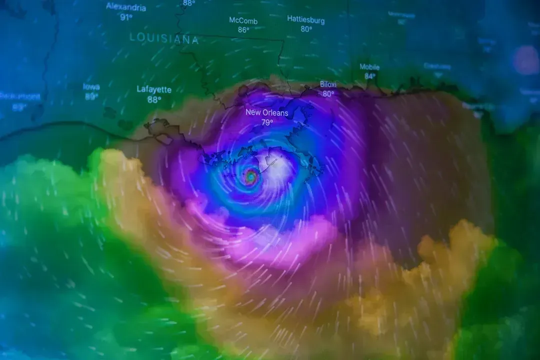
NOAA opened its 2026 outlook in May with a fairly muted tone. The agency predicted a below-average season with eight to fourteen named storms, of which three to six were expected to become hurricanes, including one to three major hurricanes of Category 3 strength or higher. That set the tone for a season many assumed would be forgettable. NOAA’s outlook gave a 35 percent chance of a near-normal season, a 10 percent chance of an above-normal season, and a 55 percent chance of a below-normal season.
By August, reality had pushed the numbers even lower. After nearly two months of below-average activity, NOAA updated its forecast, now predicting between seven and 13 storms, with two to six of those becoming hurricanes and zero to two expected to become major. NOAA raised its confidence in a below-normal season to 75 percent, well above the initial 55 percent estimate from May. Forecasters pointed to a trend toward El Niño keeping Atlantic waters slightly cooler while Saharan dust continued to suppress tropical activity. Still, officials weren’t ready to declare victory. As NOAA administrator Neil Jacobs put it bluntly, “Even though we’re expecting a below-average season in the Atlantic, it’s very important to understand that it only takes one. We have had Category 5 storms make landfall in the past during below average seasons.”
Why a “Quiet” Season Still Feels Risky
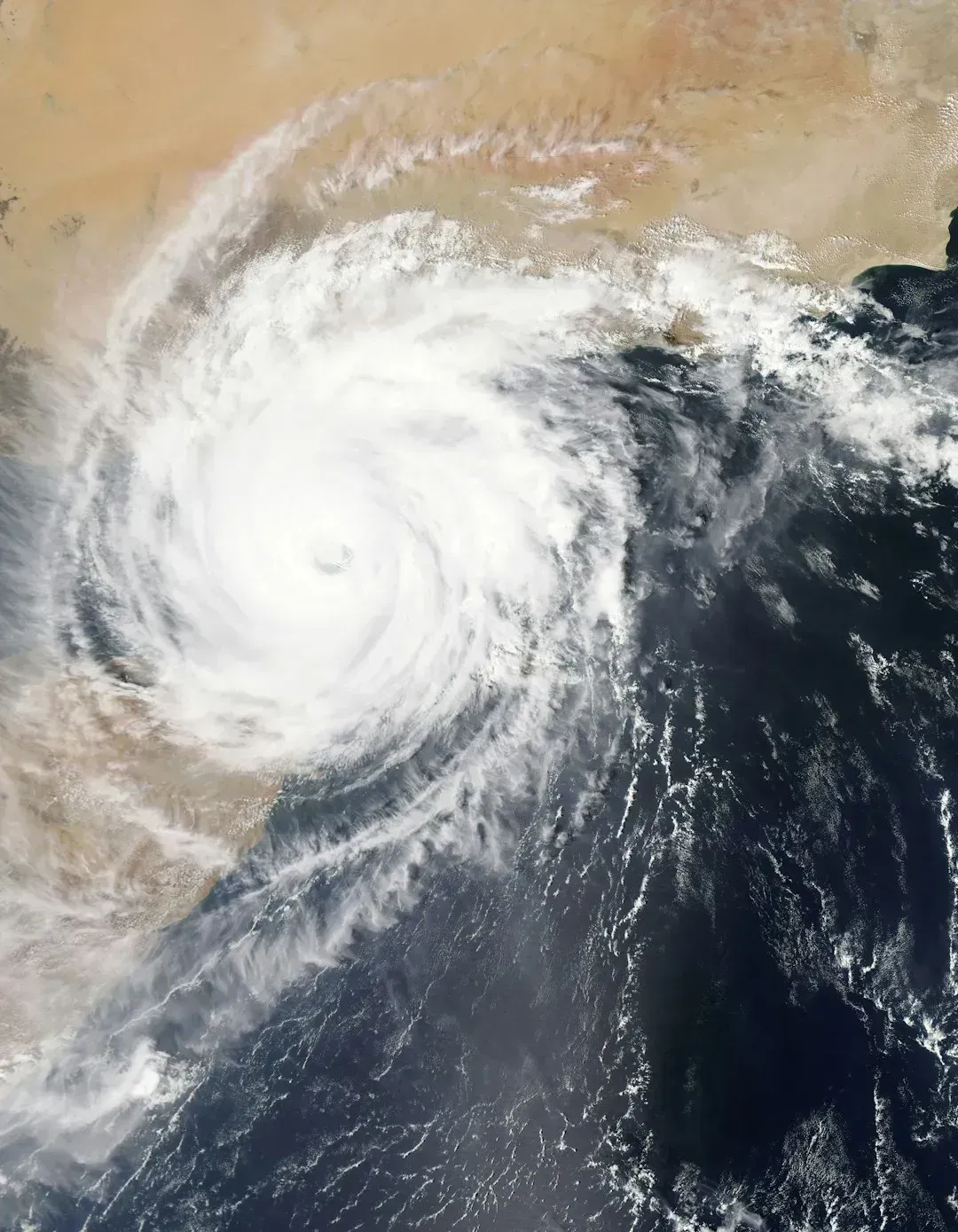
The El Niño pattern driving this year’s suppressed activity doesn’t distribute its effects evenly. On the West Coast, the effect goes in the other direction, since warmer Pacific waters during an El Niño help tropical storms and hurricanes in the Pacific develop and stay fully structured. Meanwhile in the Atlantic basin, the mechanism works differently. El Niño increases wind shear, which tends to prevent tropical storms from forming or from getting stronger once formed.
That’s a statistical tailwind, not a guarantee. Below-average seasons have produced some of the most devastating individual landfalls in U.S. history, which is exactly why emergency managers keep repeating the same message regardless of how the numbers look on paper. A single slow-moving Category 4 hitting the wrong stretch of coastline can do more damage than an entire “active” season of storms that stay offshore. The number of storms is a headline; where they go is what actually matters to the people in their path.
The Inland Florida Advantage
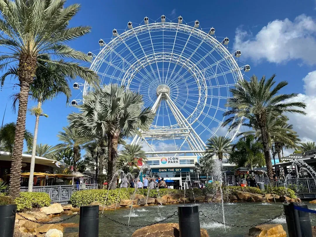
Florida takes the brunt of American hurricane exposure, but the state isn’t uniformly dangerous. Orlando stands out as one of the safest large cities from hurricanes, thanks to its landlocked position which weakens storms before they arrive, and most hurricanes impacting Orlando have not surpassed Category-2 intensity. The same inland buffer benefits several other Central Florida communities that have become magnets for people trying to stay near Florida’s economy and climate without sitting directly in a storm’s crosshairs.
The safest places to live in Florida from hurricanes are generally inland areas in North and Central Florida, where cities like Ocala, Gainesville, and Lake City sit 50 to 200 feet above sea level and remain largely shielded from coastal storm surge. Ocala in particular has built a reputation around this. Ocala rests approximately 100 feet above sea level in Marion County and carries some of the lowest homeowners insurance premiums in the state, routinely below the statewide average of $3,600 to $5,000 per year. That insurance gap is not a small detail. In a state where premiums have become a genuine financial burden for coastal homeowners, elevation and distance from the Gulf translate directly into dollars saved every year.
Lake City, Leesburg, and the Quiet North-Central Corridor
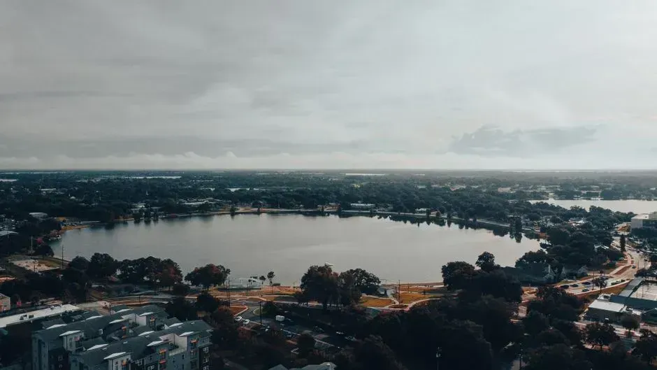
A cluster of smaller North-Central Florida towns rarely gets national attention, yet they consistently score at the bottom of hurricane risk indexes. Lake City sits in north-central Florida where I-75 and I-10 meet, and it has super low risks for hurricanes, tropical storms, and flooding. Nearby, Leesburg gets perfect zero scores for hurricanes and tropical storms, plus it has low flood risk, sitting about 45 miles northwest of Orlando in a city that has become popular with retirees seeking peace of mind.
Palatka, a smaller riverside town in Northeast Florida, follows the same pattern. Located away from the coast, Palatka is less frequently affected by severe hurricane activity, giving it a relatively low hurricane risk compared to coastal communities. None of these towns are hurricane-proof, and none of the residents there would tell you otherwise. What they offer is a meaningfully lower probability of a direct, high-intensity hit, along with the practical benefits that come with that, like lower insurance costs and less frequent evacuation stress.
Tallahassee and the Panhandle Caveat
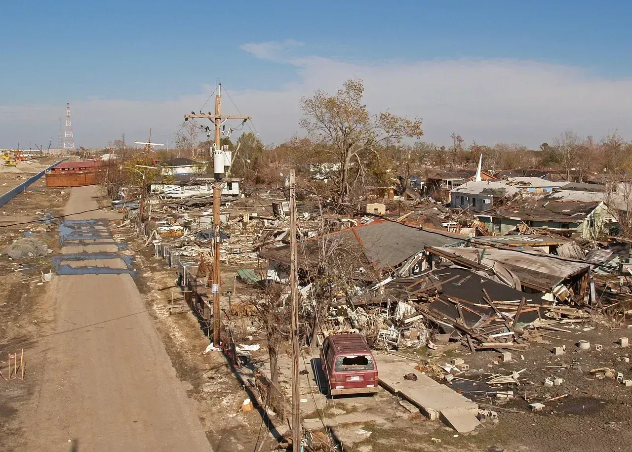
Not every inland city is equally protected, and Tallahassee is a useful reminder of that nuance. Tallahassee is far enough from the coast that storm surge isn’t a direct threat, though it sits in the Florida Panhandle, where storms tracking from the Gulf can still deliver serious wind damage. The 2018 season proved this the hard way. Hurricane Michael in 2018 reminded the Panhandle that no inland city is untouchable.
Ocala offers a cleaner comparison point. Ocala, about 85 miles north of Orlando, shares similar geography with elevated terrain and real distance from the coast, and both cities have been largely spared from direct major hurricane landfalls over the past several decades, though no Florida city can claim total immunity from tropical impacts. The lesson across all of these examples is the same: distance from the coast reduces storm surge risk dramatically, but wind, rain, and inland flooding can still follow a hurricane a hundred miles or more from where it made landfall.
Miami and Key West: The Highest Probability Targets
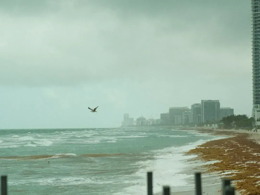
On the opposite end of the spectrum sit South Florida’s coastal cities, and the numbers back up their reputation. Miami and Key West each carry a 16 percent annual probability of hurricane impact, the highest among major U.S. cities, with Key West directly impacted by a hurricane on average every six years. That statistic alone makes South Florida the highest-probability region in the continental United States for a direct hurricane strike in any given year.
The financial exposure matches the physical risk. Miami has approximately 791,775 properties at risk from a Category 5 storm, with a potential reconstruction cost value of 158 billion dollars, and an annual probability of hurricane impact estimated at 16 percent, with a direct strike occurring on average every six to eight years. Few other American metro areas combine this much population density, property value, and storm frequency in one place. It’s a large part of why Florida’s property insurance market has been under such sustained strain in recent years.
Tampa Bay’s Funnel Problem
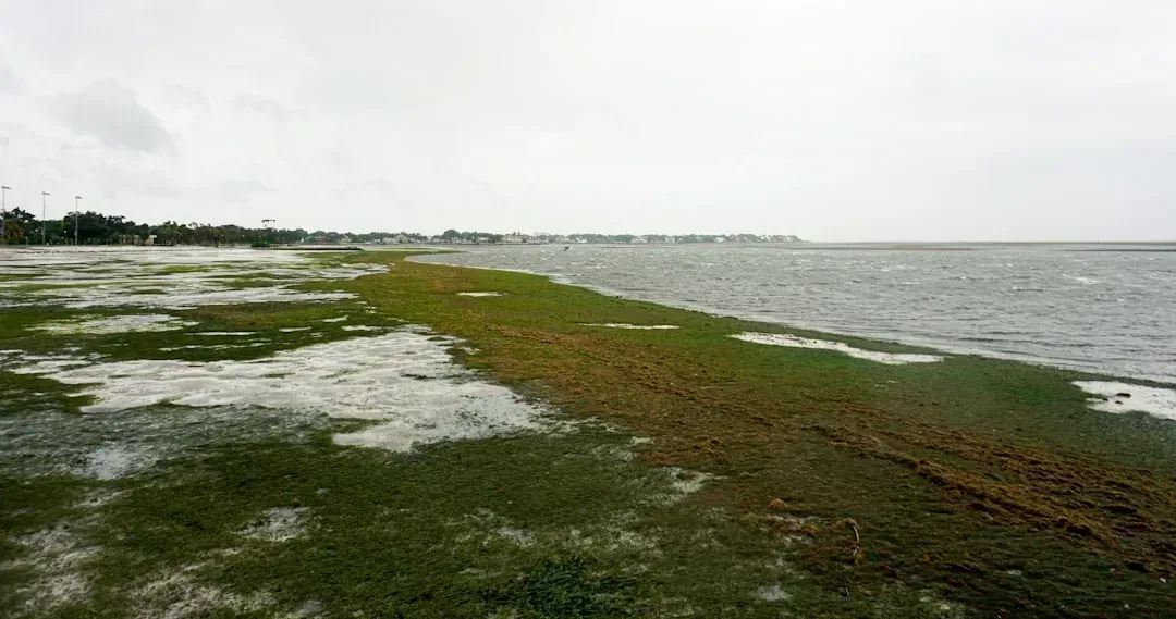
Tampa presents a slightly different kind of danger, one rooted in geography rather than raw storm frequency. Tampa has an estimated 11 percent annual probability of hurricane impact, and the city’s location at the top of a funnel-shaped bay is associated with increased storm surge exposure. That funnel shape means water gets pushed and compressed as it moves up the bay, amplifying surge heights in ways that flatter, more open coastlines don’t experience to the same degree.
The scale of exposure is striking. Tampa has approximately 465,644 properties at risk, with a potential reconstruction cost of 84 billion dollars. Tampa Bay has gone decades without absorbing a direct major hurricane hit, which sounds reassuring until you remember that a long quiet stretch simply means the bay’s flood defenses and evacuation routes have never actually been tested by the storm the topography is built to funnel straight at it.
New Orleans and the Long Memory of Storm Surge
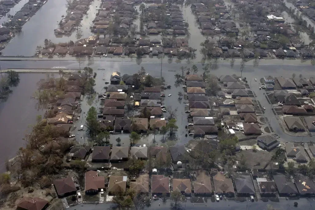
No American city carries the symbolic weight of hurricane vulnerability quite like New Orleans, and the data still justifies the reputation two decades after Katrina. New Orleans has approximately 399,403 properties at risk, with a potential reconstruction cost of 101 billion dollars. Its annual odds of a direct hit are lower than Miami’s, but not by a comfortable margin. New Orleans sits at an 11 percent annual probability of hurricane impact, with a hurricane making landfall within 50 miles on average every seven to 11 years.
What makes New Orleans distinct from Tampa or Miami is elevation. Large sections of the city sit below sea level, protected only by a levee and pump system that has been rebuilt and reinforced since 2005 but still depends on infrastructure holding under extreme pressure. It’s a city where the risk isn’t just about wind speed or storm frequency, it’s about what happens to water that has nowhere natural to drain once it arrives.
New York and the Underestimated Northeast Risk
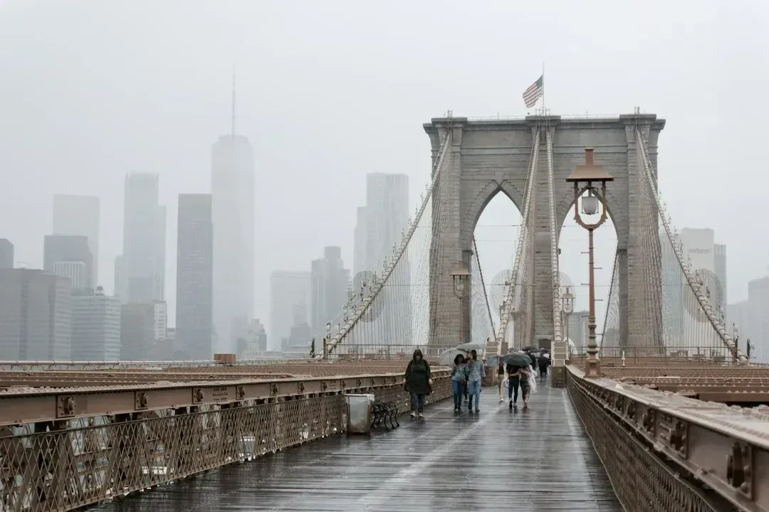
It’s easy to think of hurricane risk as a Gulf Coast and Florida problem, but the Northeast has its own painful history. New York has approximately 731,137 properties at risk, with a potential reconstruction cost of 283 billion dollars, and its vulnerability is largely linked to storm surge, as demonstrated by Hurricane Sandy in 2012, which caused an estimated 19 billion dollars in damage to the state. That reconstruction figure is the largest of any city in these risk assessments, driven by the sheer density and value of property packed into a relatively small, low-lying coastal footprint.
Sandy remains the cautionary tale for the entire Northeast corridor. It wasn’t even a hurricane at landfall, having weakened to a post-tropical cyclone, yet its size and surge overwhelmed infrastructure that had never been designed with a storm of that scale in mind. The lesson for cities from Virginia Beach up through Boston is that hurricane risk doesn’t require a Category 4 or 5 label to produce billions in damage. It just requires the right track, the right tide, and a coastline that was built assuming this kind of storm was rare.
Beyond Florida: The Truly Low-Risk Interior Cities
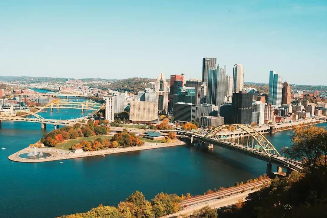
If your priority is minimizing hurricane exposure entirely rather than just choosing the least risky corner of a hurricane-prone state, the safest options sit well inland, far from any Gulf or Atlantic coastline. Pittsburgh’s hilly topography provides natural drainage that reduces flood risk compared to flat river cities, and the city is far from major fault lines, wildfire zones, and hurricane corridors, with only localized flash flooding in steep valleys keeping its overall disaster risk among the lowest in the nation.
Buffalo tells a similar story, just with a different regional hazard trade-off. Buffalo’s reputation for lake-effect snow is well-earned, but snow is a known, manageable risk, and the city faces virtually zero earthquake, wildfire, hurricane, and tornado threats thanks to its location on Lake Erie, which provides stable weather patterns without the extreme events that plague coastal cities. Cities like these won’t ever face a hurricane evacuation order, though residents trade that safety for other regional quirks, whether that’s Pittsburgh’s occasional flash flooding or Buffalo’s snowfall totals that can bury a driveway in a single afternoon.
What This Actually Means for Anyone Weighing the Risk
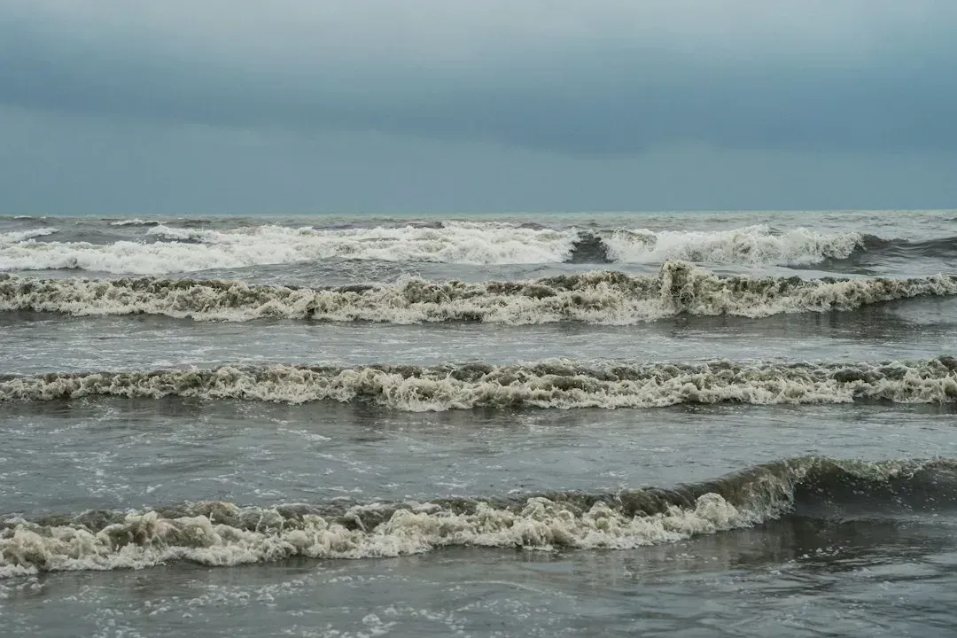
The pattern across all of this data is consistent even if the specific numbers vary by source and methodology. Coastal exposure, low elevation, and funnel-shaped or narrow bays consistently produce the highest hurricane risk, while inland elevation and distance from open water consistently produce the lowest. Miami, Key West, Tampa, New Orleans, and New York anchor the high-risk end of that spectrum for very different structural reasons, while Ocala, Gainesville, Lake City, Leesburg, and non-coastal cities like Pittsburgh and Buffalo anchor the low-risk end.
None of this eliminates the human factor. A below-average season forecast, like the one NOAA has maintained for most of 2026, can create a false sense of security in places that statistically face lower odds but are far from immune. The safest strategy isn’t just picking a low-risk zip code, it’s pairing that location choice with genuine preparedness, because as NOAA’s own leadership keeps reminding the public, every season only needs one storm in the wrong place to turn a quiet year into a historic one.

- 10 Reasons This Winter Isn’t Shaping Up Like Meteorologists Predicted - September 23, 2026
- 11 Household Items That Have Surprisingly Useful Second Lives - September 23, 2026
- The Safest vs. Riskiest Places to Live During Hurricane Season in 2026 - September 22, 2026
