

We’re standing at an interesting crossroads when it comes to extreme weather predictions. Artificial intelligence like ChatGPT can process decades of climate data, research studies, and forecasting models in seconds. So I decided to dig deeper and see what both AI projections and actual scientific research reveal about which American states face the most brutal storms in the coming decades. What I found was both fascinating and honestly a little unsettling.
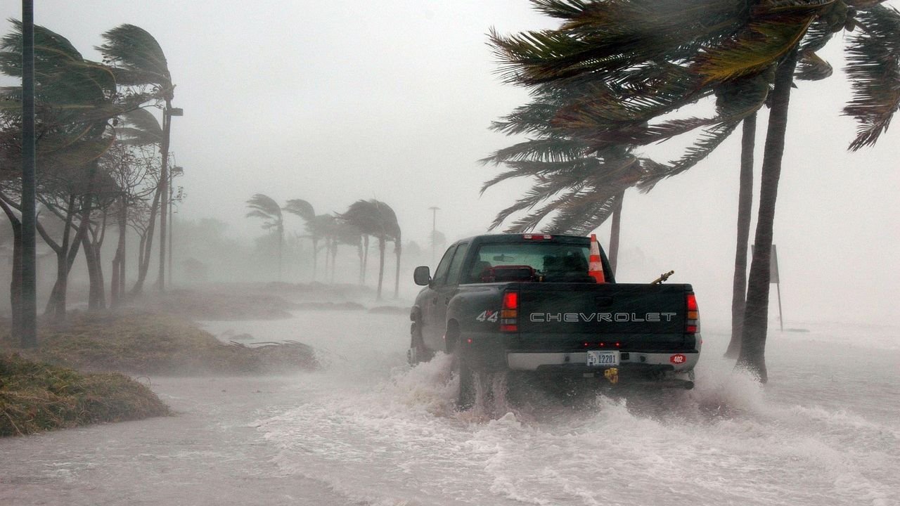
Florida Tops The List For Hurricane Intensity
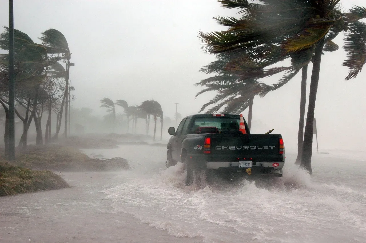
Florida experiences the most hurricanes in the U.S. overall, with a total of 120 hurricanes from 1851 to 2022, and Gulf Coast states like Florida, Texas, and Louisiana remain the most susceptible to hurricanes. Research indicates that greenhouse warming will likely cause hurricanes in the coming century to be more intense globally and have higher rainfall rates than present-day hurricanes. The Sunshine State isn’t just dealing with frequency, it’s staring down the barrel of stronger, wetter storms that’ll pack more punch than anything we’ve seen before. Since 1850, all of Florida’s coastline has been impacted by at least one hurricane, with the southeast coastline being extremely susceptible to land-falling hurricanes, followed by the panhandle.
Texas Faces A Perfect Storm Of Multiple Threats
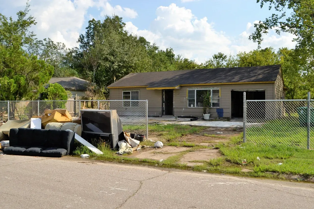
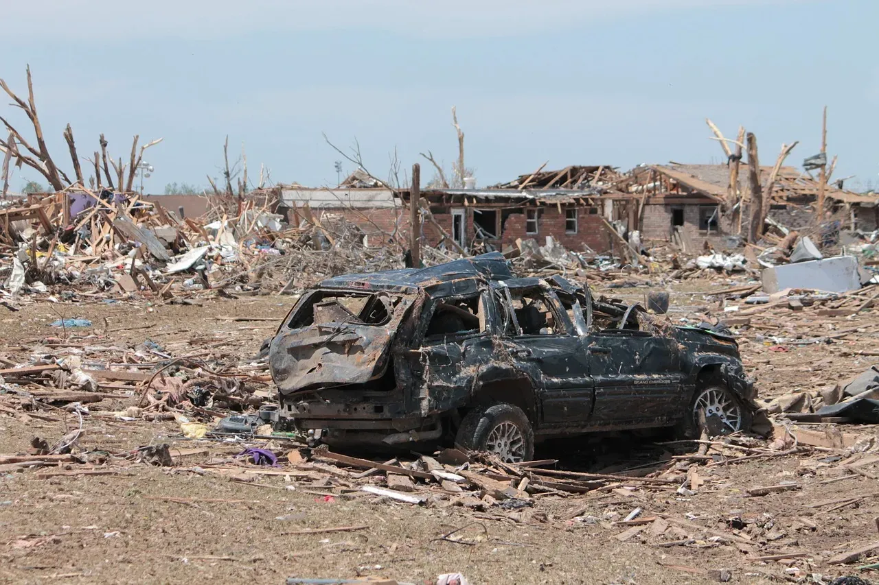
Texas takes the top spot for the state most prone to natural disasters, with Hurricane Harvey in 2017 being described as the worst natural catastrophe in its history. Here’s the thing about Texas that makes it uniquely vulnerable: it’s massive. The state faces contrasting disaster risks with the Gulf Coast experiencing hurricanes and flooding, while northern regions are prone to tornadoes and severe thunderstorms, and the vast size means vulnerability to a wide range of disasters from wildfires in the west to ice storms in the panhandle. The sheer diversity of extreme weather threats means Texans need to prepare for just about everything. FEMA’s National Risk Index ranks Texas as one of the highest-risk states for natural disasters.
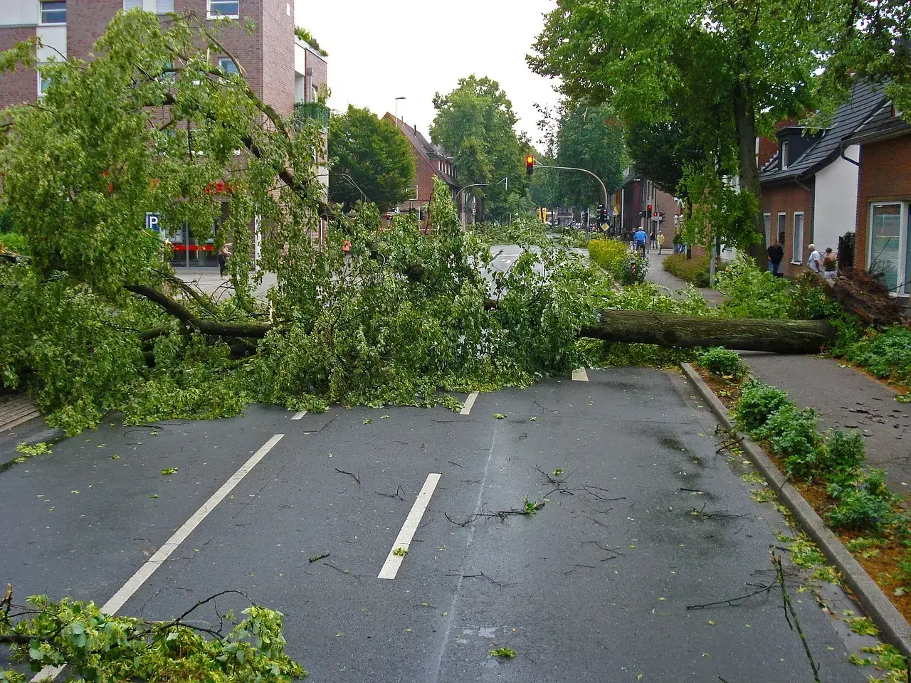
Tornado Alley Is Actually Shifting Eastward
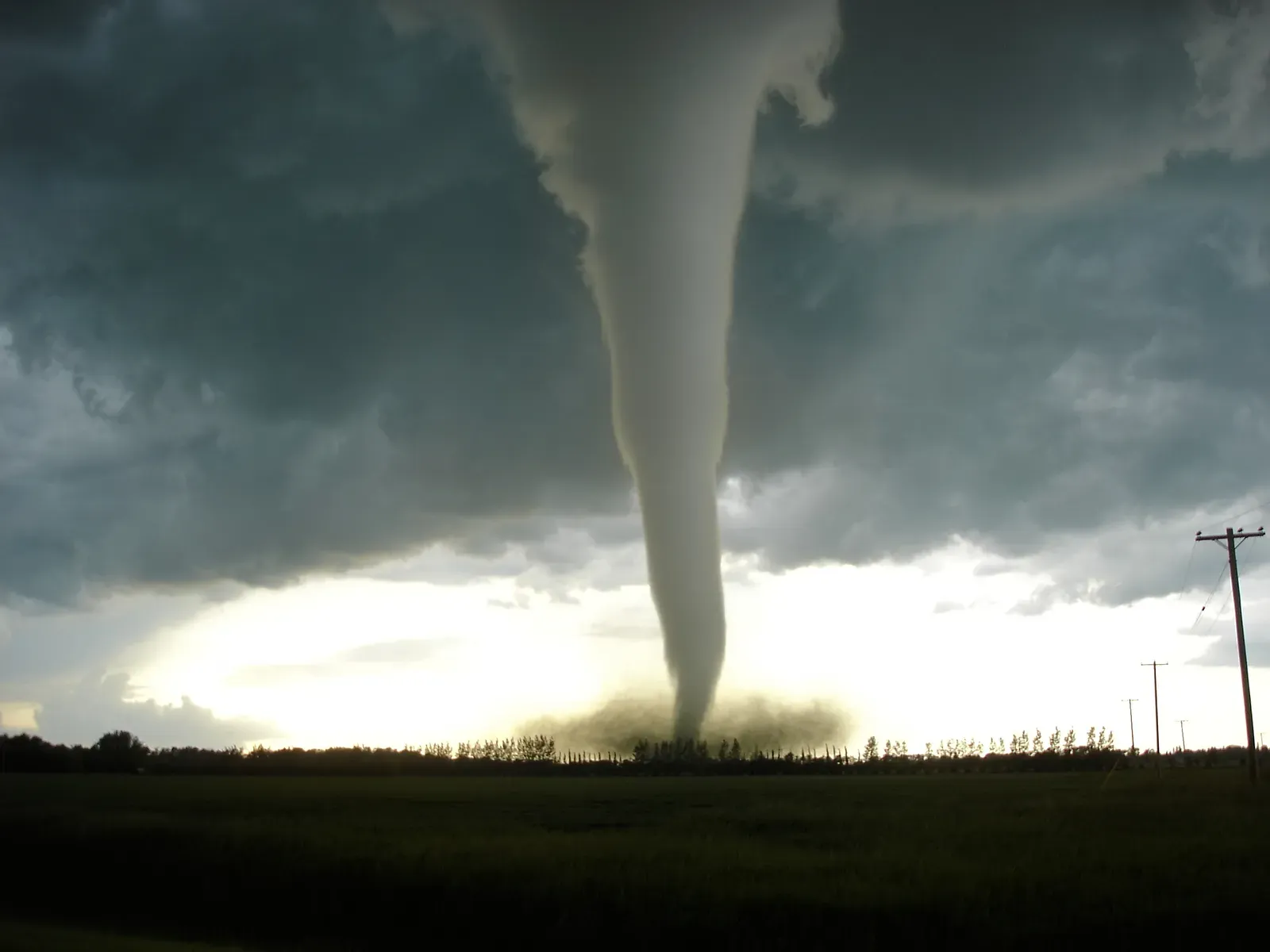
This one surprised me when I started researching. Drier conditions in the Great Plains, coupled with increased moisture in the Southeast, is shifting tornado activity away from states like Texas, Oklahoma, and Kansas, with scientists attributing this shift to the east to climate change. States like Tennessee, Arkansas, Mississippi, and Alabama are seeing increased tornado activity. Tornado activity in the western part of the country decreased by 25% between 1951-1985 and 1986-2020, while tornado activity in the eastern United States increased by 12% during that same time. The so-called “Dixie Alley” is becoming the new danger zone, and frankly, many communities there aren’t as prepared as their Great Plains counterparts.
The Southeast Faces Deadlier Tornado Threats
Tornado shelters are common in Texas and Oklahoma but less so in the Southeast, which is more densely populated with more mobile homes that fare poorly in windstorms, and tornadoes in the Southeast occur at night more often, with studies showing that tornadoes striking at night are 2.5 times more likely to cause fatalities. The combination of factors creates a recipe for higher death tolls. Areas west of I-35, Oklahoma, Kansas, the Dakotas, eastern Colorado and west Texas will slightly decline in tornado threats, while those in the mid-South are at 25% greater risk.
California’s Wildfire And Coastal Storm Reality
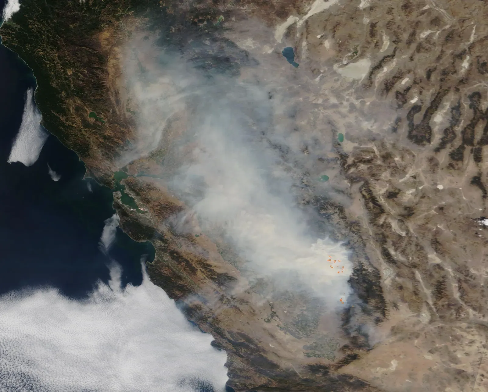
Rising temperatures in California are causing more frequent and severe extreme weather events, including heat waves, droughts, wildfires, and storms, as well as more variable precipitation and sea level rise. California represents a different kind of storm threat altogether. The area burned by wildfire in California has dramatically increased in recent years, with 2020 and 2021 being the two most destructive wildfire seasons on record with a combined 7 million acres burned, and 15 of California’s 20 most destructive fires on record occurring since 2015. While hurricanes don’t strike the West Coast, the combination of atmospheric rivers, severe winter storms, and wildfire conditions creates its own version of extreme weather hell.
North Carolina And The Atlantic Coast Vulnerability
North Carolina has been hit by 55 hurricanes since 1851, making it the third most hurricane-prone state in the U.S. and the most hurricane-prone state that doesn’t border the Gulf of Mexico. What makes North Carolina particularly interesting is that it catches storms from multiple angles. The state’s geography means it’s exposed to both Atlantic hurricanes traveling up the coast and storms that loop back around from the Gulf. Hurricane Beryl in 2024 was the earliest category 5 hurricane on record, fueled by exceptionally warm ocean waters, showing how quickly conditions can deteriorate.
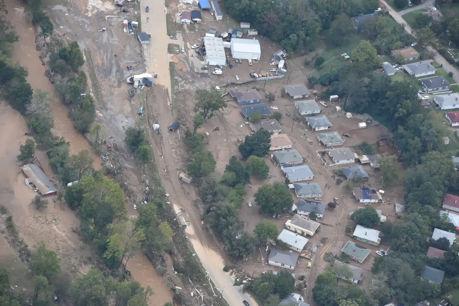
The Great Lakes Region And Extreme Precipitation
The increase in extreme precipitation is one of the clearest changes in climate observed in the Great Lakes region, with the most intense precipitation events becoming stronger and more frequent, and the amount of precipitation falling in the most intense 1% of precipitation events increasing by 42% in the Midwest from 1958 through 2016. We’re talking about storms that dump incredible amounts of water in short periods. The annual cost of maintaining Midwestern bridges may reach $400 million by the year 2050 due to the projected increase in scour damage from extreme precipitation.
Oklahoma’s Declining But Still Significant Risk
Oklahoma is part of Tornado Alley, making it one of the most tornado-prone states in the country, with the state also experiencing severe thunderstorms, hailstorms, and flooding. Even though tornado frequency might be declining slightly in traditional Tornado Alley, Oklahoma still faces serious threats. Tornado activity hit unprecedented lows across large parts of Oklahoma and Kansas from 2020 into 2021, yet the state remains a high-risk area for severe weather overall.
Arizona And The Southwest Drought-Storm Cycle
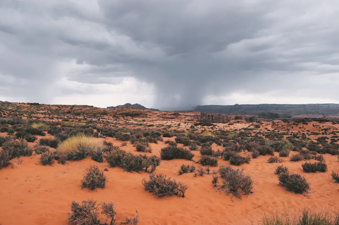
Arizona is the only landlocked state in the top-five disaster-prone states, and while protection from coastal weather keeps residents safe from some disasters, the state has been in various stages of drought since 1994, putting it at increased risk of wildfire. The Southwest faces a unique challenge where extended drought conditions create tinderbox landscapes, then intense monsoon storms can trigger flash flooding and debris flows. It’s a vicious cycle that’ll only intensify.
What Climate Models Actually Show Us
Climate change will drive more frequent and extreme summer heat waves in the western United States by the late 2020s, the Great Lakes region by the mid 2030s, and in the northern and southern Plains by the 2050s and 2070s, respectively. The modeling is remarkably consistent across different research institutions. Rising global temperatures intensify heat waves and other extreme weather, endangering people and causing billions of dollars in damage, with the 2025 temperature increase being a dangerous sign of worsening storms, heat, floods and fires. Scientists are sounding alarm bells because the pace of change is accelerating faster than earlier projections suggested.
Looking at all this research and data, one thing becomes crystal clear. The storms of 2050 won’t be distributed evenly across America. Gulf Coast states face intensifying hurricanes, the Southeast is becoming the new tornado hotspot, and nearly every region faces some version of more extreme precipitation or drought cycles. What does this mean for you personally? Well, that depends entirely on where you call home. Did the predictions match what you expected, or were you surprised by which states face the biggest threats?