
For years, a familiar shortlist of towns circulated among climate-conscious homebuyers and researchers alike. Places inland, elevated, far from hurricane corridors, far from wildfire country. The working assumption was simple: if you weren’t near a coast or a dry western forest, you were probably fine. That assumption is now under serious pressure.
Climate scientists predict an intensifying wave of hurricanes, droughts, wildfires, flooding, and sea-level rise in many places, and these disasters are already threatening and even demolishing homes. What’s less discussed is that some of the towns long celebrated as refuges are showing up in updated climate models with risk profiles that look nothing like their reputations. Here are seven of them.
Burlington, Vermont: The Flood-Prone “Safe Haven”
The Northeast has long offered better prospects, with Vermont and New Hampshire ranking as the two safest states from climate change. Vermont, in particular, has stood out as a haven free from wildfires, extreme heat, and hurricanes. That reputation drew waves of climate migrants. The reality, though, is getting complicated fast.
Vermont is now among the most flood-vulnerable states in the country. The state endured two catastrophic flooding events in the span of three years, including the Great Vermont Flood of July 2023, which devastated Montpelier, Barre, and Ludlow, and the July 2024 storms that hammered the Northeast Kingdom with up to eight inches of rain in a single 24-hour period. Washington County is now tied for the second-most disaster-prone county in America by federal disaster declarations from 2011 through 2023, and as of mid-2025, hundreds of FEMA home buyout applications were still pending from the 2023 and 2024 floods.
Pittsburgh, Pennsylvania: Three Rivers, Rising Risks
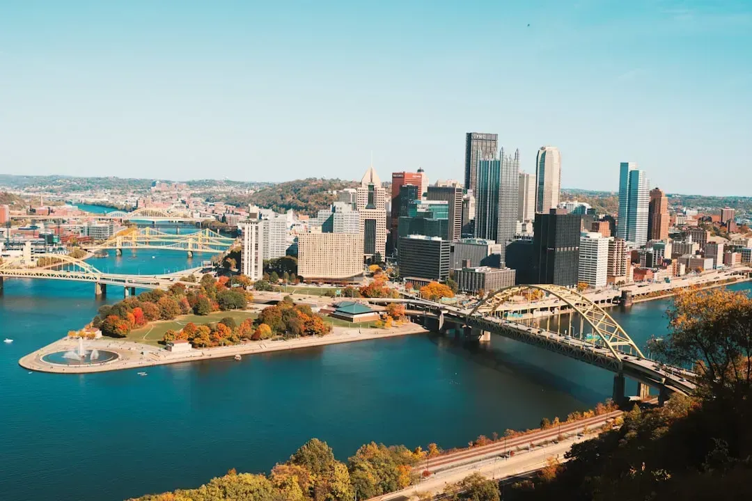
Pittsburgh has long worn its inland geography as a badge of climate safety. No hurricanes, no wildfires to speak of, and no coastline to erode. It looks reassuring on paper. The models, though, are pointing to a different story forming beneath the surface.
Situated along three rivers, Pittsburgh has a higher-than-normal share of homes that will be in 100-year flood plains by 2050, and while the increase appears modest now, it underscores the necessity for the city to start planning immediately for this continued trend in flood risk. With no hurricane or wildfire risk and a generally low tornado threat, flooding and persistently poor air quality are the main concerns, with fewer than half of measured days in recent years registering as good air quality.
Columbus, Ohio: When “Mild” Summers Stop Being Mild
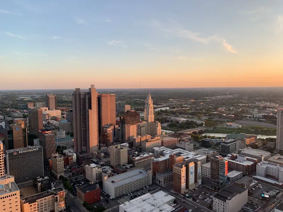
Columbus has appeared on numerous climate-resilience lists, and for understandable reasons. It sits in the middle of the country, away from coasts, with a large and diversified economy. Many climate models, though, are revising their heat projections for the city sharply upward.
The biggest risk facing Columbus residents is heat. Ohioans can expect steamier summers by 2050, with an average of 20 days of extreme heat predicted, 18 more days than they currently experience. It’s not a dry heat either: the number of days with high heat and humidity is similarly expected to climb to nearly 17 annually by mid-century, almost 15 more than today. At-risk communities in the Great Lakes and Midwest region are becoming more vulnerable to climate change impacts such as flooding, drought, and increases in urban heat islands.
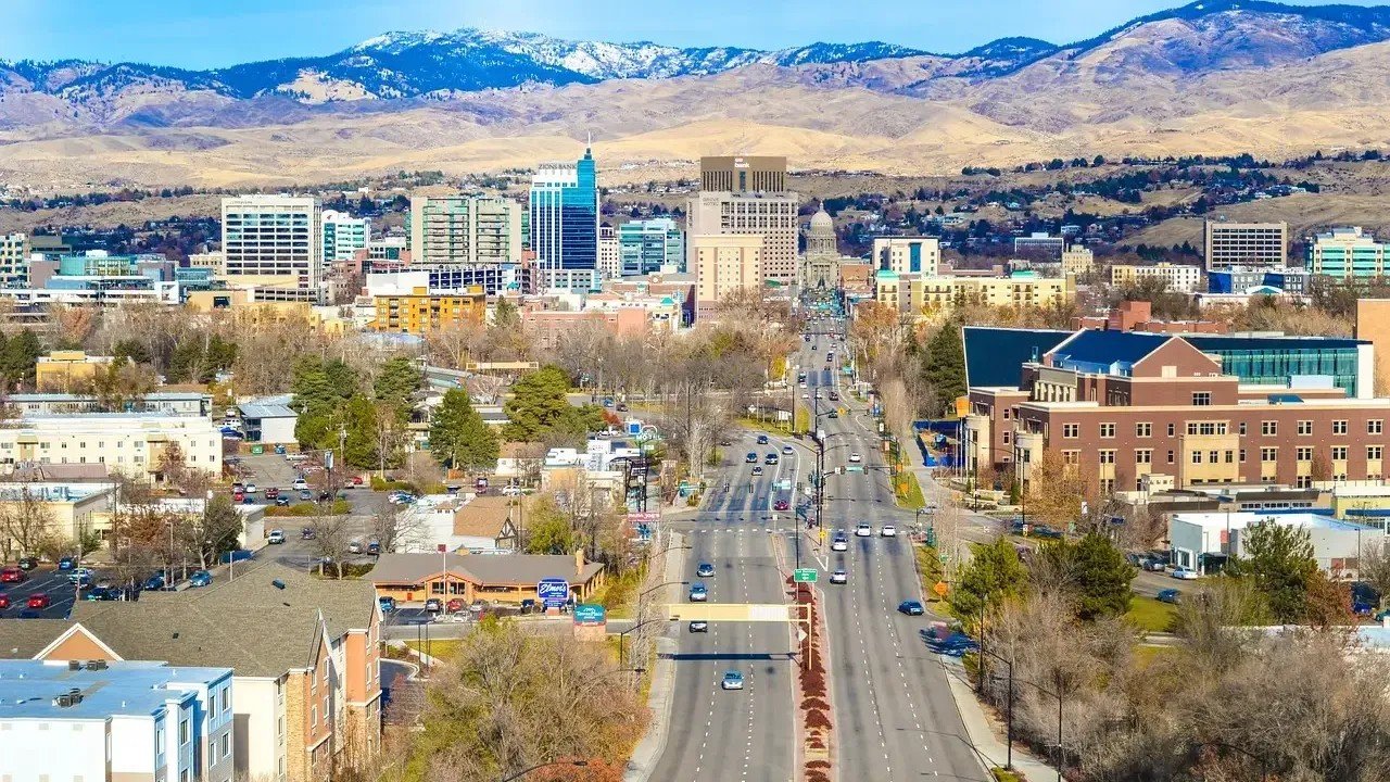
Boise, Idaho: The Geothermal City Getting Too Hot
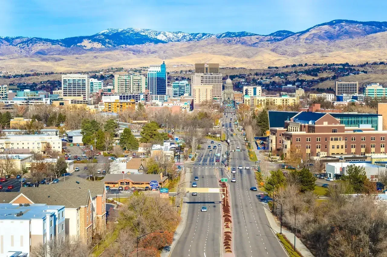
Boise earned a surprising reputation as a climate refuge, sitting well inland, with a geothermal heating system and a city government that’s taken sustainability seriously. Boise, Idaho, actually operates North America’s largest geothermal heating system, a genuine infrastructure achievement. The city has done real work. Still, the climate picture around it is changing faster than policy can keep up.
Boise now struggles with a growing number of days of extreme heat annually. Sitting at the edge of the Great Basin, the city is deeply tied to snowpack from the mountains above it, and as that snowpack shrinks with warming, water availability comes under direct pressure. Drought conditions that affect the wider American West don’t stop at city limits, and Boise’s long-term water security and fire risk from surrounding dry lands are now features that updated models can no longer ignore.
Anchorage, Alaska: Melting Ground Beneath a City
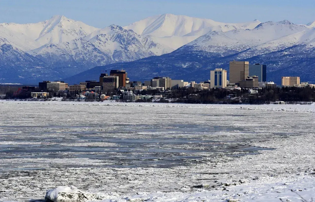
Anchorage, Alaska, tops the list among metropolitan areas in the EPA’s Climate Resilience Screening Index, thanks largely to its vast surrounding undeveloped wilderness. On that measure, it looks like the safest city in the country. Go deeper, and the picture gets more unsettling.
Anchorage is actively dealing with melting permafrost, a slow-motion crisis that threatens foundations, roads, pipelines, and the structural integrity of entire neighborhoods. Alaska’s annual temperature in 2024 was nearly 3 degrees Fahrenheit above the long-term average, ranking among the warmest periods in the 100-year record for the state, with much of the region running above average across all 12 months. What once made the city seem insulated from climate risk is now the very mechanism delivering it.
Green Bay, Wisconsin: Great Lakes Turbulence
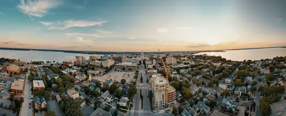
Green Bay adopted a clean energy plan in 2024 aiming for 100% clean energy and carbon neutrality by 2050, with 2030 targets focused on improved building efficiency, cleaner electricity, and lower transportation emissions. That’s an ambitious and real commitment. The problem is that the Great Lakes region surrounding Green Bay is being reshaped by climate at a pace that makes municipal planning feel perpetually reactive.
In 2024, the Great Lakes recorded the lowest average winter ice cover on record, at just 4.3 percent. Less ice disrupts ecosystems, worsens shoreline erosion, and damages tourism and fishing economies. Chicago and other urban areas in the Great Lakes basin may experience over 200 hours above 95 degrees Fahrenheit by the 2030s, up from just 30 hours in recent years. Green Bay, sitting on the shores of Lake Michigan’s namesake bay, faces the compounding effects of volatile water levels, intensifying storm events, and infrastructure built for a climate that no longer exists.
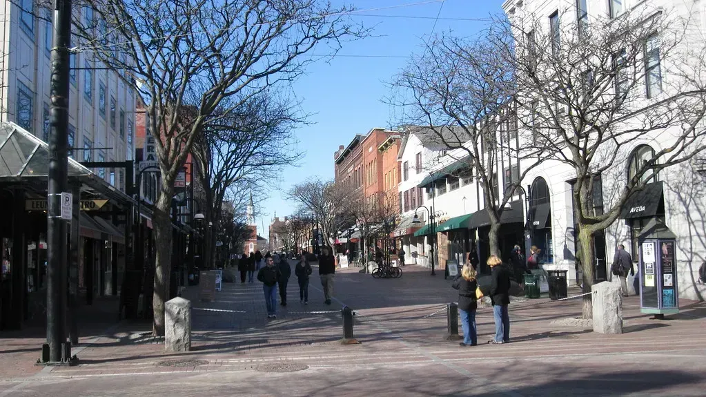
Madison, Wisconsin: Groundwater, Heat, and a Changing Identity
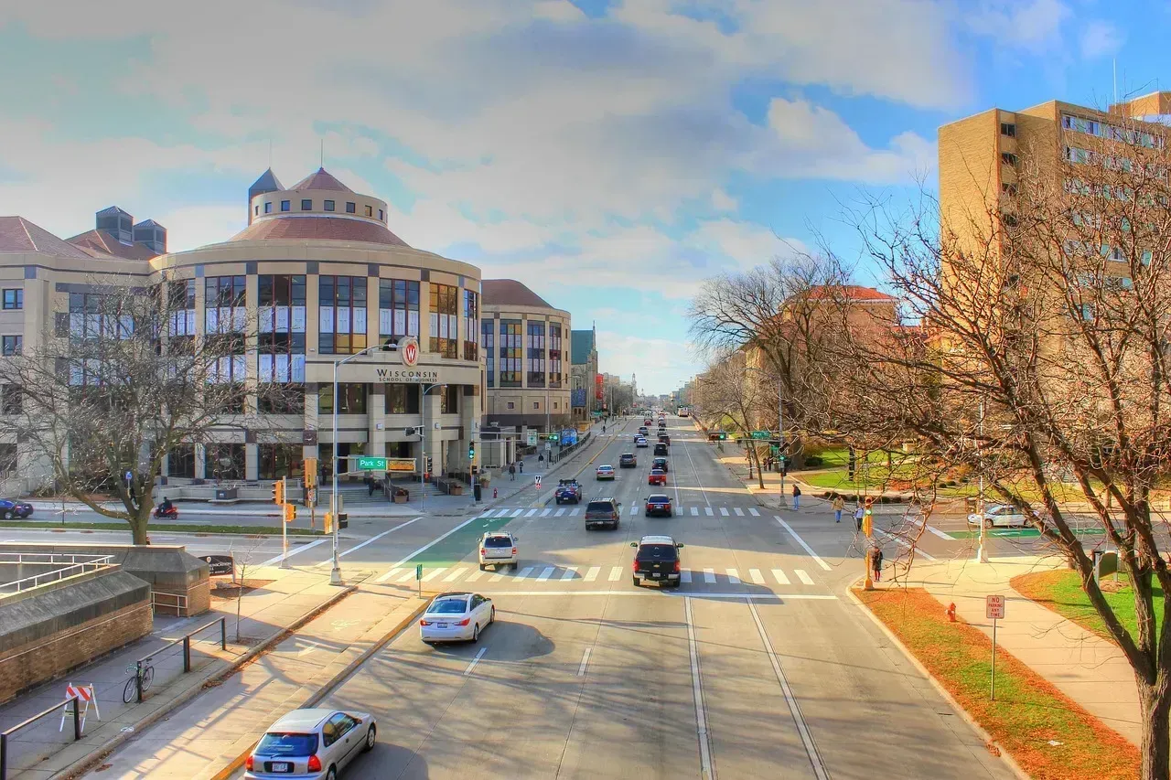
Madison has genuinely invested in its climate future. The city council voted unanimously to adopt its 2024 Sustainability Plan, which aims to cut climate pollution and improve residents’ well-being across 24 goals covering housing, resilient infrastructure, renewable energy, sustainable transportation, clean water, zero waste, healthy ecosystems, and a green economy. Few mid-sized American cities have planned more seriously or more publicly.
Higher temperatures, more variable precipitation patterns, and changes in lake levels in the Great Lakes region will likely increase vulnerability to extreme events including flooding, drought, heat waves, and more intense urban heat island effects, compounding existing stressors such as deteriorating infrastructure. Warming temperatures are worsening harmful algal blooms, and heavier rains are increasing runoff from farms and cities that feed those blooms, while severe storm events are causing more combined sewer overflows, basement sewage backups, and neighborhood flooding. Madison’s drinking water, which comes almost entirely from groundwater, sits at the center of exactly these pressures.
In 2024, nearly half of all U.S. homes faced at least one type of severe climate risk. The towns on this list aren’t disasters waiting to happen. Most of them have serious plans, real infrastructure, and capable governance. What’s shifting is the baseline. Climate modeling now analyzes dozens of factors, from life expectancy to infrastructure spending, to assess a location’s true vulnerability, and those composite scores are telling a more complicated story than simple geography ever could. “Safe” is a moving target, and these seven towns are learning that the hard way.