

Drought used to feel like a slow, almost boring kind of disaster. Reservoirs dipped, farmers worried, and eventually rain came back. That pattern has been breaking down for a while now, and 2026 has made the shift impossible to ignore, with dry spells stacking up in places that rarely used to make the news for lack of water.
Curious how an AI model would sort through all the noise around this topic, I asked Claude to walk me through which states are facing the toughest drought outlook right now and why. The answer wasn’t a simple list of the usual desert suspects. It pulled in federal drought data, climate research, and a few surprising names that don’t normally show up in this conversation.
Why I Put This Question to Claude

I wanted a clear-eyed answer, not a doom-and-gloom summary, so I framed the question around current monitoring data and recent climate trends rather than vague predictions. Claude’s response leaned heavily on the U.S. Drought Monitor, NOAA’s Climate Prediction Center, and academic vulnerability studies rather than guesswork. That mattered to me, since drought coverage online swings wildly between alarmist and outdated.
What stood out immediately was how Claude separated two different questions people often lump together: which states are in drought right now, and which states are structurally vulnerable to drought over the coming years regardless of this season’s weather. Those two lists overlap, but they aren’t identical. A state can look fine on this week’s map and still rank as fragile once you factor in aging pipes, fast population growth, or a river system that’s shrinking no matter how much it rains.
The National Picture in 2026: A Widespread and Layered Crisis
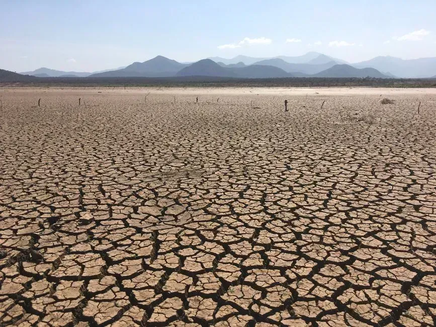
Before naming specific states, Claude framed just how unusual this year has been nationally. As of July 28, 2026, just over 40 percent of the United States and Puerto Rico and nearly half of the Lower 48 states were in drought. That’s not a static number either. Drought worsened for a third straight week in large parts of the Northern Plains and Upper Midwest around that same time.
Earlier in the year, the picture was even more severe in some respects. More than 60 percent of the United States was experiencing drought conditions in May 2026, with more than 20 percent in extreme drought. A Virginia Tech climatologist described the combination as unusual because of how both the intensity and the geographic spread lined up at once, according to Andrew Ellis, a climatologist at Virginia Tech, who said the current conditions are among the worst in decades because the combination of intensity and aerial coverage is rare.
Arizona: Caught in the Colorado River Squeeze
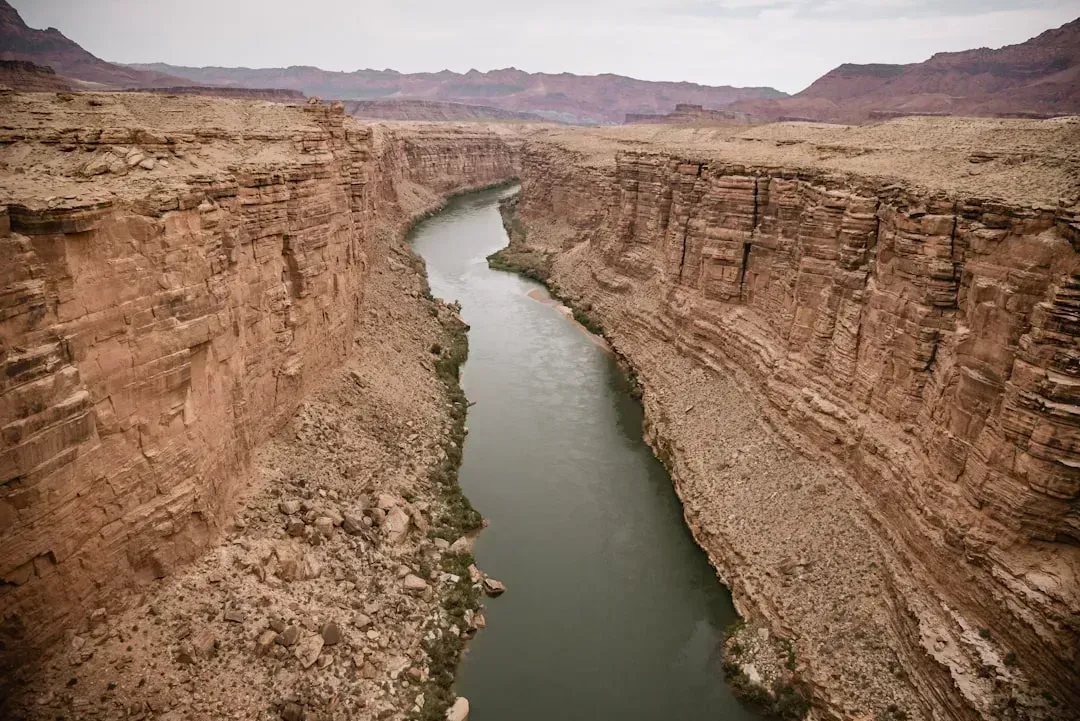
Arizona came up early in Claude’s answer, and not because of any single bad season. The state’s water math has been strained for years by its reliance on the Colorado River, and Lake Mead, the largest reservoir in the U.S., has seen drastic declines in water levels due to ongoing drought conditions and increased demand. That’s the kind of structural problem that doesn’t reverse itself in one good winter.
There was a bit of short-term relief built into the picture too. Snowfall in January and February 2026 helped ease D3 conditions in Cochise, Santa Cruz, Pinal and a few other areas, though the state is still grappling with longer-term stress. Claude was careful to point out that a wet month or two doesn’t undo a multi-year deficit, especially in a state whose growth keeps adding demand on the same shrinking supply.
Nevada: A Desert State Living on Borrowed Time
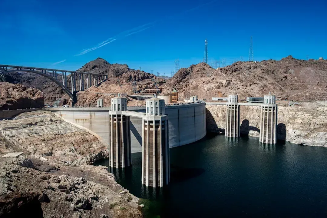
Nevada’s drought story, as Claude explained it, is really a story about one river doing too much work. The state’s arid baseline climate leaves little margin for error, and Nevada’s arid climate and limited water resources make it highly susceptible to water scarcity. Las Vegas has become something of a case study in adaptation because of it.
The city has pushed conservation harder than almost anywhere else in the country. Las Vegas has implemented aggressive water conservation measures, including restrictions on outdoor water use and investments in water recycling. Still, Claude noted that conservation only stretches a limited supply so far, since the state’s dependence on the Colorado River, which is facing reduced flows, continues to pose significant challenges.
California: Whiplash Between Drought and Deluge
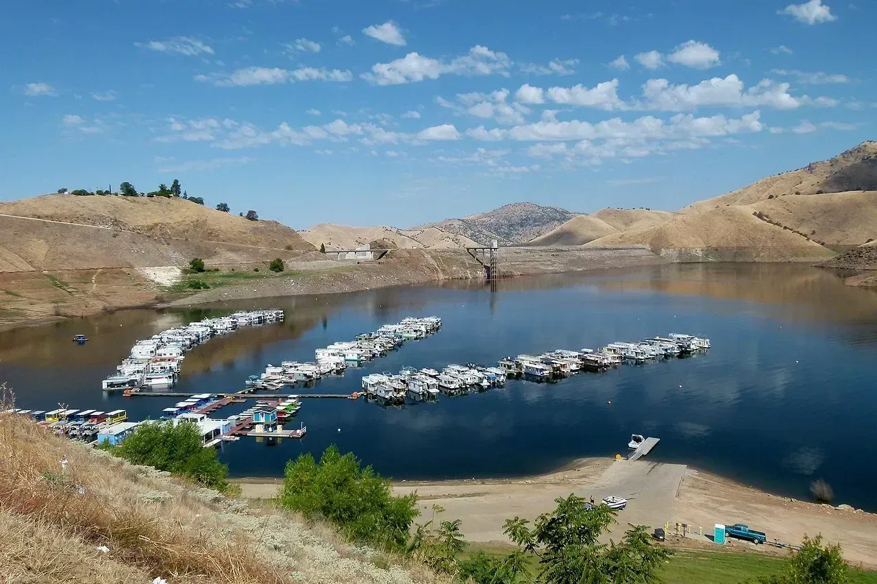
California was the one state where Claude’s answer genuinely surprised me. The narrative isn’t a straight line toward disaster, it’s a swing between extremes. In January 2026, the Drought Monitor showed no part of California in drought for the first time in 25 years. That sounds like good news, and briefly it was.
Then conditions flipped fast in the southern part of the state. By April, Southern California was facing its fourth straight year of below-average rainfall, with statewide snowpack at only 18 percent of normal and the State Water Project limiting releases to 30 percent of normal. Claude flagged something else worth noting here too: California’s restrictions no longer depend on whether a drought is officially declared, meaning the state is managing scarcity as an ongoing baseline rather than waiting for an emergency label.
Texas: Growth Outpacing the Rain
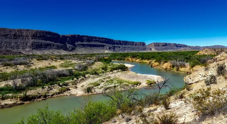
Texas showed up in Claude’s response mostly because of scale. It’s a huge state with a huge population, and even moderate dry stretches translate into millions of affected residents fast. More than 18 million Texas residents are at risk of being affected by drought, according to the National Integrated Drought Information System, with parts of the state carrying extreme to exceptional drought classifications.
What makes Texas trickier than a typical drought story is the demand side of the equation. The state keeps adding residents and industry at a pace that outstrips rainfall in a lot of regions, and agriculture and urban growth are increasingly competing for the same shrinking pool. Claude described this less as a weather problem and more as a planning problem that weather happens to make worse.
Florida: The Surprising Face of Drought
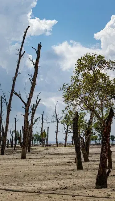
Florida wasn’t a state I expected to hear about in this context, and Claude acknowledged that most people wouldn’t either. The state’s reputation for humidity and swampland makes drought sound almost contradictory. Yet many people are surprised to learn that some parts of the state are at risk of drought, with approximately half of the Sunshine State experiencing extreme drought conditions according to the U.S. Drought Monitor.
The consequences have been tangible rather than abstract. A lack of water is hurting the citrus industry and forcing some municipalities to implement burn bans. Claude’s point here was straightforward: drought isn’t just a Western phenomenon anymore, and a state’s climate reputation doesn’t guarantee it’s immune.
Oklahoma, Montana and Iowa: The Vulnerability Rankings
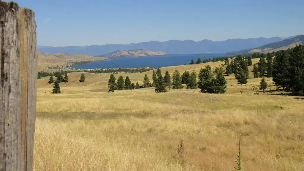
This is where Claude’s answer diverged furthest from what I’d assumed going in. Rather than just looking at current dryness, one federal-adjacent analysis measures how exposed, sensitive, and adaptable each state’s water system actually is. Researchers factor in how quickly a state uses its water, how prepared it is for drought, and whether people and systems can bounce back from shocks, as reflected in a multistate drought vulnerability analysis described by NOAA’s Climate.gov and the underlying University of Alabama study.
The results didn’t match the usual Southwest-heavy mental map. Vulnerability to water shortages is determined by exposure to drought, system sensitivity, and adaptive capacity, with states like Oklahoma, Montana, and Iowa ranking among the most vulnerable. Claude’s takeaway was that a state can look green and rain-fed on a map while still carrying real structural risk underneath, since Western and Southwestern states face intense pressure on their water systems, with states like California, Arizona, and Nevada experiencing high water stress due to limited supplies and increasing demand, but they aren’t the whole story.
Georgia and the Southeast: A Historic Dry Stretch
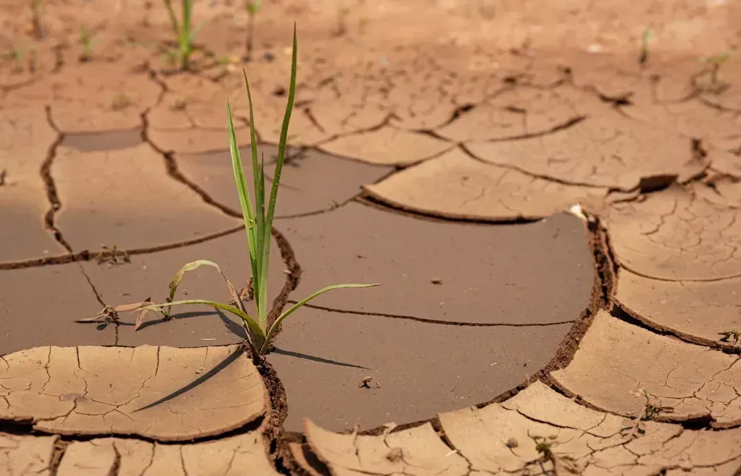
If there was one region Claude kept circling back to, it was the Southeast, and specifically Georgia. The numbers here are close to unprecedented for the region. Georgia, North Carolina, and South Carolina experienced their driest September-through-March period since 1895, when systematic climate records began, making it the worst such stretch in more than 130 years of recorded history.
The state-level breakdown by spring was stark. By April, 100 percent of North Carolina, virtually all of Virginia, well over 99 percent of South Carolina, close to 99 percent of Florida, over 98 percent of Georgia, more than 93 percent of Tennessee, and close to 89 percent of Alabama were in drought. Georgia in particular saw a jump in the most severe category, since extreme drought now covers 71 percent of the state, the highest reading since 2012.
Washington State: When the Pacific Northwest Runs Dry
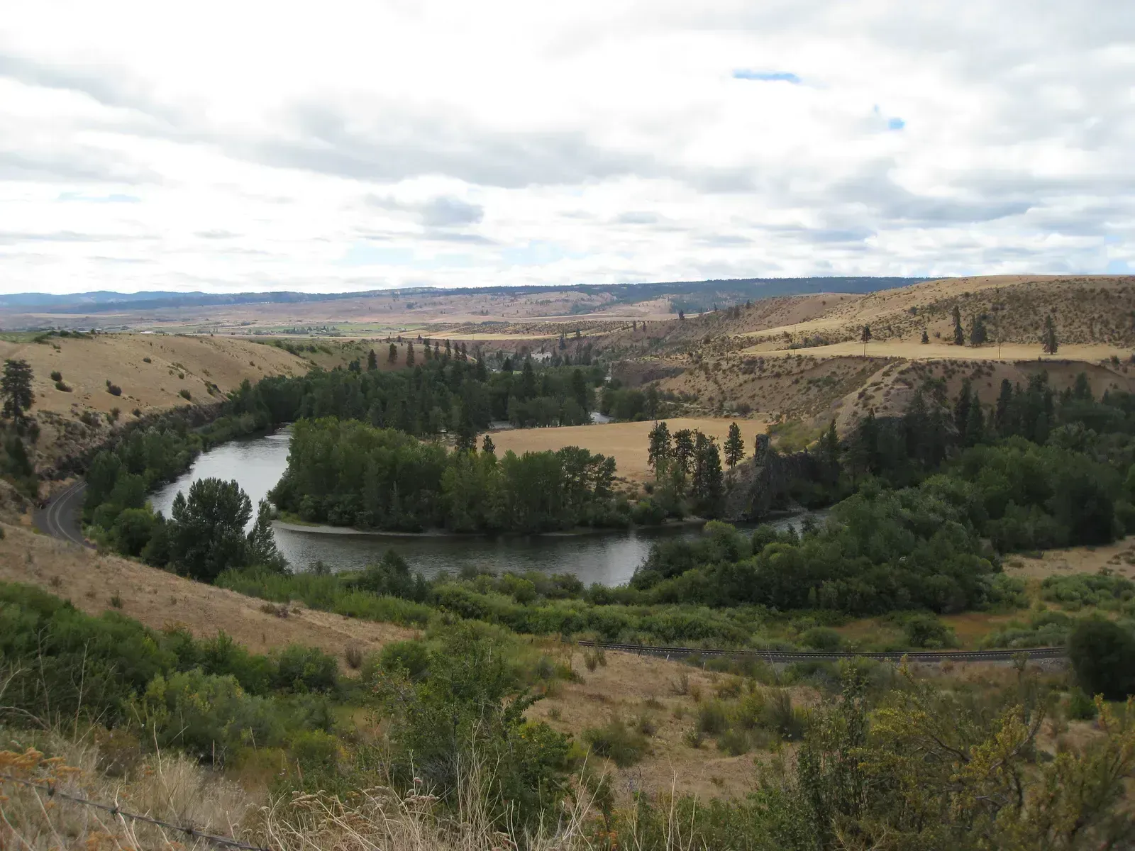
Claude’s answer also pushed back on the idea that drought is purely a Southern or Southwestern issue by pointing north. Washington’s Yakima River Basin, which supports a major agricultural region, has been under real strain. Water storage in Washington’s five reservoirs in the Yakima River Basin has dropped sharply, bringing levels at times to some of the lowest measured since record-keeping started in 1971.
That detail mattered to Claude’s broader point: drought risk doesn’t map neatly onto climate stereotypes anymore. A state known for rain and evergreen forests can still end up rationing water for its farms in a bad year. It’s a reminder that snowpack, not just rainfall totals, drives a lot of what happens downstream months later.
Colorado and the Rockies: Where the Snowpack Problem Starts
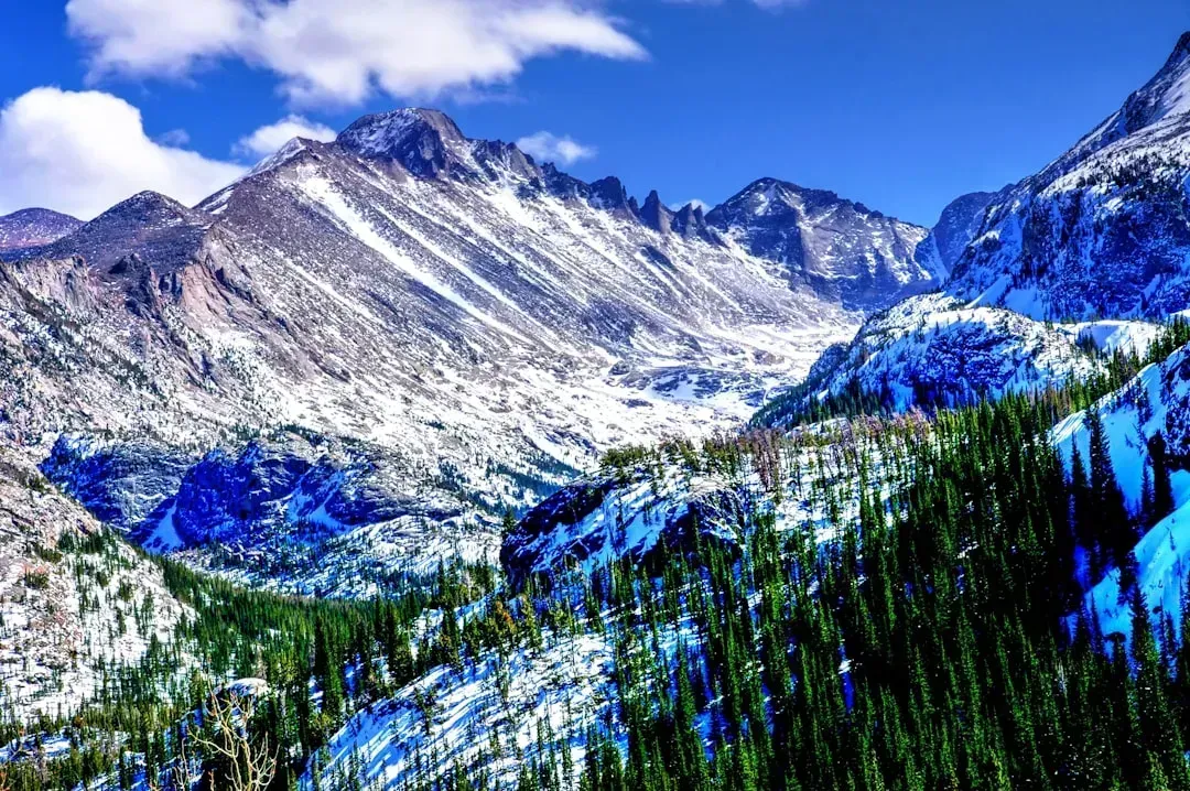
The last piece of Claude’s answer zoomed out to the broader Rocky Mountain and High Plains region, which feeds water systems for several states at once. According to the Virginia Tech assessment Claude cited, the southeastern quadrant of the U.S. has widespread and deep drought conditions, and the central Rocky Mountains and high Great Plains regions are enduring widespread, deep drought as well.
Claude also flagged a seasonal pattern worth watching going forward. States from New Jersey to Arkansas are particularly susceptible to fall and winter dryness during La Niña years, based on the same analysis, which suggests the Rockies aren’t an isolated case but part of a wider pattern tied to the current climate cycle. Snowpack there feeds rivers that dozens of downstream communities and farms depend on, so a thin winter in Colorado tends to show up as a crisis somewhere else months later.
Final Thoughts
What struck me most about Claude’s answer wasn’t any single statistic, it was how many different kinds of states ended up on the list. Deserts, wet coastal states, mountain regions, and Midwestern farm states all showed up for different reasons, from river dependence to aging infrastructure to a single unlucky winter.
Asking an AI model to sort through this kind of question won’t replace reading the actual drought reports yourself, but it did a decent job of connecting scattered data points into something coherent. The bigger lesson, at least the way Claude framed it, is that drought risk in 2026 has stopped being a regional label and started looking more like a shared, moving target.

- The Shoreline Sucked Dry in Seconds – 5 Tsunami Signals Beachgoers Mistake for Low Tide - November 14, 2026
- 9 Dark-Sky Destinations Around the World Where the Stars Look Unreal - November 14, 2026
- The Fault Line That Never Slips – 7 Locked Seismic Zones Overdue for a Massive Release - November 14, 2026
