
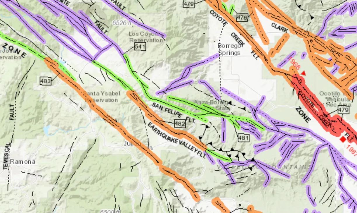
Most faults announce themselves with a steady drizzle of small earthquakes. The ones that worry seismologists most are often the quiet ones. A fault that stays silent isn’t necessarily at rest. It may simply be stuck.
The word “overdue” gets thrown around a lot, and scientists use it carefully, since earthquakes don’t run on a schedule. Still, new measurements from 2024 to 2026 have sharpened the picture of where strain is piling up. Here are seven places where the evidence points to locked ground.
The Southern San Andreas and San Jacinto Faults
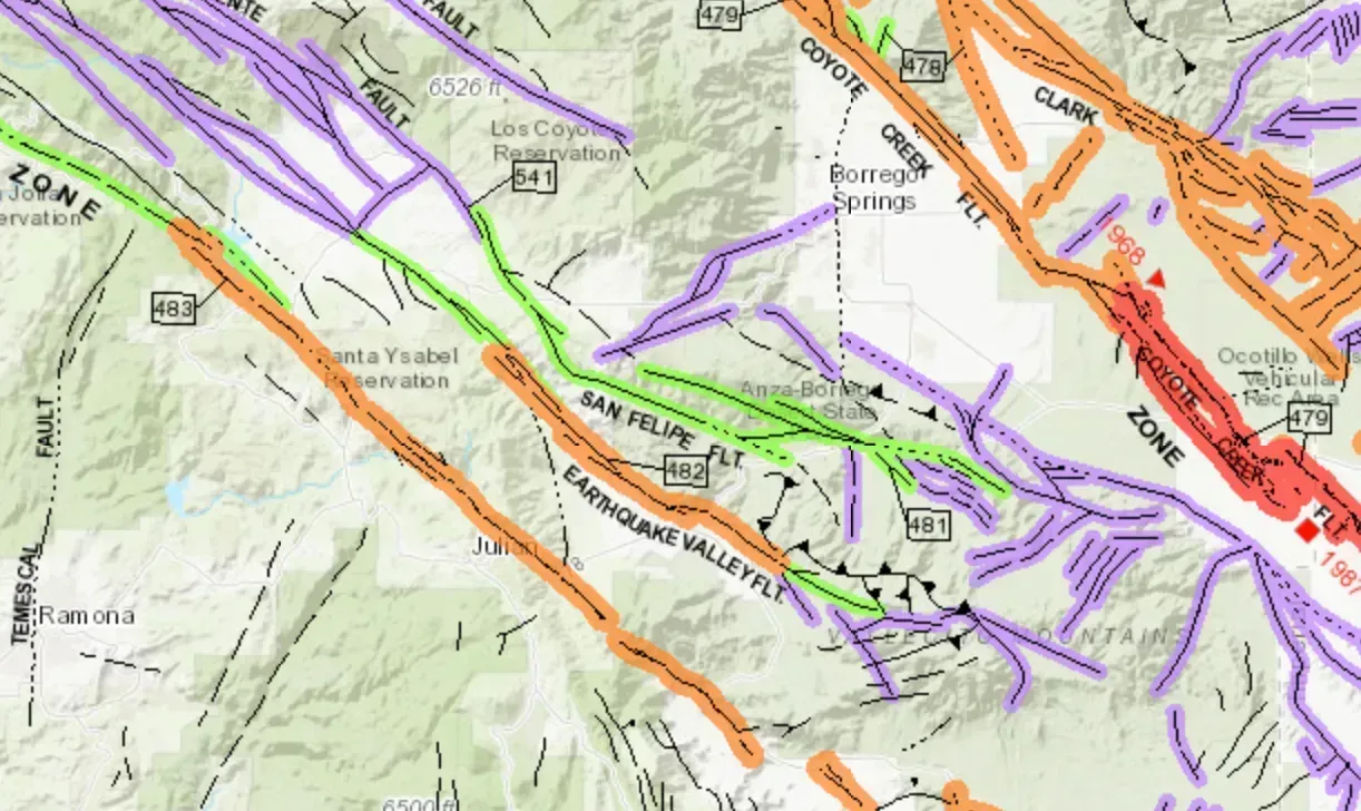
A study reported in June 2026 found that southern portions of the San Andreas fault and parts of the adjacent San Jacinto fault are at their highest stress levels in 1,000 years. Researchers at the University of Bern simulated a millennium of activity to reach that estimate.
The focus is Cajon Pass, where the two faults meet. The team describes it as an “earthquake gate” that may decide whether a large earthquake stays on one fault or spreads across both at once. A rupture through the pass would likely be far more severe than one limited to a single fault system.
The Central Himalayan Seismic Gap
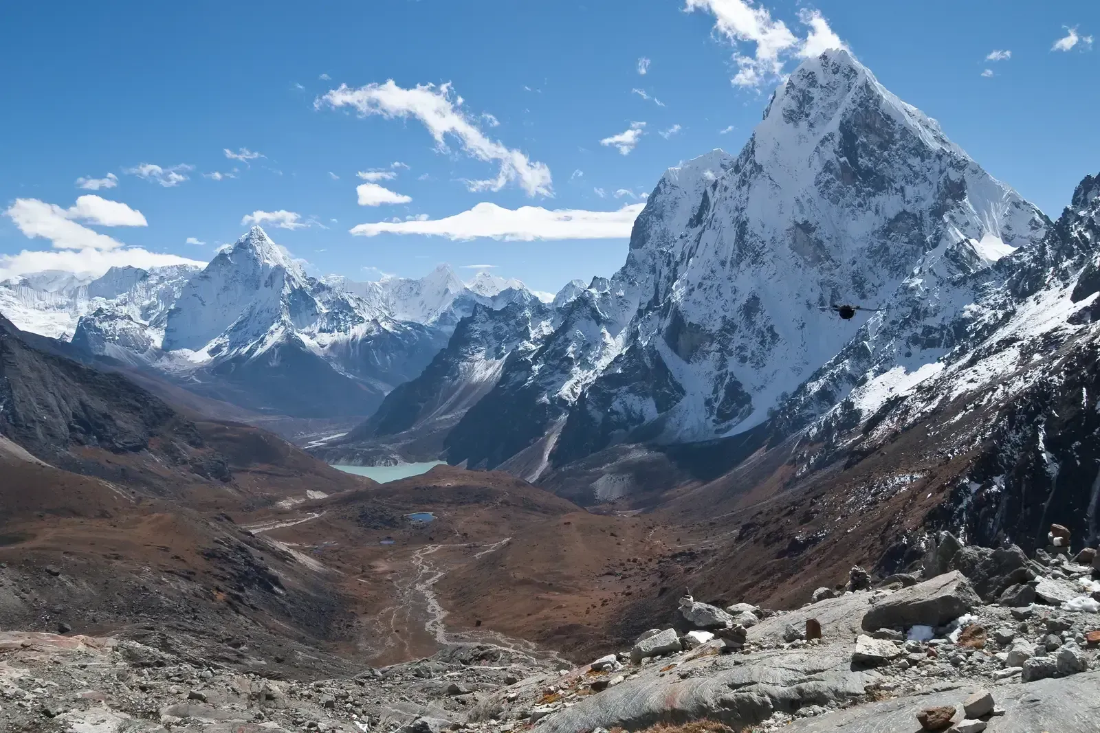
Beneath northern India and Nepal, the Indian plate pushes under Asia along a vast megathrust. The central Himalayan gap is a section of the mountain belt with no known magnitude 8 or greater earthquake for several centuries, though the size of ancient ruptures remains uncertain.
A 2025 study combined horizontal and vertical ground movement data to estimate how much of the megathrust is locked. It concluded that the gap has stored enough strain to support two magnitude 8.8 scenarios. The strain accumulation rate matches one magnitude 8.1 megathrust earthquake every 100 years.
The Marmara Segments Near Istanbul
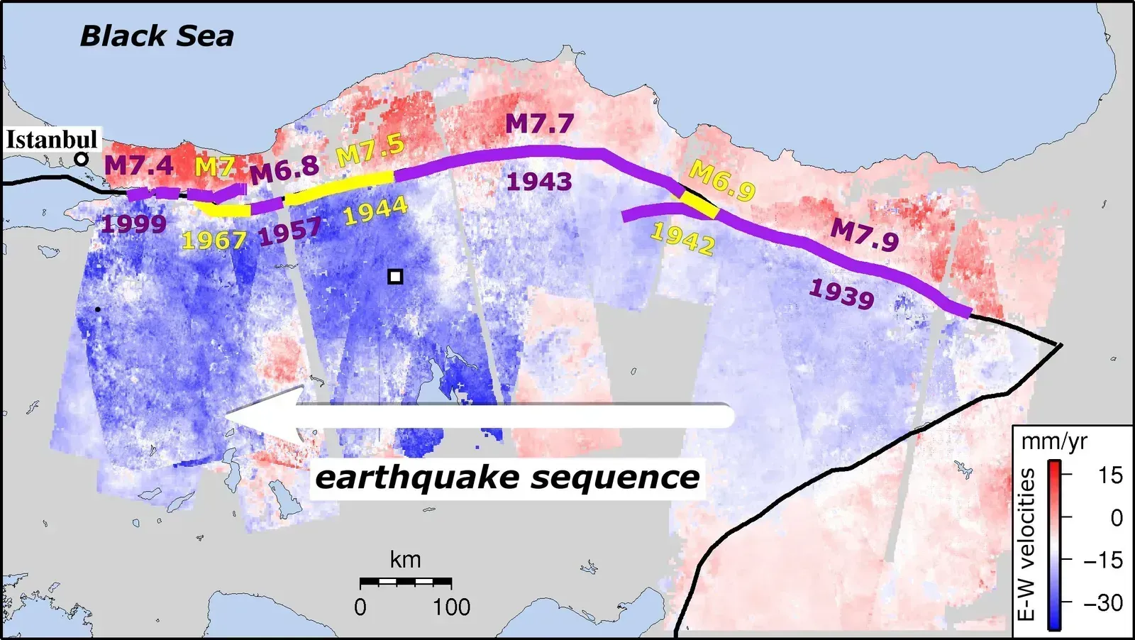
The North Anatolian Fault runs beneath the Sea of Marmara, close to Istanbul. Some online analyses report that GPS and seafloor surveys show the locked segments gathering stress at roughly 20 to 25 millimeters a year. Those figures come from a secondary source, so they’re worth treating as approximate.
The same analysis warns of events up to magnitude 7.6. No official forecast gives a date, and nobody can. What the geodetic record does suggest is that these offshore segments haven’t been releasing their strain gently.
The Wasatch Fault in Utah
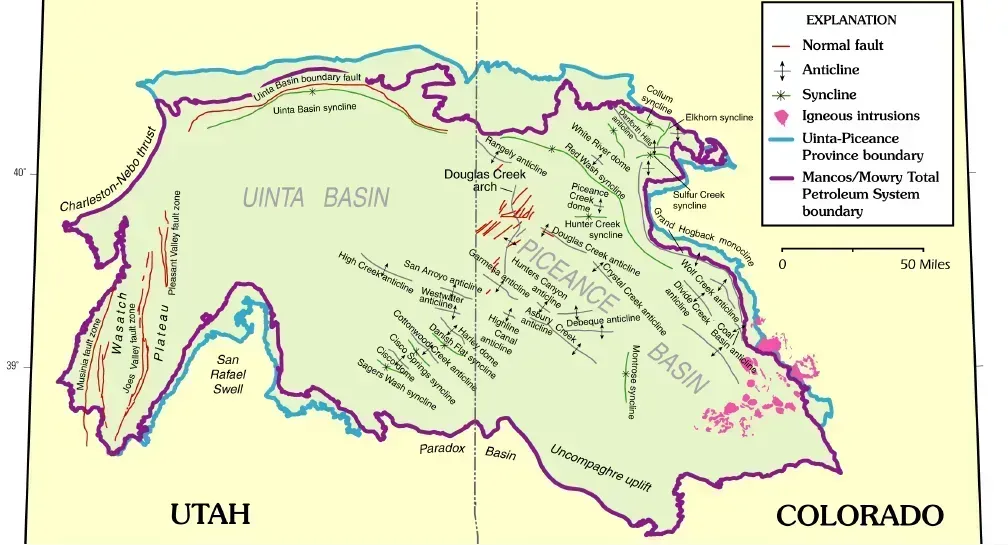
The Wasatch Fault runs along the front of Utah’s most populated corridor, including Salt Lake City. Experts have given a probability of 57 percent for a magnitude 6.0 or greater quake within the next 50 years, which is a little better than even odds.
The bigger issue is the building stock. At least 42 percent of buildings along the Wasatch Front are at risk of moderate to severe damage in a strong earthquake. Salt Lake City is using federal grant funds for a Fix the Bricks program aimed at unreinforced masonry buildings.
The Shumagin Gap in Alaska
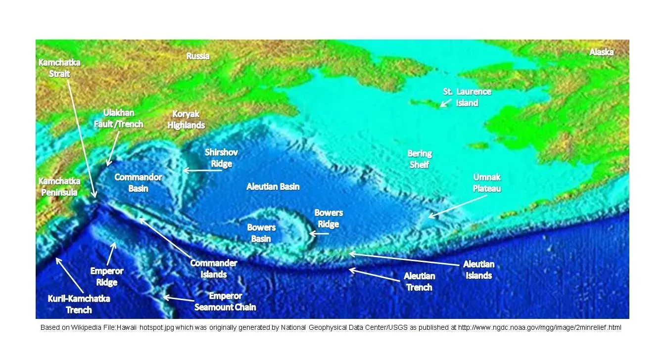
The Aleutian subduction zone includes a stretch called the Shumagin Gap. It spans about 125 miles and had not ruptured with a large quake for at least 100 years. Seismologists first flagged it as a possible gap in 1971.
The 2021 Chignik earthquake struck just east of it and did not break into the gap. Research suggests the area may pose a threat similar to the rest of the Aleutian subduction zone rather than being a safe pocket. That means the gap has stayed locked through a major neighboring rupture.
The Cascadia Subduction Zone
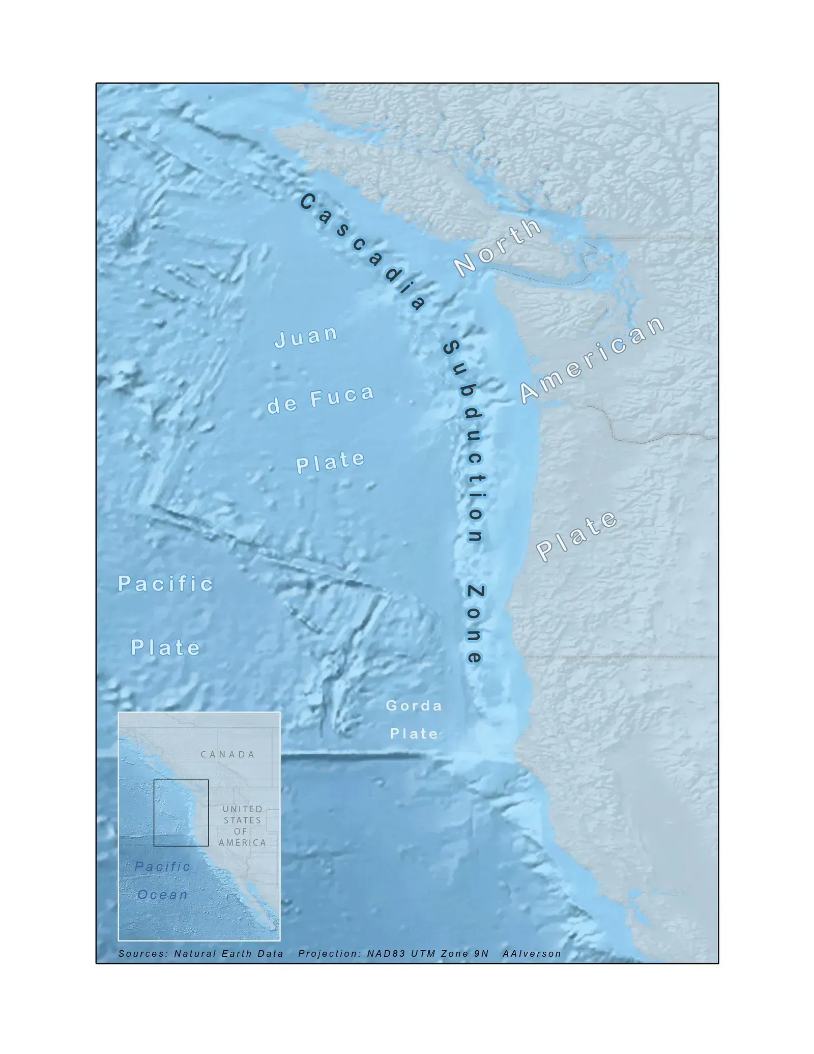
Off the coast of Oregon, Washington, and British Columbia, the Juan de Fuca plate slides beneath North America. The last great earthquake there struck in January 1700, a date reconstructed from Japanese tsunami records and coastal geology. The fault has been largely quiet in the centuries since.
Scientists generally treat it as capable of a magnitude 9 event, with a tsunami reaching the coast within minutes to an hour. Exact odds vary by study and by how the fault’s past ruptures are counted. The silence in the modern record is the main reason the region draws so much attention.
Japan’s Nankai Trough and the Tohoku Fault
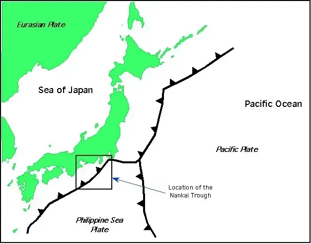
The Nankai Trough off southwestern Japan has produced great earthquakes repeatedly over recorded history. In August 2024, Japan’s weather agency issued its first advisory tied to a possible Nankai megaquake after a magnitude 7.1 event in the region. Government estimates put the chance of a major rupture within three decades at a high level, near eighty percent.
Further north, a November 2026 paper in Science reported that the fault behind the 2011 magnitude 9.0 earthquake has returned to a locked state in approximately a decade. The work, led by Fumiaki Tomita of Tohoku University, drew on 14 years of measurements from beneath the Pacific Ocean. It also indicates that much of the strain for a future quake can build early in the cycle.
What a Seismic Gap Looked Like Before Venezuela
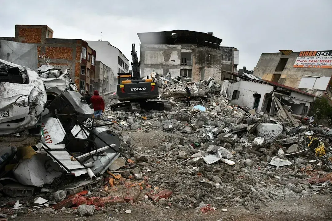
A June 24, 2026 doublet in northern Venezuela, with magnitudes of 7.2 and 7.5, offers a recent test of the gap idea. A study found the fault segment had remained notably inactive for an extended period while neighboring parts of the plate boundary produced moderate to large quakes.
The analysis indicates the event ruptured a segment that had stayed locked, accumulating strain without releasing it. Its authors note the gap was identifiable years earlier. That is a preliminary abstract rather than a settled verdict, but it fits what the seven zones above have in common.

- The Shoreline Sucked Dry in Seconds – 5 Tsunami Signals Beachgoers Mistake for Low Tide - November 14, 2026
- 9 Dark-Sky Destinations Around the World Where the Stars Look Unreal - November 14, 2026
- The Fault Line That Never Slips – 7 Locked Seismic Zones Overdue for a Massive Release - November 14, 2026
