
The polar vortex is a massive pool of frigid air that swirls high above the Arctic, acting like a giant atmospheric lid that keeps most of that cold locked in place during winter. When it stays strong and stable, the United States enjoys milder conditions, but when it weakens or shifts, bitter Arctic air can spill southward and create the kind of record-breaking freezes that dominate headlines. Scientists have studied this phenomenon for decades, and it remains one of the key drivers behind the nation’s most severe winter weather.
Understanding the polar vortex helps explain why some winters feel far harsher than others, even as overall climate patterns evolve. It is not a new discovery, yet its behavior continues to fascinate meteorologists and everyday people alike who brace for sudden temperature drops. The term itself often appears in forecasts whenever a major cold outbreak looms.
Understanding the Basics of the Polar Vortex

The polar vortex is essentially a large-scale cyclone of low pressure and extremely cold air that forms in the stratosphere over the North Pole each winter. It spins counterclockwise and can stretch thousands of miles across, holding temperatures that routinely dip below minus 100 degrees Fahrenheit at its core. This feature sits roughly 10 to 30 miles above the surface, far higher than typical weather systems people experience on the ground.
Unlike surface storms, the vortex operates in a layer of the atmosphere where temperatures are governed by different rules, including the absence of weather fronts and clouds. Researchers describe it as a seasonal phenomenon that strengthens in autumn and peaks in midwinter before gradually fading in spring. Its presence explains why the Arctic stays so much colder than mid-latitude regions during the darkest months.
How the Polar Vortex Develops Over the Arctic
Formation begins as sunlight fades in the far north during autumn, allowing the stratosphere to cool rapidly and create a sharp temperature contrast with lower latitudes. This contrast fuels strong westerly winds that wrap around the pole and trap the coldest air inside a rotating cylinder. The process relies on the Earth’s rotation and the lack of solar heating, which together maintain the vortex’s tight structure.
Once established, the vortex can persist for months unless disrupted by sudden warming events higher up. These disruptions, known as sudden stratospheric warmings, can split or displace the vortex and send pieces of it drifting southward. Such events occur several times each decade and often precede the most dramatic cold outbreaks felt across North America.
The Connection to the Jet Stream
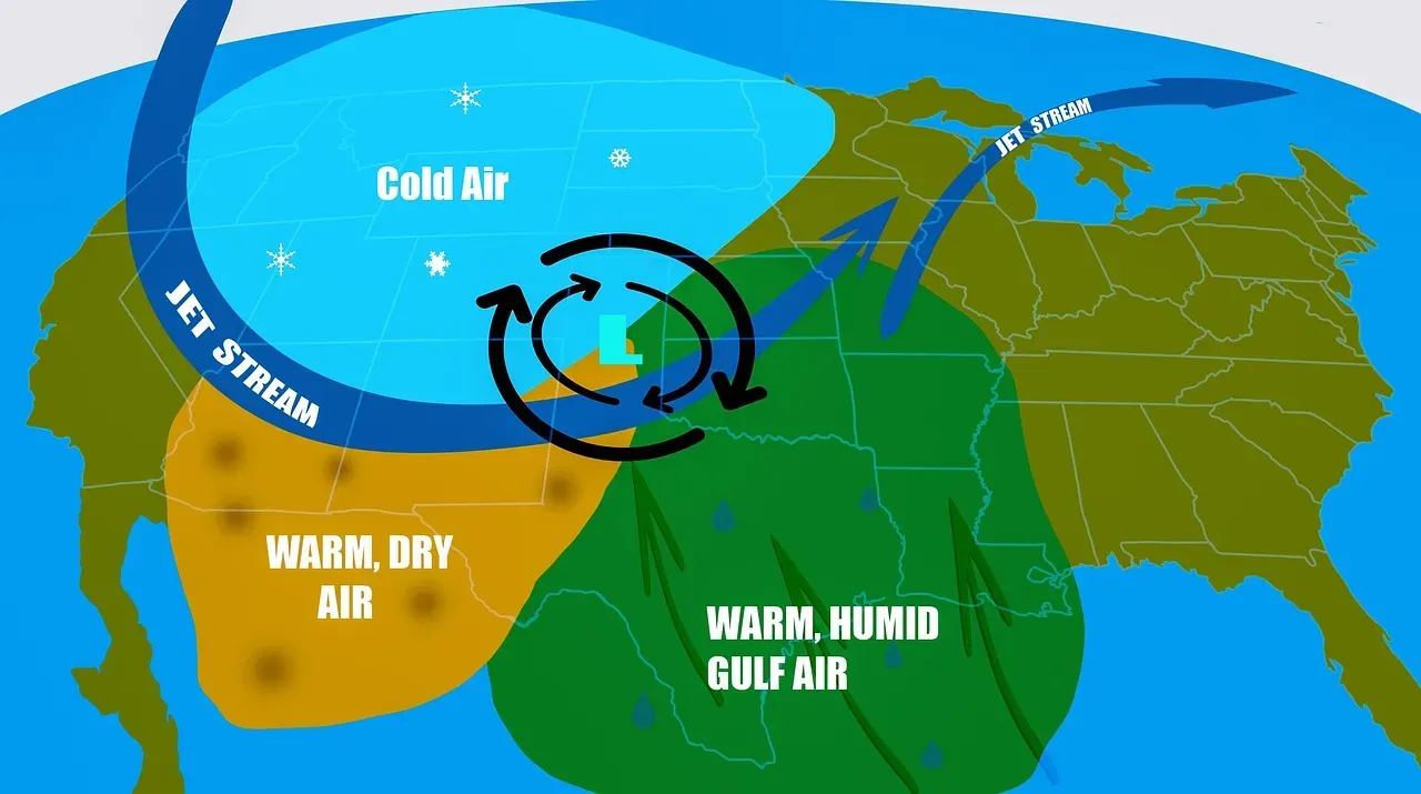
The polar vortex sits directly above the polar jet stream, a fast-moving river of air that circles the globe at roughly 30,000 feet. When the vortex remains compact and centered over the Arctic, the jet stream stays relatively straight and keeps cold air contained. A weakened or displaced vortex, however, allows the jet stream to meander into large north-south loops called Rossby waves.
These loops can dip deep into the United States, opening a pathway for Arctic air to surge southward. Meteorologists track the strength of the vortex by measuring wind speeds in the stratosphere, and they note that slower winds often correlate with more erratic jet stream behavior. This link between the two features is why forecasts sometimes mention both in the same breath during winter.
Bringing Arctic Air to American Shores
When the polar vortex weakens, fragments of its coldest air can break off and travel thousands of miles south within days. These outbreaks often arrive behind a strong high-pressure system that funnels the air along the eastern side of the Rockies or through the Great Plains. Cities from Chicago to Atlanta have seen temperatures plunge 30 or 40 degrees in a single day during such events.
The cold air does not simply slide under the jet stream; it rides along with it in a coordinated atmospheric dance. Once in place, the air mass can linger for a week or more, producing dangerous wind chills and frozen infrastructure. Forecasters rely on upper-air observations to anticipate these movements days in advance.
Recent Polar Vortex Outbreaks in the United States
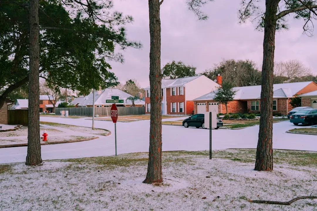
The winter of 2021 brought one of the most memorable examples when a weakened vortex helped push Arctic air into Texas and surrounding states, causing widespread power outages and record lows. Similar patterns appeared in early 2024 and again during the 2025-2026 season, though the geographic focus shifted slightly each time. These events remind residents that even in a warming world, brief but intense cold snaps remain possible.
National weather agencies document these outbreaks using satellite data and balloon measurements that reach into the stratosphere. Each episode provides fresh data that improves future predictions. The frequency of notable disruptions has stayed roughly consistent over the past decade, giving scientists a growing record to analyze.
Climate Change and Polar Vortex Dynamics
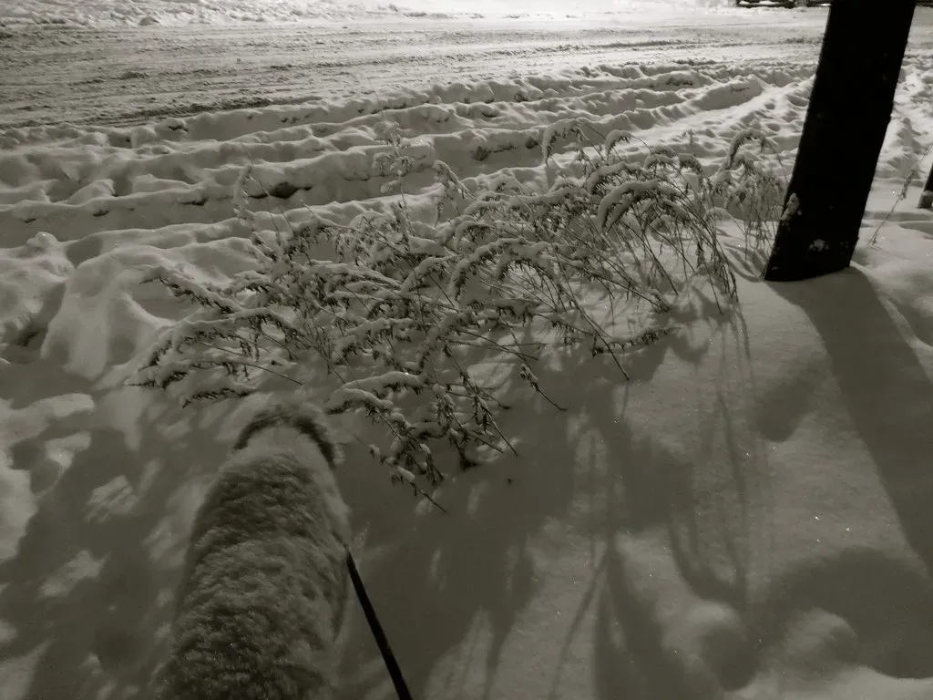
Researchers continue to examine whether rising global temperatures influence how often the polar vortex weakens or shifts. Some studies suggest that rapid Arctic warming may reduce the temperature contrast that keeps the vortex stable, potentially leading to more frequent disruptions. Others note that natural variability still plays a dominant role in any single winter.
Long-term observations show that while average winter temperatures have climbed, the coldest individual days can still reach historic lows when the vortex sends air southward. This combination means communities must prepare for both milder overall conditions and occasional extreme events. Ongoing research aims to clarify the balance between these trends.
Forecasting and Monitoring Efforts
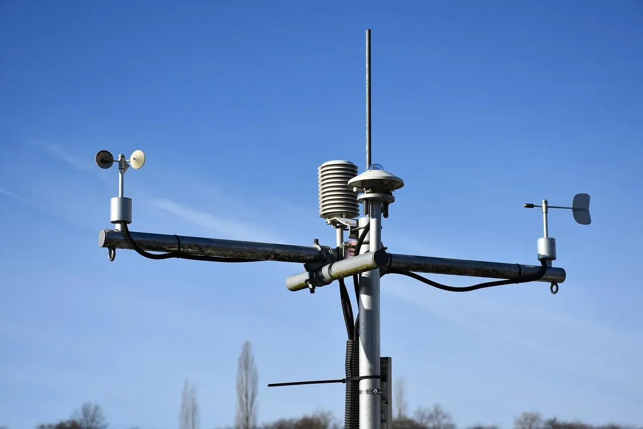
Modern forecasting relies on a network of weather balloons, satellites, and computer models that simulate conditions from the surface up through the stratosphere. Agencies such as the National Oceanic and Atmospheric Administration issue regular updates on vortex strength, often weeks before any surface impacts occur. These tools allow meteorologists to spot sudden warmings early and issue timely alerts.
Public communication has improved as well, with graphics that illustrate the vortex’s position and expected movement. Local emergency managers use this information to stage resources ahead of anticipated cold waves. Continued investment in observation systems helps refine accuracy and reduce surprises.
Conclusion
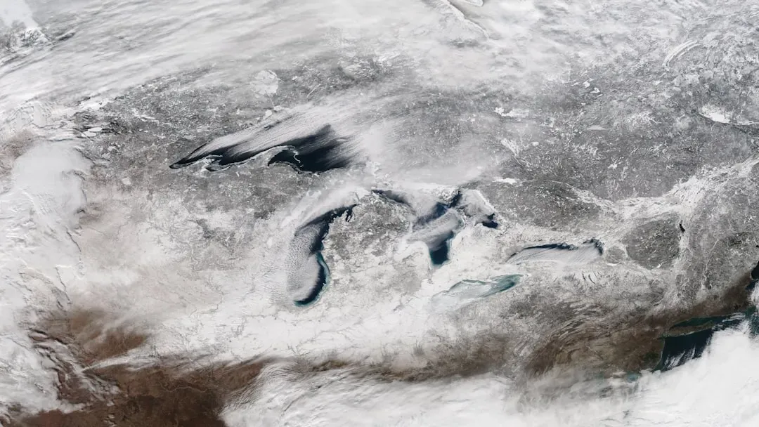
The polar vortex remains a powerful reminder that Earth’s atmosphere operates on a grand scale, linking distant regions in ways that affect daily life. Its behavior will continue to shape winter forecasts for years to come, even as scientists work to understand its evolving relationship with a changing climate. Staying informed about its movements helps individuals and communities respond wisely when the next cold surge arrives.
In the end, the polar vortex is simply one piece of a complex system that has always delivered both beauty and challenge to the winter landscape. Respecting its strength while preparing for its visits keeps people safer and more resilient. That balance of awareness and readiness is what turns an Arctic force into something manageable rather than overwhelming.

- The Safest vs. Riskiest Places to Live During Hurricane Season in 2026 - September 22, 2026
- 10 Things Your Home Can Tell You About the Climate You Live In - September 22, 2026
- The 3 States Investing the Most in Renewable Energy Infrastructure This Decade - September 21, 2026
