

Climate change isn’t arriving evenly across the United States. While no state fully escapes its effects, certain states are positioned at the intersection of rising seas, worsening droughts, fiercer wildfires, and supercharged storms in ways that set them apart from the rest of the country. In such a large and environmentally diverse landmass as the United States, the effects of climate change vary considerably across the country, with some regions likely to experience far worse impacts from global warming than others.
Nine out of ten states predicted to experience the worst impacts from the climate crisis are in the American South, many of them coastal. Climate change brings five major threats: extreme heat, drought, wildfires, coastal flooding, and inland flooding, and each problem feeds into the others, which can cause compounding damage. What follows is a state-by-state look at who faces the sharpest end of this decade’s climate reckoning.
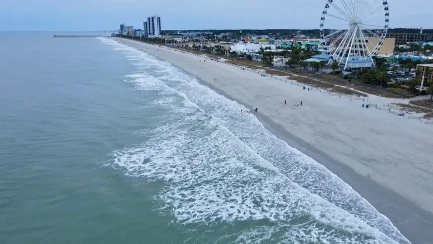
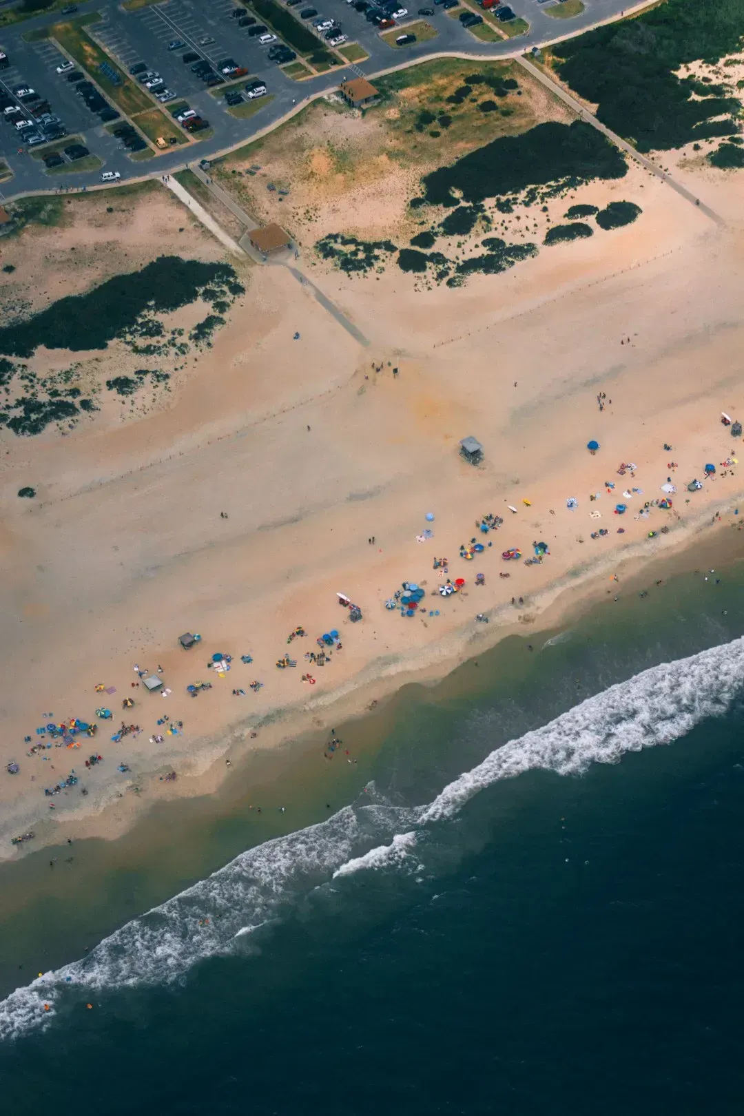
1. Florida: Surrounded on Three Sides by Rising Water
Rising seas, a population crowded along the coast, porous bedrock, and the relatively common occurrence of tropical storms put more real estate and people at risk from storm surges aggravated by sea level rise in Florida than any other state by far. Sea level rise is already exacerbating saltwater intrusion and impacting groundwater supplies, and is also impacting gravity-flow drainage infrastructure, which is leading to more frequent and severe high-tide flooding.
Some 2.4 million people and 1.3 million homes, nearly half the risk nationwide, sit within 4 feet of the local high tide line, and sea level rise is more than doubling the risk of a storm surge at this level in South Florida. On average, someone in Florida will experience roughly 57 to 93 extremely hot days in 2050, a dramatic shift from what the state’s residents consider normal today.
2. Louisiana: Losing Ground, Literally
According to the EPA, in the coming decades Louisiana will become warmer and both floods and droughts may become more severe. Unlike most of the nation, Louisiana did not become warmer during the last century, but soils have become drier, annual rainfall has increased, more rain arrives in heavy downpours, and sea level is rising. Louisiana, which is already losing large amounts of land to the sea for a variety of reasons, will likely see 1.1 to 1.4 feet of sea level rise at Grand Isle by 2030 on the current emissions path.
For the second straight year, portions of the Mississippi River experienced low water levels impacting river commerce, and that low flow also allowed salt water from the Gulf of Mexico to migrate northward along the bottom of the Mississippi River, impacting water quality in southern Louisiana. The state sits in a position where multiple climate threats converge simultaneously, making adaptation extraordinarily difficult.
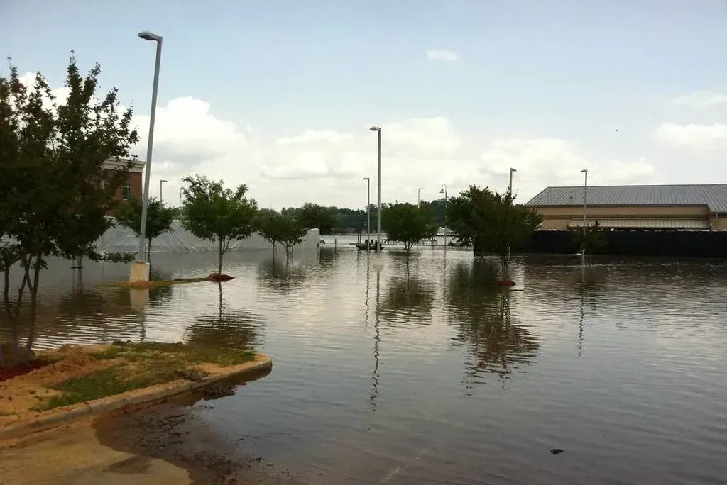
3. Texas: Whiplash Between Flood and Drought
The catastrophic flash flooding in the Texas Hill Country in July 2025 was one of the deadliest inland floods in U.S. history. At least 138 people died in the floods, most of them on the Fourth of July, when torrential rains triggered a rapid rise along the Guadalupe River that inundated cabins, vehicles, and campgrounds. The scale of that event stunned even experienced forecasters.
The Texas floods followed several months of intense drought, a premier example of the “weather whiplash” that has been increasing as a warming climate boosts hydrologic extremes. The syndrome both increases the impacts of drought while also forcing more water to evaporate into the atmosphere, raising the odds of intensified rainfall events. Texas, Oklahoma, and Kansas had some of the highest losses to crops from the combined effects of drought and heat.
4. California: Fire, Drought, and a Shrinking Snowpack
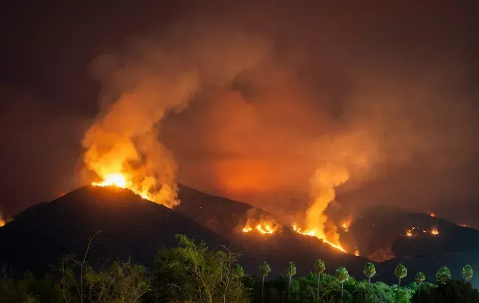
In January 2025, Los Angeles was devastated by wildfires that caused 31 deaths, destroyed over 16,000 homes and businesses, forced more than 200,000 evacuations, and exposed millions to unhealthy smoke and other harmful toxins. The Los Angeles wildfires were the most costly event of 2025 and the country’s most costly wildfires on record, with roughly $61 billion in damages making the event about twice as costly as the previous record wildfire.
While future annual precipitation may remain relatively stable on average, droughts will grow more frequent, prolonged, and intense. Warming air temperatures will cause moisture loss from soils, leading to drier seasonal conditions, and snowpack in California’s mountains will decline more than a third by 2050 and more than half by 2100, significantly reducing surface and groundwater supply. People in California will experience especially increased risks from drought, fire, and heat due to climate change over the next 30 years.
5. Mississippi: The Heat and Flood State Few Talk About
![5. Mississippi: The Heat and Flood State Few Talk About (wea00733, Historic NWS Collection, [1], Public domain)](https://nvmwebsites-budwg5g9avh3epea.z03.azurefd.net/climatecompass247/b66f06a736fe5cf340613de6f524db9b.webp)
Louisiana and Mississippi rank highest for heat risk among the lower 48 states, according to ClimateCheck’s risk analysis. The combination of already high baseline temperatures with a rapidly warming climate means Mississippi residents face some of the most sustained heat exposure in the nation. The Southeast, including Mississippi, is most threatened by hurricanes, sea level rise, flooding, and heat.
Numerous southern and eastern states from Mississippi through Pennsylvania experienced crop impacts that were most severe in the summer months during recent drought years. Southern and eastern severe storms including more than 40 tornadoes caused damage across Mississippi, Alabama, Georgia, and Tennessee, hitting homes, businesses, vehicles, and other infrastructure. For a largely rural state with limited emergency infrastructure, these compounding events carry outsized consequences.
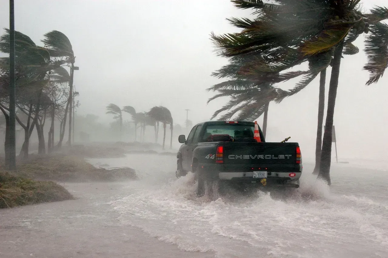
6. North Carolina: Where Hurricanes and Inland Flooding Converge
California, Florida, Georgia, North Carolina, Oregon, Texas, and Washington are expected to experience all five major climate change categories over the next few decades. North Carolina’s geography is uniquely vulnerable: a long Atlantic coastline exposed to tropical storms, mountain communities threatened by flash flooding, and a Piedmont corridor facing worsening heat. The Southeast, including North Carolina, is most threatened by hurricanes, sea level rise, flooding, and heat, and the region’s population is growing rapidly, especially in metropolitan areas threatened by extreme heat and along the sea-level-rise-threatened coastline.
The Southeast region faces the highest risks of coastal property losses in the nation. If current emissions continue, between $48 billion and nearly $69 billion in existing coastal property in the Southeast will likely be below sea level by 2050. North Carolina’s coastal communities are right at the center of that risk band, and the state has seen back-to-back billion-dollar weather disasters in recent years.
7. Georgia: Drought, Heat, and Shifting Storm Patterns
The Southeast region recorded its driest fall since 1978, with Georgia receiving less than half of its seasonal average for its fourth-driest fall on record. That kind of precipitation deficit is becoming less of an anomaly and more of a pattern. Drought developed or intensified significantly across the Southeast and in parts of the southern Plains during overlapping months, tightening the pressure on Georgia’s agriculture-heavy economy.
Georgia is among the states expected to experience all five major climate change categories over the next few decades, and not surprisingly, it carries a Climate Change Risk Index score higher than the overall U.S. average. A powerful storm system swept through the Southeast, with impacts reported across Mississippi, Alabama, Georgia, Tennessee, and Kentucky, a pattern that meteorologists say will grow more frequent as warmer ocean temperatures fuel stronger and wetter systems moving inland.
8. South Carolina: Sea Level Rise and Vanishing Coastline
Coastal states like Florida and South Carolina are most at risk of the impacts of climate change. South Carolina’s low-lying coastline and the Lowcountry region sit barely above sea level in many places, making the state exceptionally exposed to tidal flooding and storm surge. South Carolina had its second-driest November on record, marking its lowest November rainfall since 1931, illustrating how the state faces simultaneous drought stress even as it confronts flooding threats from the other direction.
Rising sea levels will damage critical infrastructure, including water supply, energy, and transportation systems. South Carolina’s coastal tourism economy, military installations, and port infrastructure all sit squarely in the path of those projected impacts. Seven states including Louisiana, Florida, New Jersey, Texas, California, New York, and Massachusetts account for nearly 80% of projected at-risk facilities from sea level rise related flooding, and South Carolina’s neighbors dominate that list, placing the entire region under compounding pressure.
9. Maryland: Subsiding Land and Accelerating Sea Rise
With nearly 12,000 miles of coastline in the Chesapeake Bay region, Maryland has a front-row seat to climate risks from rising sea levels. Researchers see a long-term upward trend of sea level rising 3 to 5 millimeters per year, which is double the rate at which sea level is rising globally, driven by both warming oceans and the gradual sinking of the land itself. This dual dynamic makes Maryland’s exposure uniquely severe even compared to other Atlantic coast states.
All but a relative handful of the state’s 2.2 million properties are vulnerable to major damage over the next 30 years. Pennsylvania’s neighbor to the south faces predictions that every county will continue to get warmer and wetter, and the consequences go well beyond floods and heatwaves to include landslides, erosion, damage to farms, and an increase in heat-related illnesses, allergies, and tick-borne diseases. Maryland’s dense population and aging coastal infrastructure make each degree of warming a compounding liability rather than a distant abstraction.
The Bigger Picture Behind These Nine States
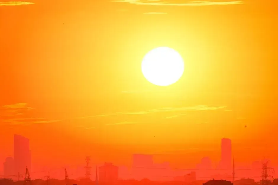
The start of summer 2025 brought a massive heat dome over the United States, subjecting more than 255 million Americans to conditions that meteorologists called “dangerous, life-threatening,” with triple-digit temperatures and high humidity. Extreme heat isn’t just uncomfortable, it’s the deadliest weather-related hazard in the United States, killing more people annually than hurricanes, tornadoes, and floods combined, with the CDC recording over 1,220 heat-related deaths per year and that number expected to rise significantly.
2025 was the 15th consecutive year with an above-average number of billion-dollar disasters, and the average number of such disasters per year has surged from about three events annually during the 1980s to 20 events annually during the last ten years. These nine states aren’t simply unlucky in their geography. They are the places where the physics of a warming climate collide most directly with dense populations, aging infrastructure, and coastlines that have nowhere left to retreat. What happens in these states over the next decade will shape how the rest of the country understands what climate change actually costs.