
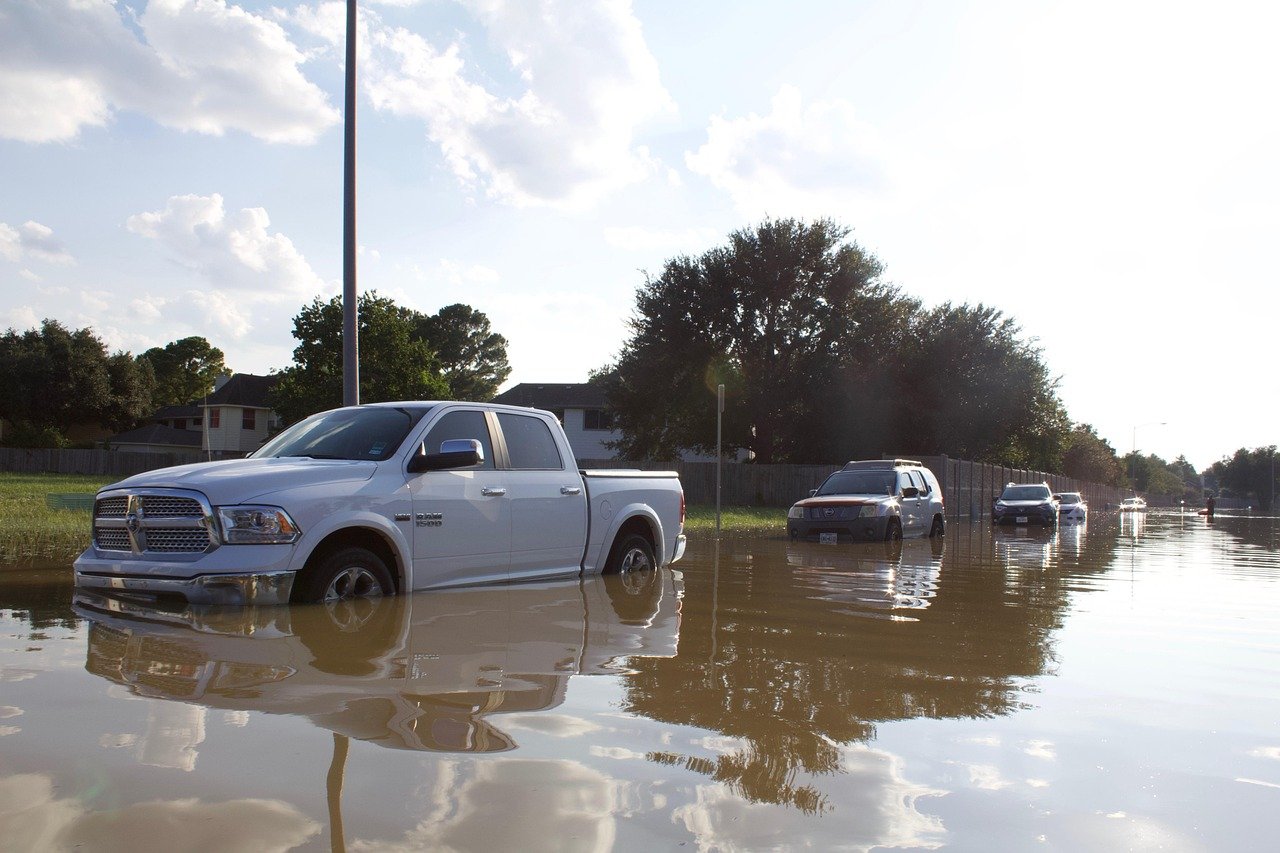
A crescent of land known as Flash Flood Alley
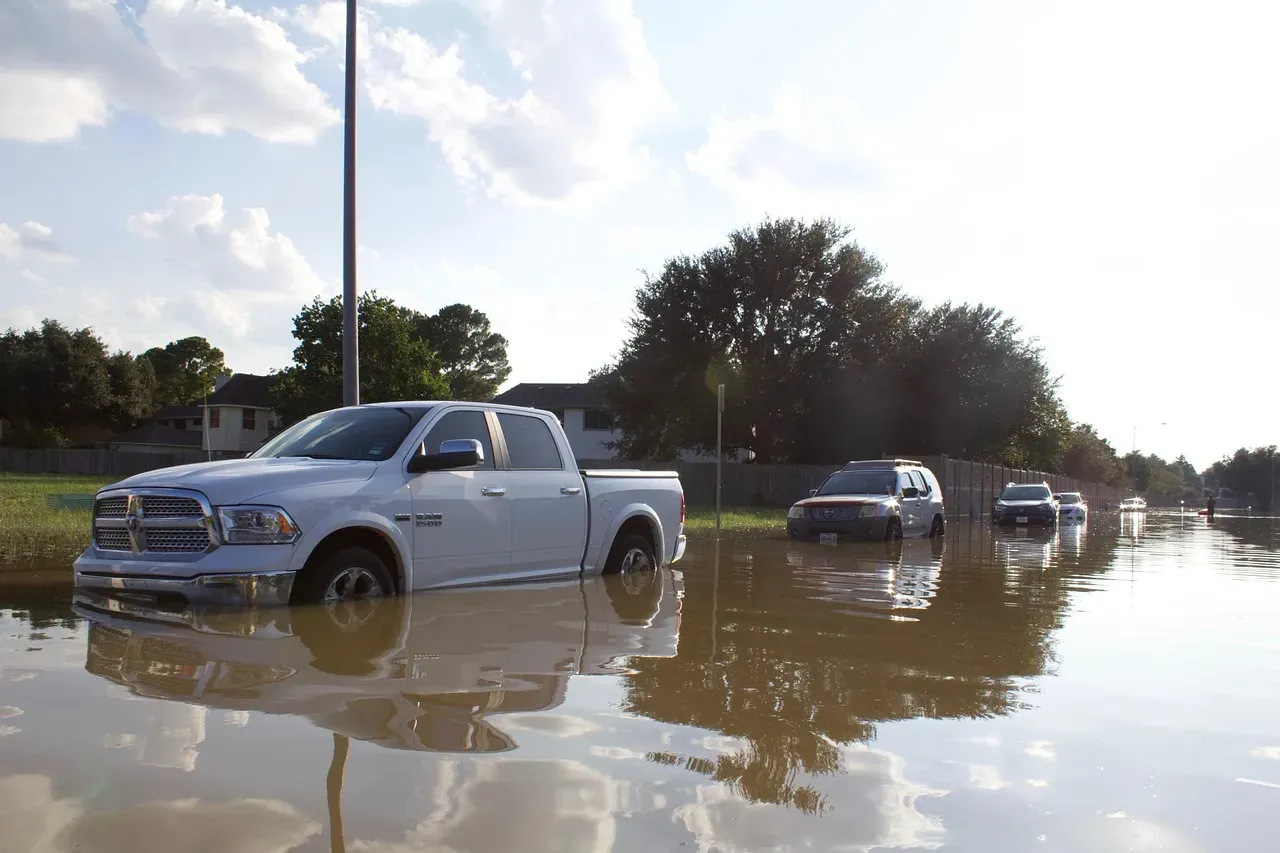
The region in question curves through the middle of the state, running roughly from the Dallas Fort Worth area down toward San Antonio and then bending westward. It’s part of an area known as Flash Flood Alley, a crescent of land that curves from near Dallas down to San Antonio and then westward. Researchers who track flood mortality describe it as one of the most flood prone stretches on the entire continent, not just within the United States.
Those rivers run through Flash Flood Alley, one of the most flood-prone regions on the continent, following the curve of the Balcones Escarpment through Texas’ middle, from Waco south to Uvalde, where the weather and landscape distinctively work together to produce rapid flood events. The name isn’t a nickname invented by local news outlets for dramatic effect. It shows up in peer reviewed hydrology research and in briefings from the National Weather Service, because the pattern of sudden, severe flooding here is that well documented.
Why the ground itself works against drainage
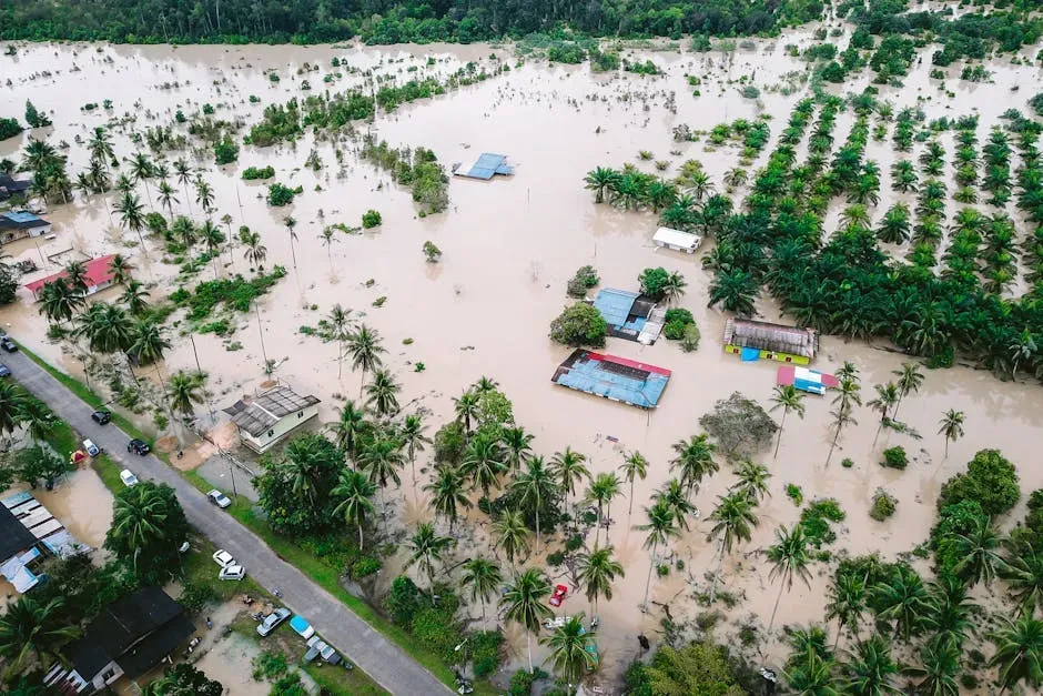
Most flood prone areas struggle because there’s simply too much water. This region has a second problem layered on top of that: the ground can barely absorb any of it. Much of the Hill Country sits atop limestone covered by only a thin layer of rocky soil, so instead of soaking into the ground, rainfall rapidly runs across the surface, producing an extremely fast response whenever intense rainfall develops.
That thin soil layer is the key detail people often miss. In a place with deep, absorbent topsoil, a downpour gets buffered somewhat as water seeps downward before ever reaching a creek. Here, when heavy rain hits the shallow soil and limestone bedrock, it cannot soak in and instead runs off into creeks and streams almost immediately. There’s essentially no buffer between the sky and the stream bed.
Steep terrain accelerates everything downstream
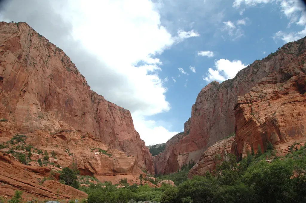
Flat land slows water down. Hilly land speeds it up, and this region is full of hills carved by centuries of erosion along limestone canyons. The steep terrain and limestone canyons that make the Hill Country so picturesque also make it a flood trap, since water runs quickly off exposed bedrock and shallow soils into narrow channels where river levels rise dangerously fast.
The same features that draw tourists for scenic drives and swimming holes become a liability the moment a storm stalls overhead. The “alley” features steep terrain, shallow soil and repeated high rainfall events, and much of the region sits on a floodplain between tall hills that funnels rainfall into rivers and creeks and causes them to rise rapidly. Locals sometimes describe it as a natural funnel, and that’s essentially accurate.
Gulf moisture supplies the fuel
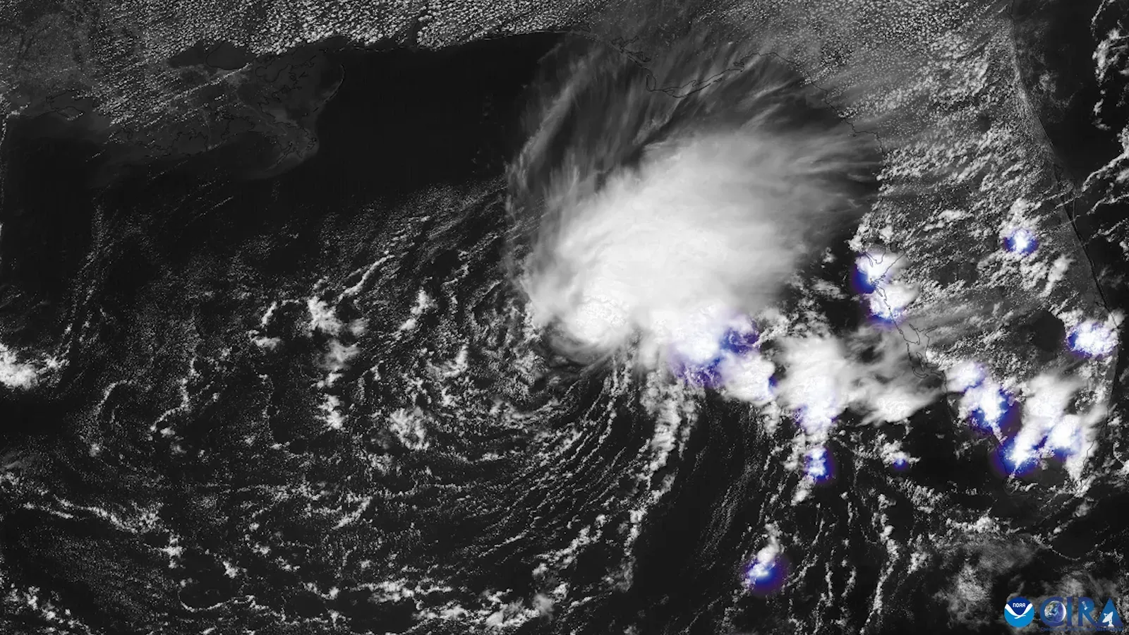
Terrain alone doesn’t cause floods. There has to be enough moisture in the atmosphere to begin with, and this region sits close enough to the Gulf of Mexico to draw in enormous amounts of it. A National Weather Service meteorologist has explained that this part of the country is prone to flash flooding because of a combination of ingredients unique to the region, starting with proximity to Gulf moisture.
When that Gulf moisture interacts with weak summer winds, storms tend to stall rather than move through quickly. Weak summer winds make for slow-moving storms that rain for long periods over the same area. A storm that lingers for hours over one watershed does far more damage than one that passes through in twenty minutes, even if the total rainfall amounts look similar on paper.
Rivers that can rise dozens of feet in under an hour
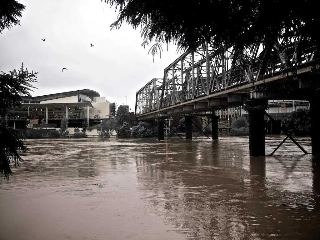
The numbers from actual flood events here are startling even to people who follow weather news closely. When these factors come together, especially after days of rain, rivers can rise dozens of feet in less than an hour, leaving little time for people to escape. That’s not hyperbole from a press release. It’s a documented pattern that has repeated itself across multiple decades.
During the catastrophic flooding of July 2025, gauge data captured just how fast the change happened. A river gauge at Hunt, Texas showed the Guadalupe River rising about one foot every five minutes around 3 a.m. on July 4, and by 4:30 a.m. it had risen more than 20 feet. Other measurements from that same event were even more extreme. The Guadalupe River rose 26 feet within 45 minutes, according to state officials.
The human toll has been severe and repeated
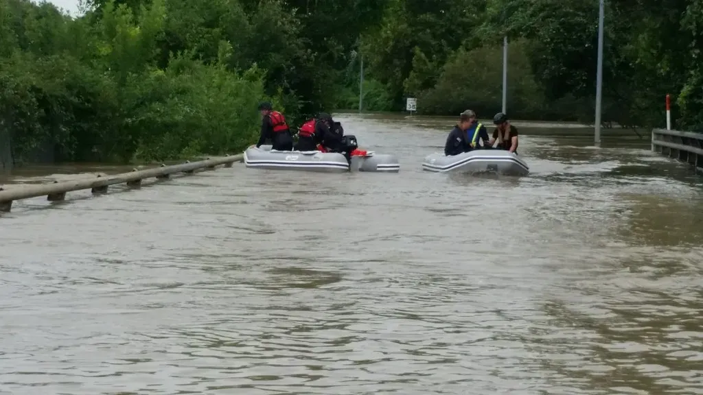
This isn’t a region that floods badly once every few generations. The mortality data stretches back decades and shows a consistent, troubling pattern. Texas as a whole leads the nation in flood deaths by a wide margin, and an analysis of data from 1959 to 2019 found that 1,069 people had died in flooding in Texas over those six decades.
Recent history has only reinforced that record. On July 4, 2025, destructive and deadly flooding took place in the Hill Country region of Texas, and as a result at least 139 people were killed, at least 117 of them in Kerr County. Just weeks earlier, a separate and unrelated event had already killed people in the same broader region. A slow-moving mesoscale convective system dropped six to seven inches of rain over the Beitel Creek watershed in northeast San Antonio on June 12, 2025, sweeping away 14 to 15 vehicles and killing 11 people.
Vehicles are where most fatalities occur
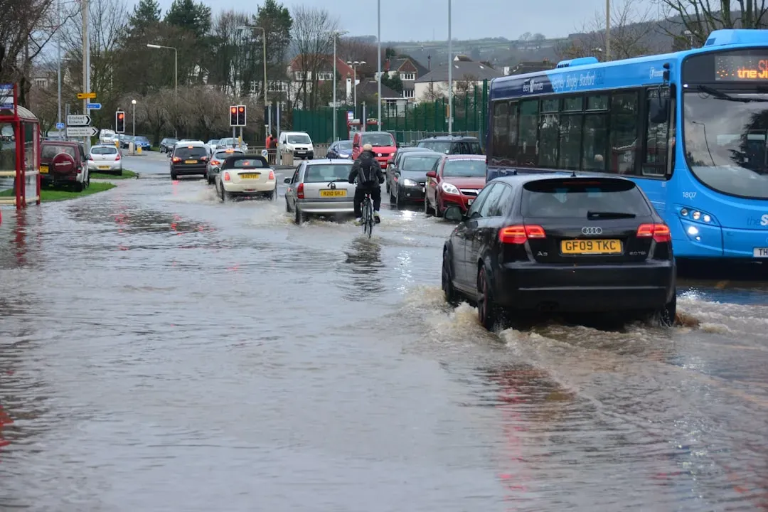
People often assume homes are the biggest danger during a flood. In this region, cars are actually the more common trap. Because these ingredients cause water to rise so rapidly, this area of Texas leads the nation in flash flood fatalities, and a majority of those deaths are vehicle-related because many people underestimate the power of a relatively small amount of water.
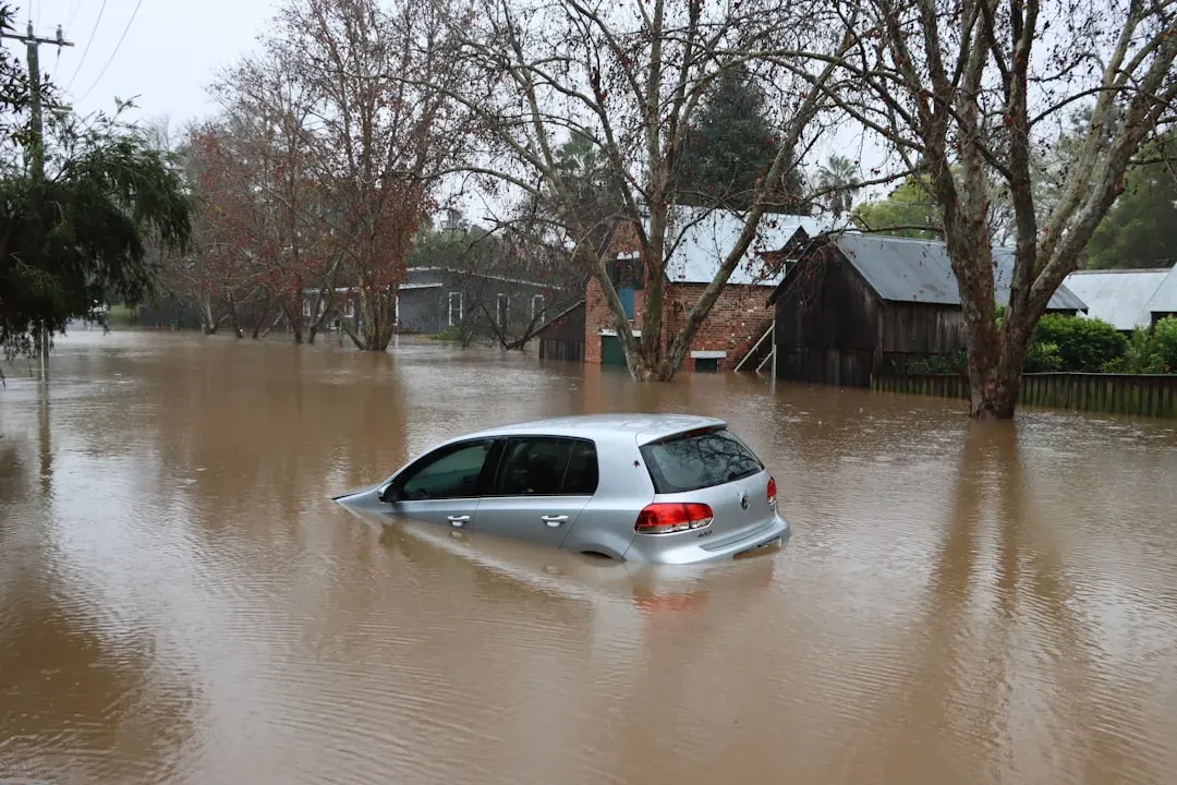
The physics behind that underestimation is worth spelling out plainly. As little as a foot of water can sweep a smaller car off the roadway, which is less water than most people think. Drivers see a shallow looking crossing at night, decide it looks passable, and don’t realize the current beneath the surface is strong enough to lift the vehicle sideways.
A history of disaster stretching back a century
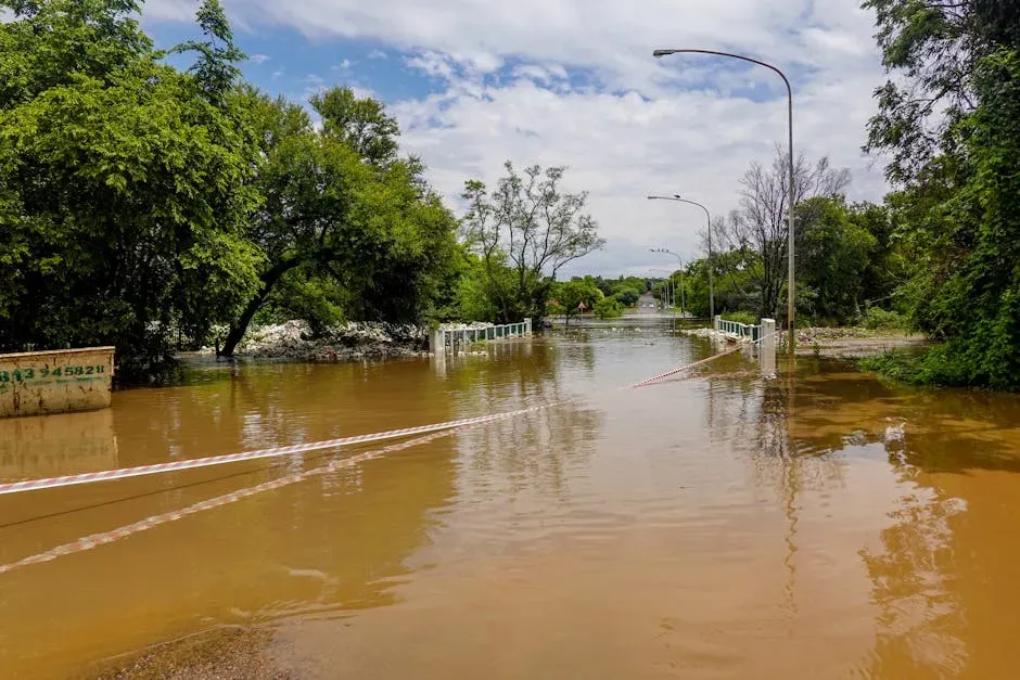
None of this is a new phenomenon tied only to modern development or a single unlucky storm system. Records of severe flooding in this corridor go back to the early twentieth century. A tropical storm brought extreme rainfall to South Texas beginning September 8, 1921, and a wave 12 feet deep flooded downtown San Antonio, killing 51 people, while nearby Thrall recorded 38.2 inches of rainfall in a single day and 87 people drowned in nearby Taylor.
Later decades brought their own tragedies rather than lessons that prevented repeats. In 1987, heavy rain in western Kerr County quickly flooded the Guadalupe River, triggering a flash flood in which ten teenagers being evacuated from a camp died in the rushing water. The parallels between that event and the 2025 disaster, decades later and in nearly the same stretch of river, are hard to ignore.
Warning systems are improving but remain uneven
In the aftermath of the 2025 disaster, state lawmakers pushed to close obvious gaps in the warning infrastructure. Sirens went up in some of the hardest hit communities, and cellphone alert systems were tested during subsequent storms. Newly installed flood sirens sounded in the darkness, warning people to get out, while phones buzzed with alerts that weren’t sent out in last year’s disaster.
Still, the scale of the problem outpaces the scale of the fix so far. Stories of people surprised to find their homes inundated by rising rivers illustrate the challenges of trying to bolster early warning systems in a vast, rural area known as Flash Flood Alley. Twenty-eight additional counties are also eligible for flood warning funding, though most are still in the process of putting together implementation plans for review.
Why this pattern may not be going away soon
Researchers studying this corridor have noted that the underlying physical conditions, steep terrain, thin soil, and a coastline close enough to supply tropical moisture, aren’t changing. If anything, some scientists point to a worsening trend layered on top of an already dangerous baseline. These physiographic characteristics, under warming atmospheric conditions and increasingly extreme precipitation, are not diminishing but intensifying.
That combination of unchanging geography and shifting climate patterns makes this region a case study that other flood prone areas of the country are starting to watch closely. Flash flooding is the leading cause of weather-related mortality in the United States, and no region exemplifies this hazard more acutely than the Texas Hill Country. The lesson isn’t confined to one river basin. It’s a reminder that terrain and soil composition can matter just as much as rainfall totals when it comes to how much warning time people actually get.

- 12 U.S. Cities Where Heat Waves Could Become Much More Common - August 28, 2026
- 12 U.S. Cities Where Summer Temperatures Rarely Become Extreme - August 28, 2026
- The 7 States With the Biggest Differences Between Day and Night Temperatures - August 28, 2026
