

- 10 U.S. Cities Ranked From Lowest to Highest Climate Risk - August 31, 2026
- 12 U.S. Coastal Neighborhoods That Could Be Underwater by 2060 - August 31, 2026
- This Map Shows the U.S. Counties Growing the Fastest Right Now – And It’s Not What You’d Expect - August 31, 2026
Along Alaska’s northern edge, the ground itself is losing its grip. Frozen soil that has held the coastline together for thousands of years is softening, and in some places it is simply falling into the sea. Scientists who study the Arctic Coastal Plain say the changes already underway are a preview of something much larger, and the timeline for that transformation is shorter than most people assume.
Projections built from decades of satellite and field data suggest that by the middle of this century, stretches of Alaska’s Arctic shoreline could look fundamentally different from the maps used today. The story is not just about rising seas. It is about the land underneath giving way at the same time, a combination researchers now describe as a compounding hazard rather than two separate problems.
The ground is sinking, not just eroding
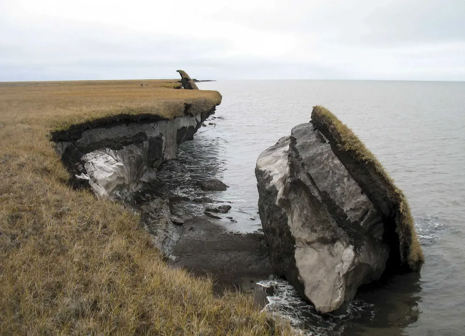
For decades, scientists tracked Arctic coastal erosion largely as a matter of waves chewing away at bluffs. Newer research led by the Woods Hole Oceanographic Institution and the U.S. Geological Survey has shown that permafrost thaw causes the land surface itself to subside, sinking even where waves never touch it. In the Arctic, which is warming at nearly four times the global average, the combined forces of permafrost thaw, rising seas, and coastal erosion could reshape the landscape far faster than previously believed.
This subsidence happens because ice within the soil melts and the ground loses volume, much like a sponge collapsing after it dries out unevenly. Along ice-rich permafrost coastlines, the land surface is falling faster than the sea levels are rising. That detail matters because it means some areas will flood even without a single wave reaching them.
A 2100 projection with 2060 implications
The headline number from the 2024 study published in the Proceedings of the National Academy of Sciences is stark. By 2100, unless coasts respond differently to future change, these compound effects may transform 6-8x more land than erosion alone may impact. That is not a small adjustment to existing forecasts; it is a reframing of what the coastline’s future actually looks like.
By 2060, roughly the midpoint of that century-long projection, the trajectory should already be visible in retreating bluffs, sinking tundra, and villages further along in relocation than they are today. By 2100, the combined effects of coastal erosion, sea level rise, and permafrost thaw subsidence will likely push the North Slope shoreline inland to a location it hasn’t reached since the last interglacial period over 100,000 years ago. Reaching the halfway point of that shift by 2060 is a realistic middle scenario, not a worst case.
Sea levels rising on top of sinking land
Sea-level rise alone would be manageable in many places. Combined with a sinking coastline, it becomes a different kind of problem entirely. By 2100, sea level at Prudhoe Bay, Alaska, is projected under mid/high emissions scenarios to reach 0.97 m above present levels.
That figure represents open water rising against a shoreline that is simultaneously dropping due to permafrost loss. Researchers note this creates nonlinear jumps in flood risk rather than a smooth, predictable increase. Communities built decades ago on land assumed to be stable now sit on a moving target, and engineers have to plan for two forces acting at once instead of one.
Villages already living the preview
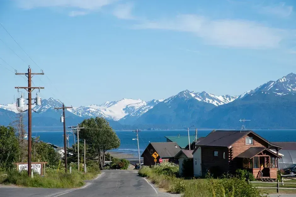
Some Alaska Native communities are not waiting for 2060; they are experiencing an early version of it right now. Recent erosion rates in Newtok have averaged 90 feet per year, and the average rate of erosion occurring near Newtok from 1954 to 2003 was measured to be 68 feet per year. The community began planning its move decades ago and has spent years relocating residents to Mertarvik, a new site nine miles away on Nelson Island.
Kivalina faces a similarly urgent situation. Increasing coastal storms, thawing permafrost, and chronic shoreline erosion continue to threaten both life and property on the island, particularly as the Strategic Management Plan warned that Kivalina could become uninhabitable by 2025. That deadline has already passed without a completed relocation, illustrating how far reality can lag behind the urgency of the science.
Shishmaref’s shrinking shoreline
Shishmaref sits on a narrow barrier island in the Chukchi Sea, and its situation shows how protective measures buy time without solving the underlying problem. Shishmaref depends on the ice surrounding the island for protection, food, and water, and in recent decades has lost 40% of the ice that protects it from storm surges reaching the island. More than twenty homes have already had to be evacuated as the shoreline has narrowed.
Money spent trying to hold the line gives a sense of scale. More recent estimates are that over $25 million has been spent to attempt to hold back the sea in Shishmaref. Seawalls and rock revetments slow erosion in specific spots, but they do nothing about the permafrost thawing beneath the island itself, which is the deeper structural issue driving the retreat.
Infrastructure at risk beyond the villages
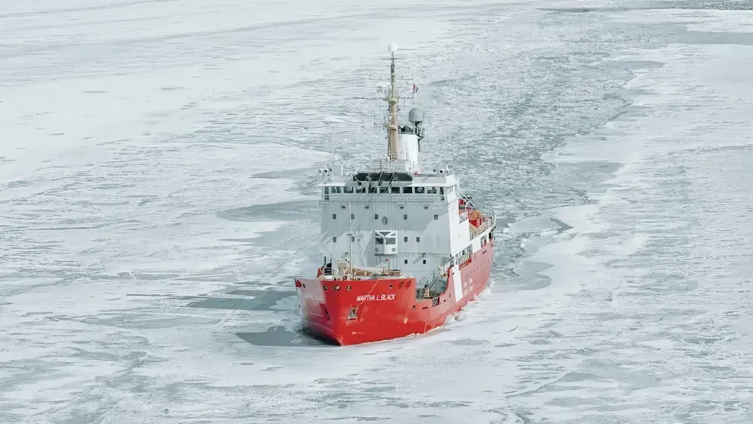
The Arctic Coastal Plain is not only home to Indigenous communities. It also holds oil and gas infrastructure and military installations, all built on the assumption of permanently frozen ground. Alaska’s Arctic Coastal Plain is home to Indigenous communities, as well as oil and gas infrastructure and military installations, all of which rely on stable, permanently frozen land.
The same 2024 research quantified the risk to that built environment directly. Without mitigating measures, coastal change could damage 40 to 65% of infrastructure in present-day coastal villages and 10 to 20% of oilfield infrastructure in the region by 2100. Roads, pipelines, and airstrips designed for frozen soil face a future where that soil no longer behaves the way engineers expected when the structures were built.
Utqiagvik’s fight to hold ground
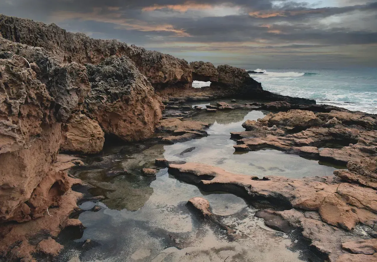
Utqiagvik, formerly known as Barrow and the largest community on Alaska’s North Slope, offers a real-time example of a town trying to slow the process rather than abandon the site. The Barrow Coastal Erosion Project, slated to finish in 2033, has already erected a large stretch of reinforcing stone wall along part of the shoreline, and aims to continue that effort with more rock walls, berms, and even raising oceanside infrastructure to withstand storm surge.
Longtime residents describe the change as gradual but unmistakable once you have lived through enough of it. Driving along the coast and looking out at the Beaufort Sea, one resident recalled that when he was a kid the beach stretched much farther out from the road; now, navigating tight spaces between houses and the steep drop off to the sea, that erosion has worn it down to a fraction of its former size. Engineering can slow the timeline in a specific location, but it cannot reverse the underlying thaw driving the region’s broader retreat.
Carbon released as the land disappears
The coastline story has a second dimension that rarely makes headlines: what happens to the carbon locked inside that thawing ground. Permafrost holds vast stores of organic matter that has been frozen for millennia, and once it thaws or erodes into the sea, that material can break down and release greenhouse gases. Researchers describe this as a feedback loop, where warming causes thaw, thaw releases carbon, and that carbon contributes to further warming.
The scale of this release along Alaska’s Beaufort Sea coast is still being calculated, but scientists involved in the recent PNAS study have begun building estimates specifically for this century. It adds an atmospheric consequence to a problem that might otherwise be framed purely in terms of lost land and displaced towns. The coastline retreating by 2060 is not an isolated local event; it is tied into the same carbon cycle driving warming everywhere else.
How many communities are actually exposed
The scope of exposure across the state is larger than the handful of famous relocation cases suggest. More than 70 of Alaska’s 200-plus Alaska Native villages face significant environmental threats from erosion, flooding, or thawing permafrost, according to the U.S. Government Accountability Office. A newer statewide assessment released in late 2025 sharpened that picture further.
According to the statewide assessment, combining erosion, floods and melting permafrost puts Shaktoolik at the top of a list of threatened villages, with Shishmaref, Kivalina, Golovin, Napakiak, Alakanuk, Newtok, Unalakleet, Savoonga and Kotlik also in the top 10. By 2060, without significant investment in relocation or protective infrastructure, a meaningful share of these communities could be facing decisions similar to the ones Newtok confronted twenty years ago, only with less time to act and fewer stable sites left to move to.
The gap between science and action
What stands out most in Alaska’s coastal story is not a lack of warning. Communities have known about these risks for decades, sometimes since the 1980s, yet the pace of actual relocation has been slow. Moving the entirety of Newtok to its new location is anticipated to cost an estimated $80 to 130 million, and relocation efforts have been delayed for a variety of reasons, including funding constraints.
That funding gap is not unique to one village. Villages’ attempts to move have been hindered by the fact that there is no single federal agency coordinating erosion aid efforts, and federal law does not recognize unincorporated Native villages as eligible for certain community development grants. Without changes to how relocation is funded and coordinated, the science describing what the coastline could look like by 2060 may outpace the practical ability of communities to respond to it.
