

- Ice Bombs Falling Out of Sunny Skies – The Rare Atmospheric Glitch Behind Cloudless Hail - November 17, 2026
- Shorter Freezes, Double the Intensity – The Volatile Dynamic Dominating the 2026 Winter Forecast - November 17, 2026
- Water Temperatures Are Off the Charts – The Super El Niño Threat Brewing for Winter Storms - November 17, 2026
You’re standing in a calm, bright afternoon, and then a shove of wind arrives from nowhere. Leaves flip, a hat leaves a head, and thirty seconds later the air goes still again. Nothing on the sky looks responsible.
Meteorologists have fairly well-established explanations for these moments. Most involve rising warm air that doesn’t hold together, and the cooler air that has to go somewhere when it fails.
How Sunshine Builds Rising Air

Sunlight warms the ground more efficiently than it warms the air above it. The air touching the surface heats up, becomes lighter than its surroundings, and begins to rise in irregular bubbles and plumes called thermals. Dark pavement, bare soil and dry fields heat faster than water, forests or damp grass, so thermals tend to start over those patches.
This is why the daytime lower atmosphere is turbulent. Meteorologists call it the convective boundary layer, and it typically deepens through the morning and reaches its greatest depth in the afternoon. Over dry land in warm seasons it can reach well over a mile high.
A Thermal Is a Pulse, Not a Pillar
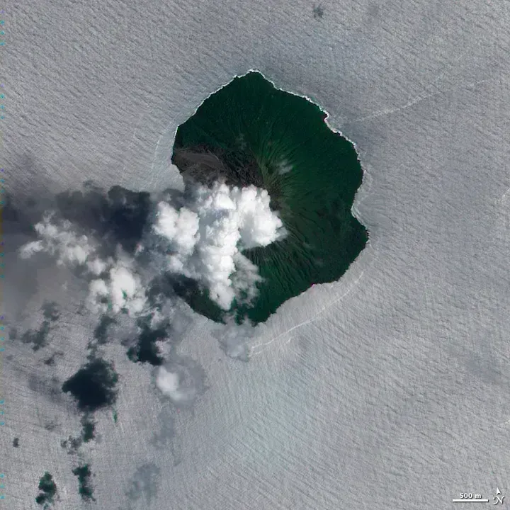
The phrase “air column” suggests something steady, like a chimney. In reality, a thermal is closer to a series of bubbles or short-lived plumes that form, rise and break apart. Glider pilots know this well, because lift comes and goes as they cross the same ground.
When the supply of heated surface air slows, the rising plume loses its source. Cloud shadows, shifting breezes or a depleted patch of warm ground can all cut that supply. Once the feed stops, the plume has no way to sustain itself.
Mixing Eats Away at the Plume
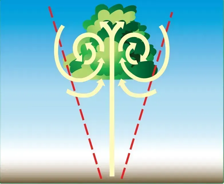
As a thermal rises, it pulls in surrounding air along its edges, a process known as entrainment. That outside air is cooler and often drier, so it dilutes the thermal’s warmth and lowers its buoyancy. A thermal that begins strongly can lose its edge surprisingly fast.
Turbulence at the plume’s boundary speeds this up by folding the environment into its core. Smaller thermals suffer most, since they have more edge compared to their volume. Larger plumes survive longer, which is one reason broad, strongly heated areas produce more persistent lift.
Reaching the Ceiling and Sinking Back
Thermals rise until they meet air that is as warm as they are. Often that’s a stable layer or temperature inversion, which acts like a lid on the boundary layer. A plume can overshoot slightly because of momentum, then it falls back as it finds itself cooler than the air around it.
That return flow is part of the overturning circulation in the boundary layer. Rising air in narrow, vigorous plumes is balanced by slower, broader sinking air between them. Some of that sinking air reaches the surface as a noticeable puff.
Where the Displaced Air Goes

Air can’t rise in one place without something replacing it. Cooler air flows in at the surface toward the heated spots, and descends elsewhere to complete the loop. When a strong thermal releases or breaks up, the nearby air readjusts, sometimes in a few quick gusts.
The effect is usually modest, a flutter of wind rather than a blast. Still, in dry, hot conditions with many competing thermals, the surface air can feel restless, with alternating lulls and pushes. Dust devils are the visible version, showing rotating columns that form and decay in minutes.
Momentum From Higher Up

Winds usually get faster with height, because friction slows the air near the ground. During the day, convective mixing stirs the lower atmosphere and can pull faster-moving air down toward the surface. That’s why gusts often become stronger and more frequent in the afternoon, even when the overall weather pattern hasn’t changed.
A sinking pocket of air from higher up can carry its faster horizontal motion with it. When it hits the ground and spreads out, you feel a sudden push from one direction. At night, as surface cooling stabilizes the air, this mixing weakens and winds near the ground often ease.
Evaporation and Cloud-Based Downdrafts
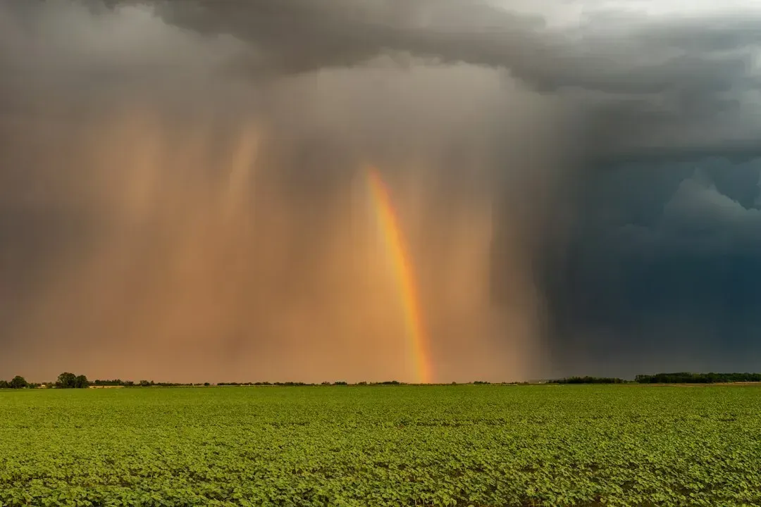
Some sudden winds on sunny days come from clouds that are rooted a few miles away. When rain or ice falls into dry air below a cloud, evaporation cools the air, making it denser, and it plunges downward. On reaching the surface it spreads outward as a gust front, which can travel a considerable distance from the parent cloud.
A dry microburst is the extreme form, often seen in arid regions where precipitation evaporates before reaching the ground. The sky overhead may look mostly clear, with only trailing streaks of rain called virga. The National Weather Service recognizes these downbursts as a hazard, especially to aircraft during takeoff and landing.
Sea Breezes, Terrain and Local Boundaries
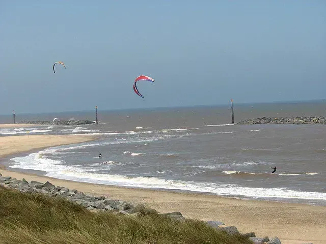
Uneven heating also creates larger scale pushes. On sunny coastlines, the land warms faster than the sea, so cooler marine air advances inland as a sea breeze, sometimes with a sharp leading edge. Its arrival can change wind direction and speed within minutes.
Mountains do something similar, as sun-warmed slopes drive upslope winds that can switch abruptly when shade or cloud interrupts the heating. Where two such flows collide, rising air concentrates along the line. When that lift fades, the redistribution of air can create short wind surges.
Reading the Signs Outdoors

Clues often show up before the wind does. Small cumulus clouds that form and quickly vanish, swirling dust or leaves, and wind that alternates between calm and brisk all point to active thermals. A distant shower with a hazy, ragged base suggests outflow may be coming.
Pilots, sailors and hikers watch for these patterns since gusts can be stronger than the average wind forecast suggests. Forecasts typically give both a sustained speed and a gust value, and the gap between them signals how mixed the lower atmosphere is likely to be. A large gap on a clear afternoon means surface winds will likely come in pulses.
