
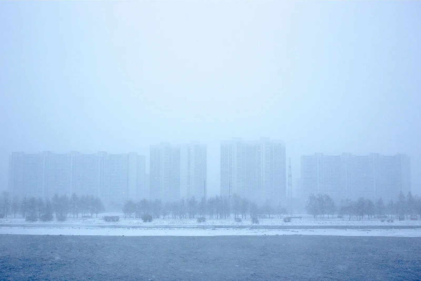
1. La Niña and El Niño conditions in the Pacific
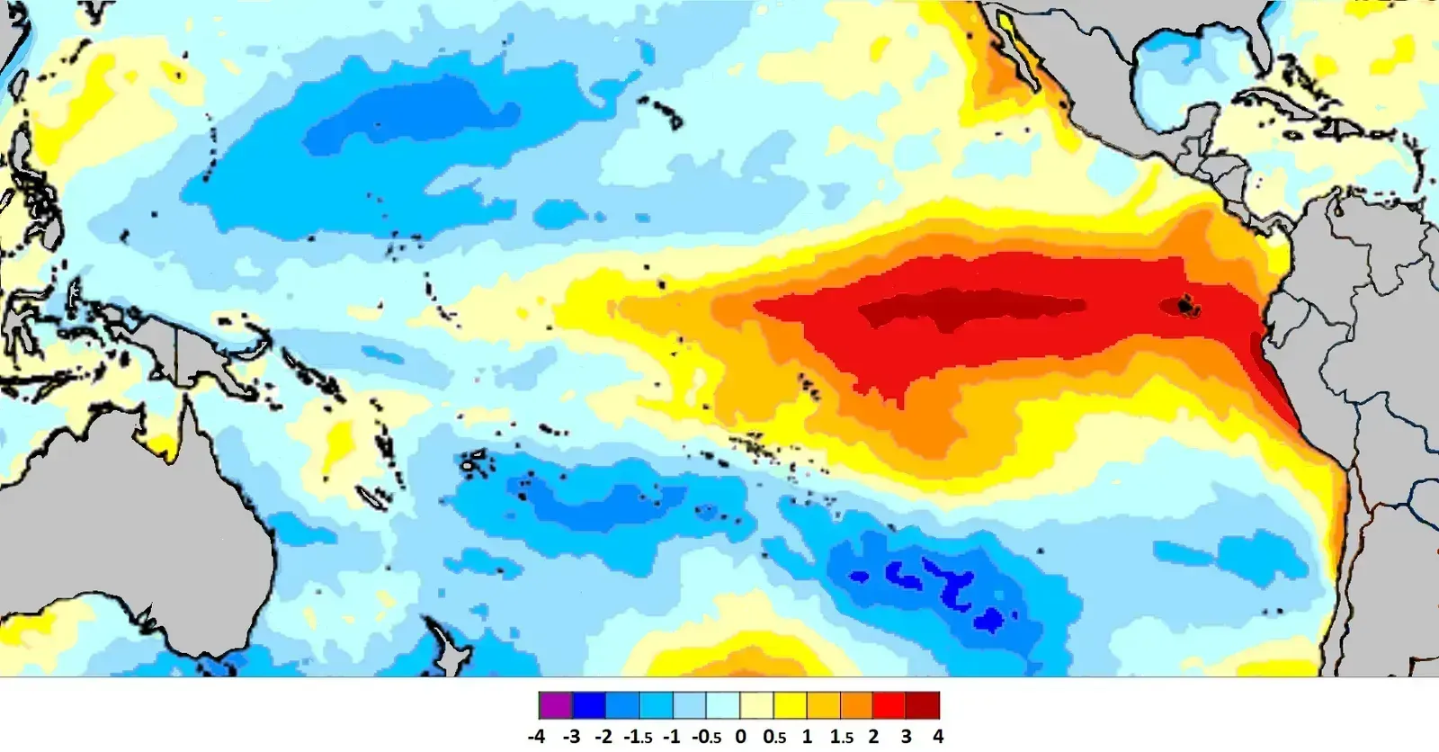
The El Niño Southern Oscillation, or ENSO, remains one of the most reliable long-range indicators meteorologists use. La Niña is a cold phase of the large oceanic ENSO oscillation, a region of the tropical Pacific Ocean that shifts between cold and warm phases. Its opposite phase, El Niño, tends to nudge storm tracks and temperature patterns in the opposite direction across North America.
For the 2025–2026 season, forecasters flagged a weak La Niña as a key driver, while attention shifted toward a much stronger signal for the following winter. El Niño is the warm phase of the ocean-atmosphere pattern in the tropical Pacific, and in 2026 it has strengthened quickly, with NOAA reporting an 81% chance of a very strong event during October through December and a 97% chance it lasts through early spring 2027. When either phase runs strong, it becomes one of the clearest early signals of how a winter might behave.
2. The stability of the polar vortex
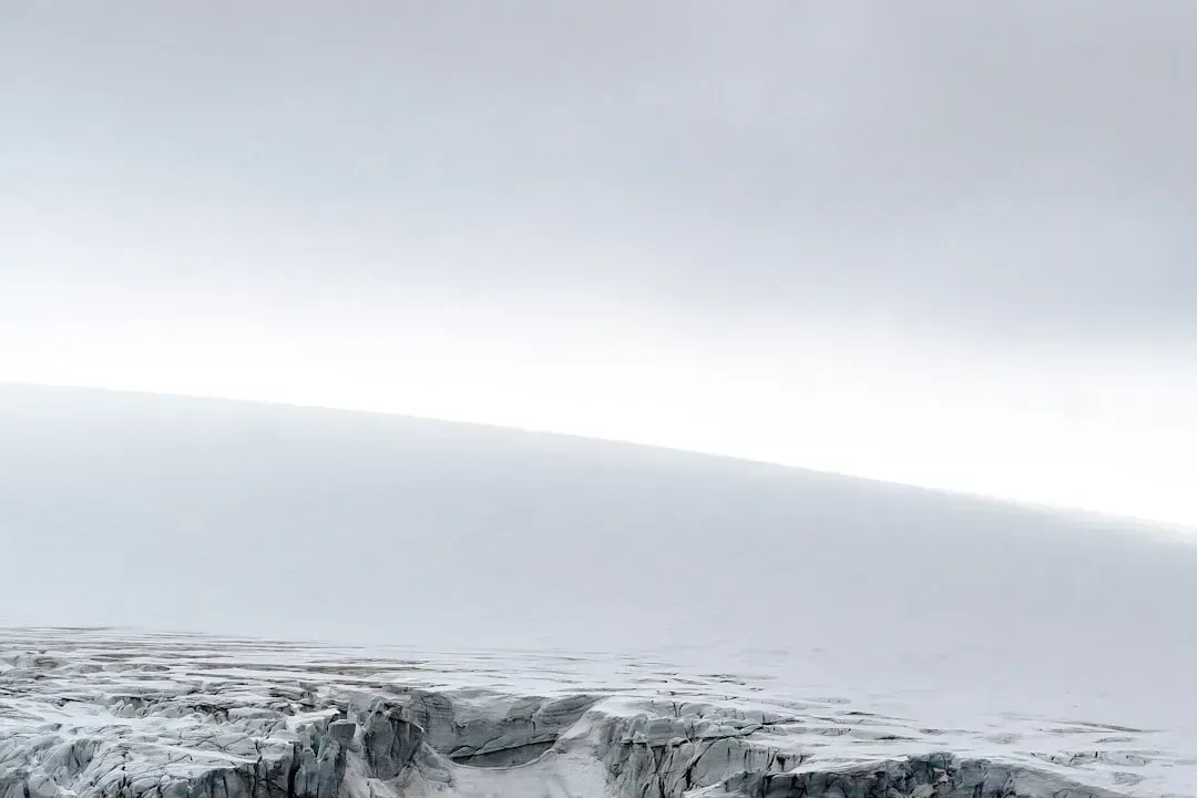
The polar vortex gets a lot of attention every winter, and for good reason. It is a large cyclonic area that spins over the entire Northern Hemisphere and re-emerges every fall, playing a key role in weather development over winter and into spring. Its behavior, more than almost any other factor, determines whether cold air stays locked up near the pole or spills southward.
There are essentially two modes worth watching. A strong or stable polar vortex usually means strong polar circulation and a stable jet stream, which contains the colder air in the far north and creates milder conditions for most mid-latitude regions. A weaker or wobbly vortex, by contrast, tends to open the door for the kind of arctic intrusions that make winter feel much harsher than average.
3. Sudden stratospheric warming events
Sudden stratospheric warming, often shortened to SSW, is one of the more dramatic signals forecasters watch for. These events involve a rapid temperature spike high above the pole that can knock the polar vortex off balance entirely. When they happen early in the season, the downstream effects on winter weather can be significant and long lasting.
Historical data shows just how rare early season SSWs actually are. Checking past data revealed only three stratospheric warming events that occurred this early in the season in the past seventy years, in 1958, 1968, and 2000, with stratospheric warmings in November, two of which had a full wind reversal. Those early events created a cold weather pattern over Canada and the United States, except for the southwest.
4. Siberian snow cover in autumn
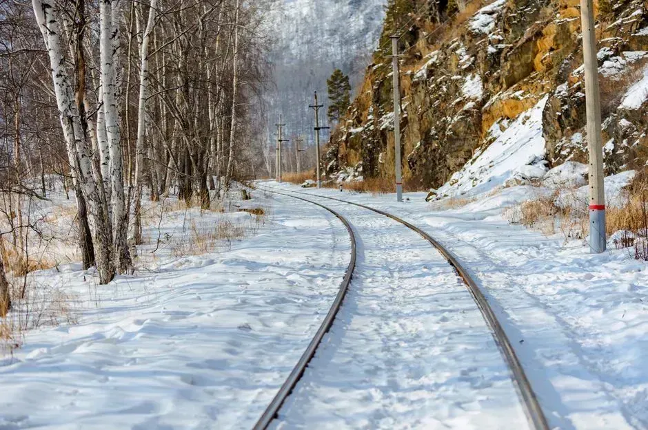
One of the more unusual but well documented signals comes from a place most Americans never think about when checking the weather. Meteorologist Judah Cohen has spent years studying how snow builds up across Siberia each fall. His method correlates October’s snow cover in Siberia with the severity of winter weather in the central and eastern U.S., and his forecasts have shown a remarkable 75% accuracy rate over the past two decades.
The physical explanation ties directly back to how the polar vortex behaves. Cohen et al. concluded that the increase of Eurasian snow cover in October can weaken the winter stratospheric polar vortex, leading to a negative Arctic Oscillation by February. The reflective snow itself plays a direct role too, since the reflective nature of Siberia’s snow cover sends 70% to 80% of the sun’s heat back into space, influencing large-scale climate patterns.
5. Rapid Eurasian snow expansion in October and November
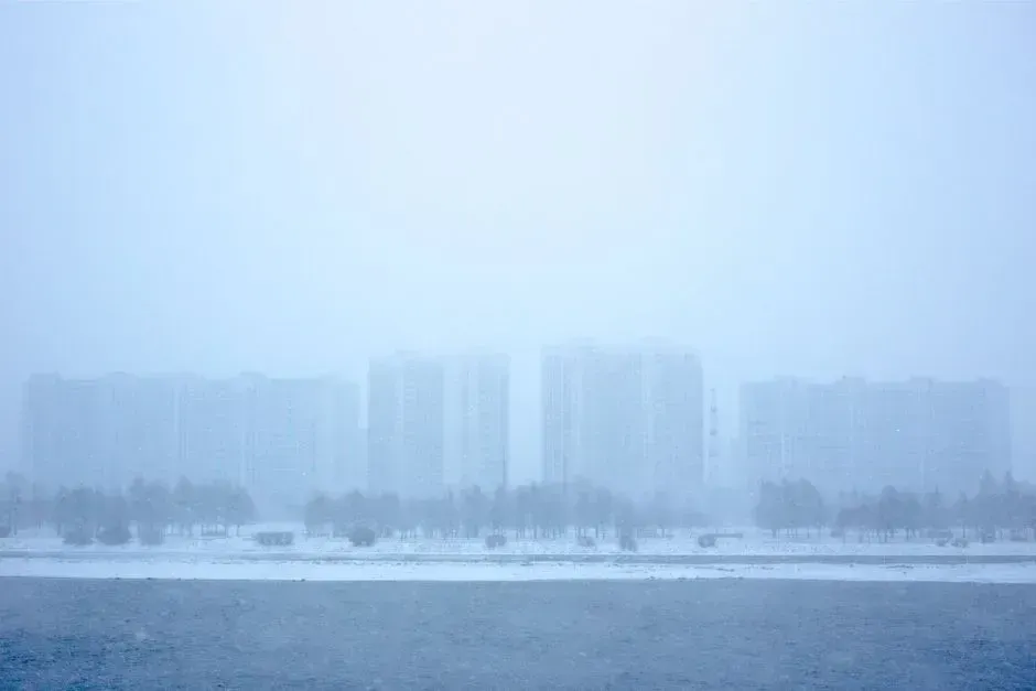
Beyond the raw amount of snow, the speed at which it accumulates matters just as much. Scientists have found that quick, intense snowfall across high latitude Eurasia sets off a specific chain reaction in the atmosphere. As Eurasian snow grows rapidly in October and November, radiative cooling over the continent intensifies and strengthens the Siberian high, altering the distribution of temperature and pressure in a way that favors the growth of stationary planetary waves.
Those waves do not stay near the surface. They propagate upward and poleward, and under the right background conditions can reach the lower stratosphere, where they begin to decelerate the polar-night jet and warm the stratosphere, setting the stage for a possible weakening or distortion of the polar vortex. This is why forecasters pay close attention to how fast snow spreads across Siberia, not just how much territory it eventually covers.
6. Arctic sea ice extent, especially in the Barents and Kara Seas
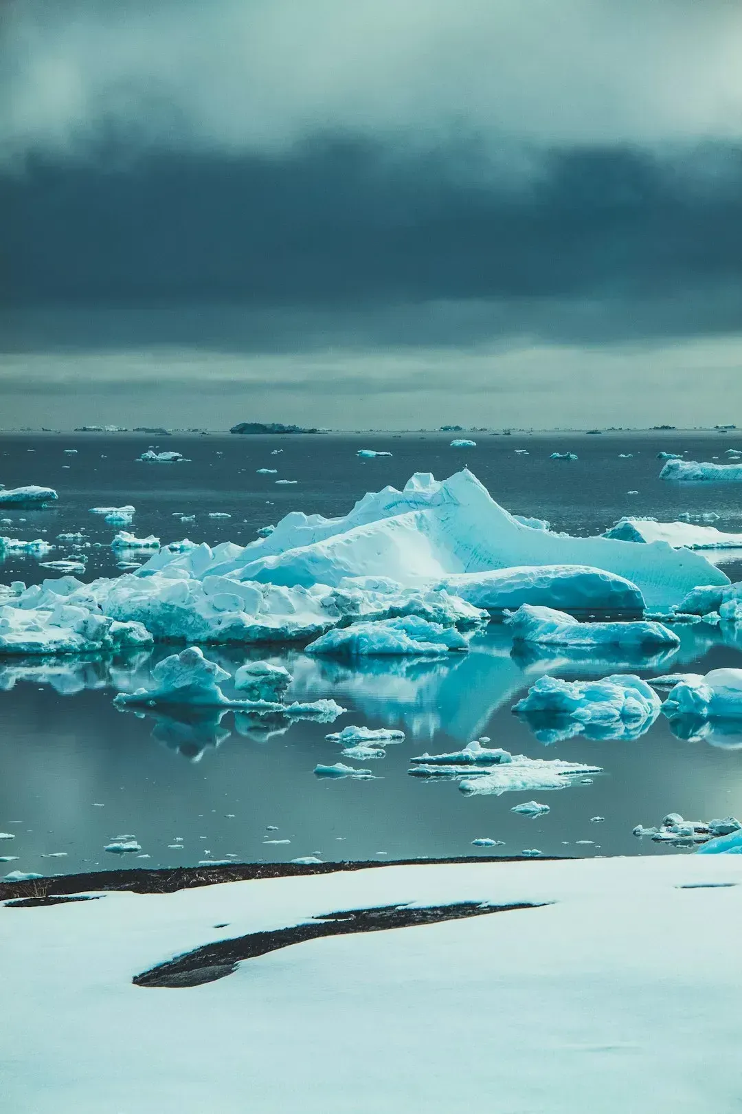
Sea ice might seem like a distant, unrelated factor, but its extent around the Arctic Circle feeds directly into the same stratospheric processes driving winter severity. Thinner or reduced ice in specific regions allows more heat to escape from the ocean into the atmosphere, which can destabilize patterns far to the south. Low Barents and Kara sea ice can add more pressure on the polar system, increasing the need to monitor the stratosphere from late autumn into mid-winter.
This factor rarely acts alone. It tends to combine with snow cover trends and ENSO phase to either reinforce or offset each other, which is part of why long-range winter outlooks come with real uncertainty attached. Forecasters treat sea ice less as a standalone predictor and more as a multiplier that can intensify whatever else is already happening in the atmosphere that season.
7. A wavy jet stream and shifting storm track
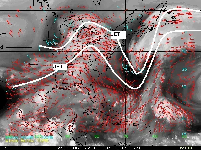
The jet stream is the fast-moving river of air that steers most weather systems across the mid-latitudes, and its shape each winter says a lot about what is in store. A flat, straight jet stream tends to keep weather patterns steady and generally milder. A wavy one, full of deep dips and ridges, tends to drag arctic air much farther south than usual.
Recent seasonal outlooks have leaned heavily on this exact signal. NOAA forecasters indicated that the current setup for winter would generally feature a weaker polar vortex, leading to periods of a more wavy jet stream that would allow more frequent intrusions of arctic air into the middle latitudes. When forecasters mention a wavier jet stream in seasonal discussions, it is usually shorthand for an increased risk of sharp cold snaps reaching areas that do not typically see them. Taken together, these seven signals rarely point in the exact same direction at once, and that is precisely why seasonal forecasting still carries real uncertainty even with decades of research behind it. ENSO phase, polar vortex stability, stratospheric warming events, Siberian snow behavior, sea ice extent, and jet stream shape all interact in ways that shift from year to year. Watching how they line up gives a reasonable sense of the odds, even if the exact timing and location of any single cold snap remains difficult to pin down months in advance.

- 7 Weather Patterns That Can Signal a Tough Winter Ahead - August 26, 2026
- 9 American Cities Where the Weather Changes Dramatically Within Hours - August 25, 2026
- The 7 States With the Most Comfortable Summers in America - August 25, 2026
