

- Alaska’s 1,578-Foot Tsunami Was the Second-Tallest Ever Recorded - May 8, 2026
- The 7 Reasons Sunsets Look Different Than They Did 50 Years Ago - May 8, 2026
- 8 Lakes That Are Drying Up Across America - May 8, 2026
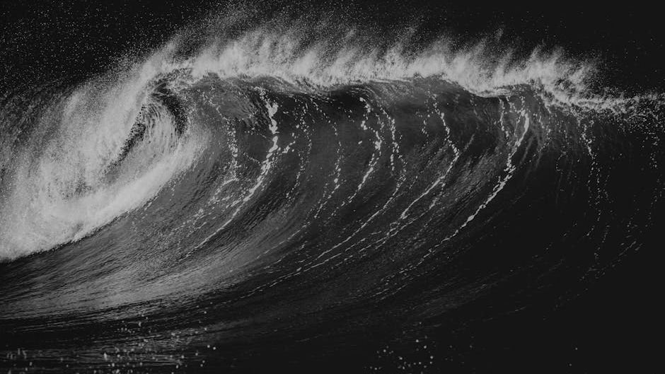
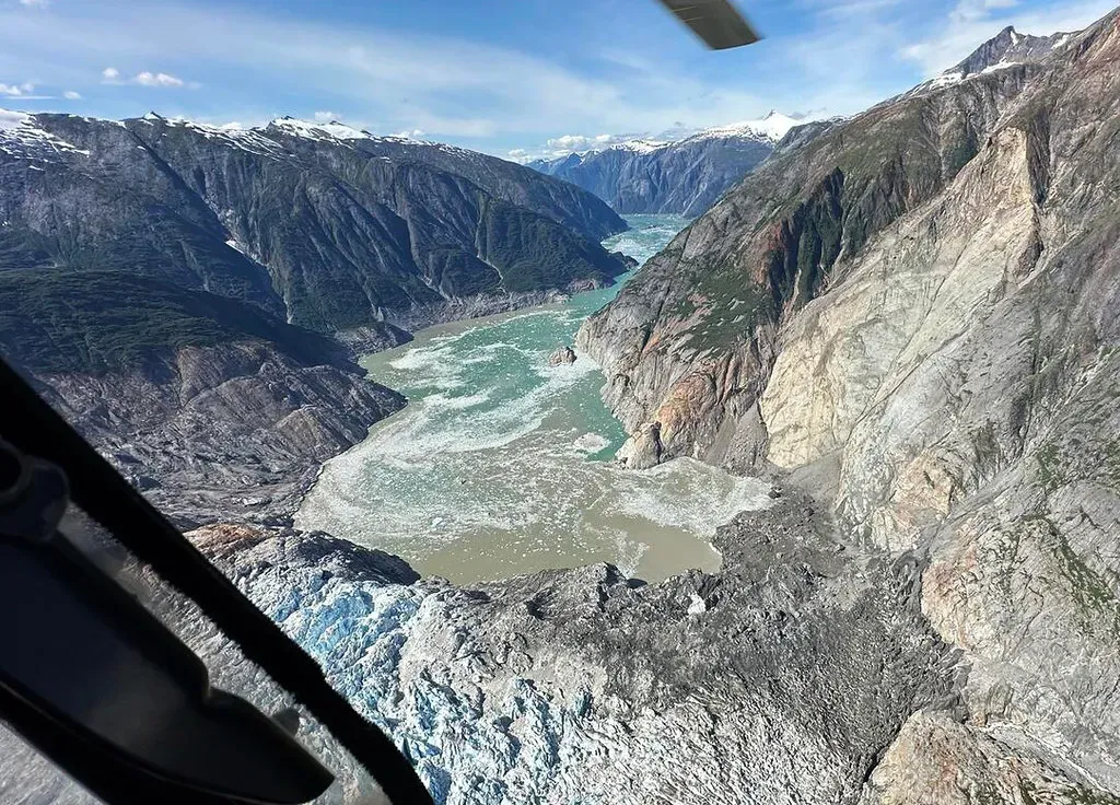
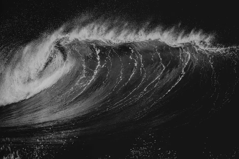
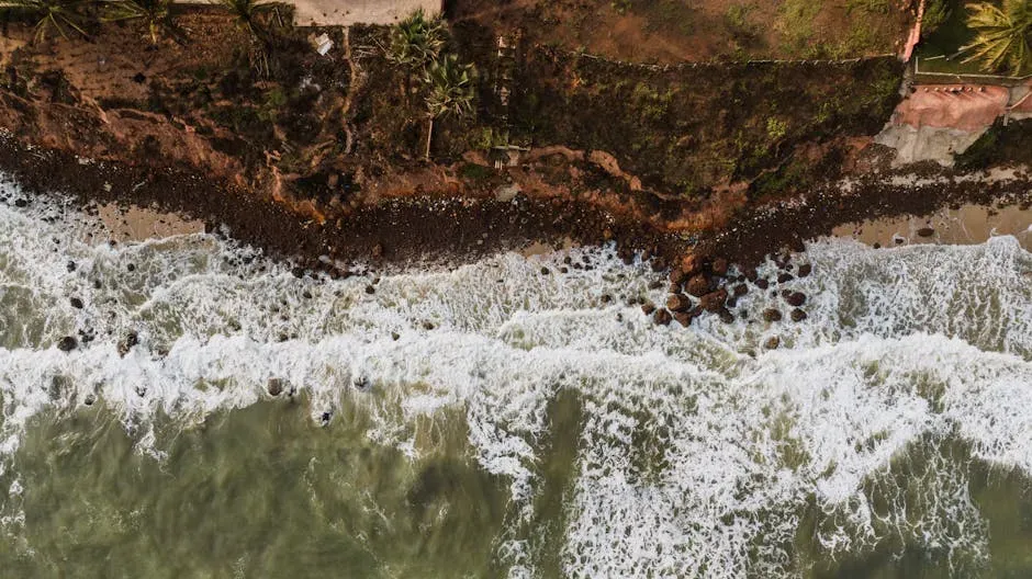
In the quiet hours before dawn on August 10, 2025, a massive landslide in Alaska’s remote Tracy Arm Fjord unleashed a wave that scientists now rank as the second-tallest tsunami ever documented. The event sent water surging up steep slopes to a height of 1,578 feet, a staggering measurement confirmed through detailed field studies and modeling released in early 2026. This megatsunami, though unseen by most, highlights the raw power hidden in Alaska’s glacial landscapes.
Unlike ocean-spanning tsunamis from earthquakes, this one stayed local yet reached heights that dwarf many famous landmarks. Researchers from the University of Alaska and federal agencies pieced together the story from debris patterns, water marks, and eyewitness reports from nearby vessels. The findings quickly captured attention because they placed this wave just behind the legendary 1958 event in Lituya Bay.
The Sudden Landslide That Set Everything in Motion
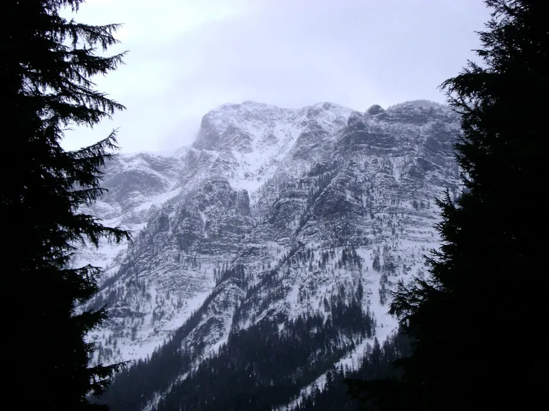
A huge section of steep mountainside gave way without warning in the early morning darkness. The rock and debris plunged into the narrow fjord waters, displacing an enormous volume of liquid in seconds. Scientists later estimated the slide involved millions of cubic yards of material loosened by years of glacial retreat.
The impact created an instant splash that raced outward in all directions. Because the fjord walls are so confined, the energy had nowhere to go but up the slopes. This rapid sequence turned a simple rockfall into one of nature’s most dramatic displays.
Tracing the Wave’s Massive Scale
Measurements taken along the shoreline showed the water climbed an incredible 1,578 feet above sea level at its highest point. That elevation sits well above the treeline in many spots and left clear scars where vegetation was stripped away. The run-up distance stretched nearly two miles from the landslide site in places.
Teams used drones, satellite imagery, and on-the-ground surveys to map every detail of the wave’s path. These efforts revealed how the water funneled through the tight geography before slamming into the opposite shore. The data left little doubt about the wave’s extraordinary reach.
How It Stacks Up Against History’s Giant
The 1958 Lituya Bay tsunami remains the tallest on record at roughly 1,720 feet, triggered by a similar landslide in another Alaskan fjord. That earlier wave also cleared trees high on the slopes and was witnessed by a few survivors who lived to tell the tale. The 2025 event comes remarkably close in scale despite occurring decades later.
Both disasters share the same basic mechanism of a massive rockfall hitting confined water. Yet the newer one benefited from modern instruments that captured precise run-up data almost immediately. This comparison underscores how rare these megatsunamis truly are in recorded history.
Why No One Was Hurt Despite the Power
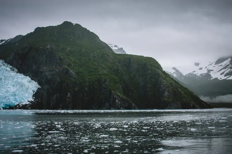
The wave struck around 5:30 a.m. local time when few boats or kayakers were out on the water. Tracy Arm is a popular cruise destination, but schedules keep most vessels away during those pre-dawn hours. A handful of early observers noticed unusual water movement but faced no direct danger.
Because the event happened in such a remote stretch, emergency systems never had to activate. The absence of casualties stands in sharp contrast to the wave’s size and serves as a reminder of timing’s role in natural disasters. Still, the close call prompted quick reviews of safety protocols for the area.
Climate Change as a Silent Contributor
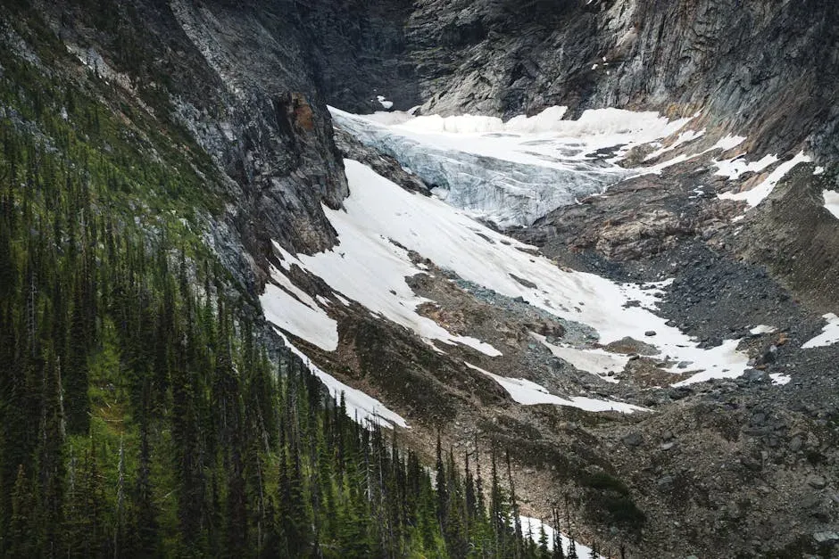
Glacier retreat in the region has exposed steeper, less stable slopes over recent decades. Warming temperatures weaken the permafrost and ice that once held rock faces together. Experts point to these changes as factors that likely increased the chance of the 2025 slide.
While no single event can be blamed solely on climate trends, the pattern fits broader observations across Alaska’s coastal mountains. Continued monitoring shows more frequent small slides in similar settings. This connection adds urgency to ongoing research into how warming reshapes these landscapes.
The Rigorous Science Behind the Discovery
A peer-reviewed study published in May 2026 combined eyewitness accounts with high-resolution mapping to verify the 1,578-foot measurement. Researchers cross-checked water marks against computer simulations of the landslide impact. The work ruled out any exaggeration and confirmed the wave’s place in the record books.
Multiple agencies, including the U.S. Geological Survey, contributed data from seismic sensors and tide gauges in the fjord. Their combined evidence painted a clear picture of what unfolded that August morning. The transparent process helped build wide acceptance of the findings among the scientific community.
Alaska’s Fjords: A Hotspot for Megatsunamis
Alaska’s narrow inlets and steep walls create perfect conditions for landslide-generated waves to reach extreme heights. Historical records show several other large events in the state over the past century, though none matched the scale of these two giants. The geography funnels energy upward rather than letting it spread out.
Local communities and tour operators have long known about the risk, yet the remote nature of many fjords keeps most people at a safe distance. Regular geological surveys help track unstable slopes before they fail. This ongoing vigilance remains essential in a region shaped by both ice and rock.
What This Means for Future Preparedness
The 2025 event has already sparked discussions about better early-warning systems for remote coastal areas. Even with zero casualties, the lack of advance notice highlighted gaps in monitoring networks. Scientists recommend expanded sensor coverage along popular fjord routes.
Public education campaigns now emphasize recognizing signs of potential slides, such as unusual rockfalls or water level changes. While perfect prediction may never be possible, these steps can reduce future surprises. The story serves as a quiet call to respect the forces still reshaping Alaska’s wild shores.
Looking Ahead in a Changing World
Events like this remind us that Earth’s most dramatic displays often unfold far from crowds yet carry lessons for everyone. As glaciers continue to retreat, similar slides may become more common in the decades ahead. Staying informed and prepared offers the best defense against nature’s occasional surprises.
In the end, the 1,578-foot wave stands as both a record and a warning, proof that even in our modern age the planet can still deliver unforgettable spectacles.