
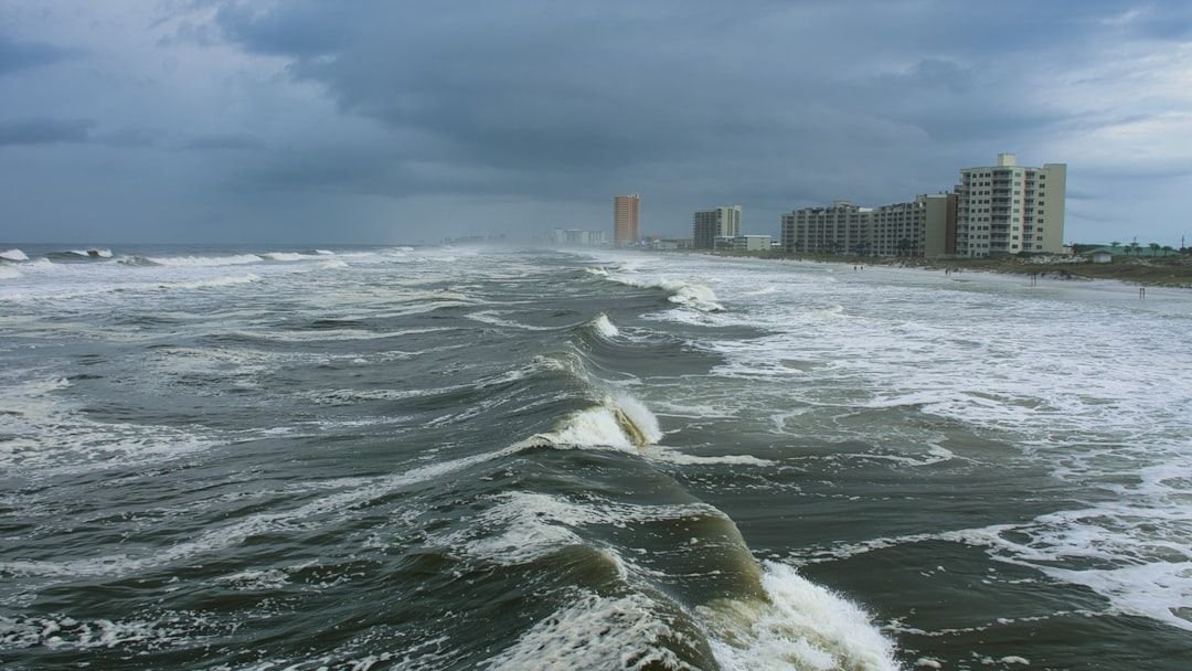
Every spring, a team of researchers at Colorado State University quietly releases numbers that coastal communities from Texas to Maine pay close attention to. CSU’s initial seasonal hurricane forecast for 2026 was released on April 9, and the program traces its roots back to Dr. Bill Gray, who first started seasonal Atlantic hurricane predictions at the university in 1984. More than four decades later, the forecasts carry real weight.
Dr. Gray’s final Ph.D. student, Phil Klotzbach, and the CSU tropical weather and climate research team continue the legacy and regularly issue the forecast to the present day. What the team delivered this spring is a nuanced picture, one that offers some relief for certain coastlines while urging everyone not to let their guard down entirely.
Message 1: Expect a Below-Average Season, but Don’t Take That as a Green Light
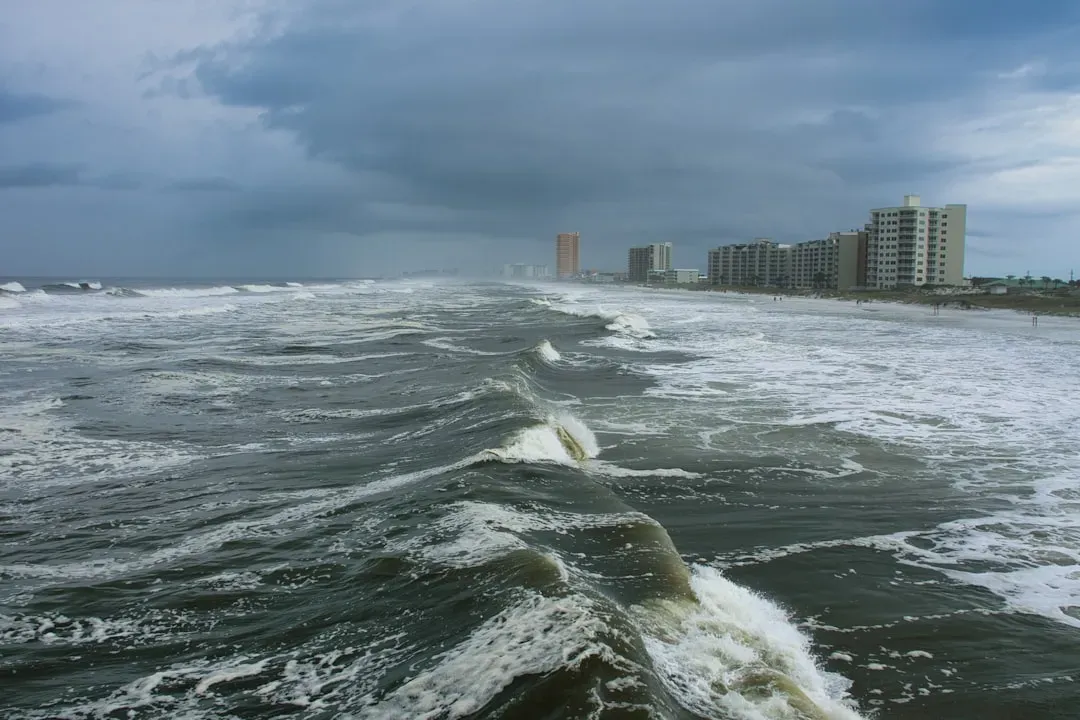
Colorado State University’s forecast predicts a below or near normal season with 13 named storms, six of which will reach hurricane strength, and two major hurricanes. This is below the normal of 14 named storms, seven hurricanes, and three major hurricanes. On paper, those numbers look reassuring. In practice, they don’t tell the full story.
CSU predicts Atlantic basin Accumulated Cyclone Energy (ACE) and Net Tropical Cyclone activity in 2026 to be approximately 75 percent of their long-period average. Coastal residents are reminded that it only takes one hurricane making landfall to make it an active season, and thorough preparations should be made every season, regardless of predicted activity. A quieter forecast has never meant a safe one.
Message 2: El Niño Is the Dominant Force Reshaping This Season
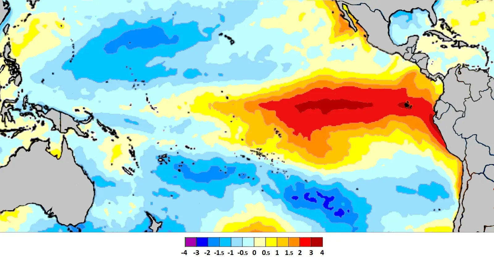
The CSU tropical meteorology team cited the potential for a robust El Niño and associated increases in vertical wind shear as key factors behind its below-normal call. Researchers cite the transition from La Niña to El Niño as the major contributing factor, as El Niño conditions are expected to strengthen and increase vertical wind shear in the Atlantic basin, limiting tropical system development.
El Niño typically reduces the amount of storm activity in the Atlantic basin because it increases the amount of vertical wind shear. Vertical wind shear is strong wind in the upper levels of the atmosphere that typically prevents circulations like tropical systems from becoming fully formed. Dr. Phil Klotzbach noted that NOAA forecasters say there is a 90% chance of an El Niño event during the peak of hurricane season. That’s a substantial probability, and it underpins nearly every aspect of the 2026 outlook.
Message 3: The Atlantic’s Mixed Ocean Temperatures Add Real Uncertainty

Sea surface temperatures in the western tropical Atlantic are warmer than normal but slightly cooler than normal in the eastern and central tropical Atlantic. Given the mixed signals in the Atlantic and the potential for a moderate to strong El Niño, the CSU forecast team is predicting a somewhat below-normal 2026 season. The ocean, in other words, is not sending one clear message.
The authors note that their initial April forecast is historically less accurate compared to those that follow in each season due to the considerable changes that can occur in the atmosphere and ocean between April and the peak of the Atlantic hurricane season from August to October. Phil Klotzbach said the 2026 setup looks similar to the 2006, 2009, 2015, and 2023 seasons, and those analog years ranged widely from well below average to somewhat above average in actual hurricane activity. That’s a wide spread, and it reflects genuine scientific uncertainty.
Message 4: Landfall Probabilities Are Down, but the Gulf Coast Still Has Exposure
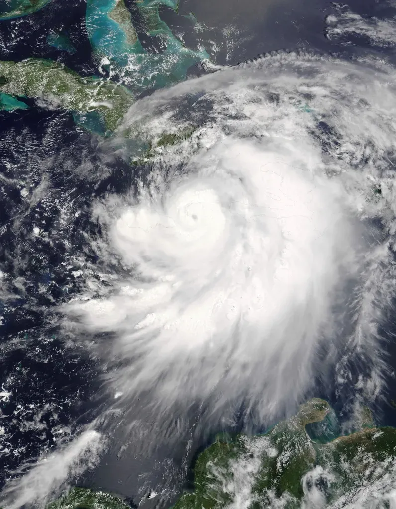
The report includes the following probability of major hurricanes making landfall in 2026: 32% for the entire U.S. coastline (average from 1880 to 2020 is 43%), 15% for the U.S. East Coast including the Florida Peninsula (average is 21%), 20% for the Gulf Coast from the Florida panhandle westward to Brownsville, Texas (average is 27%), and 35% for the Caribbean (average is 47%).
The overall storm count may be down, but the landfall risk numbers tell a more nuanced story for the Gulf Coast. CSU’s forecast puts the probability of a major hurricane making landfall somewhere along the U.S. coastline at 32%, compared to the historical average of 43%. Colorado State predicts a below-average 2026 hurricane season, but AccuWeather’s landfall analysis puts Louisiana’s northern Gulf Coast at the highest risk for direct impacts. Warm Gulf water and rapid intensification are the wild cards.
Message 5: A New AI Tool Is Now Part of the Forecasting Arsenal

For the first time this year, the CSU team is utilizing a machine learning-based climate model called the Ai2 Climate Emulator (ACE2), which is run with predicted sea surface temperatures from the ECMWF climate model. While the statistical model calls for a slightly above-average season, all other model guidance, including the new ACE2 model, points towards somewhat below-average activity. The AI-based tool helped tip the balance toward the calmer outlook.
The team bases its forecasts on a statistical model, as well as three models that use a combination of information and predictions of large-scale conditions from the European Centre for Medium-Range Weather Forecasts, the UK Met Office, and the Centro Euro-Mediterraneo sui Cambiamenti Climatici. These models use 25 to 40 years of historical hurricane seasons and evaluate variables such as Atlantic sea surface temperature, sea level pressure, vertical wind shear, the ENSO phenomenon, and other factors. For the first time, data from small uncrewed aircraft systems will also be integrated into NOAA’s hurricane forecast model during the 2026 hurricane season, and scientists determined that incorporating this data into NOAA’s Hurricane Analysis and Forecast System can improve hurricane intensity forecast accuracy by roughly ten percent.
NOAA Aligns With CSU: Both Point to a Quieter Atlantic
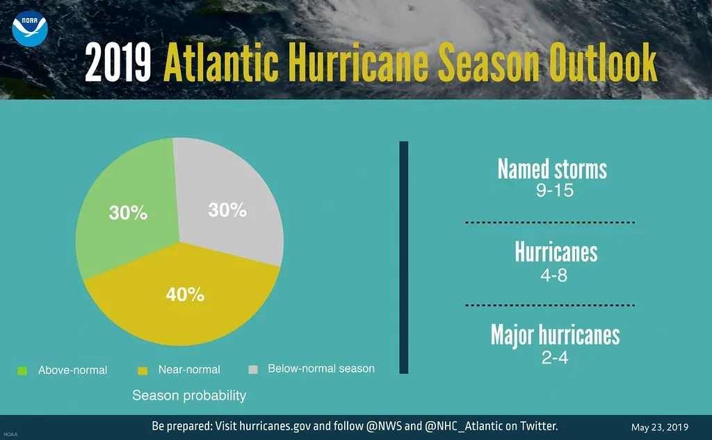
NOAA’s outlook for the 2026 Atlantic hurricane season predicts a 35% chance of a near-normal season, a 10% chance of an above-normal season, and a 55% chance of a below-normal season. Forecasters at NOAA’s National Weather Service predicted a below-normal hurricane season with 8 to 14 named storms, 3 to 6 hurricanes, and 1 to 3 major hurricanes, noting the expected development of an El Niño event which would reduce the number of tropical systems.
The Atlantic season is expected to be below-normal due to competing factors. El Niño is expected to develop and intensify during the hurricane season, while ocean temperatures in the Atlantic are expected to be slightly warmer than normal and trade winds are likely weaker than average. History offers a cautionary reminder: in 1992, the Atlantic hurricane season was well below average, with only six named storms, yet one of those storms, Hurricane Andrew, became one of the most destructive in U.S. history. A lower storm count has never guaranteed a quiet year for everyone in the storm’s path.

- The Shoreline Sucked Dry in Seconds – 5 Tsunami Signals Beachgoers Mistake for Low Tide - November 14, 2026
- 9 Dark-Sky Destinations Around the World Where the Stars Look Unreal - November 14, 2026
- The Fault Line That Never Slips – 7 Locked Seismic Zones Overdue for a Massive Release - November 14, 2026
