


- The Planet Where It Rains Liquid Glass – 7 Alien Worlds Defying Known Physics - November 14, 2026
- Stars Consuming Entire Worlds – 6 Planetary Systems Swallowing Their Own Worlds - November 14, 2026
- The Ground Liquefies Like Water – 6 Silent Fault Lines Geologists Watch Closely - November 14, 2026
1. It acts as the boundary between cold and warm air masses
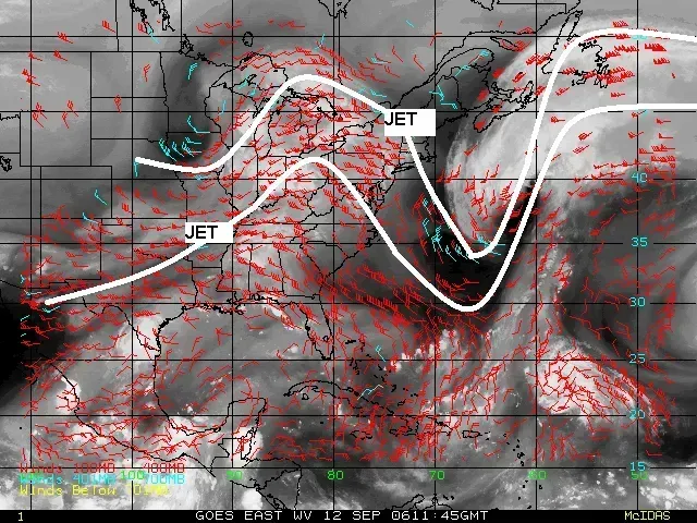
The jet stream forms where cold polar air meets warmer air from the south, and this temperature contrast is exactly what generates its strong winds. Air naturally flows from high pressure to low pressure, and the sharper the temperature difference between two air masses, the faster that flow becomes. This is why the jet stream tends to be strongest during winter and early spring, when the gap between Arctic cold and subtropical warmth is at its widest.
Whichever side of the jet stream you’re on tends to determine your weather for days at a time. Areas north of the jet typically stay locked in cooler, often stormier conditions, while regions south of it enjoy milder, calmer stretches. That’s why a shift of just a hundred miles in the jet’s position can mean the difference between a snowstorm and a rainy afternoon for cities like Chicago or Denver.
2. It steers the path of storms across the continent

Storm systems don’t move randomly. They largely follow the jet stream, riding along its curves like leaves floating in a current. When the jet stream dips south in a pattern called a trough, storms tend to follow that dip, often bringing precipitation and cooler air further into the southern states than usual.
This steering effect explains why some winters seem to send storm after storm through the same corridor, hitting places like the Ohio Valley or the Northeast repeatedly, while other regions stay largely storm-free. Forecasters watch jet stream position closely because it often reveals a storm’s future track days before the storm itself has even fully formed.
3. Its wavy pattern creates heat waves and cold snaps

When the jet stream flows in a fairly straight, flat line west to east, weather tends to stay relatively stable and predictable. But when it develops large north-south waves, known as troughs and ridges, weather extremes become far more likely. A deep ridge allows warm air to build and linger, which is a common ingredient in prolonged heat waves across places like the Pacific Northwest or the central Plains.
On the flip side, a deep trough can pull frigid Arctic air far south, sometimes reaching all the way into Texas or the Gulf Coast. The February 2021 Texas freeze, which knocked out power for millions, was tied directly to a dramatic southward plunge in the jet stream. These wavy patterns can also become “stuck,” locking a region into the same extreme weather for a week or more instead of the usual few days.
4. It influences the intensity and frequency of severe storms
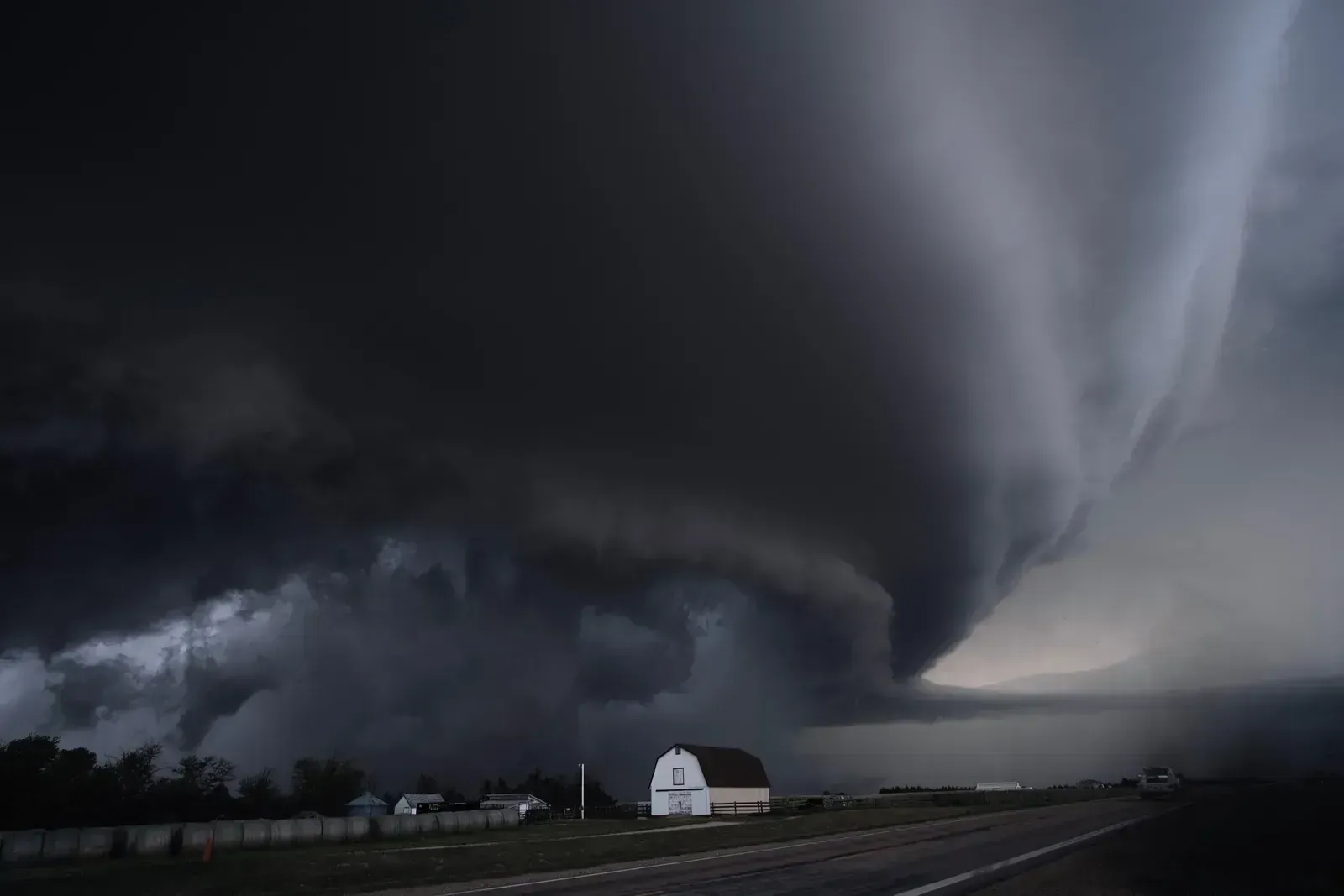
Severe thunderstorms and tornadoes need more than just warm, moist air near the ground. They also require strong winds at different heights blowing in different directions, a condition called wind shear, and the jet stream is one of the primary sources of that shear. When a fast-moving jet stream overlaps with warm, humid air at the surface, especially across Tornado Alley and the Southeast, the atmosphere becomes primed for rotating supercell thunderstorms.
This is part of why spring is peak tornado season in much of the central United States. The jet stream is still fairly strong and active from winter, but it’s now interacting with increasingly warm, moist air pushing up from the Gulf of Mexico. When that overlap weakens later in summer as the jet stream retreats northward, severe weather activity in the Plains typically drops off noticeably.
5. It determines regional snowfall and drought patterns
Where the jet stream sets up during winter has an outsized effect on which areas get buried in snow and which stay unusually dry. A jet stream positioned further north often diverts storm systems away from the southern and central states, contributing to drought conditions, while a jet stream dipping further south can direct moisture-laden storms into areas that don’t usually see heavy snow. California’s snowpack, a critical water source for the state, varies significantly year to year partly because of exactly where the jet stream channels Pacific storms.
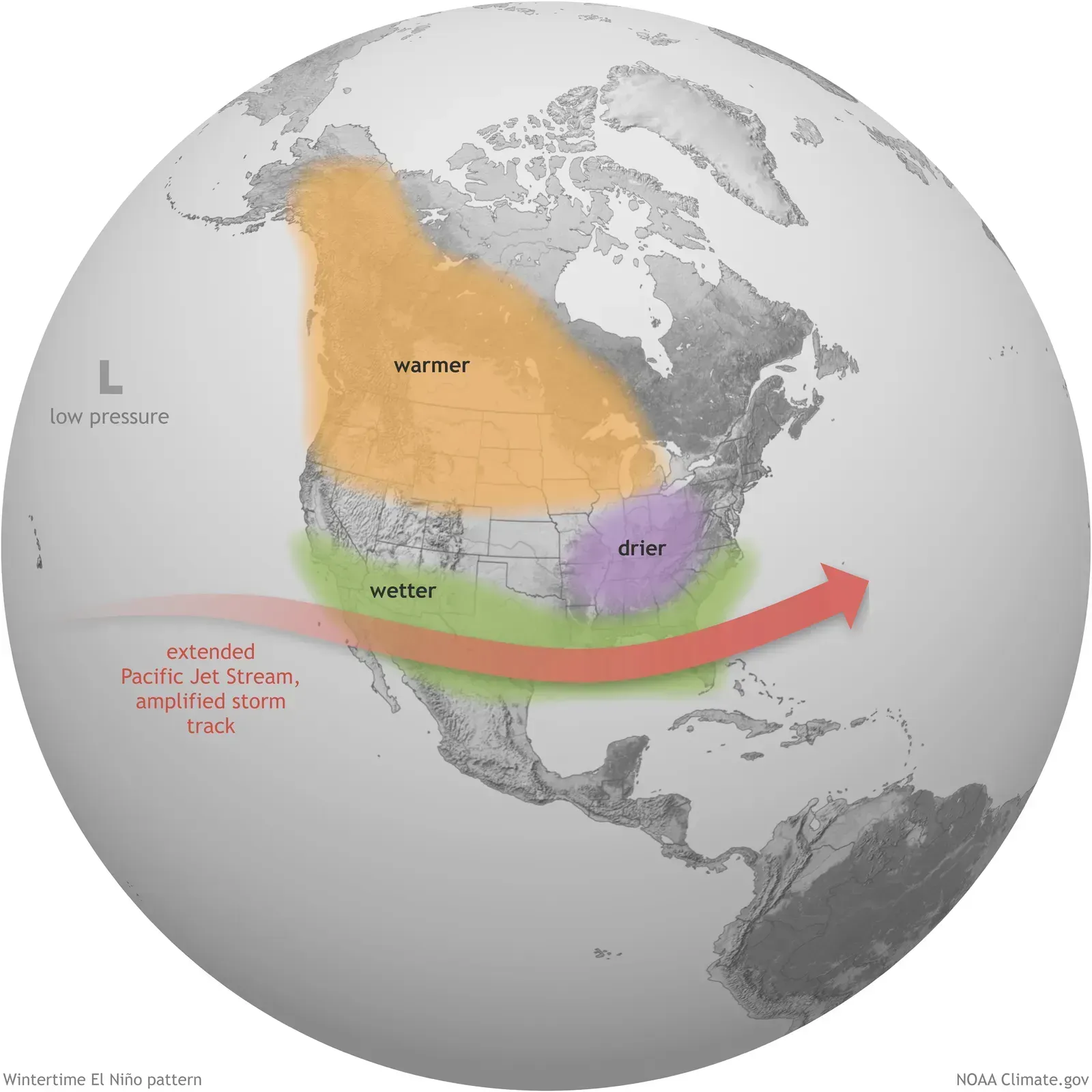
This same mechanism plays into broader seasonal patterns tied to El Niño and La Niña. During El Niño years, the jet stream tends to shift southward across the U.S., often bringing wetter conditions to the South while the North stays drier. La Niña typically produces the opposite effect, pushing the jet further north and leaving southern states more prone to drought.
6. It shapes airline flight times and turbulence
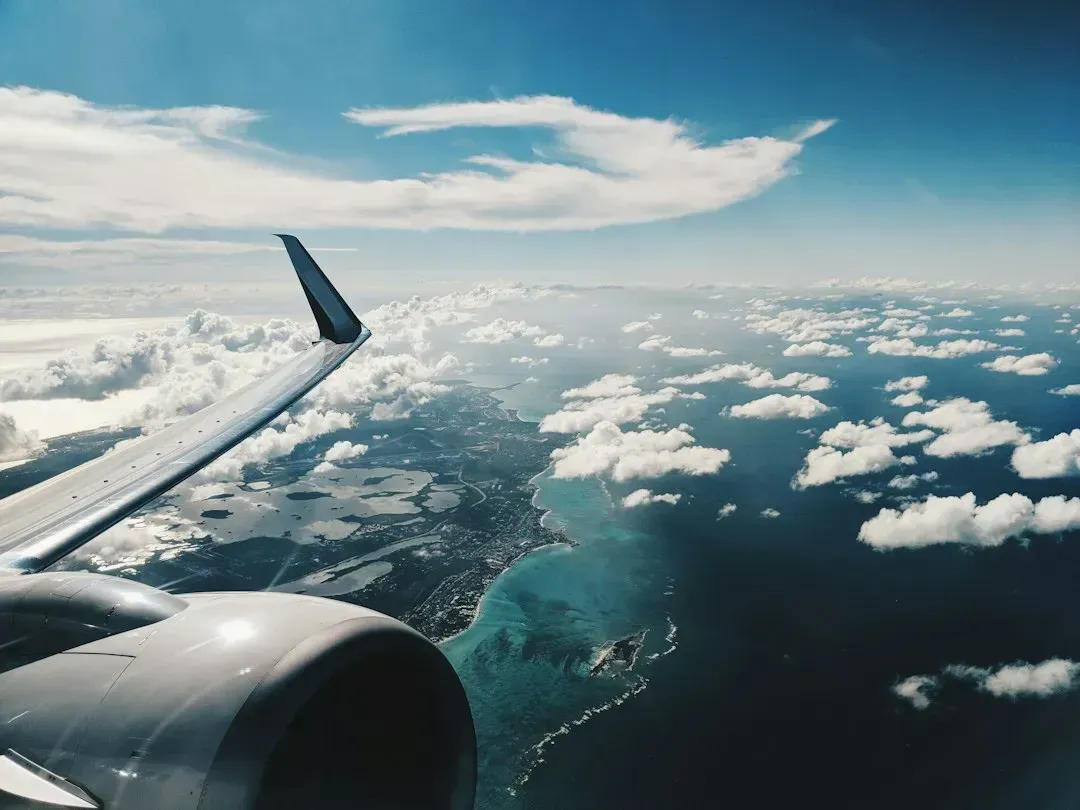
Beyond ground-level weather, the jet stream has a very practical effect on air travel. Commercial flights heading eastward, from Los Angeles to New York for instance, often take advantage of jet stream winds that can exceed 150 miles per hour, cutting flight times sometimes by twenty minutes or more. Flying westward against that same wind means pilots often plot routes that avoid the core of the jet stream entirely to save fuel and time.
The jet stream is also a major source of clear air turbulence, the bumpy, hard-to-predict rattling that can occur even in cloudless skies. This happens because of the sharp wind speed changes found near the jet’s edges. Some recent atmospheric research has suggested that a warming climate could be intensifying this kind of turbulence on major transatlantic routes, an area scientists continue to study closely.
7. Its strength and position are shifting as the climate changes
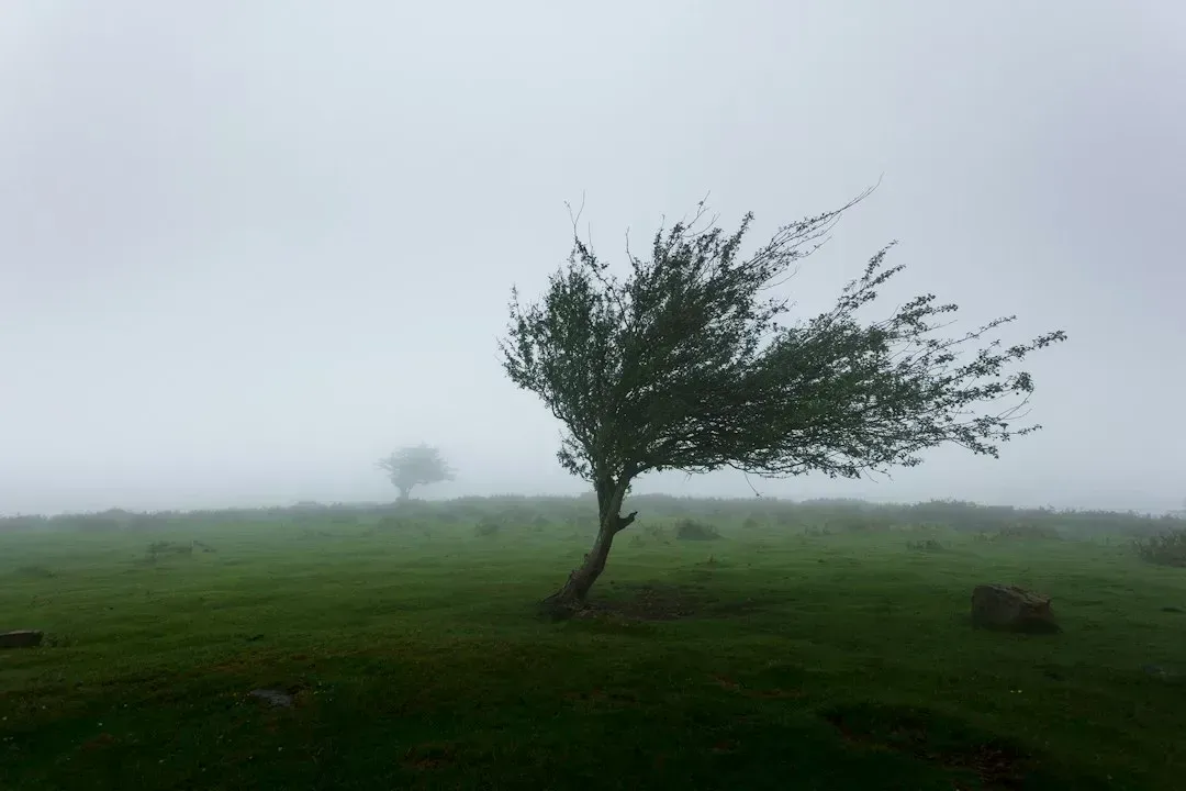
Climate scientists have spent years studying whether a warming Arctic, which is heating up considerably faster than the rest of the planet, is altering how the jet stream behaves. Because the jet stream’s strength depends on the temperature contrast between the Arctic and the mid-latitudes, a faster-warming Arctic theoretically reduces that contrast and could weaken the jet stream overall. A weaker, wavier jet stream is one hypothesis researchers point to when explaining why certain weather patterns, like prolonged heat domes or extended cold outbreaks, seem to be sticking around longer than they used to.
It’s worth noting that this remains an active and somewhat debated area of climate science, with some studies showing clearer evidence of these shifts than others. What most researchers do agree on is that the jet stream isn’t behaving in a static, unchanging way, and its future path will likely keep influencing extreme weather events across the country in ways scientists are still working to fully understand. Monitoring its position has become an increasingly important part of both daily forecasting and long-term climate research.
The jet stream doesn’t announce itself the way a hurricane or blizzard does, yet its fingerprints are all over the weather patterns that shape daily life in the United States. From the storms that soak the Midwest to the heat that settles over the Southwest for weeks at a time, this high-altitude river of air is often the quiet force behind it all.