

- The Planet Where It Rains Liquid Glass – 7 Alien Worlds Defying Known Physics - November 14, 2026
- Stars Consuming Entire Worlds – 6 Planetary Systems Swallowing Their Own Worlds - November 14, 2026
- The Ground Liquefies Like Water – 6 Silent Fault Lines Geologists Watch Closely - November 14, 2026
Solid ground feels like the most dependable thing we know. During certain earthquakes, though, loose and waterlogged soil can lose its strength and behave like a thick liquid for a short time.
Geologists call this liquefaction. It needs very little to start: sandy sediment, groundwater close to the surface, and shaking that lasts long enough. Several fault systems around the world have a record of producing it, and some are quiet today.
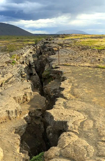
Cascadia Subduction Zone, Pacific Northwest
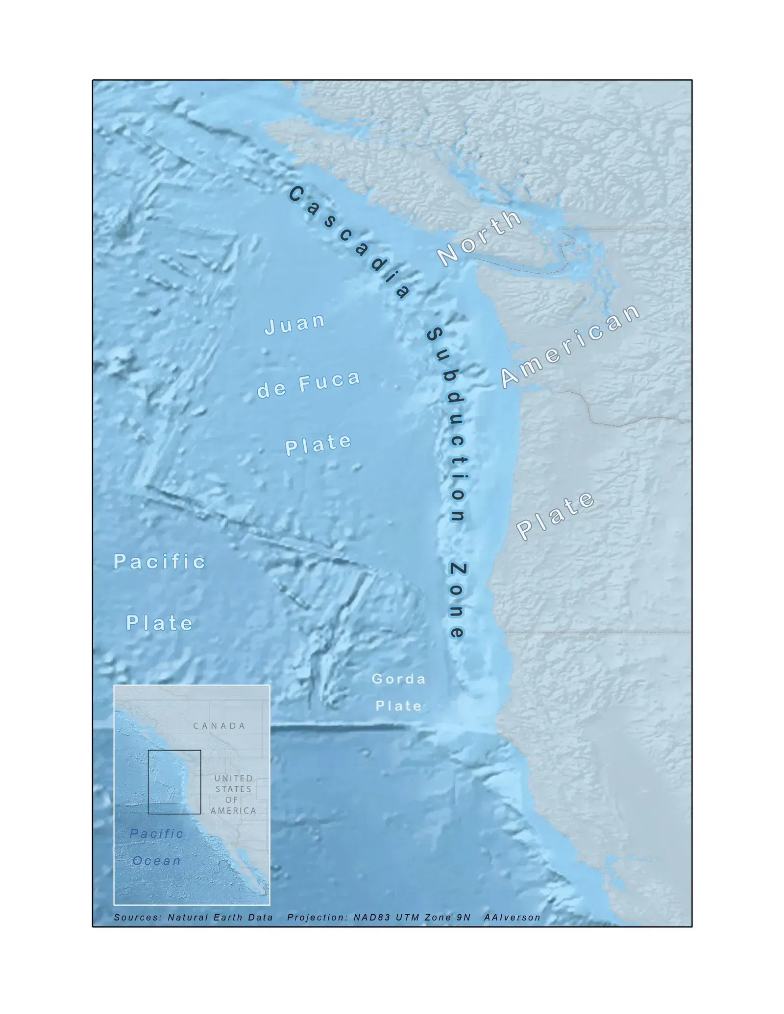
The Cascadia fault runs offshore from northern California to British Columbia. Its last great rupture came in January 1700, and scientists estimate it was around magnitude 9. Japanese tsunami records helped pin down the date.
Cities like Seattle and Portland sit partly on river deposits and filled land. Industrial areas along the Duwamish River in Seattle are mapped as highly susceptible to liquefaction. A long, slow shaking from a megathrust quake would give those soils plenty of time to weaken.
The San Andreas System, California
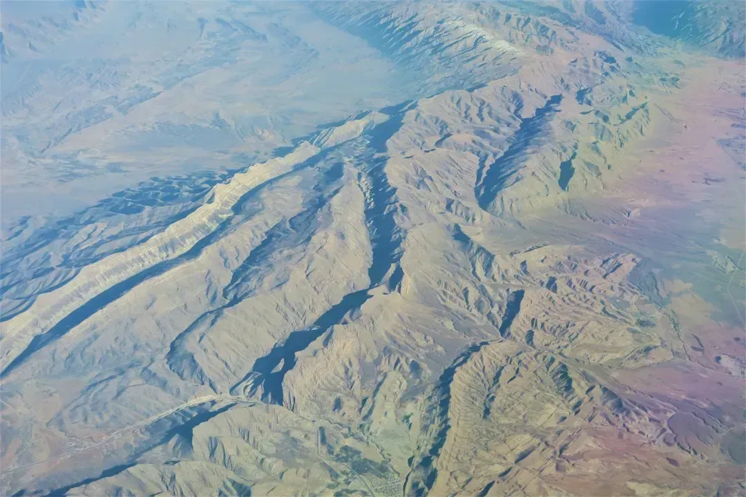
California’s best known fault has a history of turning soft ground to mush. In the 1989 Loma Prieta earthquake, a magnitude 6.9 event, the Marina District of San Francisco suffered heavy damage. Much of that neighborhood was built on loose fill placed after the 1906 quake.
The lesson stuck with engineers and planners. Parts of the Bay Area and the Los Angeles basin now carry official liquefaction hazard zones. Builders in those zones must investigate the soil before they get permits.
New Madrid Seismic Zone, Central United States
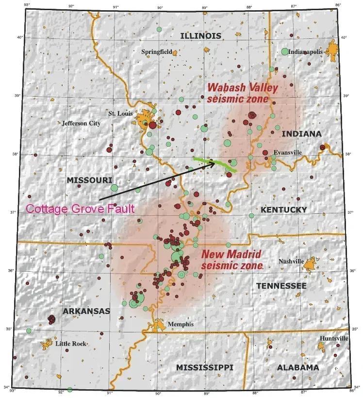
Far from any plate boundary, the New Madrid zone sits beneath parts of Missouri, Arkansas, Tennessee, and Kentucky. A series of powerful earthquakes struck it in 1811 and 1812. Eyewitness accounts described sand and water erupting from the ground, and the landscape still holds the evidence.
Fields in the Mississippi Valley contain old sand blows, which are scars left by those eruptions. Researchers have also found signs of earlier prehistoric sequences in the same region. Memphis and other river cities sit on deep, saturated sediments, which is why the zone gets so much attention.
The Canterbury Faults, New Zealand
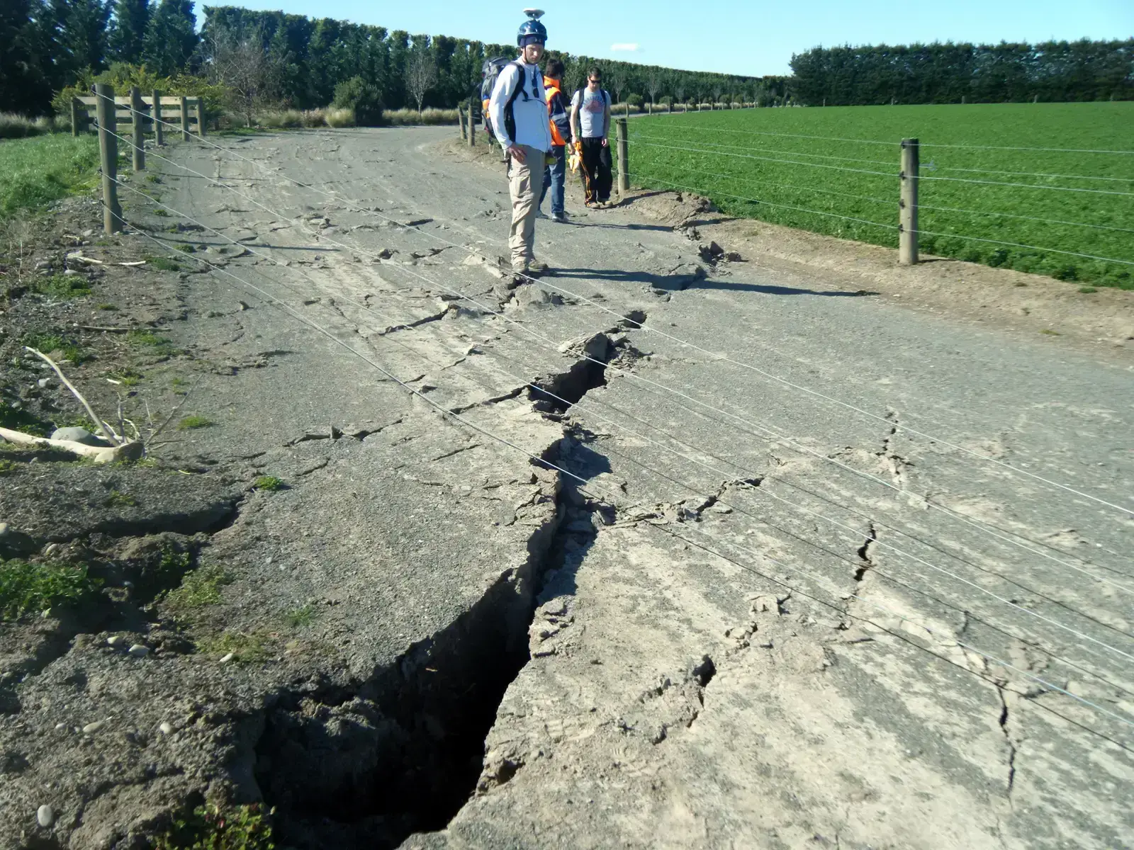
In September 2010, a fault that most people didn’t know existed ruptured near Christchurch. The quake that followed on February 22, 2011, measured magnitude 6.3 and killed 185 people. Liquefaction covered streets and yards with silt and damaged tens of thousands of homes.
The city sits on river deposits and a high water table, a combination that made the damage worse. The event changed how New Zealand treats land risk. Whole suburbs were later zoned as residential red zones because the ground was too unreliable to rebuild on.
The Palu-Koro Fault, Sulawesi, Indonesia
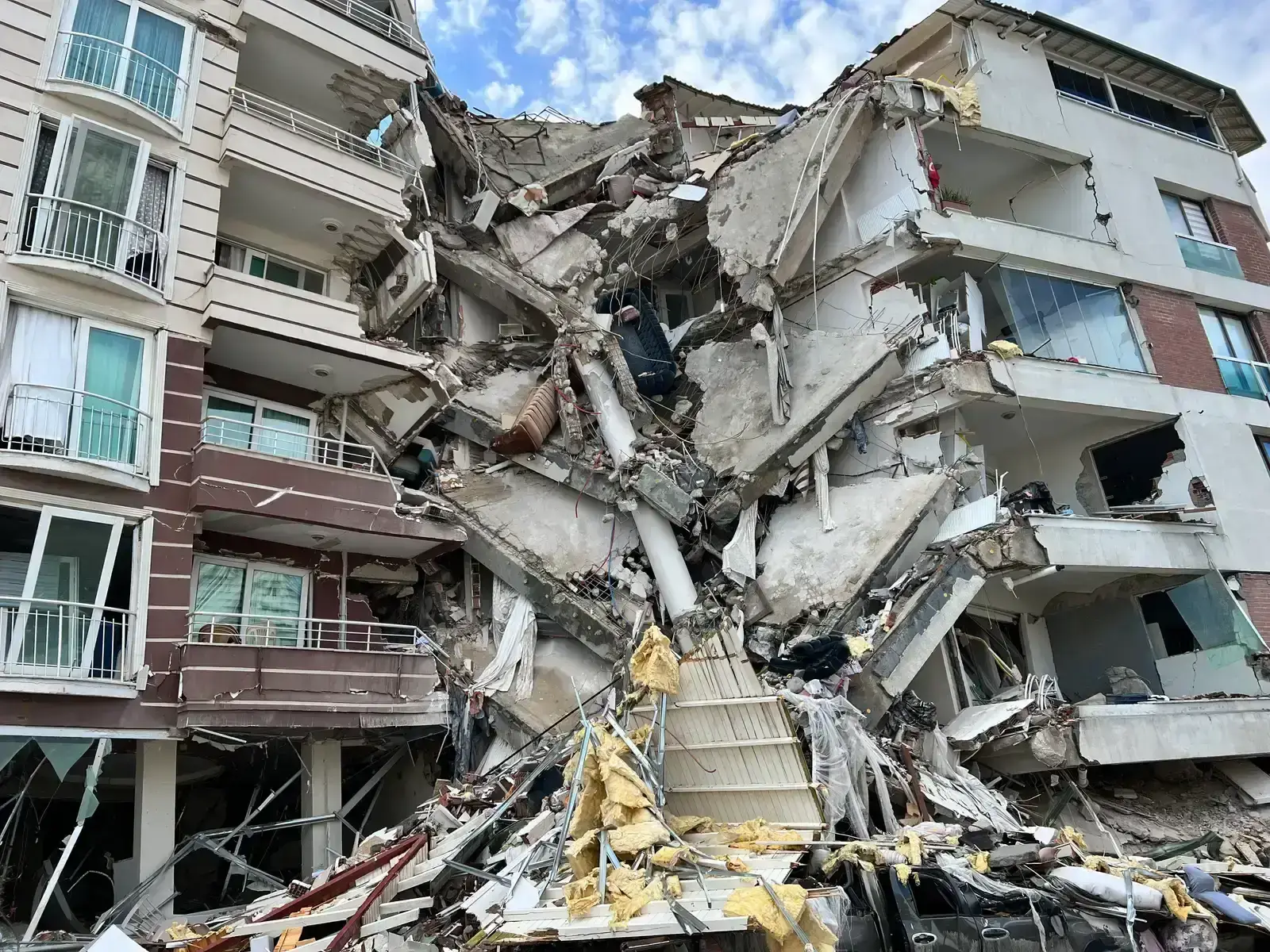
On September 28, 2018, a magnitude 7.5 earthquake struck along this strike slip fault. A tsunami followed, but the quake also triggered something rarer. Liquefaction caused ground to flow across gentle slopes and swallow neighborhoods such as Petobo and Balaroa.
More than four thousand people were reported dead or missing. Researchers have studied the event closely because the flows moved far more widely than standard models would predict. It remains one of the most extreme documented cases of liquefaction on land.
Japan’s Coastal Faults, From Niigata to Noto
Japan helped define the science. The 1964 Niigata earthquake, a magnitude 7.6 event, tipped whole apartment buildings onto their sides with the structures largely intact. Engineers worldwide took notice and began studying liquefaction in earnest.
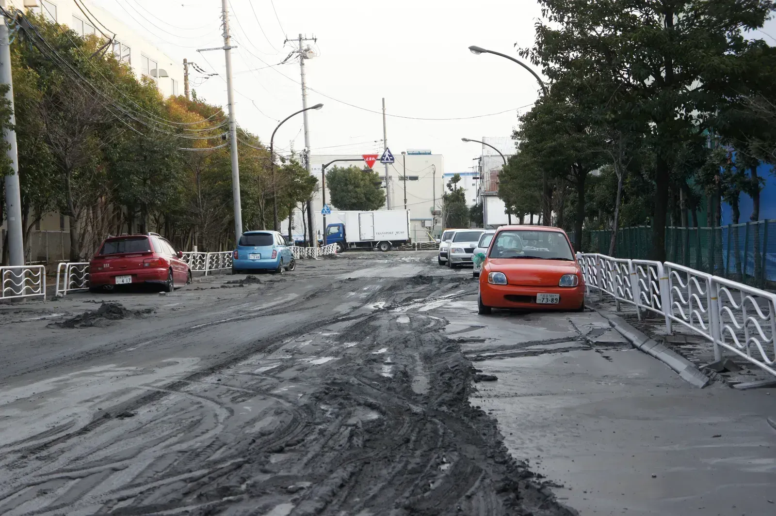
The problem hasn’t gone away. In 2011, reclaimed land around Tokyo Bay, including Urayasu, liquefied during the Tohoku earthquake. The Noto Peninsula quake of January 1, 2024, a magnitude 7.5 event, again caused liquefaction damage in parts of Ishikawa and Niigata prefectures.
How Liquefaction Risk Is Mapped
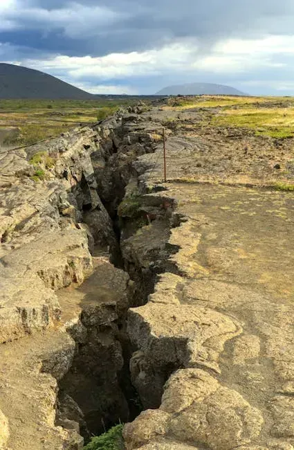
The conditions that matter are fairly consistent: loose sandy soil, saturated ground, and strong shaking that goes on for many seconds. Agencies like the US Geological Survey and state geological surveys combine soil data and groundwater depth with expected shaking to produce hazard maps.
Where the risk is high, engineers can compact the soil, drain it, or anchor buildings to deeper layers. Those fixes work best when they’re built in before an earthquake rather than after one.
