
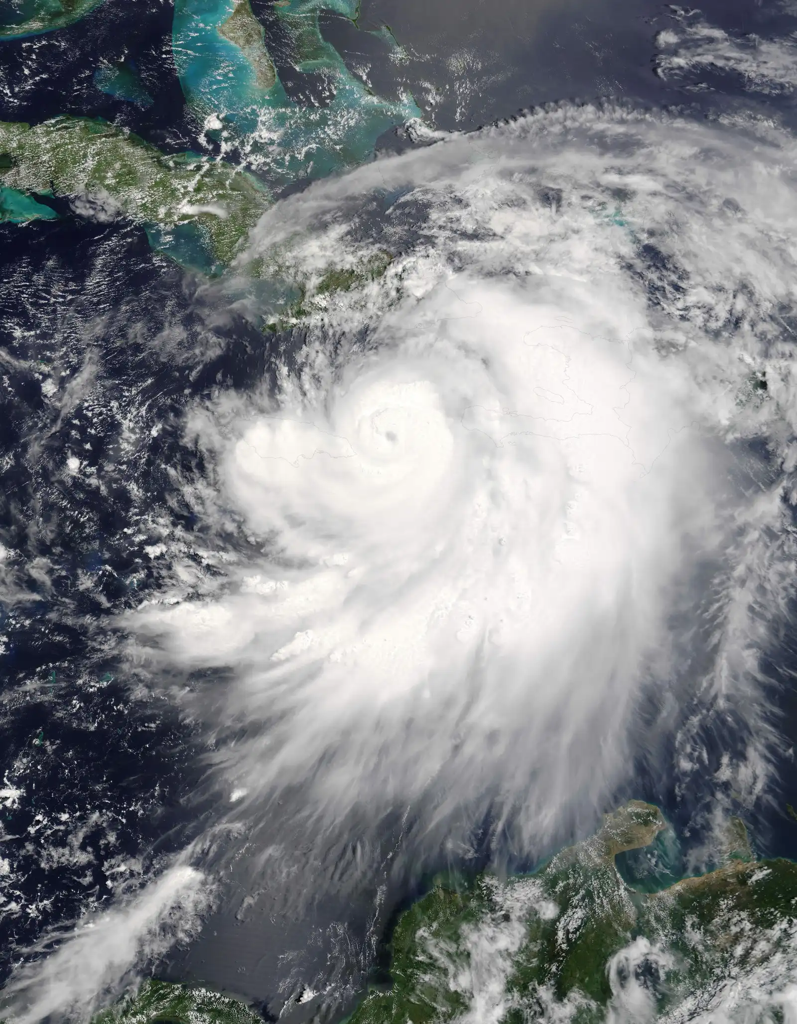
The 2026 eastern Pacific hurricane season has shattered records with an unprecedented run of major hurricanes. Vance strengthened into the eleventh such storm, bringing the total to a level not seen since 2015 and tying the basin’s all-time mark. Forecasters expect the system to weaken gradually while its outer bands push heavy rain and rough seas toward Mexico’s southwestern coast.
Activity has remained elevated thanks to warmer than average ocean waters and lingering El Niño influences. Vance formed late in the season yet still reached major status, underscoring how the basin continues to produce intense systems well into October. No coastal watches or warnings are in effect yet, but residents from Guerrero to Jalisco are advised to monitor updates closely.
Genevieve
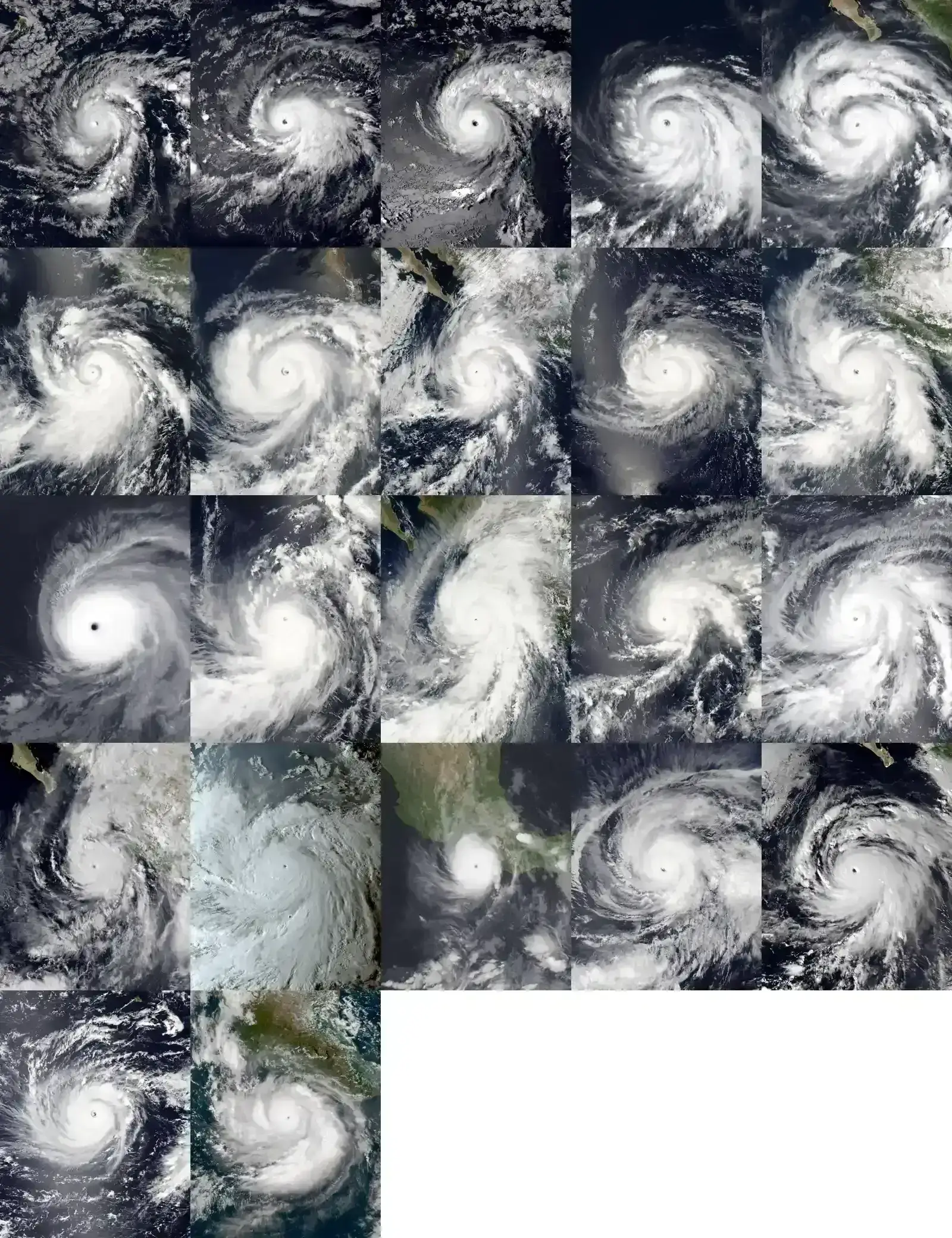
Genevieve formed in late July and rapidly intensified into the season’s first major hurricane. It reached Category 5 strength with peak winds of 160 mph before weakening over cooler waters. The storm remained well offshore and produced no direct land impacts.
Its long track highlighted the favorable environment that persisted through much of the summer. Genevieve set an early tone for what would become an exceptionally active period. Forecasters noted its quick organization as a sign of the season’s potential.
Karina
Karina developed in late August and achieved major hurricane status with sustained winds near 145 mph. It tracked northwestward and stayed clear of land throughout its life. The system contributed significantly to the season’s rising accumulated cyclone energy totals.
Its peak intensity occurred over very warm sea surface temperatures south of the Baja California peninsula. Karina’s structure remained impressive for several days before shear began to take a toll. No fatalities or damage were reported from this storm.
Lowell
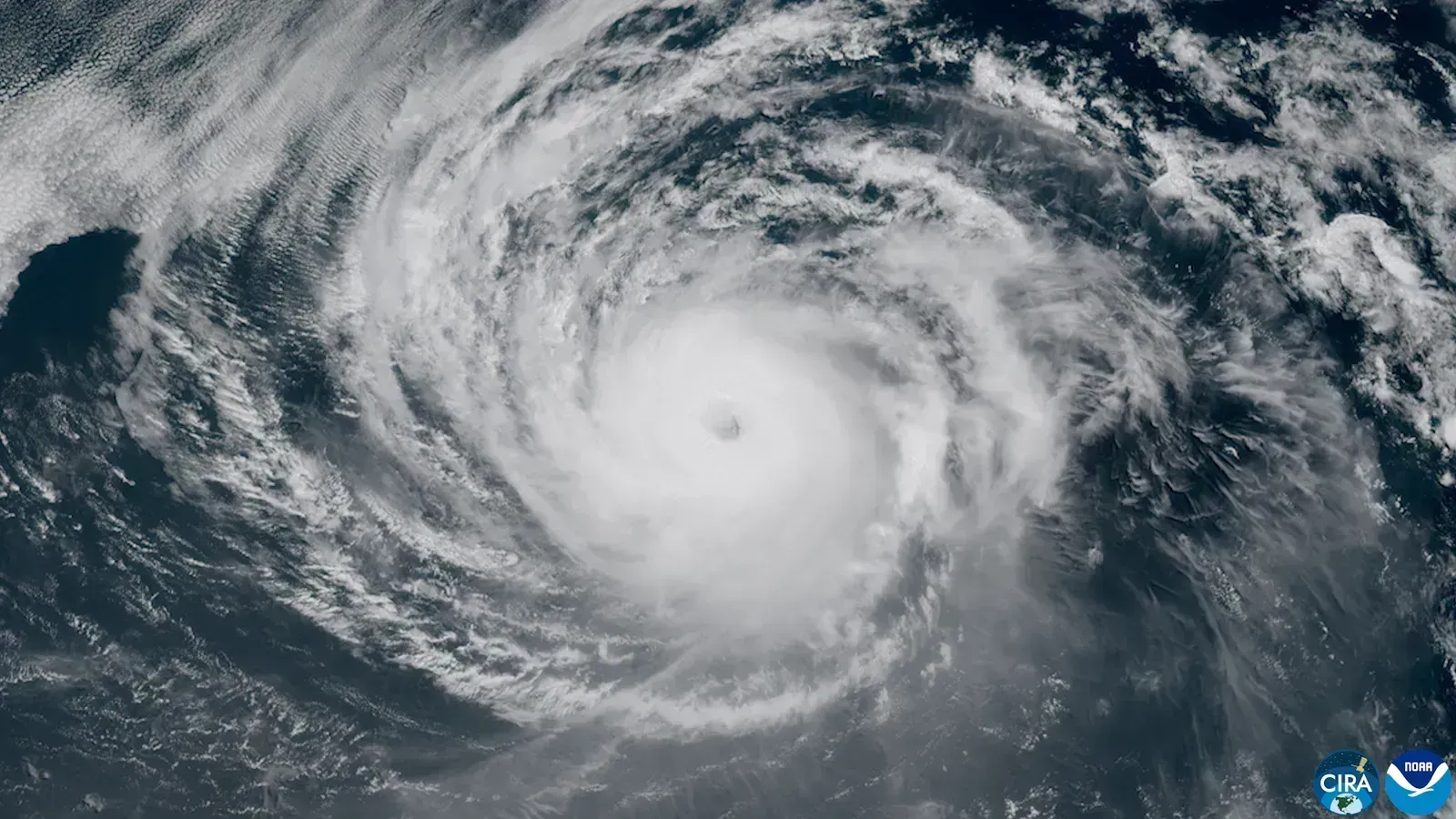
Lowell followed closely behind Karina and also reached Category 5 intensity. Peak winds hit 160 mph with a minimum pressure of 922 mb during its strongest phase. The hurricane remained far from any coastline.
Its rapid deepening phase drew attention from meteorologists monitoring the basin. Lowell helped push the season’s major hurricane count higher at a time when activity usually begins to taper. The storm eventually weakened and dissipated without incident.
Nolo
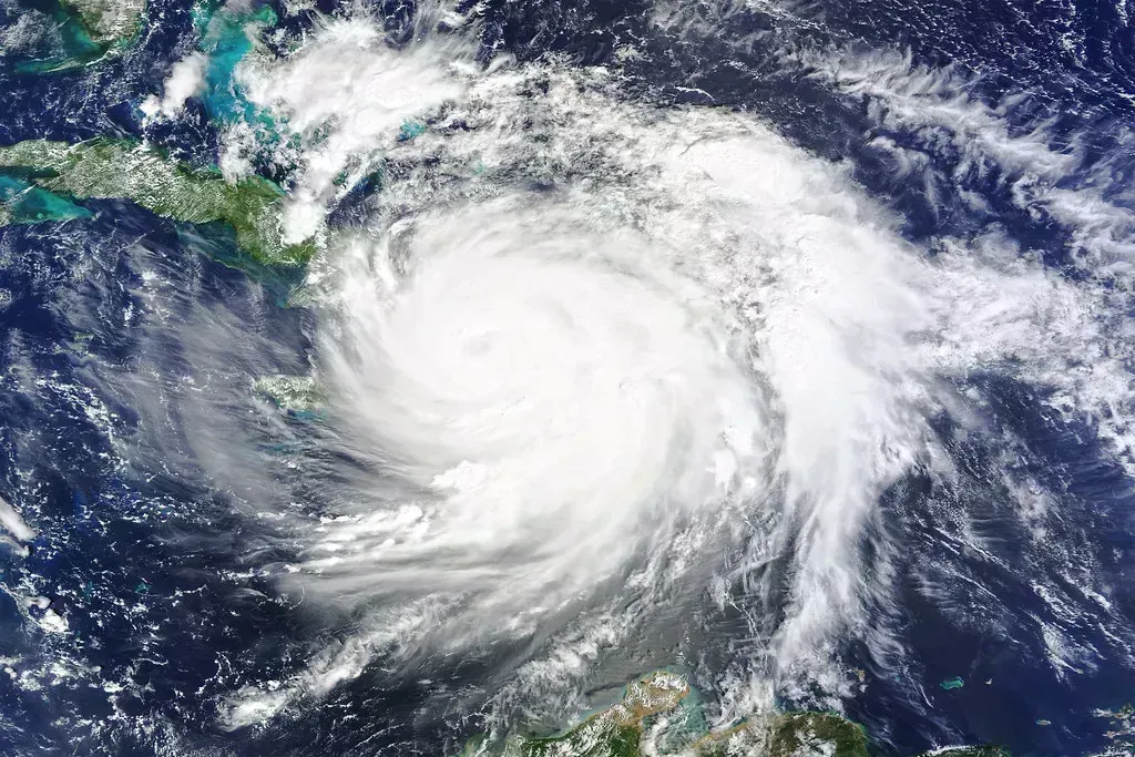
Nolo became a major hurricane in mid-September and maintained that status for an extended period. It reached Category 4 strength with winds up to 155 mph. The system meandered in the open eastern Pacific for days.
Its longevity added to the season’s record accumulated cyclone energy. Nolo stayed well offshore and generated only distant swells along the Mexican coast. Forecasters tracked it as part of the steady parade of strong storms.
Odalys
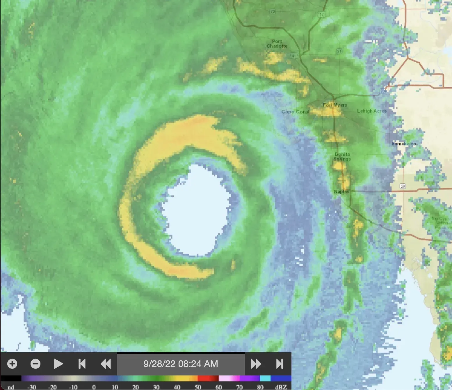
Odalys intensified quickly in late September and peaked as a Category 4 hurricane. Maximum winds reached 130 mph before the system began to weaken. It followed a northwest track typical for the basin.
The storm remained distant from populated areas throughout its existence. Odalys contributed to the unusual streak of consecutive major hurricanes. Its development further illustrated the season’s above-average conditions.
Polo
Polo stands out as one of the season’s most powerful systems, attaining Category 5 status with 180 mph winds. It set records for rapid intensification from depression to major hurricane. The storm stayed far offshore during its peak.
Polo’s extreme strength helped drive the season’s accumulated cyclone energy to historic levels. Its track kept impacts minimal for land areas. Meteorologists highlighted the storm as a benchmark for the year’s activity.
Rachel
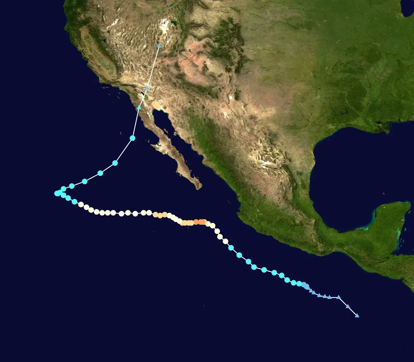
Rachel reached major hurricane strength in early October with peak winds around 120 mph. It moved generally northwest and remained over open water. The system added to the growing list of intense late-season storms.
Its formation continued the pattern of back-to-back major hurricanes. Rachel produced swells that affected parts of the Mexican coast but caused no direct landfalls. Forecasters noted steady organization despite increasing shear later in its life.
Simon
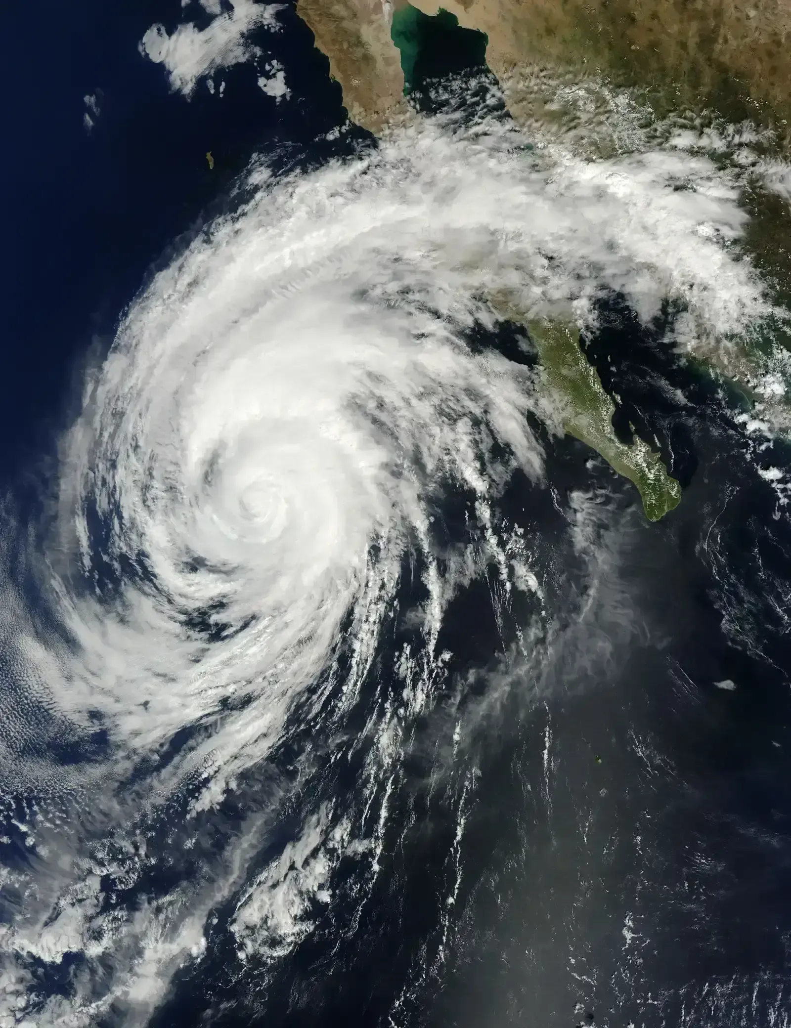
Simon developed in early October and quickly became a Category 4 hurricane with winds near 155 mph. It tracked parallel to the Mexican coast at a safe distance. The storm reinforced the season’s record pace.
Simon maintained major status for several days before gradual weakening set in. Its presence kept the consecutive major hurricane streak alive. No significant coastal impacts occurred from this system.
Trudy
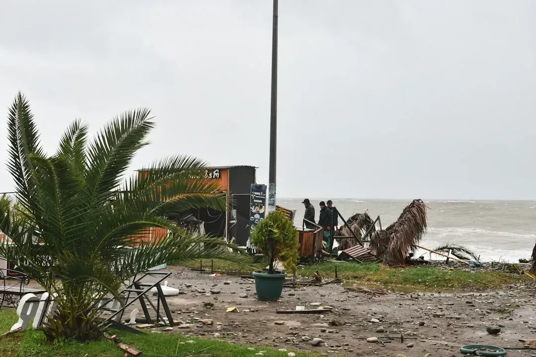
Trudy intensified into a major hurricane in mid-October with peak winds of 120 mph. It followed a path that brought it closer to Mexico than many predecessors. The storm eventually weakened before any direct landfall.
Trudy’s approach prompted increased monitoring along the southwestern coast. It marked the ninth major hurricane of the season at the time. Outer bands delivered heavy rainfall to parts of Guerrero and Michoacán.
Vance
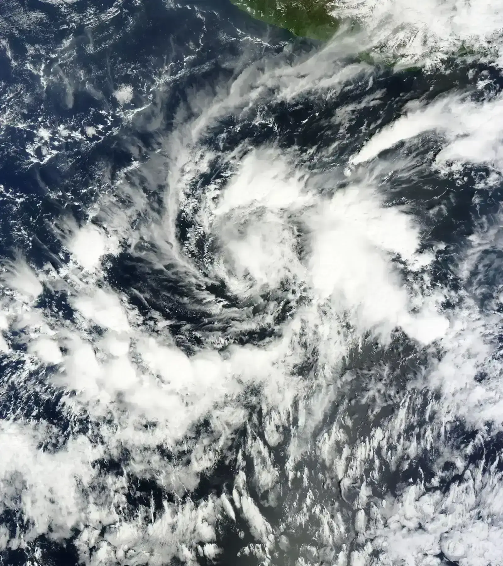
Vance became the eleventh major hurricane after rapid strengthening on October 23. It reached Category 3 status briefly before settling at Category 2 intensity with winds near 110 mph. The center remained several hundred miles south-southwest of Acapulco.
Forecasts show a gradual turn northward with continued weakening expected over the coming days. Swells and heavy rain are likely to affect western Mexico through the week. Vance’s arrival caps an extraordinary run of major storms in the basin.
Additional Context on the Season
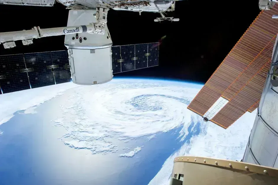
The 2026 eastern Pacific season has produced eleven major hurricanes, matching the record set in 2015. Accumulated cyclone energy has also reached unprecedented levels for the basin. Warm ocean temperatures and atmospheric patterns have favored repeated development.
Most systems have stayed offshore, limiting widespread damage so far. Still, repeated swells and rainfall have stressed coastal communities. The season officially runs through November 30, leaving time for further activity.
Residents along Mexico’s Pacific coast should continue following official updates from the National Hurricane Center. Preparedness remains important even as Vance weakens. The record-setting year serves as a reminder of the basin’s capacity for intense storms.

- The Shoreline Sucked Dry in Seconds – 5 Tsunami Signals Beachgoers Mistake for Low Tide - November 14, 2026
- 9 Dark-Sky Destinations Around the World Where the Stars Look Unreal - November 14, 2026
- The Fault Line That Never Slips – 7 Locked Seismic Zones Overdue for a Massive Release - November 14, 2026
