


- Real Estate Analysts Just Changed Their Mind About the Safest Places to Buy – Here’s Why - November 12, 2026
- Black Holes Firing Beams at Near-Light Speed – 5 Cosmic Engines Warping Spacetime - November 12, 2026
- Silent Rogue Worlds Drifting in Total Dark – 6 Planets Ejected From Their Star Systems - November 12, 2026
Hurricane season has about four weeks left, and the Atlantic has produced another area to watch. The National Hurricane Center is monitoring a broad area of low pressure in the western Atlantic. It gives the system medium odds of developing over the next seven days. The next name on the Atlantic list is Kyle.
The setup is modest, and it doesn’t look like a threat to the U.S. coast. Still, a late-season system near Bermuda is worth understanding. Here is what forecasters are saying and why the odds are what they are.
Where the system is and how it’s forming

The area sits a few hundred miles northeast of the Bahamas. A broad low could form from an old frontal boundary and develop this week. Fox Weather’s Bryan Norcross described it a little differently. He said the low is forming from the tail of an old front that has been stalled east of the Bahamas for days.
This kind of origin is common in autumn. Fronts that stall over warm water can spin up lows that pick up some tropical traits. That’s why forecasters talk about “subtropical” development here, not a classic tropical storm born from an African wave.
What the National Hurricane Center odds say
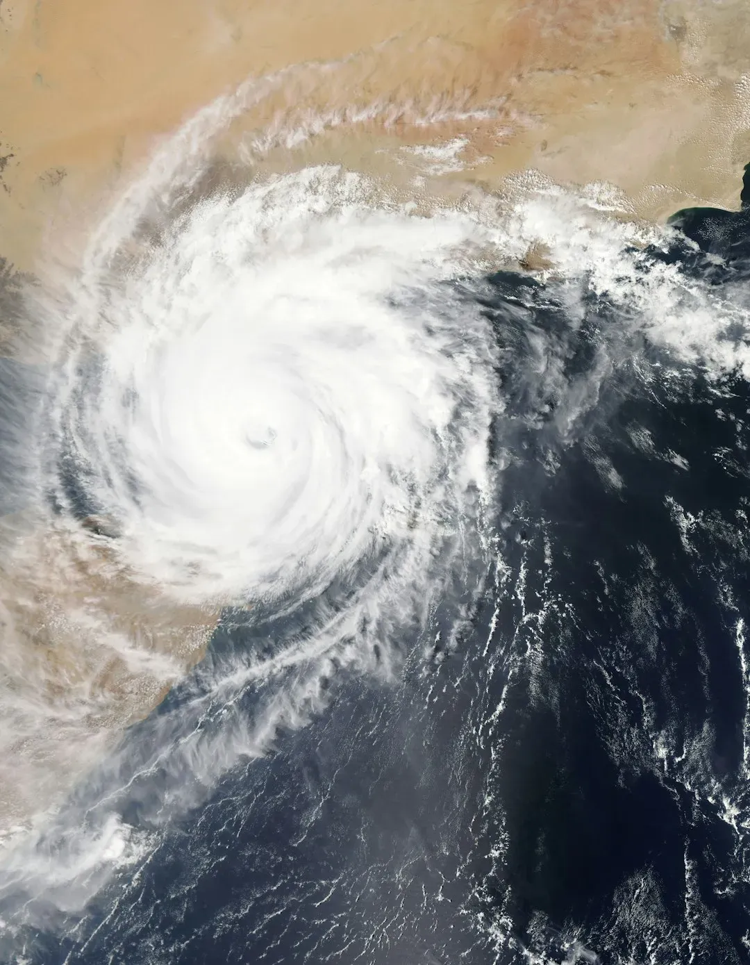
The numbers have shifted a little over the past few days. An earlier report put the chance of subtropical development at 20%. The latest WPTV summary says the NHC gives the disturbance a 20% chance of development over 48 hours and a 40% chance over seven days.
A 40% chance falls in the NHC’s medium category. It means development is possible but not the most likely outcome. The Weather Channel noted the area had a slightly higher chance of development on Tuesday.
Why a subtropical storm is the more likely outcome
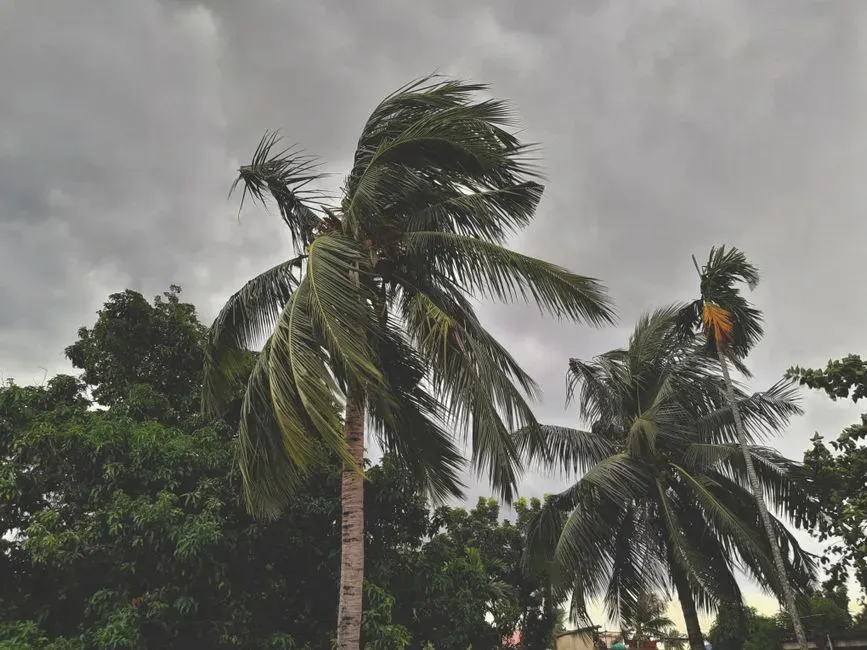
A subtropical storm blends tropical and non-tropical features. Norcross wrote that the system is energized by both the jet stream and the warm Atlantic waters, so it is increasingly likely to be named Subtropical Storm Kyle. He expects that it could organize into a storm with winds over 40 mph as it moves east into the open ocean.
Not every forecaster is equally bullish. WPTV’s read is that the disturbance should stay relatively weak, with a low probability of becoming subtropical. The disagreement is mostly about emphasis, and it reflects a marginal setup.
The wind shear problem
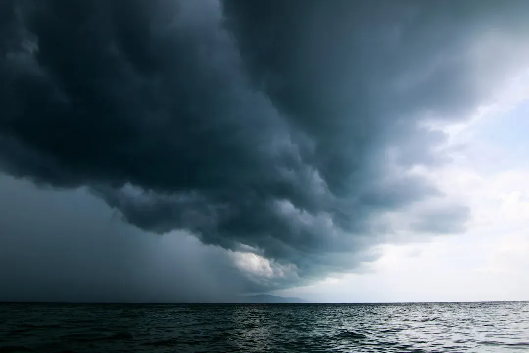
Shear is the main brake on this system. WPTV reports that development is expected to be slow and conditions aren’t particularly favorable for significant organization. A Weather Channel meteorologist put it more bluntly, calling the shear in the area relentless.
Shear tilts and tears apart storm circulations before they can stack up vertically. Forecasters also expect conditions to worsen. By early next week the system should meet increasingly unfavorable conditions that limit further development.
What it could mean for Bermuda
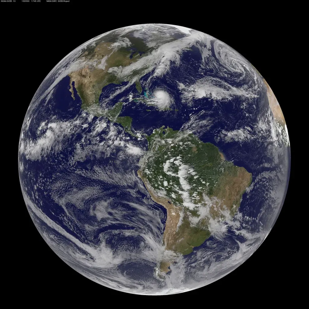
Bermuda is the place most likely to notice it. The Weather Channel says the system could affect Bermuda later this week as it drifts north or northeast. The exact impacts depend on whether the low organizes and how close it passes.
Residents should follow local Bermuda Weather Service and NHC updates instead of relying on a single model run. Even a weak system can bring gusty winds, rough surf and heavy showers. At this stage, the evidence doesn’t support a forecast of anything more specific.
Any threat to the U.S. East Coast?

Current guidance says no. The Weather Channel says there are no threats to the East Coast right now. WPTV also describes the system as moving away from the U.S.
The old front that spawned the low did bring rain to Florida earlier. Forecasters are watching the western Atlantic, but the expected motion is out to sea. As always, forecasts can change, so check the latest outlook if you live along the coast.
Hurricane season isn’t over yet
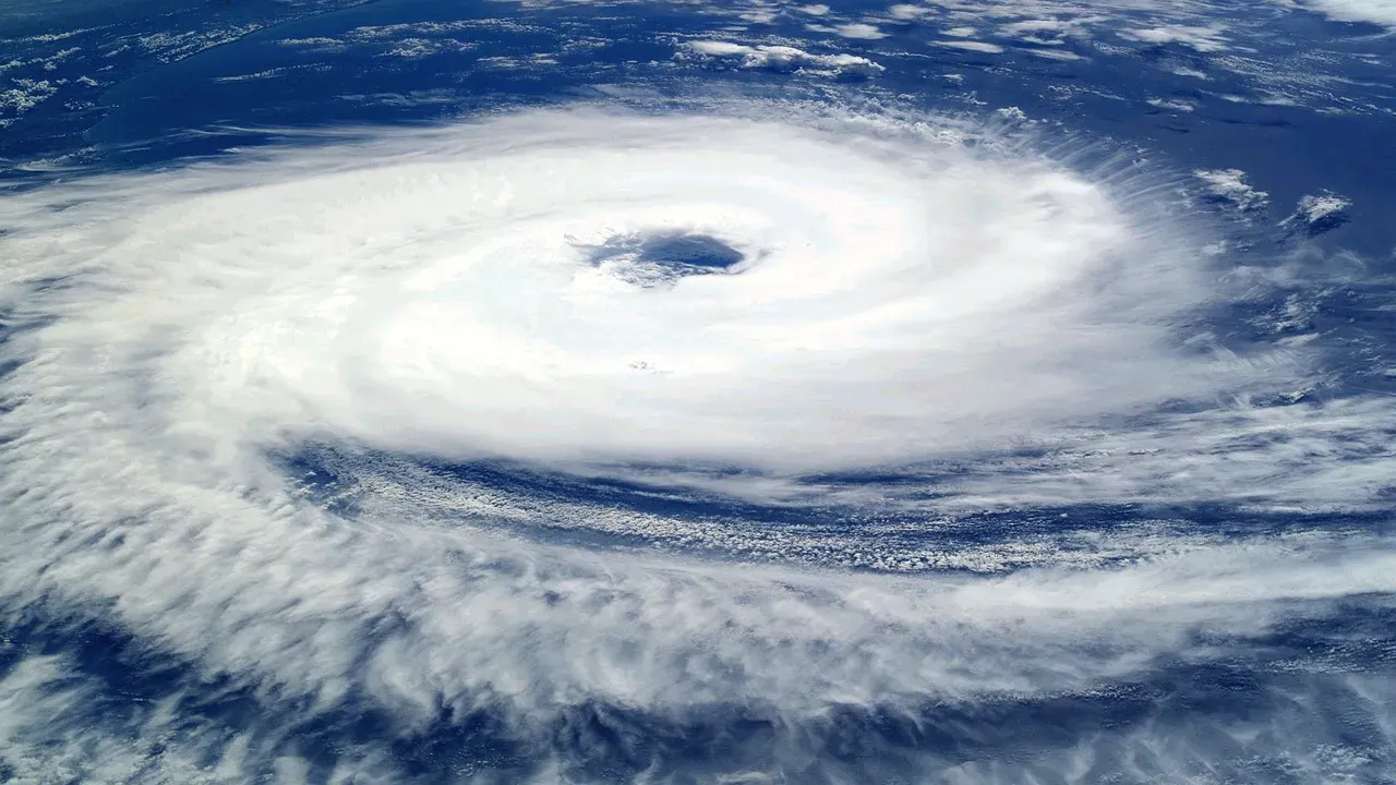
It’s easy to relax in November, but the calendar still matters. The Atlantic season runs through November 30. The western Atlantic remains a place for occasional late-season development.
This year has been busy enough that Kyle would be a late addition to the list. Earlier this season, Hurricane Imelda became a post-tropical cyclone as it moved into the open North Atlantic after affecting Bermuda. That history is a reminder that the area around the island stays active deep into the season.
Conclusion: what to watch next
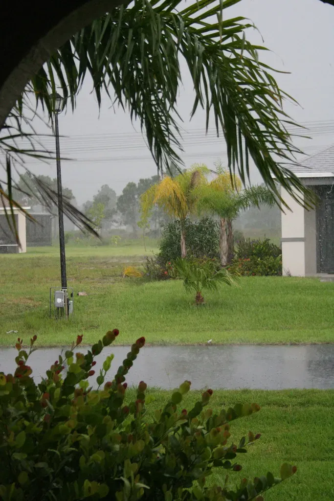
The most important points are simple. A low is expected to form northeast of the Bahamas, and the NHC rates the seven-day odds as medium. Shear and cooler, less favorable conditions should limit how far it gets, and the U.S. coast isn’t in its path.
If it earns a name, Kyle will likely be a short-lived, mostly offshore storm. Watch the NHC’s next outlooks, because those will settle the question faster than any speculation.
