

- 11 U.S. Cities Where Summer Heat Is Intensifying the Fastest - August 28, 2026
- 10 Cities Where Americans Are Moving Despite Growing Climate Risks - August 28, 2026
- 11 American Cities Where Winter Sunshine Is Surprisingly Reliable - August 28, 2026
Across the United States, a quiet but urgent shift is underway. Small towns and mid-sized cities, often working with shrinking federal budgets and rising insurance costs, are rebuilding roads, parks, and sewer systems to survive storms that used to be considered once-in-a-century events. Some of these places made headlines after a disaster forced their hand. Others acted early, betting that prevention costs less than recovery.
What follows is a look at eight American towns that have put real money and real engineering behind climate adaptation. Their approaches differ, from concrete floodwalls to living shorelines, but each offers a glimpse of what resilience actually looks like on the ground.
1. Hoboken, New Jersey
![1. Hoboken, New Jersey (Hoboken [Image 9 of 21], CC BY 2.0)](https://nvmwebsites-budwg5g9avh3epea.z03.azurefd.net/climatecompass247/c77efe19cbdb3a3eadaedc7d1865d390.webp)
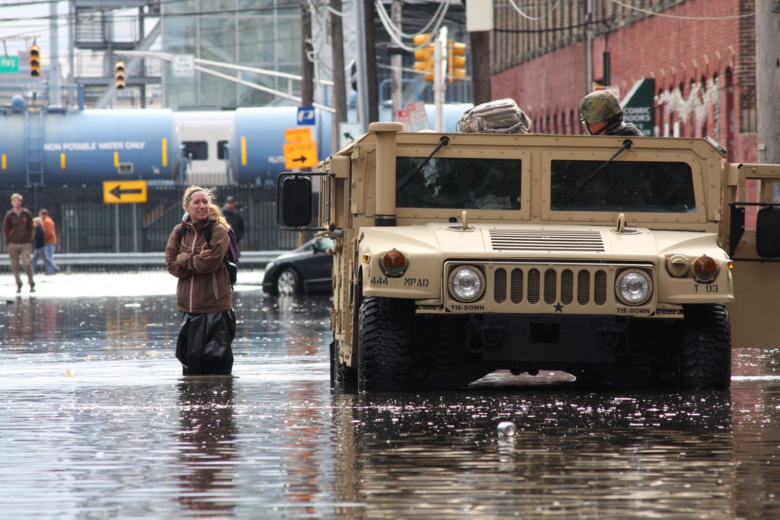
Hoboken has become something of a case study in urban flood defense since Hurricane Sandy submerged much of the low-lying city in 2012. Superstorm Sandy left the city underwater, with a 14-foot storm surge submerging roughly 80% of the bowl-shaped city and causing an estimated 100 million dollars worth of damage. That disaster pushed the city into a multi-decade partnership known as Resist, Delay, Store, Discharge, funded largely through federal Rebuild by Design money.
The centerpiece is ResilienCity Park, a five-acre green space that doubles as underground flood storage. It can temporarily detain two million gallons of stormwater underground. Beyond the park, the North Hudson Sewerage Authority has been installing new pump stations and sewer lines, an effort that has cost close to 100 million dollars, with 58 million dollars of that coming from the Biden infrastructure program. The city continues to add resiliency parks and floodwalls, treating flood control as an amenity rather than an eyesore.
2. Norfolk, Virginia
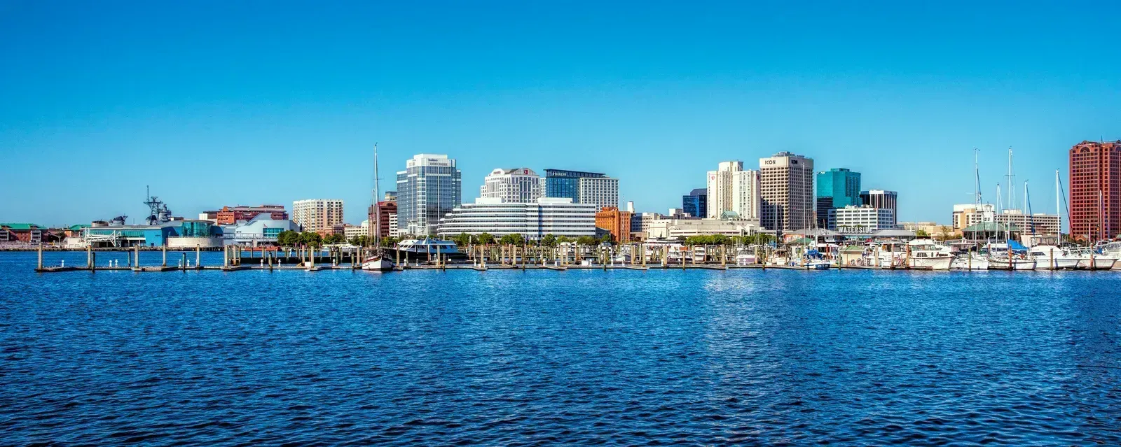
Norfolk sits at the heart of one of the most flood-prone metro regions on the East Coast, and its Ohio Creek Watershed Project has become a national reference point for neighborhood-scale adaptation. In 2016, Norfolk was awarded a 112 million dollar federal grant from the National Disaster Resilience Competition for the project. The funding targeted the Chesterfield Heights and Grandy Village neighborhoods along the Elizabeth River, areas that flood regularly even without a named storm.
City planners used a real flood event to justify the scale of the work. Officials used Hurricane Irene to demonstrate the need in Chesterfield Heights, since water levels during the 2011 storm rose about six feet above sea level. The project, which completed construction in 2024, combined earthen berms, tide gates, raised roads, and a restored tidal wetland into a single system. Local officials now describe it as a working model other coastal communities can study before disaster forces their hand.
3. Swannanoa, North Carolina
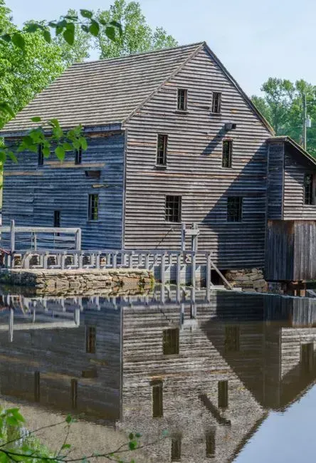
Swannanoa was one of the communities hit hardest when Hurricane Helene tore through western North Carolina in 2024, and its recovery has become tied directly to long-term flood planning rather than simple rebuilding. North Carolina’s Department of Environmental Quality has awarded more than 1.2 million dollars for flood resilience projects in Swannanoa and Rosman through its Flood Resiliency Blueprint program. The funding is modest compared to coastal megaprojects, but it targets the exact stretches of river that failed during Helene.
The engineering focus is on giving floodwater somewhere to go besides people’s homes. The projects aim to create nearly nine million gallons of flood water storage, restore 3,000 feet of tributary streams and three acres of wetlands, stabilize streambanks, and install natural stormwater infrastructure. It is a smaller, slower kind of resilience work, built stream by stream rather than through one large capital project, but it reflects how mountain towns are rethinking their relationship with water after a storm many assumed could never reach them.
4. Isle de Jean Charles, Louisiana
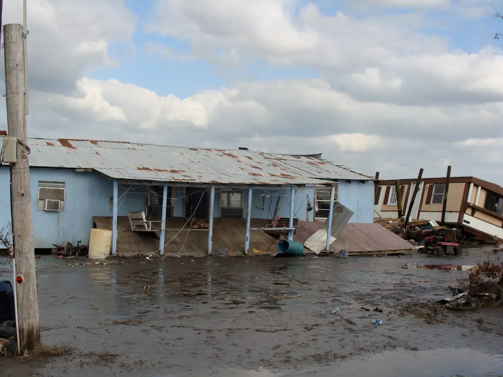
Few places illustrate the limits of hard infrastructure quite like Isle de Jean Charles, a narrow strip of land in Terrebonne Parish that has lost the vast majority of its landmass to erosion, subsidence, and rising seas over the past several decades. Rather than building higher levees around a shrinking island, state and federal officials chose a different form of resilience: relocation. The effort, supported by a federal disaster resilience grant, involved resettling residents to higher, more stable ground inland while preserving the community’s cultural identity as a group.
The project drew national attention as one of the first federally funded resettlements tied explicitly to climate change in the continental United States. It has not been without friction, since moving an entire community involves questions of land ownership, tribal identity, and what gets left behind. Still, planners in other vulnerable coastal areas have studied the Isle de Jean Charles model closely, recognizing that at some point, adaptation means accepting that certain ground simply will not hold.
5. Miami Beach, Florida
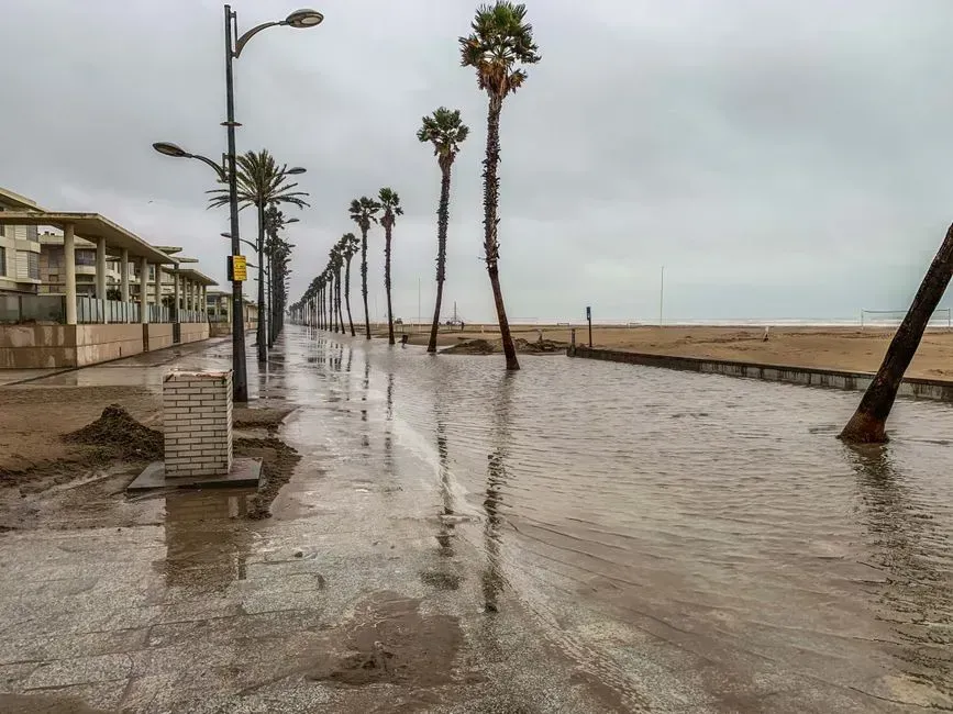
Miami Beach faces a different kind of flooding problem than most American towns, one driven less by storms and more by routine high tides pushing saltwater up through its drainage system. In response, the city has spent years raising roads, installing dozens of stormwater pumps, and elevating seawalls across its most vulnerable neighborhoods. The work is visible and disruptive, with entire blocks torn up and rebuilt several inches higher than before.
Critics have pointed out that raising roads can simply push water toward adjacent low-lying properties, and the city has had to adjust its approach neighborhood by neighborhood as a result. Even so, Miami Beach’s pump network has measurably reduced the frequency of nuisance flooding during king tide season compared to a decade ago. The city’s experience has become a cautionary but instructive example for other low-lying coastal communities now confronting the same tidal math.
6. Charleston, South Carolina
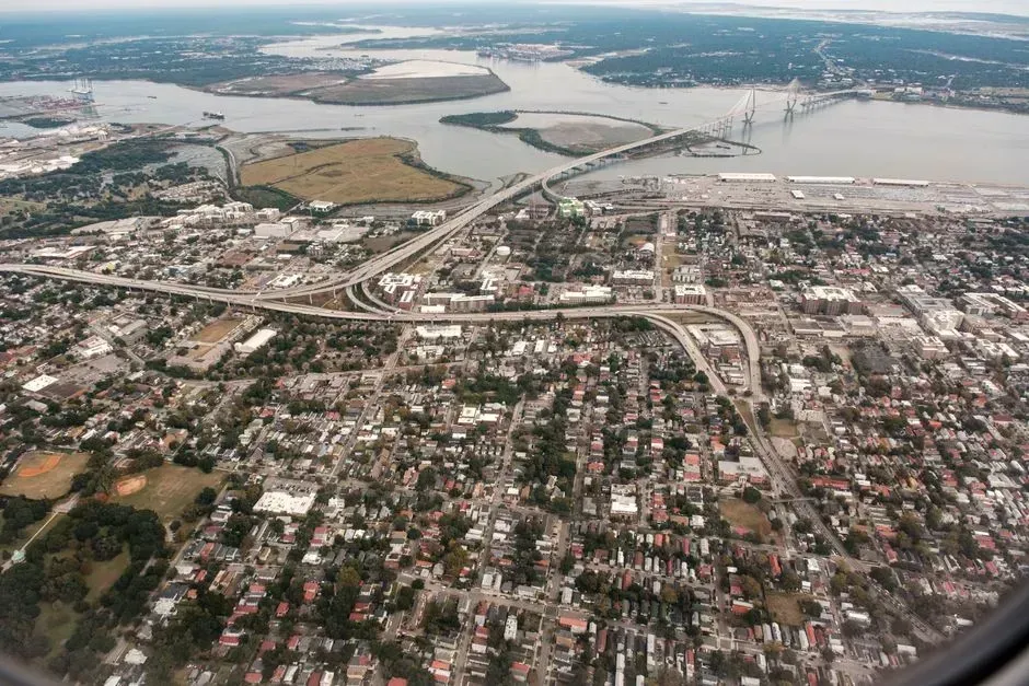
Charleston’s historic peninsula sits barely above sea level in many places, and the city has leaned on a mix of old and new engineering to keep it dry. The rebuilding of the Low Battery seawall, a structure originally built more than a century ago, has been paired with an expanding network of underground drainage tunnels designed to move stormwater away from downtown streets faster than the old colonial-era pipes ever could.
These projects are expensive and slow, often taking years longer than initially planned because of the delicate work of building around historic foundations and buried utility lines. Yet Charleston has continued to prioritize the work, partly because tourism and property values in the historic district depend on streets that do not flood every time it rains hard. The city’s approach shows how resilience spending in older communities often has to work around history rather than simply replacing it.
7. Soldiers Grove, Wisconsin
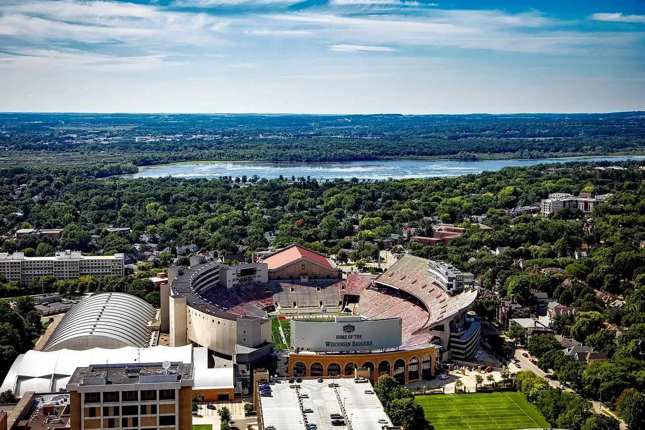
Soldiers Grove offers one of the earliest and most complete examples of a town choosing to move rather than keep rebuilding in a floodplain. After repeated flooding from the Kickapoo River through the 1970s, residents and town leaders made the decision to relocate the entire business district to higher ground rather than continue patching up buildings that flooded almost every year.
The new downtown, built in the early 1980s, was also designed around passive solar heating, making it one of the first solar-oriented commercial districts in the country at the time. Decades later, Soldiers Grove is still cited in planning literature as an early proof of concept for managed retreat, a strategy that has since become far more common as coastal and river towns run out of ways to simply build higher walls.
8. Grand Forks, North Dakota
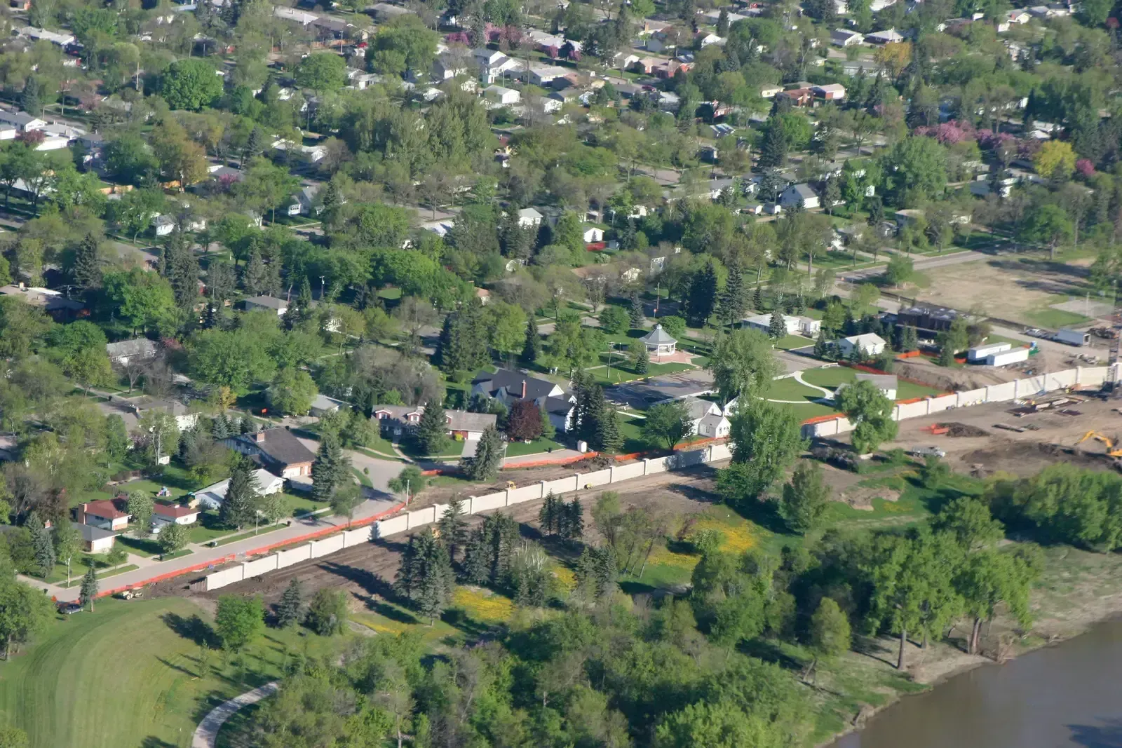
Grand Forks rebuilt itself almost entirely after the Red River flood of 1997 destroyed much of its downtown, and the recovery became one of the largest voluntary buyout and levee programs in American history. Rather than rebuilding homes in the same flood-prone areas, the city and federal partners purchased and removed thousands of structures along the riverbanks, converting the cleared land into a permanent greenway.
That greenway now doubles as parkland and flood storage, absorbing high water that once poured directly into neighborhoods. The surrounding levee system, upgraded significantly after 1997, has held during subsequent high-water years that would likely have caused serious damage under the old flood defenses. Grand Forks is often cited by emergency planners as evidence that large-scale retreat from a floodplain, while costly upfront, can pay for itself many times over during the next major flood.
Taken together, these eight towns show that climate resilience in America rarely follows a single blueprint. Some communities are pouring concrete and installing pumps, while others are moving people and buildings out of harm’s way entirely. What connects them is a shared recognition that waiting for the next disaster to force action has become far more expensive than preparing for it now, even as federal funding for these efforts grows less predictable by the year.
