

- 9 States Where Wildfire Risk Is Expanding Into New Areas - August 30, 2026
- The Windiest City in America Is Not Chicago – Here’s Where It Actually Is - August 30, 2026
- 7 U.S. Cities Where Home Insurance Could Become Unaffordable by 2035 - August 30, 2026
For decades, wildfire in the American imagination meant one region: the dry hills and forests of the West. That picture no longer holds. Fire agencies, insurers, and climate researchers are now tracking a slower but unmistakable shift, one where flames show up in places that used to be considered safe from them.
The reasons vary from state to state, but a few threads keep repeating: longer dry spells, thicker vegetation left unmanaged for years, and more houses built where forests and grasslands meet subdivisions. Below are nine states where that expansion is showing up most clearly right now.
1. Florida
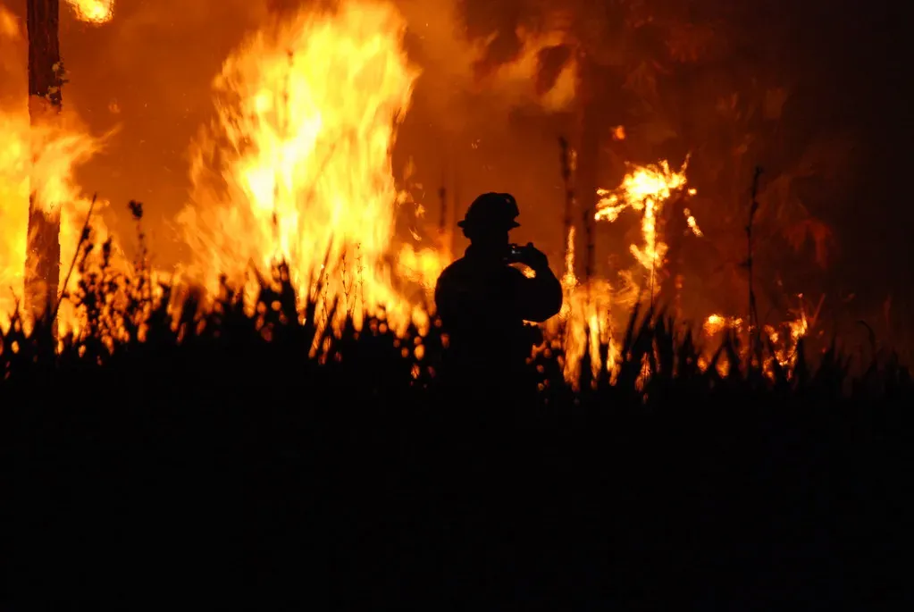
Florida has always had a fire season, but 2026 pushed it into new territory. Florida experienced record-setting wildfire activity in the first half of 2026, part of a pattern that also swept through Georgia and Nebraska. That is a notable shift for a state better known for hurricanes than flames.
Forecasters flagged this coming well before the fires started. The National Interagency Fire Center’s January 2026 seasonal outlook projected above-normal wildfire risk for much of Florida, tied to La Niña patterns that reduce precipitation and raise temperatures. Dense scrubland and rapid suburban growth near the coast give fires more fuel and more targets than in past decades.
2. Georgia

Georgia’s fire risk has crept northward and into new pine belts that historically saw only prescribed, controlled burns. Georgia joined Florida and Nebraska in posting record-setting wildfire activity during the first half of 2026. That is a striking entry for a state that rarely makes national wildfire headlines.
Part of the explanation traces back to a broader Southeastern trend. Southern states from Virginia to Texas recorded 37,088 wildfires in 2025, the highest number of reported wildfires compared with any other region in the nation. Georgia’s mix of pine plantations and expanding rural development sits squarely inside that pattern.
3. Nebraska

Nebraska is not a state most people associate with wildfire, yet it landed alongside Florida and Georgia in 2026’s record-setting activity. Elevated wildland fire exposure has spread into the Great Plains, driven by extreme heat, drought, and continued population growth in fire-prone areas. Grasslands that dry out quickly under sustained heat can carry fire almost as fast as forest fuels do.
The scale of the broader 2026 season underscores why a Plains state would suddenly stand out. More than 35,000 fires burned over 3 million acres nationwide during the first half of 2026, significantly exceeding 10 year averages for the same period. Nebraska’s share of that total reflects a landscape that is drying out in ways it did not used to.
4. Texas
Texas already has a wildfire reputation thanks to its size, but the geography of that risk is shifting east and north into areas once considered low-risk farmland and ranch country. Fires have been spreading across the Appalachians to the Southeast and even the Texas Panhandle, where the Smokehouse Creek Fire became the largest wildfire in state history. That fire, which tore through the Panhandle in 2024, showed how quickly grassland fire can outrun expectations built around forested-West scenarios.
The pattern is not a one-off. Federal forecasters flagged above-normal wildfire risk for much of Texas heading into 2026, linked to La Niña conditions that reduce rainfall and push temperatures higher. Rapid population growth in exurban counties around Austin, San Antonio, and the Panhandle towns adds homes into landscapes that burn easily.
5. North Carolina
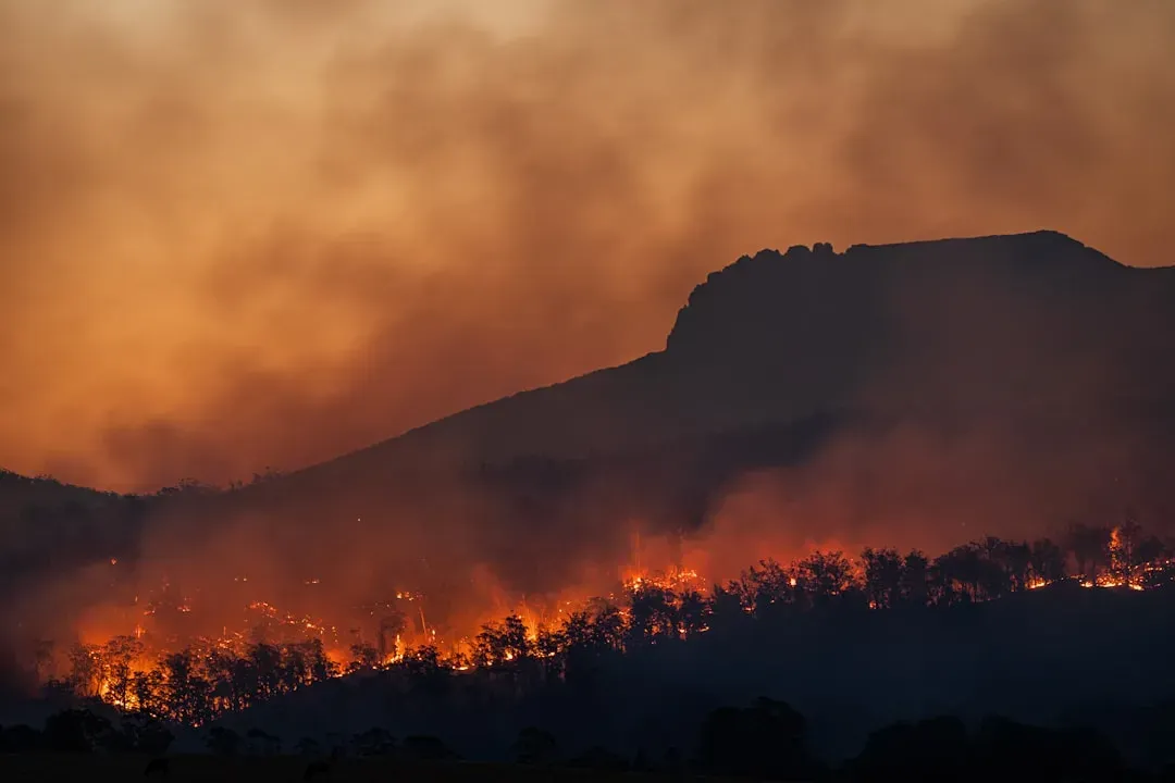
The Appalachian foothills of North Carolina have quietly become one of the more active wildfire zones east of the Mississippi. Fire crews responded to 5,779 wildfires across North Carolina in 2025, nearly double the number recorded in 2016. That kind of near-doubling over roughly a decade is hard to write off as a statistical blip.
The physical explanation lines up with what is happening across much of the East. Forests in the region have grown thicker over recent decades, piling up more fuel, while longer warm seasons mean more evaporation and drier vegetation. Add fallen leaves that act as tinder once conditions turn dry and windy, and formerly quiet mountain communities face a fire risk they were not built to expect.
6. Virginia
Virginia sits at the northern edge of the Appalachian fire trend, and it is no longer exempt from it. The same regional data that flagged North Carolina’s surge places Virginia inside the broader stretch of Southern states from Virginia to Texas that recorded 37,088 wildfires in 2025, the highest number of reported wildfires compared with any other region in the nation. For a state whose forestry programs were built around controlled, low-intensity burns, that ranking is a meaningful change.
Population density compounds the exposure. Roughly eighty percent of the U.S. population lives in the East, putting millions more people every year at risk for wildfire activity. Virginia’s suburban sprawl into wooded ridges around the Blue Ridge and Shenandoah areas puts more homes directly in the path of fires that used to burn through empty forest.
7. California
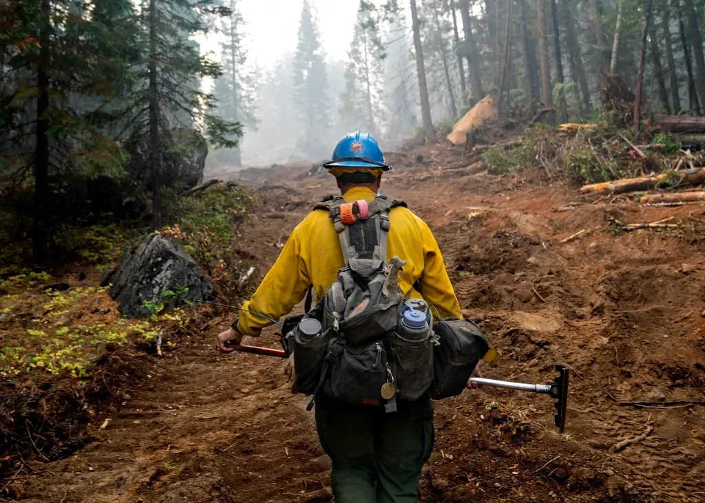
California remains the state most associated with catastrophic wildfire, but even here the risk is spreading into areas that had not previously seen major fire activity, particularly inland valleys and lower-elevation foothills. AccuWeather’s 2026 forecast projects California’s wildfire danger will increase through the summer, especially in interior valleys, foothills, and lower-elevation areas. Those zones have historically been less flammable than the mountain forests that dominate California fire coverage.
The insurance market is already reacting to that spread. The state’s FAIR Plan, its insurer of last resort, saw its total insured exposure grow from roughly 50 billion dollars in 2018 to 458 billion dollars in 2024, as private insurers pulled back from high-risk areas. California still holds the largest concentration of homes facing extreme wildfire exposure of any state in the country.
8. New Mexico
New Mexico’s fire season used to be a fairly predictable window in late spring, but that window has stretched into something closer to year-round risk. While fire season traditionally runs from early May through June before the monsoon arrives, there is an increasing fire risk year-round from climate change. That shift matters for a state where ranching and rural housing sit close to dry grassland and pinyon-juniper woodland.
Water availability plays a direct role in how far that risk now reaches. Droughts are becoming more common partly from rising temperatures that evaporate water from streams, and unpredictable monsoon levels can increase fire risks further. Strong winds, a longstanding feature of New Mexico weather, are becoming harder to predict as climate patterns shift the jet stream, adding another layer of unpredictability to where fires spread next.
9. Arizona
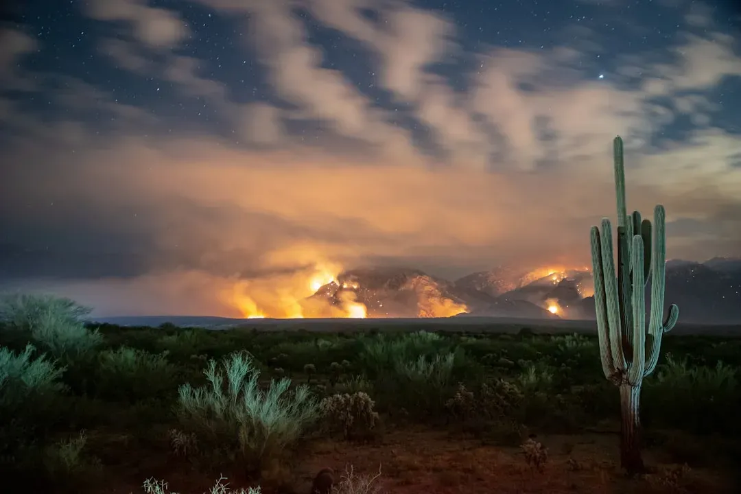
Arizona’s fire calendar has effectively lost its off-season. Fire season historically began in April in desert areas and May around the Mogollon Rim, but there is now a fire risk year round. That change pushes risk into months and elevations that communities did not traditionally plan around.
Snowpack, once a reliable buffer, is losing some of its protective effect. Mountain snowpack melt normally reduces wildfire risk by adding moisture, but climate change can raise the snow line, reduce snowpack, decrease runoff, or cause earlier snowmelt. As that buffer shrinks, mid-elevation forests and high desert grasslands that once had a built-in reprieve are seeing fire activity creep into new seasons and new terrain.
Taken together, these nine states point to a pattern rather than a coincidence. More Americans are moving into the wildland-urban interface, the zone where developed areas meet undeveloped vegetation, and roughly one third of all homes in the continental United States, more than 46 million homes, now sit in that exposed zone. Fire behavior that once stayed within familiar Western boundaries is increasingly shaped by heat, drought, and where people choose to build, not by old assumptions about which parts of the country are supposed to burn.
