


- The Compostable Cup Left Intact for Years – 5 Backyard Composting Failures - November 15, 2026
- Fast-Fashion “Conscious” Lines Under Scrutiny – 5 Red Flags in Eco-Clothing - November 15, 2026
- Space Engineers Explain 5 Quiet Changes Making Rocket Launches Safer Than Ever - November 15, 2026
1. Beaches and cliffs are eroding faster than they can rebuild
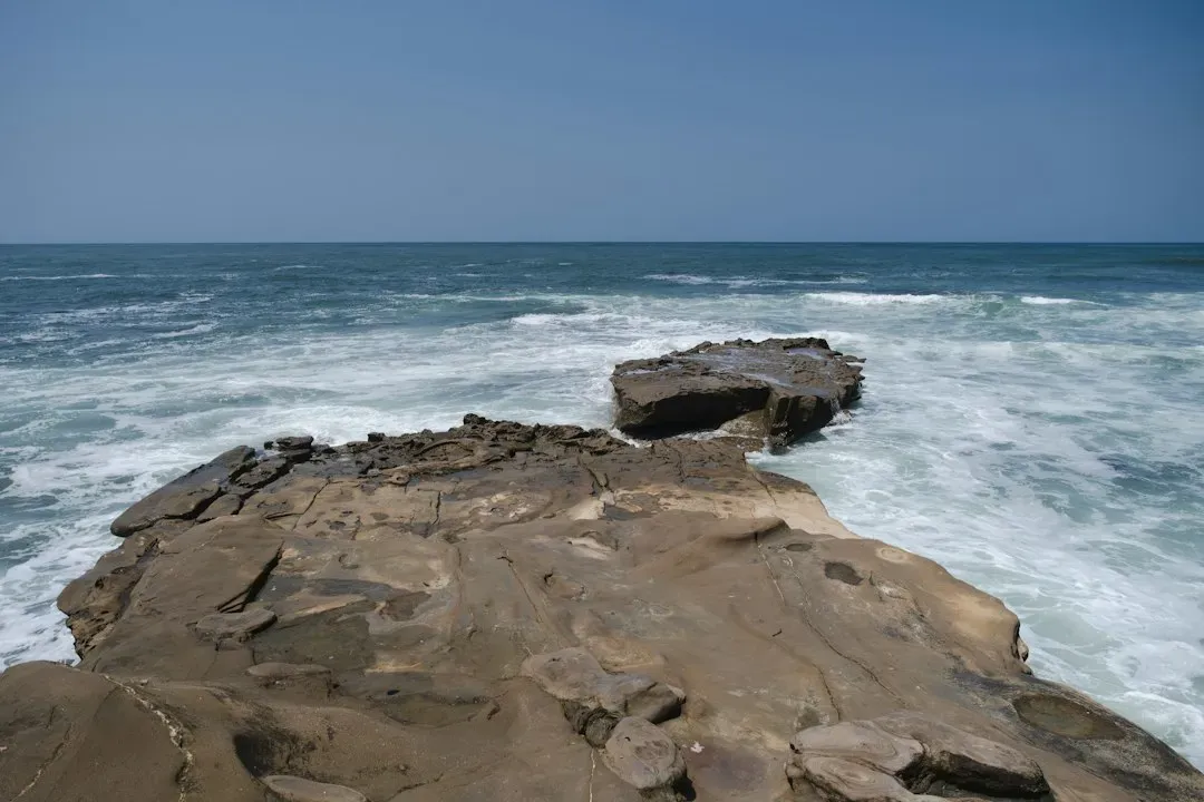
Sea level rise does not just push water higher, it changes how waves interact with the shore. Rising sea levels mean that waves and tides reach higher elevations and far more frequently than before, eroding the upper parts of beaches and the bases of coastal bluffs. Over the past several decades this has translated into measurable land loss on a scale that is hard to picture until you see the numbers.
Scientists estimate that between 1984 and 2015 the planet lost nearly 28,000 square kilometers of land to coastal erosion, an area comparable to the size of Belgium. In the United States alone, coastal erosion is responsible for roughly 500 million dollars per year in coastal property loss, including damage to structures and loss of land. Some shorelines have it worse than others; many beaches along the nation’s coastline have lost more than six feet of shoreline a year over the last century.
2. Saltwater is creeping into farmland and drinking water supplies
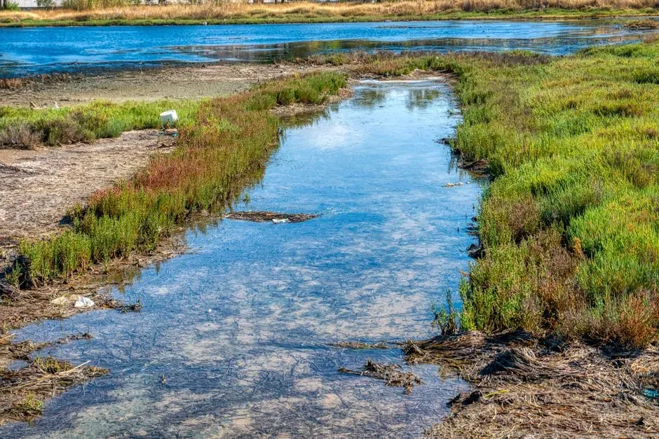
One of the less visible but more consequential shifts is happening underground. Saltwater intrusion into groundwater systems is a slow-onset climate crisis, as increasing global temperatures lead to the thermal expansion of water and melting polar ice, pushing saltwater further into coastal lands. Farmers who never worried about salinity are now watching yields drop in fields that were productive for generations.
The scale of this problem is projected to grow substantially by the end of the century. Nearly 77 percent of global coastal areas below 60 degrees north will undergo saltwater intrusion by 2100, with different dominant drivers. Closer to home, approximately 150,000 square kilometers of agricultural land and 23 of the world’s megacities are located in low-elevation coastal zones close to an estuary, putting both food production and urban water systems in the path of advancing salt.
3. Coastal wetlands and forests are shifting inland or dying off
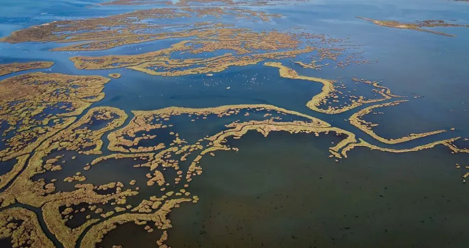
Marshes and swamps have always adapted to changing water levels, but the current pace is testing their limits. Coastal forests and farmlands in parts of the Southeast are being negatively affected by saltwater intrusion and soil salinization due to sea level rise, storms, tides, droughts, and water resources management, causing crop yield declines, coastal forest loss, increases in salt-tolerant invasive species, eutrophication and marsh migration. What used to be a healthy pine forest can turn into a “ghost forest” of dead, salt-killed trunks within a couple of decades.
This vegetation stress compounds other risks. Vegetation stressed by salinization is more susceptible to mortality by events such as droughts, hurricanes, and fires, which means a single bad storm season can accelerate a transition that might otherwise have taken much longer. Wetlands that migrate landward can still provide some buffer against storms, but only if there is undeveloped land behind them for the marsh to move into.
4. Nuisance flooding is turning into a routine part of coastal life
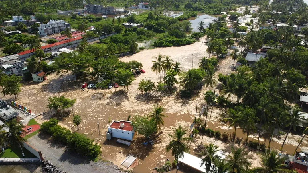
Storm surges used to be the main flooding worry for coastal towns. Now, ordinary high tides are doing damage on their own. High-tide flooding is now 300 percent to more than 900 percent more frequent than it was 50 years ago.
This kind of flooding rarely makes national news because no single event looks dramatic, yet the cumulative effect on roads, basements, and storm drains is significant. In the United States, almost 40 percent of the population lives in relatively high-population-density coastal areas, where sea level plays a role in flooding, shoreline erosion, and hazards from storms. Streets that flood a handful of times a year now flood dozens of times, turning what was once an occasional inconvenience into a planning problem for local governments.
5. Pacific island nations are confronting the possibility of total displacement
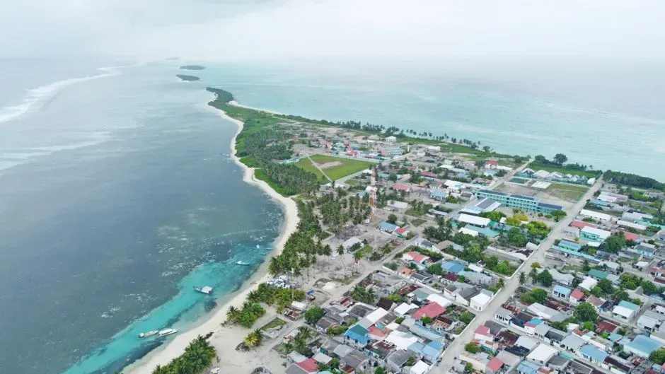
For a handful of low-lying nations, the conversation has moved past adaptation and into questions of survival as a state. Tuvalu is the clearest example. With just around 10,000 residents, this Pacific network of reef islands and atolls has seen sea levels rise around 6 inches over the past three decades, one and a half times the global average.
The response has been unprecedented. Between 65 and 80 percent of Tuvaluans applied for a special visa in its inaugural year in 2025, roughly 8,700 people of an estimated 10,000 to 13,000 eligible global population, one of the highest migration application rates on Earth. Even so, the country is not giving up its legal standing. An International Court of Justice ruling in 2025 clarified that loss of physical territory due to sea level rise does not automatically result in the loss of statehood or sovereignty, allowing Tuvalu to remain a nation state with rights over its ocean resources and a seat at the UN, even if its islands are underwater.
6. Coastal communities are starting to move away from the water on purpose
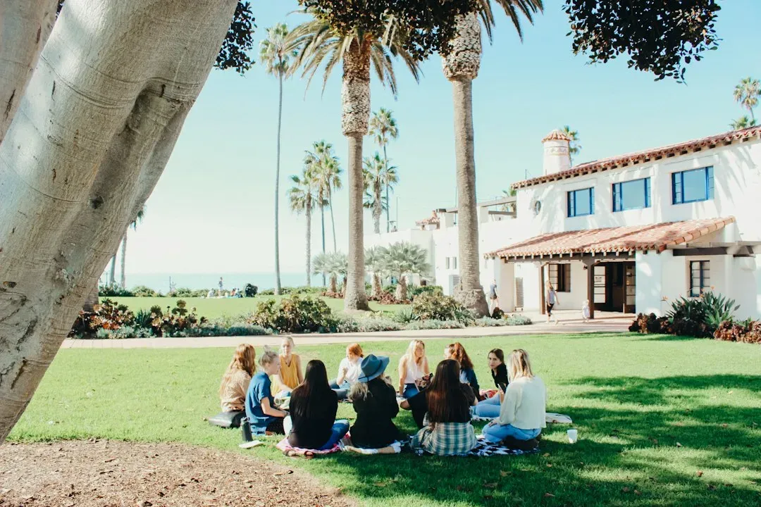
Managed retreat, once a fringe idea, is becoming an official policy tool in several countries. In Massachusetts, for instance, a state coastal resilience initiative’s draft plan released in spring 2025 recognizes that the state has an important role to play in supporting coastal municipalities and residents in planning for a range of adaptive measures, including managed retreat. Community meetings that would have seemed unthinkable a decade ago are now drawing real interest.
The approach has a track record dating back to Hurricane Sandy. In total, 180 out of 184 homeowners were approved for a buyout program in one Staten Island community, and the majority of the residents relocated. Research on similar programs suggests they can even benefit the areas left behind; buyout and acquisition programs generally increase nearby property values on average and also improve business performance and urban amenities in the broader neighborhood.
7. Barrier islands are losing their ability to shield the mainland
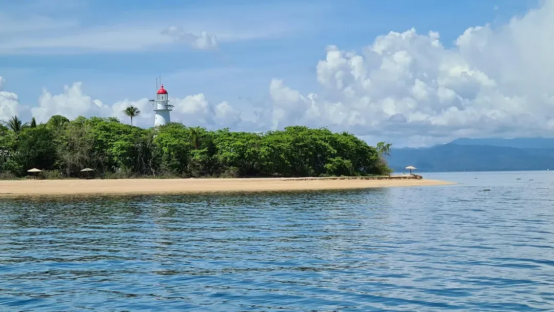
Barrier islands have historically acted as a first line of defense, absorbing wave energy before it reaches populated shorelines. That protective role is weakening as storms grow more intense and sea level gives waves a higher starting point. Hurricanes can wash away sandy barrier islands, leaving coastlines and islands unprotected from storm surge.
The sand that once anchored these islands does not always come back on its own. Waves and winds can carry away beach sand little by little, shrinking scenic beaches, and when a major storm hits a weakened barrier island, the damage can be effectively permanent rather than something the island simply recovers from over a season or two.
8. Critical infrastructure near the coast is facing new engineering demands
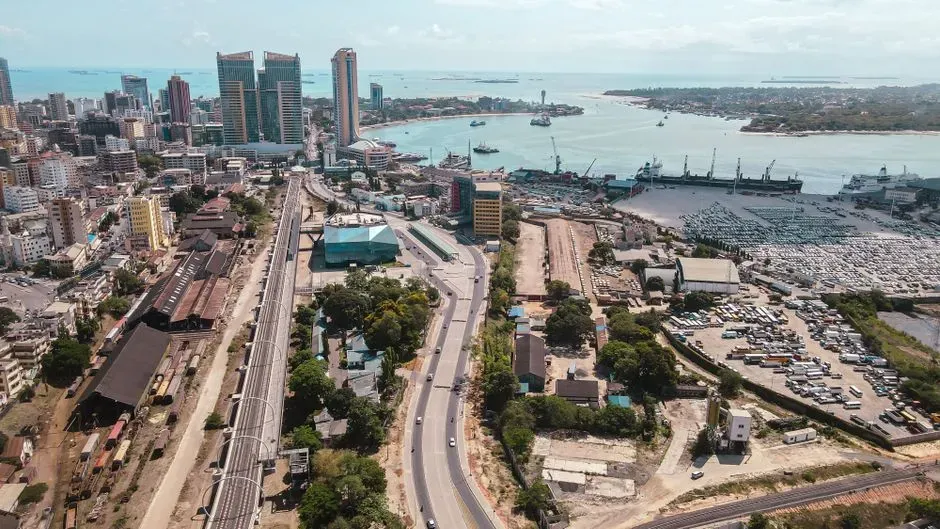
Ports, power plants, and transportation networks were mostly built for the sea levels of the twentieth century, not the ones arriving now. Impacts to infrastructure from sea level rise can include flooding, erosion of supporting soils, collapse of buildings, surges of saltwater into waterways, and transportation delays for aviation, ports, roadways, and railways near the coasts.
Energy facilities face a particular version of this problem because of where they were sited decades ago. Many of the approximately 104 nuclear power plants in the U.S. are situated along the coast due to nuclear plants requiring water for cooling purposes, which means retrofitting flood defenses at these sites has become a quiet but urgent engineering priority rather than a theoretical concern.
9. Storms are arriving from new directions and reshaping coastlines unpredictably
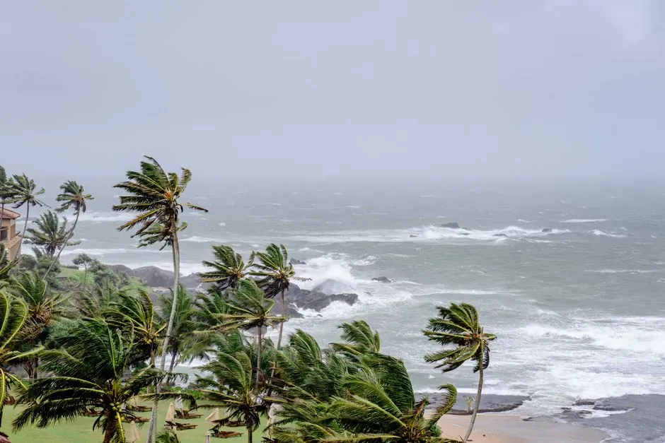
It is not just that storms are more frequent or more intense, it is that the geography of where and how they strike is shifting too. The very geography of erosion is changing: storms are shifting onto new trajectories, waves arrive from unfamiliar directions and grow taller, and in colder regions sea ice is melting, removing a natural buffer that once dampened their force.
This unpredictability makes coastal planning harder than simply reinforcing the spots that have always been vulnerable. Risks to settlements, infrastructure, and ecosystems are rising even in areas previously considered stable and safe, which means towns that never had a serious flood or erosion problem are now having to build monitoring and response plans essentially from scratch.
The common thread running through all nine of these shifts is that sea level rise rarely acts alone. It works alongside storms, groundwater pumping, sinking land, and decades of coastal development, which is why the damage shows up in so many different forms, from a farmer’s salty field to a nation’s visa lottery. Coastlines have always been dynamic, but the pace and breadth of change now underway is different in kind, not just degree, and the coming years will likely bring more of the same: incremental, uneven, and increasingly hard to ignore.