
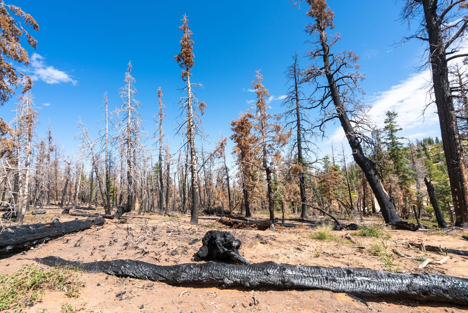
A patch of the map that keeps flashing red
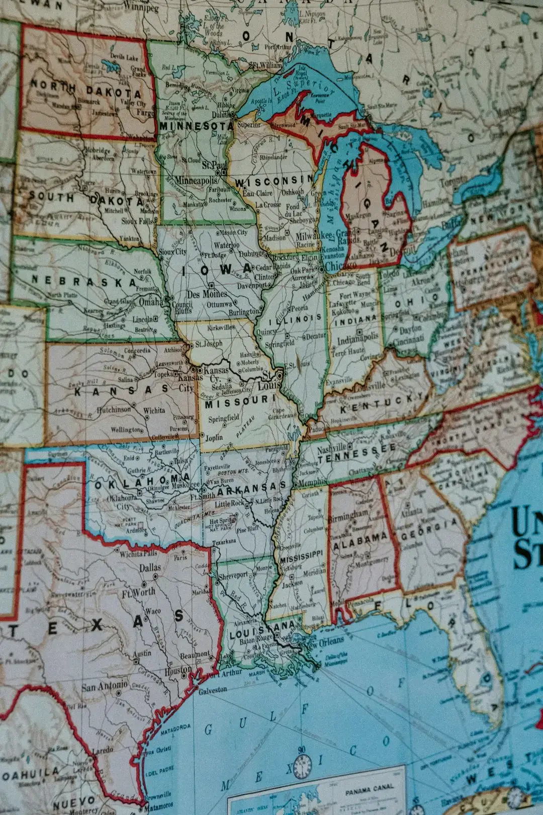
Weekly reports from the U.S. Drought Monitor have repeatedly singled out this corner of the country as a place where conditions are worsening rather than easing. Dryness and drought have been expanding and worsening over much of the South Region for the past few weeks, with rapidly deteriorating conditions observed across Oklahoma, the Texas Panhandle, and adjacent areas of Arkansas. That is not a one week blip. It is a pattern that has held through the middle of summer 2026.
Oklahoma offers a clear example of how quickly numbers can shift. Exceptional drought now covers a small but growing share of the state, and moderate to extreme drought conditions affect nearly the entire state compared to roughly six in ten counties just a week earlier. When a jump like that happens in seven days, it tends to catch the attention of farmers, ranchers, and water managers who were hoping for a calmer stretch.
What the numbers looked like in early August
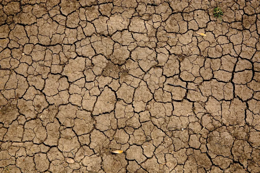
National drought statistics from early August put the scale of the problem in perspective. As of August 4, 2026, 40.72 percent of the United States and Puerto Rico and 48.54 percent of the Lower 48 states were in drought. That is nearly half the country, which is a striking figure on its own, but the trend lines matter as much as the snapshot.
The same reporting period showed a clear split between regions gaining relief and regions losing ground. Drought worsened again in the Northern Plains, conditions began deteriorating in the Southern Plains, and the Northwest continued to worsen as well. The Southern Plains showing up on that list of worsening areas is exactly the kind of signal that keeps climate watchers up at night, since this region has little cushion left after years of recurring dryness.
Six years of drought that never fully let go
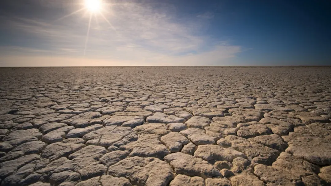
What makes the Southern Plains particularly vulnerable is not just this summer’s weather. It is the accumulated stress of nearly a full decade. Drought.gov researchers have described the recent period bluntly, noting that a run of La Niña winters has been a major driver behind persistent dryness across the southern half of the country.
Five of the last six winters saw a La Niña pattern, and the 2020 to 2023 stretch functioned as one continuous, unbroken La Niña event that kept the Southwest and Southern Plains very dry. That kind of extended dryness depletes soil moisture and groundwater in ways that a single good rainy season cannot fully reverse. It also means the region enters each new dry spell with less of a buffer than it would have had a decade ago.
Winter wheat country under pressure
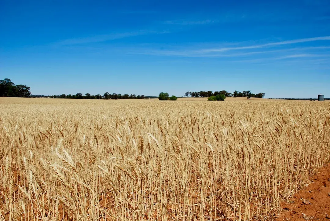
Western Oklahoma and southwestern Kansas sit at the heart of America’s hard red winter wheat belt, and this year’s dryness arrived at an inconvenient time. Early in 2026, meteorologists tracked a dry pattern that pushed several Kansas towns to record low precipitation totals for December, undercutting the moisture wheat needs going into dormancy.
Kansas totals at the time included Goodland receiving just over a tenth of an inch, more than nine inches below normal, while Medicine Lodge recorded zero inches, tying a record for dryness. Dry winter wheat fields are more than an agricultural inconvenience. Thin or stressed wheat stands leave soil more exposed, which in turn makes the land more prone to wind erosion and faster moisture loss once warmer months arrive.
Wildfire risk rising alongside the dryness
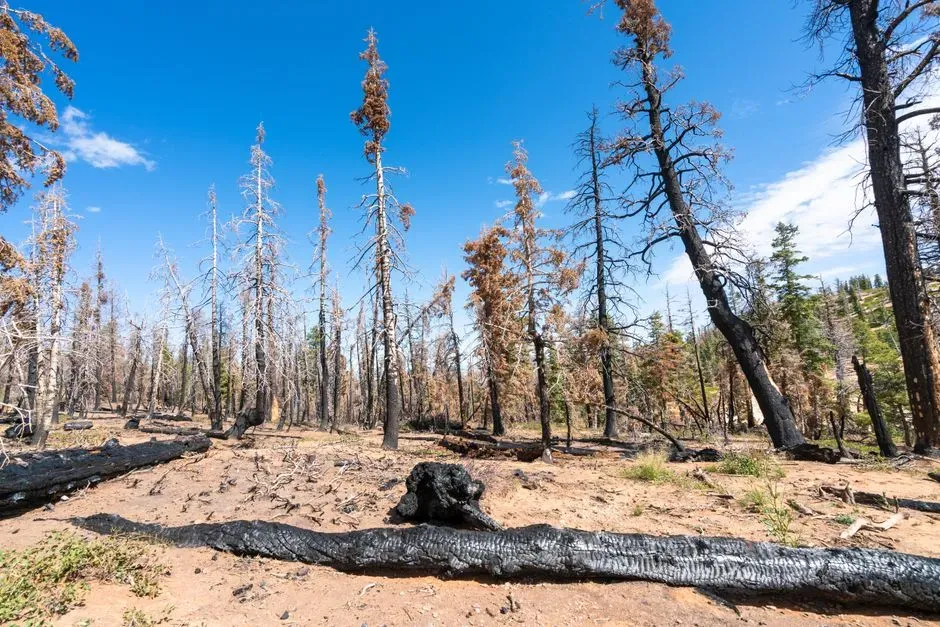
Drought and fire danger move together, and this region has already seen that relationship play out. Fires burned across Oklahoma, southwest Kansas, and the Texas Panhandle during the past winter, a season when fire activity is normally more subdued. Winter fires in grassland regions are often an early warning that vegetation is unusually dry for the time of year.
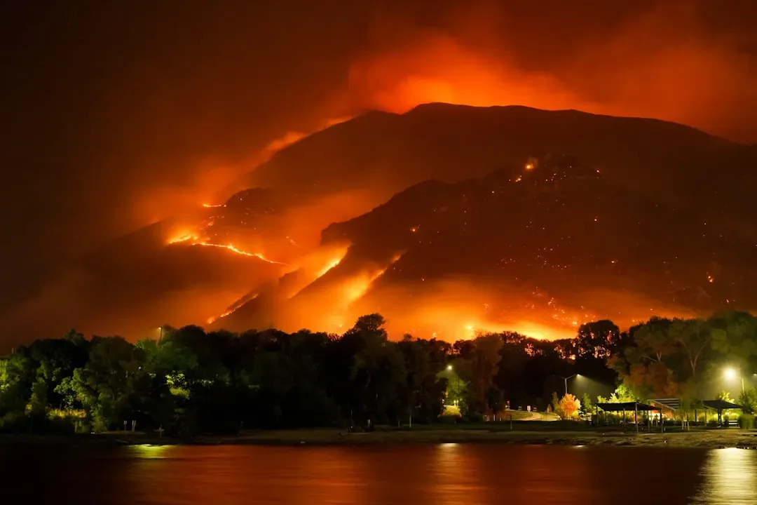
The mechanics behind that risk are straightforward. During drought conditions, fuels for wildfire such as grasses and trees can dry out and become more flammable, and drought can also increase both the probability of ignition and the rate at which fire spreads. With rangeland across much of Oklahoma already classified as moderately to extremely dry, the ingredients for a active fire season are largely in place.
A brief spring reprieve that did not last
Earlier in the year, there was genuine reason for cautious optimism. Forecasters expected La Niña to fade and bring some relief to the region. With La Niña likely to break down in early spring, drought conditions were expected to begin seeing signs of improvement.
That improvement did materialize in places, but it proved uneven and, in parts of the region, short lived. By midsummer, drought status updates were noting a mixed picture rather than a clean recovery. Though drought conditions improved in the Southern Plains overall since June, portions of Northern Texas, Oklahoma, and Kansas continued to face significant drought challenges, including increasing wildfire risk and harm to crops, rangelands and water supplies. In other words, the recovery skipped over exactly the counties now flagged as the most concerning.
Why late summer heat is making things worse
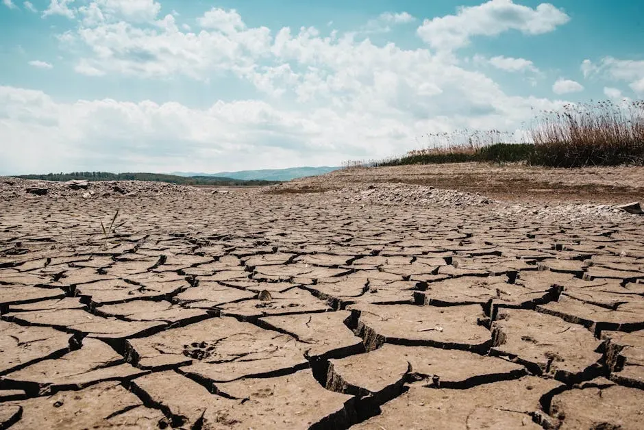
Heat compounds drought by pulling moisture out of soil and vegetation faster than it can be replaced, even when a bit of rain falls. That dynamic has been especially pronounced in this region through the middle of 2026. High pressure brought unseasonably hot and dry conditions across most of the West this week, and while monsoon storms provided some rainfall across Arizona and western New Mexico, those amounts were not enough to offset long term precipitation deficits.
The forecast for the following months does not offer much reassurance either. Long range forecasts suggested high temperatures were likely to continue through August into October, with only near equal chances for above or below normal precipitation. A coin flip on rainfall combined with a near certainty of continued heat is not a comforting combination for a region already running a moisture deficit.
El Niño offers hope, but with real caveats
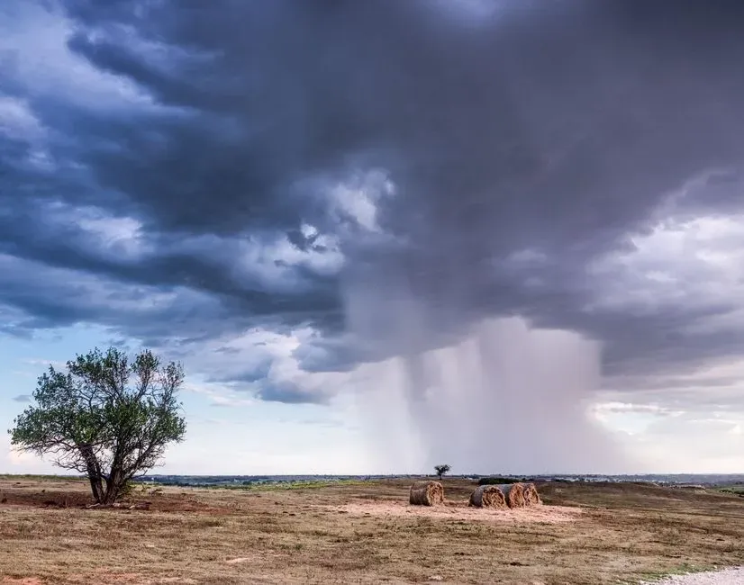
There is a potential turning point on the horizon in the form of a shifting ocean pattern. A strong El Niño event is expected to bring a wetter and cooler winter to Texas, which would be welcome news after years dominated by the drier La Niña pattern. Historically, El Niño winters tend to favor increased moisture across the southern tier of the country.
Still, experts are careful not to oversell that possibility. Typical El Niño weather patterns would bring needed improvement to drought across the Southern Plains, but they would not definitely end it without being historically wet, which could bring other consequences like flooding. Even in a best case scenario, the transition from drought to true recovery for a region with six years of accumulated deficits would likely take more than one good season.

- 7 U.S. Cities Quietly Becoming Unaffordable While Nobody Was Watching - August 30, 2026
- Meet the Region Where America’s Next Major Drought Could Develop - August 30, 2026
- Why the Next Arctic Blast Is Expected Sooner Than Usual – And Where It Will Hit Hardest - August 30, 2026
