

Something shifted high above the North Pole in the closing weeks of 2025, and meteorologists noticed almost immediately. The stratospheric polar vortex, that swirling cap of frigid air that normally keeps its coldest core locked up near the Arctic through early winter, began wobbling months ahead of its usual schedule. For anyone who pays attention to when winter actually arrives rather than when the calendar says it should, this timing shift matters, and it is already reshaping how forecasters talk about the months ahead.
What follows is a look at why this cycle of cold snaps keeps starting earlier, which atmospheric and oceanic signals are driving it, and which regions across North America, Europe, and beyond are positioned to feel it most acutely.
An unusually early stratospheric warming event set the stage
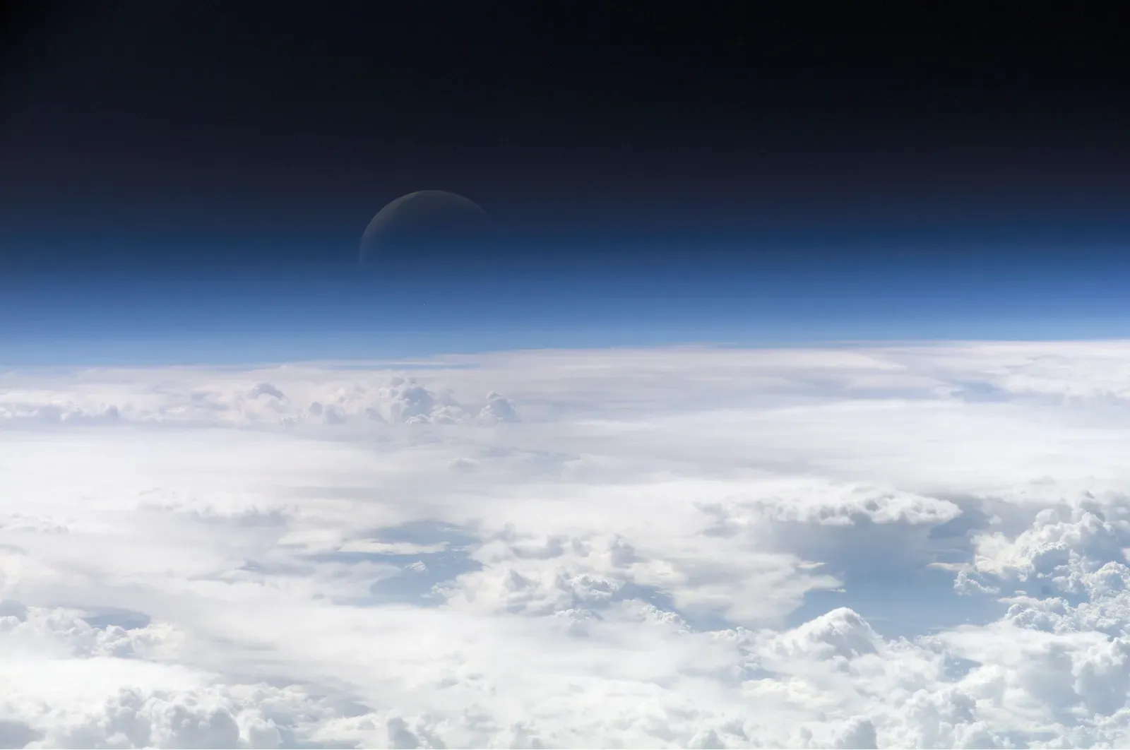
In mid-November 2025, scientists tracking the upper atmosphere spotted something rare. Changes in the stratosphere were set to upend weather patterns and set the stage for a cold, snowy December across parts of the Northern Hemisphere, with the shift potentially beginning the week of Thanksgiving. That alone would be notable, but the real surprise was the calendar.
Sudden stratospheric warming events of this magnitude are almost unheard of in November, according to Judah Cohen, a research scientist at MIT. Typically, these disruptions cluster in January or February, after the vortex has had time to fully establish itself. Some researchers considered it possibly one of the earliest significant polar vortex disruptions recorded since the dawn of the satellite era, which is part of why it drew so much attention from the scientific community.
How a weak polar vortex actually spreads cold air southward
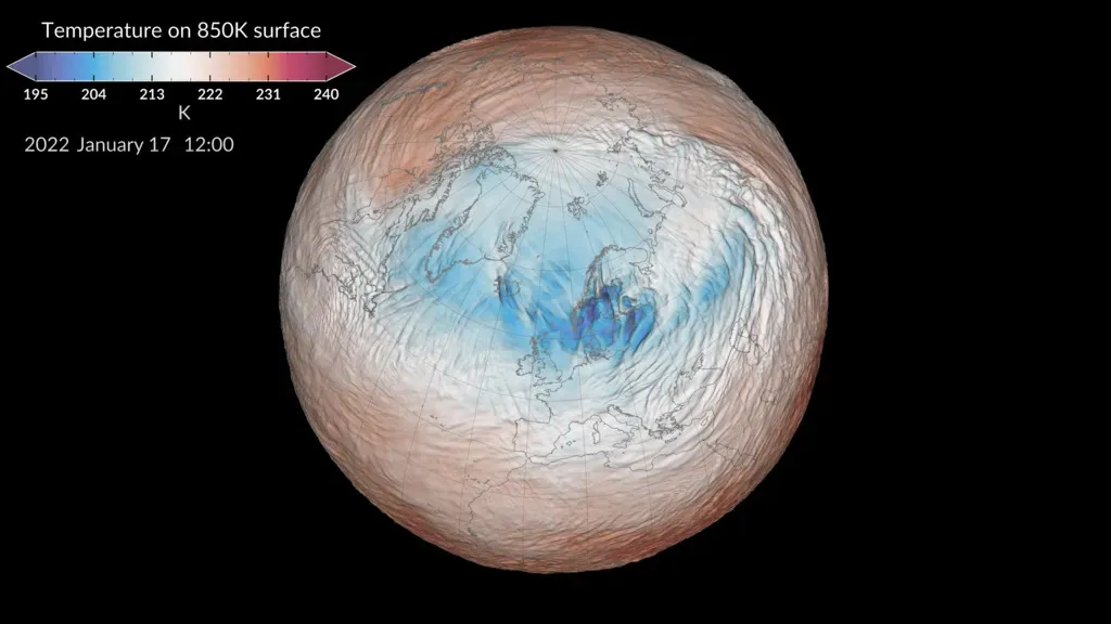
The mechanics here are worth understanding, because they explain why a disturbance thousands of miles up in the stratosphere ends up affecting whether you need a heavier coat in Chicago or Manchester. Think of the stratospheric polar vortex like a wall of wind, corralling the ultra-cold, Arctic air over the North Pole. As long as that wall holds firm, the coldest air mostly stays put.
The trouble starts when the wall weakens or splits apart. When it weakens, cold air spills south into places like the Lower 48, Europe and Asia. A weakened vortex does not just fade quietly, either. Analysis of past winter years with a negative QBO shows a high-pressure anomaly, meaning the polar vortex is usually weaker and displaced from its usual polar area during these episodes. That displacement is precisely what sends Arctic air wandering into the midlatitudes instead of staying locked up north.
La Niña and a negative QBO created ideal conditions for disruption
Weather patterns rarely have a single cause, and this one is no exception. A very early polar vortex disruption paved the way for consistent Arctic air across southern Canada through December and into early 2026, arriving alongside the return of La Niña. That combination of factors created a background state the atmosphere seemed primed to exploit.
Researchers who track these signals point to a specific pairing. A La Niña pattern combined with a negative QBO tends to be more favorable for a weakening event of the polar vortex, meaning winter weather patterns can be more easily disrupted, potentially bringing colder weather and snow to the United States and other midlatitude regions. Neither factor alone guarantees a cold winter, but stacked together, they tilt the odds noticeably.
Recovery from a disrupted vortex can take weeks, not days
One detail that often gets lost in the day-to-day forecast chatter is just how long these disruptions linger. A wobble in the stratosphere is not a one-and-done event that resolves itself in a few days. Once the polar vortex is disrupted, it can take a month or more to recover, according to Andrea Lopez Lang, a meteorologist at the University of Wisconsin-Madison.
That extended recovery window is exactly why an early-season disruption carries outsized consequences. Instead of a brief cold snap followed by a quick return to normal, the atmosphere can spend weeks in a disrupted state, opening the door for repeated waves of Arctic air rather than a single event. Scientists have been watching for colder than normal conditions to develop in the midlatitudes, where most of the world’s population resides, over the following month or so.
North America braced for a classic, harsh winter pattern
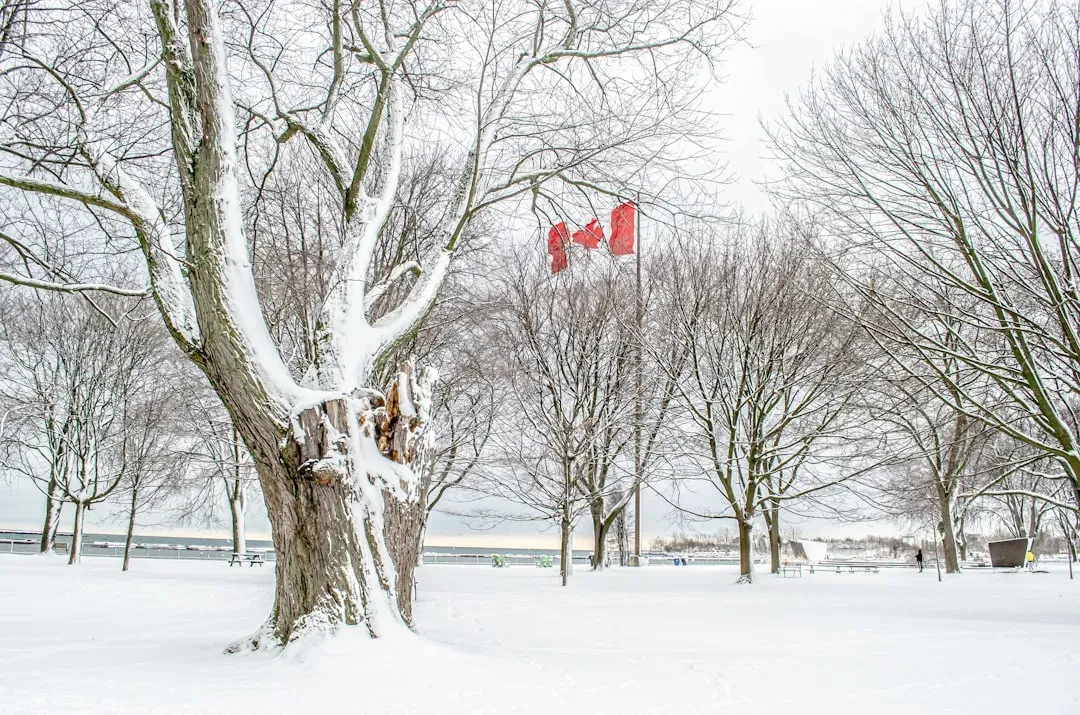
Canada felt the effects of the early disruption almost immediately. A polar vortex, described as a large area of low pressure heading south from the Arctic, brought cold weather across many parts of the country starting in late November 2025. For a region accustomed to milder recent winters, this represented a return to older patterns.
Quebec and southern Canada in particular were flagged for a season that felt like a throwback. Forecasters described the combination of factors as promising a classic Canadian winter across much of the province, with frigid air, above normal precipitation, and messy transitions between snow, sleet, and freezing rain all part of the outlook.
The United States saw one of its most persistent cold streaks in years
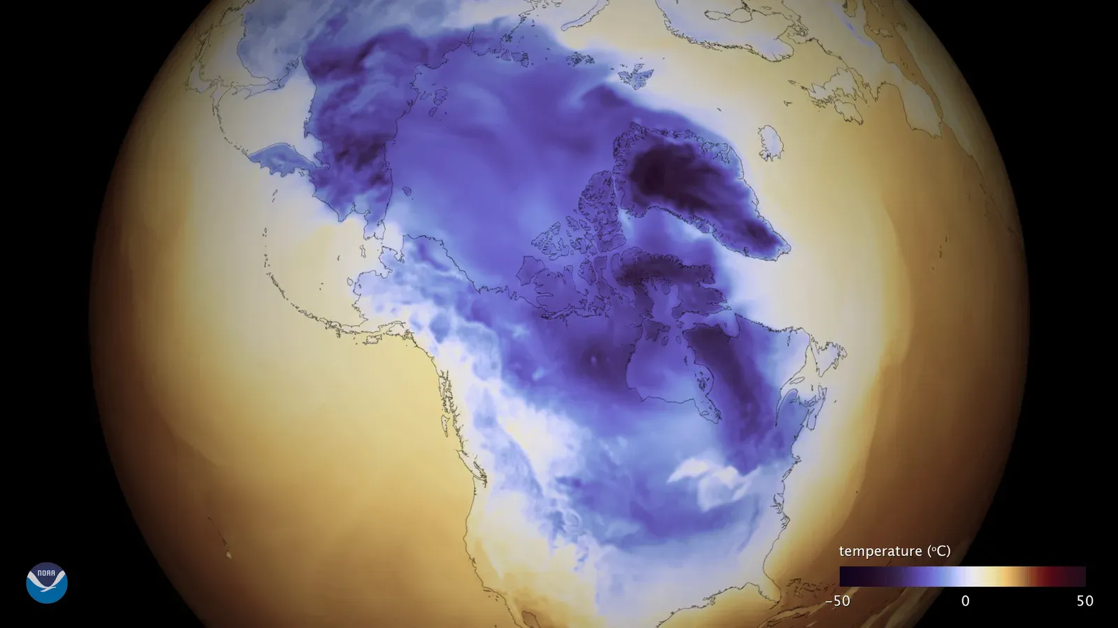
South of the border, the pattern translated into repeated rounds of Arctic intrusion rather than a single memorable storm. By mid-February 2026, forecasters noted this had become a defining feature of the season. According to the Associated Press, one particular blast marked the tenth time that winter the polar vortex had dropped into the U.S., delivering another wave of brutally frigid weather.
The scale of the cold was striking even by winter standards. With the exception of Hawaii, California, and Florida, every U.S. state was forecast to experience wind chills of 20 degrees or below, with wind chills reaching 40 below zero or lower in the Northern Plains. Regions from the Rockies to the Atlantic coast dealt with repeated freeze events rather than isolated cold spells.
The UK and parts of Europe face their coldest stretch in over a decade
The Atlantic did little to shield Europe from the disrupted circulation. Forecasts pointed toward an unusually severe stretch for the British Isles specifically. In the UK, January and February 2026 were predicted to be the coldest months in over a decade, with Scotland and Northern England facing the highest risk of extreme lows reaching negative 10 to negative 15 degrees Celsius.
Western Europe more broadly was flagged for a secondary wave of cold arriving in early February. A secondary wave, sometimes called a February Freeze, was expected to hit the Eastern US and Western Europe simultaneously, underscoring how a single stratospheric event can ripple across two continents at once rather than staying confined to one region.
Arctic sea ice loss is quietly reinforcing the pattern
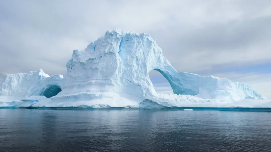
Beyond the atmospheric mechanics, there is a slower-moving but equally important factor at play: the state of the sea ice itself. The Barents-Kara region has shown the strongest melt anomalies and sea-ice deficit among Arctic regions being monitored. That matters because ice loss and vortex behavior are linked in ways researchers have spent years documenting.
The relationship runs in a fairly consistent direction. In low ice years, the polar vortex tends to be weaker in the stratosphere, with higher pressure and temperature. As Arctic ice continues its long term decline, this dynamic gives the atmosphere one more nudge toward instability each winter, layering on top of whatever ENSO phase happens to be active at the time.
A building El Niño adds a new wrinkle for winter 2026 to 2027
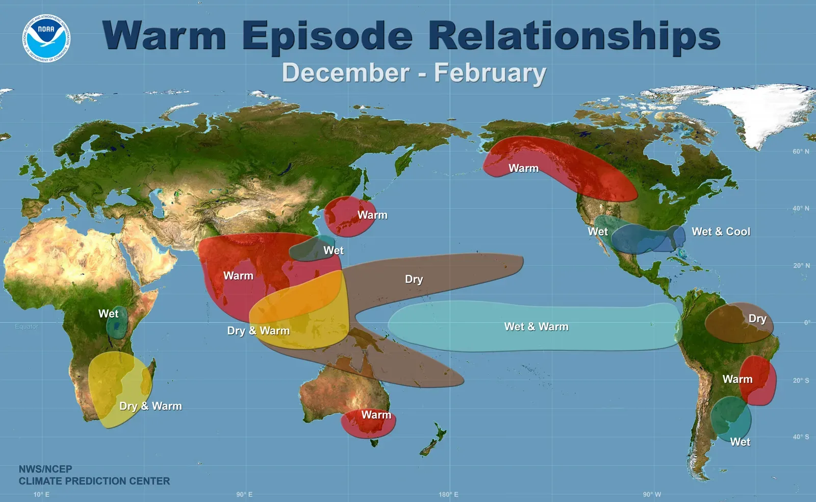
Just as the 2025 to 2026 winter wound down, attention turned to an even bigger signal building in the tropical Pacific. By August 2026, the outlook had shifted dramatically from the weak La Niña of the previous winter. NOAA’s August outlook showed over 90 percent odds of a very strong El Niño, with a 69 percent chance of the strongest event since 1950.
This represents an unusually fast flip in ocean conditions. The Pacific moved from a weak La Niña to a strong El Niño in about six months, which is a rapid transition by historical standards. Combined with the same low Arctic sea ice trends seen the previous year, some forecasters see the ingredients for another disrupted vortex season, even though El Niño and La Niña typically push winter patterns in different directions.
Researchers are working on longer lead times for these forecasts
One of the more encouraging developments to emerge from this stretch of turbulent winters is progress on prediction itself. A study published in the Journal of Geophysical Research in 2026 introduced a new approach to forecasting vortex behavior months in advance rather than days. Current stratospheric polar vortex forecasts rely on real-time data, and by turning to the past to accurately predict the future, the new research suggests that unusual or extreme weather events are less random than scientists previously believed.
The practical upside is straightforward. A large portion of subseasonal to seasonal variability is not random but embedded in the annual evolution of the climate system, according to co-author Ming Cai, a professor in the Department of Earth, Ocean and Atmospheric Science. If that method continues to prove reliable, households, farmers, and emergency planners could eventually get weeks or even months of extra warning before the next disruption arrives, rather than scrambling once the cold air is already on the move.
What this means for households watching the months ahead
The pattern that emerged in late 2025 was not a one-off oddity. It reflected a combination of tropical ocean temperatures, upper atmosphere dynamics, and declining Arctic ice that forecasters now watch closely every autumn. With a historically strong El Niño building for the 2026 to 2027 season and sea ice trends showing no sign of reversing, the conditions that allowed the vortex to weaken early last year have not gone away.
For most people, the practical takeaway is simple. Arctic outbreaks are arriving earlier and lingering longer than the seasonal norms many grew up with, and the regions most exposed, the northern and central United States, southern Canada, and the British Isles, should expect that pattern to keep repeating until the underlying signals change.

- 7 U.S. Cities Quietly Becoming Unaffordable While Nobody Was Watching - August 30, 2026
- Meet the Region Where America’s Next Major Drought Could Develop - August 30, 2026
- Why the Next Arctic Blast Is Expected Sooner Than Usual – And Where It Will Hit Hardest - August 30, 2026
