


1. Is there an active fault running underneath
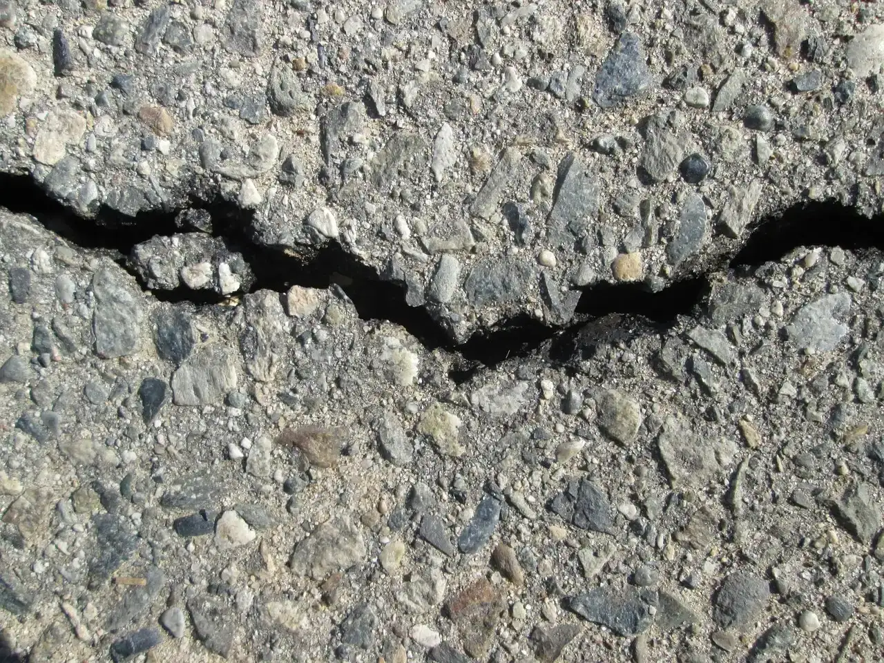
The first and most basic question is whether a known active fault passes directly beneath or near the built-up area. In California, this isn’t just an academic concern, it’s codified in law. Alquist-Priolo earthquake fault zones are regulatory zones surrounding the surface traces of active faults, and wherever an active fault exists with the potential for surface rupture, a structure for human occupancy cannot be placed over the fault and must be a minimum distance from the fault, generally fifty feet.
The definition of “active” matters a lot here. An active fault, for the purposes of the Alquist-Priolo Act, is one that has ruptured in the last 11,000 years. That threshold, tied to the Holocene epoch, exists because faults that haven’t moved in tens of thousands of years are considered far less likely to rupture again soon. The law came out of hard experience. California created this law following the destructive 1971 San Fernando earthquake, magnitude 6.6, which was associated with extensive surface fault ruptures that damaged numerous structures. Geologists dig trenches, date soil layers, and trace fault scarps across the landscape to figure out exactly where these zones start and stop.
2. What kind of soil sits under the foundations
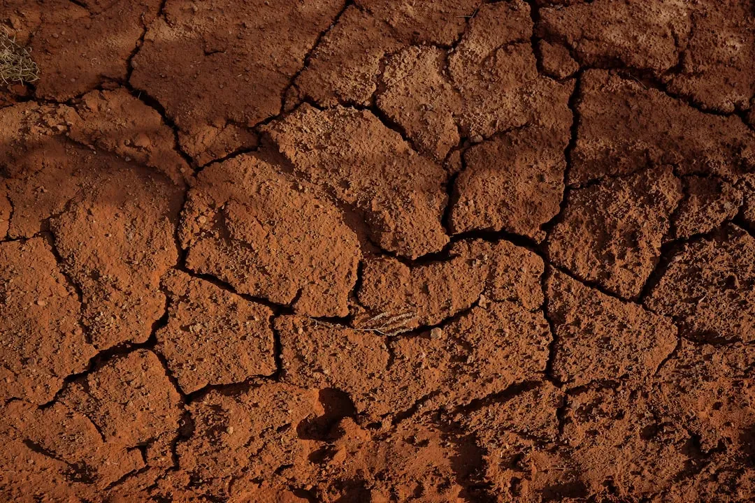
Not all ground shakes the same way during an earthquake. Soft, loose material amplifies seismic waves far more than dense rock does, and that difference can decide whether a building cracks or stands. Loose, less compacted soils, such as sand or clay, tend to amplify seismic waves more than stiffer, more compacted materials, and soils with lower stiffness are more prone to significant deformation under seismic shaking.
To quantify this, geologists rely on a measurement called Vs30, essentially a snapshot of how fast shear waves travel through the top layer of ground. The average shear-wave velocity of the top 30 meters of soil, Vs30, is one of the most commonly used parameters to characterize site conditions. Real-world disasters have proven the point vividly. In one documented earthquake, almost half of a city located on sloping hills where the ground consisted of hard limestone suffered practically no damage, while the lower basin with soft soil saw severe destruction. That kind of contrast, block by block, is exactly what soil mapping tries to capture before disaster strikes rather than after.
3. Could the ground turn to liquid during shaking
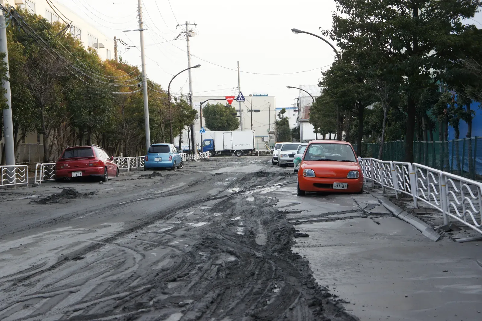
Liquefaction sounds abstract until you picture what actually happens. Saturated, loose soil essentially loses its strength during intense shaking and starts behaving like a liquid, swallowing foundations and buckling roads. The highest hazard areas shown by liquefaction hazard maps are concentrated in regions of man-made landfill, especially fill placed decades ago in areas that were once submerged bay floor.
San Francisco is a textbook case, partly because so much of its waterfront was built on reclaimed land. Roughly one quarter of the San Francisco Bay region may be exposed to liquefaction, with areas mapped in the very high, high, and moderate categories making up about that share of the nine county region. Geologists identify these zones using a mix of drilling, penetration testing, and historical maps showing where land was once open water or marsh. Liquefaction susceptibility is generally highest in places where the soil is less consolidated or more highly saturated, such as reclaimed land or river valleys, which is why waterfront neighborhoods so often draw extra scrutiny.
4. Are the slopes stable enough to hold what’s built on them
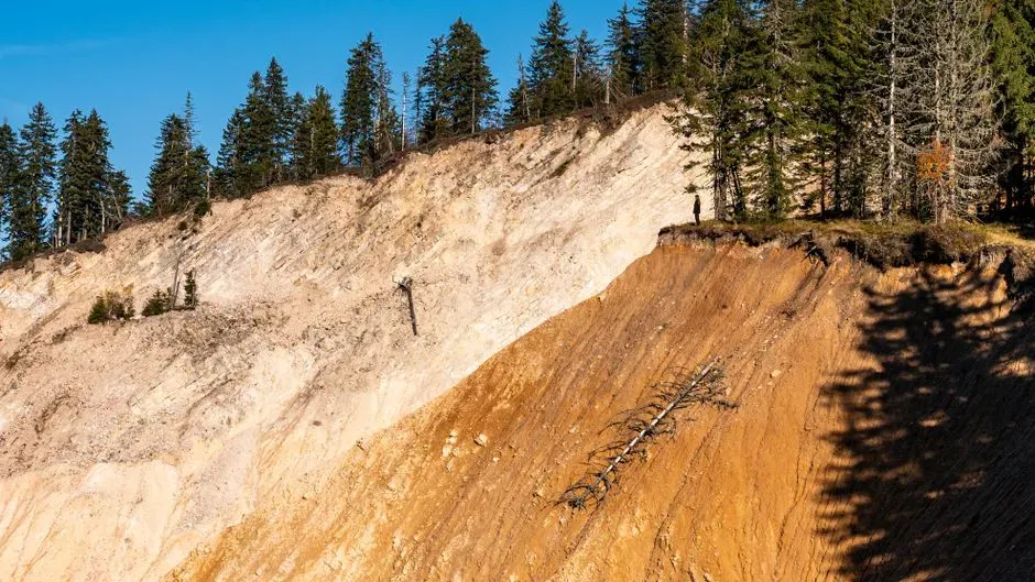
Cities built across hills carry a different kind of risk. Slopes that look solid on a sunny day can fail catastrophically once heavy rain or strong shaking loosens the material holding them together. This is exactly why California’s seismic safety framework doesn’t stop at faults and liquefaction.
The Seismic Hazards Mapping Act addresses other earthquake hazards, including liquefaction, landslides, amplified ground shaking, and inundation by tsunami or seiche, treating slope failure as its own distinct category worth mapping separately. Geologists studying landslide risk look at slope angle, the type of bedrock underneath, historical slide scars, and how saturated the ground gets during wet seasons. A hillside that has slipped before, even slightly, tends to be flagged as a long-term concern rather than dismissed as a one-time event.
5. Has the ground itself been sinking, shifting, or settling over time
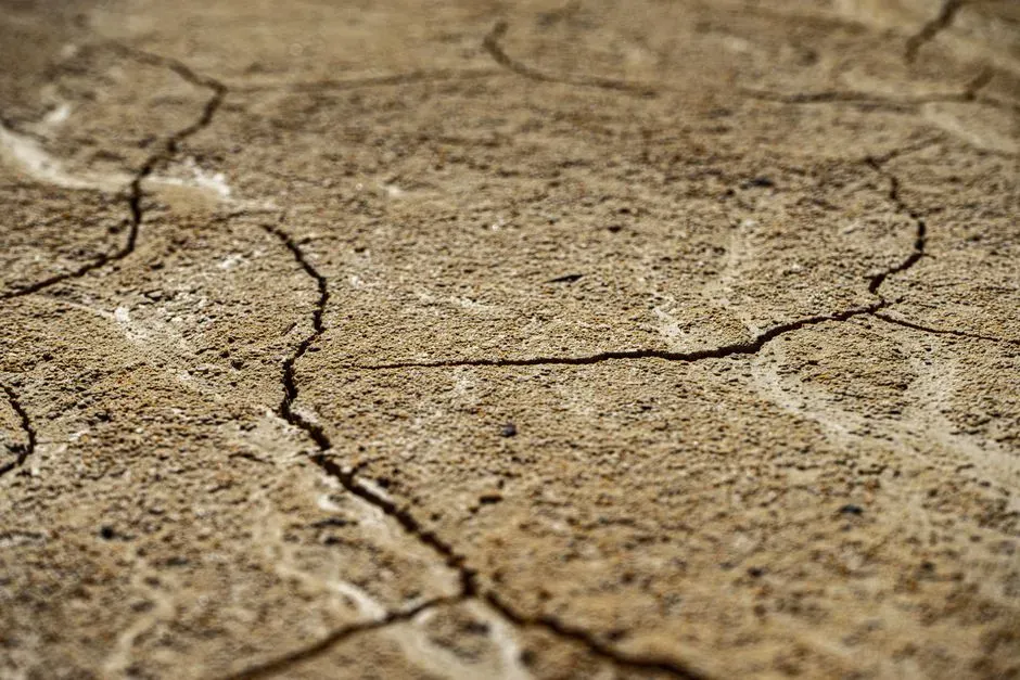
The final check isn’t about a single dramatic event but about slow, cumulative change. Some cities sit on ground that compacts gradually as groundwater is pumped out, or on old fill that continues to settle unevenly for decades after construction. This kind of movement rarely makes headlines the way an earthquake does, yet it steadily stresses foundations, pipelines, and roadways.
Geologists track this through repeated surveys, satellite radar measurements, and long-term monitoring wells that record how far and how fast the ground has dropped. Areas built on artificial fill or drained wetlands are watched especially closely, since their settlement patterns tend to be uneven rather than uniform across a neighborhood. When combined with the other four checks, this long-term ground behavior often reveals which specific blocks within a city, not the city as a whole, carry the highest cumulative risk.
The Ground Truth
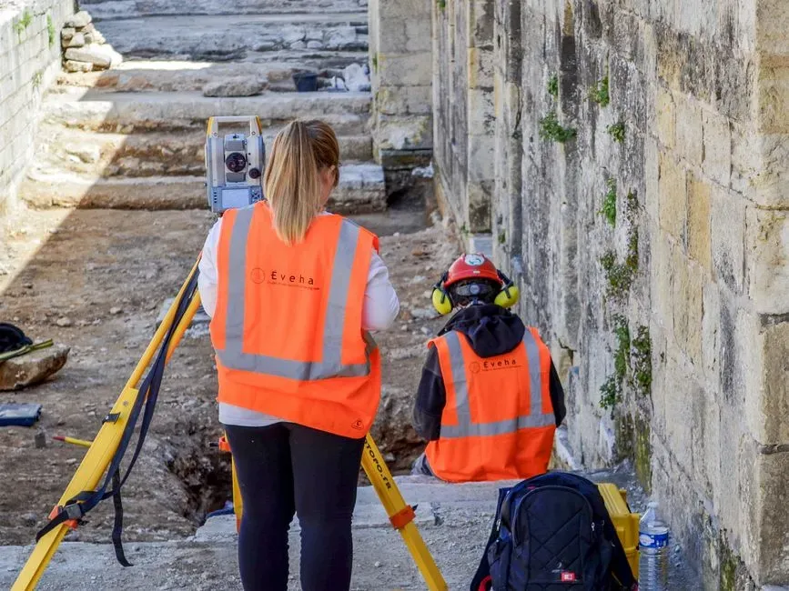
No single item on this checklist tells the whole story on its own. A fault trace without loose soil nearby is a different problem than the same fault running through reclaimed land prone to liquefaction. That’s why geologists layer these five factors together rather than treating any one of them as a final verdict.
For residents, the practical takeaway is simple enough. Hazard maps for faults, liquefaction, and landslide zones are public records in most seismically active regions, and checking them before buying property or evaluating a neighborhood costs nothing but a little time.
