


The region everyone assumes is driest
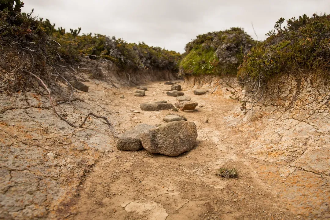
For decades, the mental map of American drought has centered on the Southwest and the interior West. Nevada, Arizona, and California dominate the headlines, and for good reason, since reservoirs like Lake Mead have spent years near record lows. That reputation is earned, and it’s not disappearing anytime soon.
But reputation and current trajectory aren’t the same thing. The Southern Plains and the Southwest US have been experiencing an extended drought over six years now, so conditions there, while severe, are compounding an already familiar problem. The real story of rapid change in 2025 and 2026 was happening somewhere most forecasters weren’t watching as closely.
A humid region turns unexpectedly dry
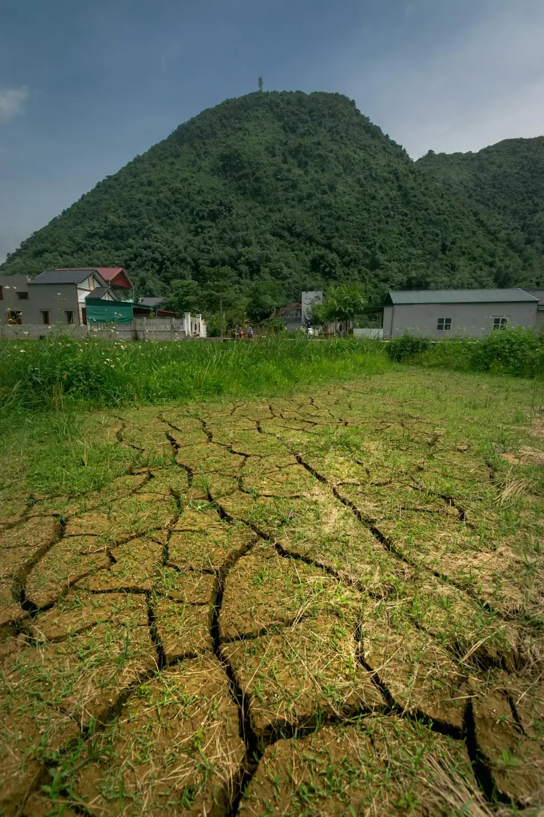
The Southeast is not a place associated with water scarcity. It’s the region of kudzu, swamps, and afternoon thunderstorms, not drought monitors. Yet that’s precisely where the numbers took the sharpest turn.
The Southeast, usually a humid region, found itself facing a record drought, with Georgia, North Carolina, and South Carolina all posting their driest September-through-March stretch since 1895. That’s not a modern record with a short baseline. That’s a 130 year comparison, and it came out on the dry side.
Georgia, the Carolinas, and a 1895 benchmark
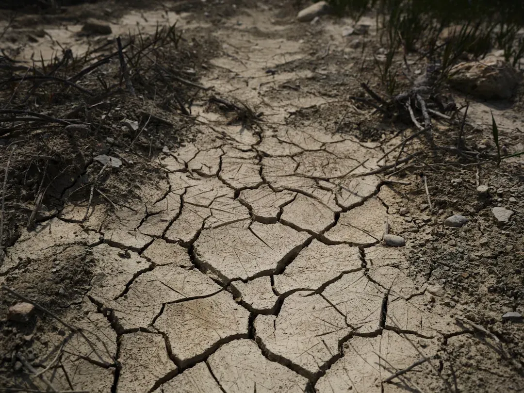
The specifics matter here because they show just how unusual this stretch was. Georgia, North Carolina, and South Carolina experienced record dry conditions for September 2025 through March 2026, with records dating back to 1895, while the same period was the second driest for Alabama, third driest for Florida, ninth driest for Tennessee, and tenth driest for Virginia.
Rainfall deficits piled up fast. Since the beginning of the year, most of the Southeast received rainfall 4.00 to 8.00 inches below normal. By April, the picture had gotten even more extreme, with moderate to exceptional drought covering nearly all of the region at its peak, and severe to exceptional drought covering more than 80 percent, the highest level in April since the monitor began collecting data in 2000.
Why a wet climate can dry out this quickly
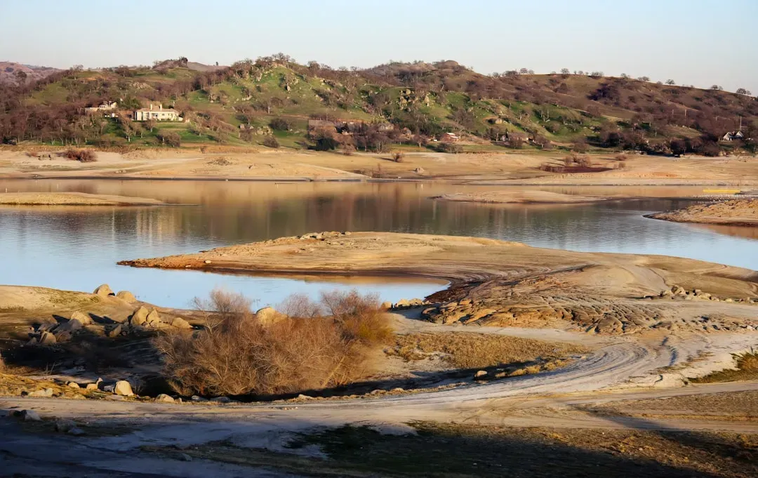
The Southeast’s vulnerability comes down to timing. Winter is normally the season when the region rebuilds its water reserves, not just for show but for the months ahead. Typically, December through March is when the Southeast recharges its water resources, including soils, streamflows, and groundwater, but the persistent, long-term dryness didn’t allow that recharge to happen, so the region entered its warm season with less stored water than normal.
That’s the quiet mechanism behind the surprise. A region built around abundant rainfall has less built-in resilience when the rain simply doesn’t show up, because its infrastructure and ecosystems aren’t designed to buffer long dry spells the way arid regions sometimes are. Once the seasonal recharge fails, there’s no cushion left for summer.
The Plains added a second, faster shock
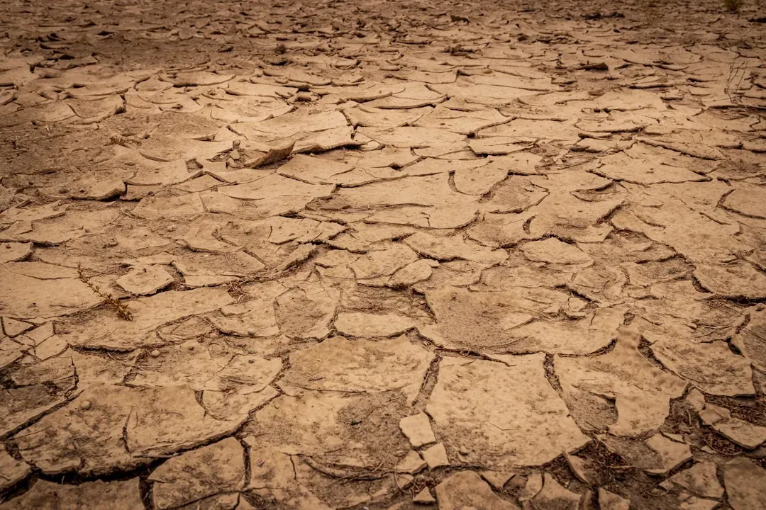
While the Southeast was breaking rainfall records, a separate and much faster deterioration was unfolding across the northern and central Plains. This wasn’t a slow multi-year story. It was a switch that flipped within a single year.
Nebraska went from 0% of its area in extreme drought as of June 2025 to 50% as of June 16, 2026, while Wyoming jumped from 0% to 41% over the same period, and Oklahoma and Colorado each saw increases of 30 percentage points. Forecasters describe this kind of jump as historically rare, and it adds a second front to a national drought map that was already unusually crowded.
Groundwater tells a story the surface can’t
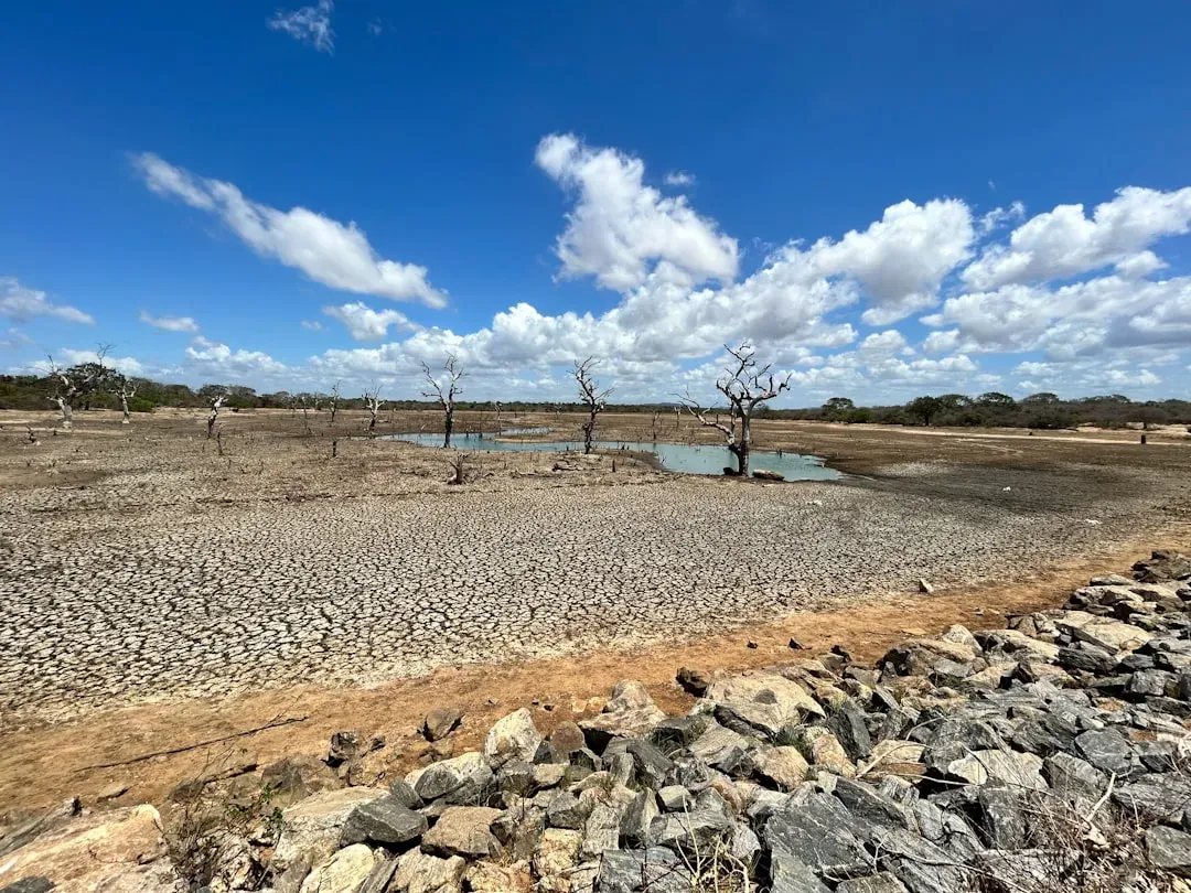
Rainfall totals get most of the attention, but groundwater is where drought damage tends to linger longest. Satellite data has picked up on stress well below the surface in areas that look fine on a simple rainfall map. Shallow groundwater aquifers were driest in northern and central Florida, based on GRACE-FO satellite observations acquired on March 30, 2026.
Local monitoring stations echoed the same trend elsewhere. In parts of the eastern US, groundwater levels were on a steady decline through the spring of 2026, dropping several feet over just eight weeks and coming in well below the previous year’s maximum. Groundwater doesn’t recover on the same schedule as rainfall. Even after a wet month or two, aquifers can stay depleted for a season or longer.
Fire risk followed the dryness east
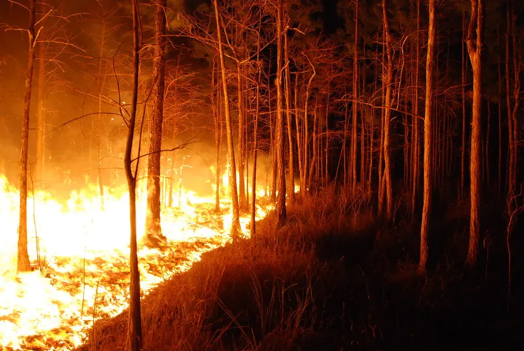
Wildfire has traditionally been framed as a western problem, tied to dry brush in California or the interior mountain states. That framing is shifting too, at least temporarily, as dryness spreads into places with far more vegetation and far less fire infrastructure. Nearly all of the Southeast fell into drought, with a large share in severe to exceptional conditions, and the region experienced an outbreak of spring wildfires, with fire outlooks signaling high risk through at least July.
Florida’s numbers were especially stark. Drought conditions in Florida were especially dire, with nearly 82 percent of the state in extreme or exceptional drought. Dense, humid forests that rarely see fire danger warnings suddenly needed them, a reminder that fire risk tracks moisture deficits, not regional stereotypes.
The flash drought factor behind the speed
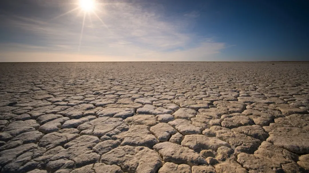
Part of what made this year’s shift so disorienting is how fast it happened. Meteorologists have a specific term for this kind of rapid onset. Flash drought is the rapid onset or intensification of drought, occurring when low precipitation is accompanied by abnormally high temperatures, high winds, or changes in radiation, unlike slow-evolving drought caused simply by a decline in precipitation.
Research on this phenomenon points to a broader trend, not just a one off event. Flash drought risk over cropland is expected to increase globally, with the largest increases projected across North America in the most extreme emissions scenario. That’s a long term projection rather than a single season’s headline, but it lines up uncomfortably well with what just happened across the Southeast and Plains.
What the numbers say about where things stand now
By midsummer 2026, the national picture had shifted again, though not necessarily for the better everywhere. Drought worsened for the third straight week in large parts of the Northern Plains and Upper Midwest, while as of July 28, 2026, roughly 40 percent of the United States and Puerto Rico and nearly 48 percent of the Lower 48 states remained in drought.
The Southeast did see some relief arrive by early summer. A wetter pattern arrived in May, providing much of the region well-above-normal rainfall, with portions of Alabama, Florida, Georgia, and South Carolina receiving over 175 percent of normal precipitation for the month. Even so, recovery wasn’t uniform, and pockets of long-term deficit lingered even after the rain returned.
