


- 6 Old-School Reuse Tricks Every Grandpa Knows That Still Make Perfect Sense - September 6, 2026
- 8 Things You Should Never Do While Stargazing if You Want the Best View - September 6, 2026
- If Your Grandmother Grew Up Reusing Everything, You’ll Recognize These 8 Habits - September 5, 2026
Winter snowfall patterns across the United States have shifted noticeably in recent decades, influenced by rising temperatures and changing precipitation dynamics. Many regions now experience less consistent snow cover, while others see occasional heavy events amid overall variability. These changes affect everything from water supplies to winter recreation and local ecosystems.
Long-term observations highlight how some states stand out for the scale of their shifts. Data from monitoring stations show declines in total snowfall in warmer southern and western areas, with mixed signals farther north. Understanding these trends helps communities prepare for evolving conditions.
California
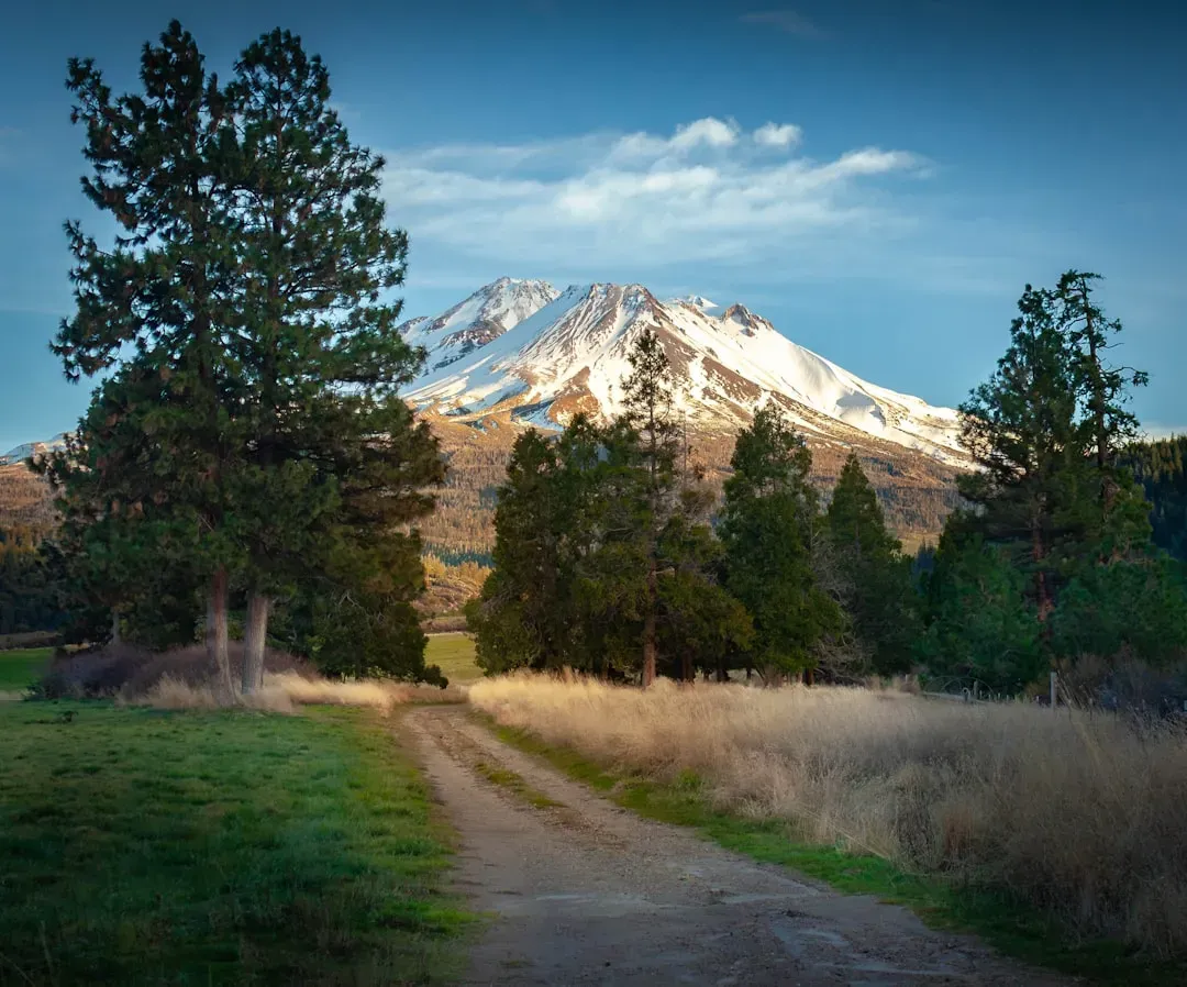
California has recorded some of the most pronounced reductions in mountain snowfall over the past several decades. Warmer winters mean more precipitation falls as rain at lower elevations, reducing snowpack that feeds rivers and reservoirs during dry months. Recent seasons have brought repeated warnings about below-average accumulation in key watersheds.
Statewide analyses point to fewer days with measurable snow in many locations compared to mid-20th century baselines. Ski resorts and agricultural interests both feel the effects when snow levels drop. Observers note that even strong storm years often fail to fully offset the longer-term warming trend.
Colorado
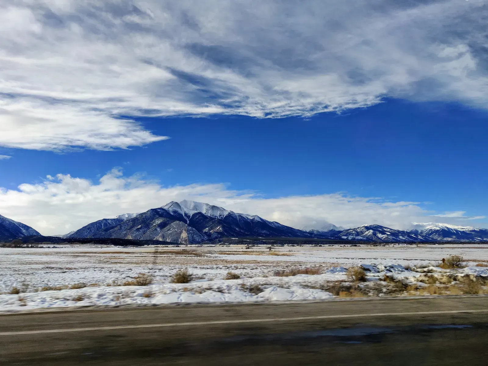
Colorado’s high-elevation snowpack has shown clear sensitivity to temperature increases, with several recent winters ranking among the lowest on record for certain basins. Much of the precipitation that once built deep snow now arrives as rain or melts quickly after falling. This pattern influences everything from spring runoff timing to wildfire risk later in the year.
Monitoring networks across the Rockies document shorter snow seasons in many spots. While individual storms can still deliver impressive totals, the overall reliability of winter accumulation has declined. Water managers track these changes closely because they affect millions of downstream users.
Washington
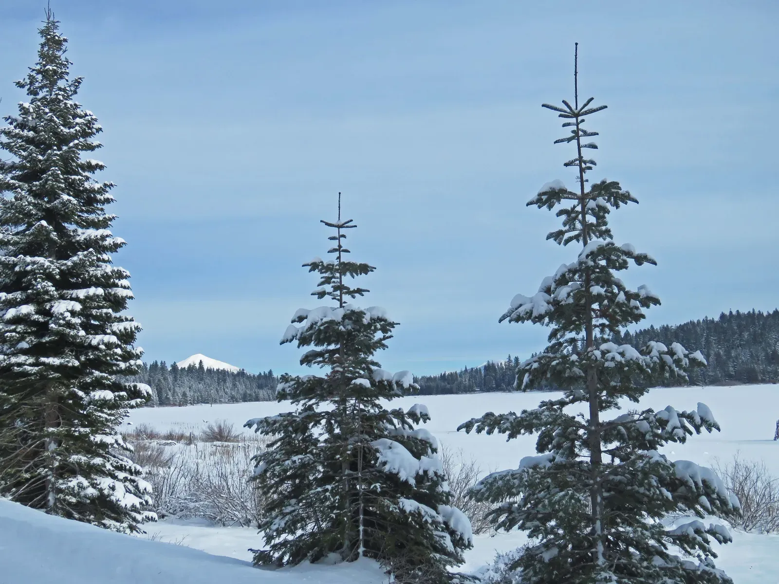
Washington state, particularly in the Cascade Range, has experienced measurable declines in total seasonal snowfall at many stations. The Pacific Northwest’s warming climate shifts the snow line higher, leaving lower slopes with more rain events during what used to be peak snow months. This affects both natural water storage and popular winter sports areas.
Long-term records reveal that the proportion of precipitation falling as snow has decreased steadily. Heavy atmospheric river events sometimes bring mixed results, with rain dominating at mid-elevations. Communities that rely on snowmelt for summer water supplies continue to adapt their planning.
Oregon
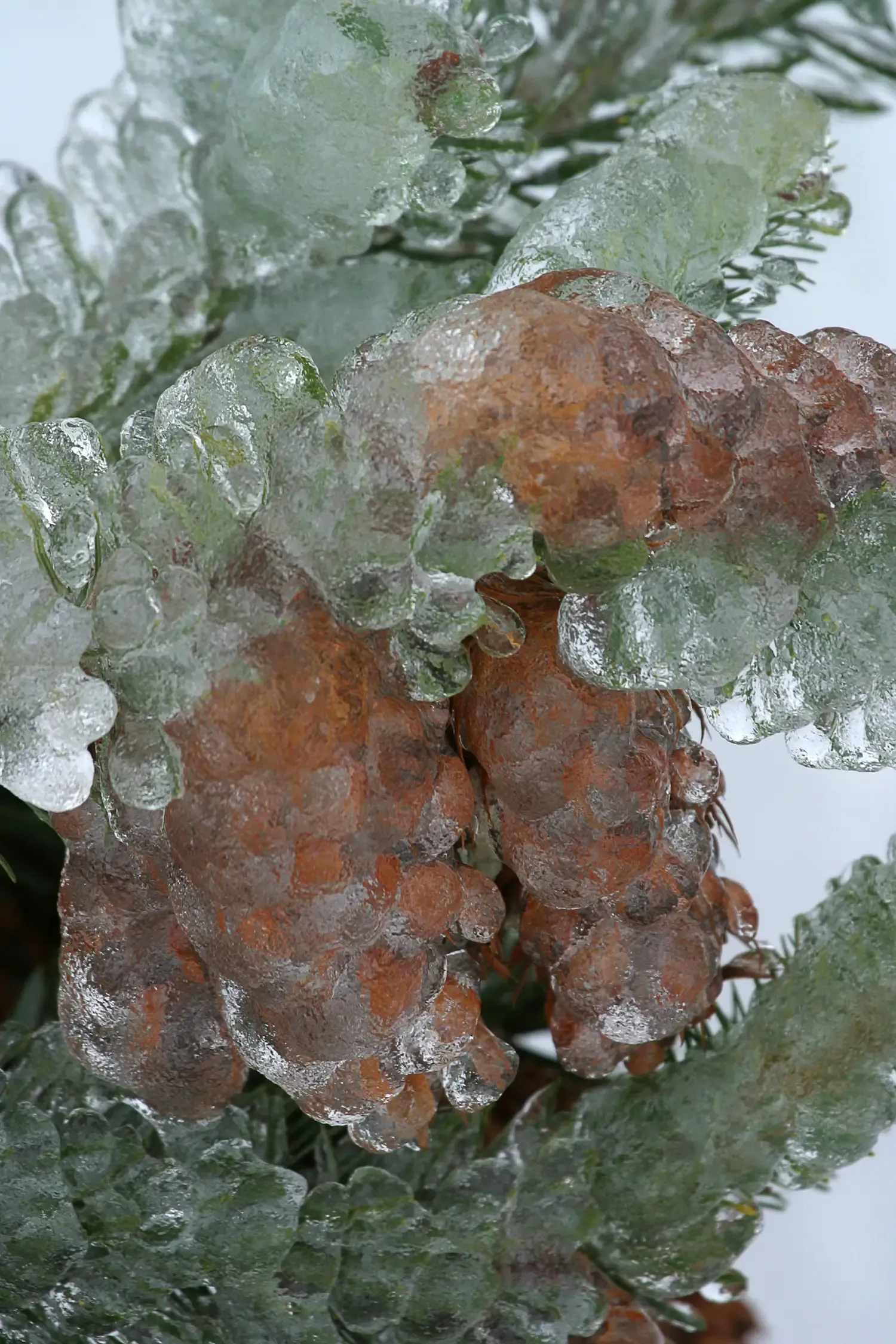
Oregon mirrors broader western trends with reduced snowfall totals at many lower and mid-elevation sites. Warmer average temperatures during the core winter months convert what might have been snow into rain more frequently. This shift alters streamflow patterns and challenges traditional expectations for winter recreation.
Forest and watershed managers observe earlier snowmelt and shorter periods of continuous cover. While higher peaks still accumulate substantial snow in strong years, the consistency across the state has changed. These patterns align with regional climate observations spanning multiple decades.
Utah
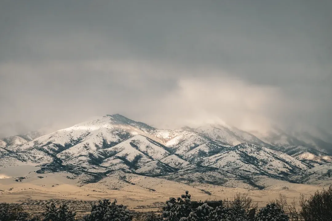
Utah’s Wasatch and other mountain ranges have seen notable variability and overall declines in reliable snow accumulation in recent years. Temperature-driven changes mean more precipitation arrives above freezing at critical elevations. Ski areas and municipal water systems both monitor these developments with interest.
State snow surveys show that some basins have experienced multiple seasons with below-normal snow water equivalent. The state’s famous powder often depends on specific storm tracks that have become less predictable. Adaptation efforts focus on efficiency and alternative storage strategies.
Michigan
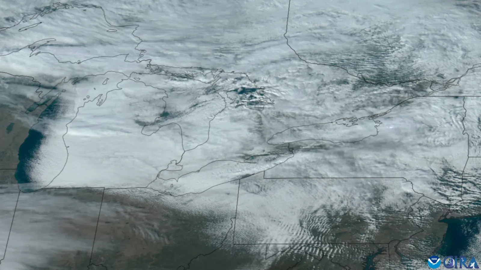
Michigan presents a more mixed picture, with some areas near the Great Lakes recording occasional increases in lake-effect snowfall even as broader warming occurs. Colder air masses interacting with warmer lake waters can generate intense localized bands. Yet overall season length has shortened in many parts of the state.
Long-term station data indicate that while heavy events remain possible, the number of days with snow on the ground has trended downward. Southern portions of Michigan tend to show clearer reductions compared to the Upper Peninsula. Residents notice the changes in both winter activities and spring flooding risks.
New York
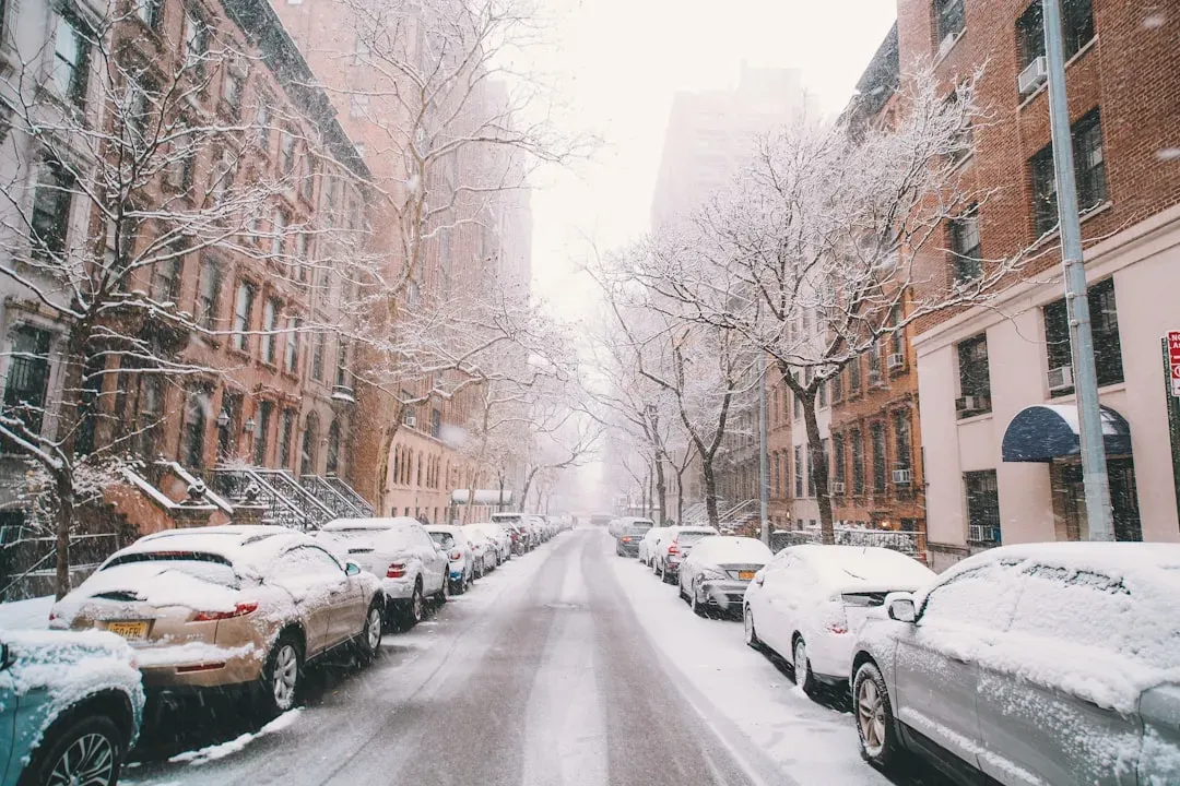
New York has experienced variable snowfall trends, with parts of the state seeing heavier individual storms alongside shorter overall seasons. Lake-effect influences from the Great Lakes contribute to localized increases in some northern and western counties. Meanwhile, southern and coastal areas often record net declines.
Climate analyses note that winter precipitation increasingly falls as rain or mixed forms in many locations. Historic snow totals still occur during strong nor’easters, yet the baseline has shifted. These patterns influence everything from school closures to infrastructure maintenance budgets.
Looking Ahead
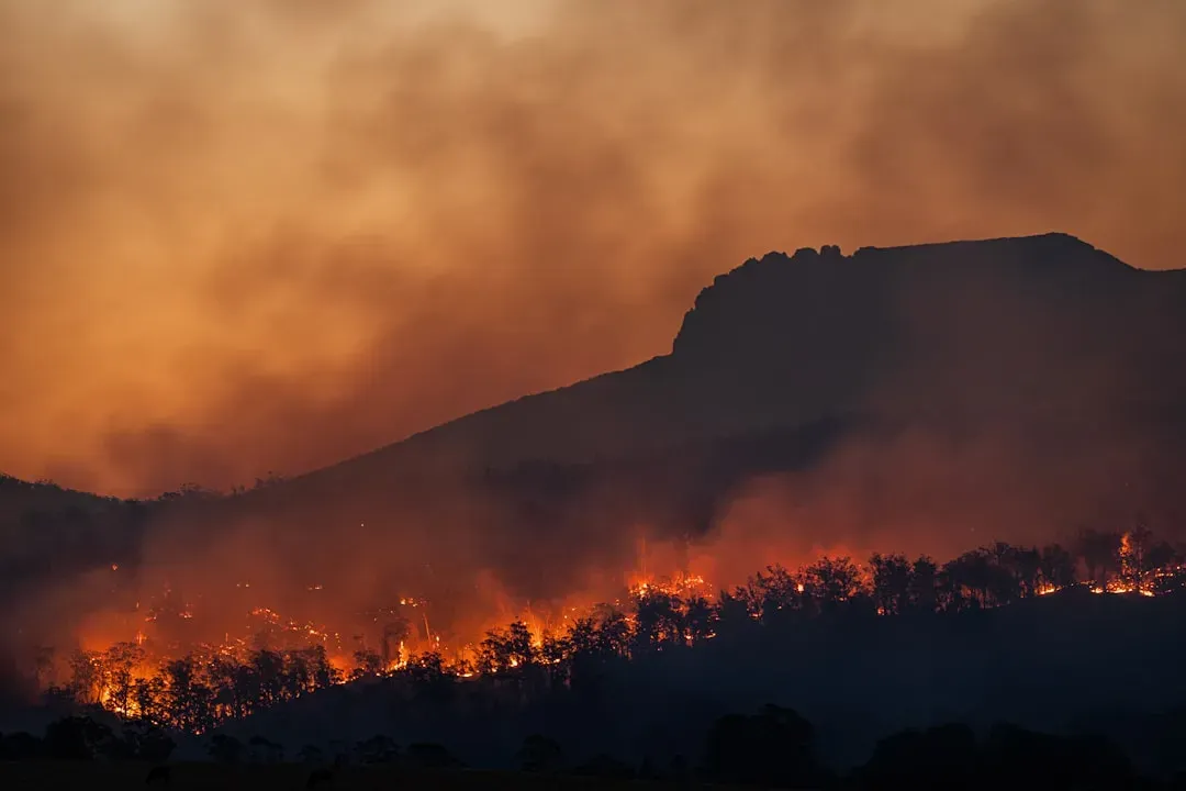
Across these states, the common thread remains a warming climate that alters the balance between snow and rain. Communities continue to adjust infrastructure, water management, and recreational offerings in response. Ongoing monitoring provides the clearest picture of how these shifts evolve year to year.
Ultimately, winter landscapes will keep changing, reminding us that adaptation and careful observation remain essential. The snow we count on today may look different tomorrow, yet its importance endures.
