
Why cold water and warm air collide along this coast

Fog forms when the air holds so much moisture that it can’t stay invisible anymore, and coastal Maine happens to have the exact recipe for that on a near constant basis. Meteorologist Mike Clair of the National Weather Service in Gray has explained that fog is saturated air, and when the dew point and the air temperature are the same, you often have fog, a pattern he’s tracked using satellite imagery showing how Massachusetts and Nova Scotia’s coasts could be clear while Maine’s coast was socked in fog.
That single detail matters more than it seems. It means the fog isn’t a general New England thing spread evenly across the region. It’s concentrated, almost stubbornly, over one particular stretch of Atlantic coastline.
The three American fog hot spots, and Maine’s place among them
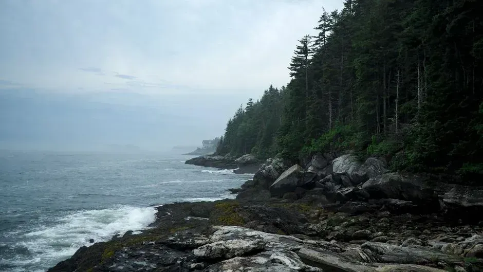
Fog research generally sorts the country into a handful of high frequency zones, and coastal Maine consistently makes the short list. According to the Island Institute, Maine is one of three fog hot spots in the United States and one of three regions in the world that see daytime fog in the summer, alongside the Pacific Northwest and the Southern Appalachians.
Being named alongside places like the misty redwood coast of California says something about the scale of the phenomenon. Boston sits in the same broad region, but it isn’t part of that short list. The distinction really does come down to geography and water temperature rather than simple proximity to the ocean.
Portland’s official fog numbers, and what they actually show
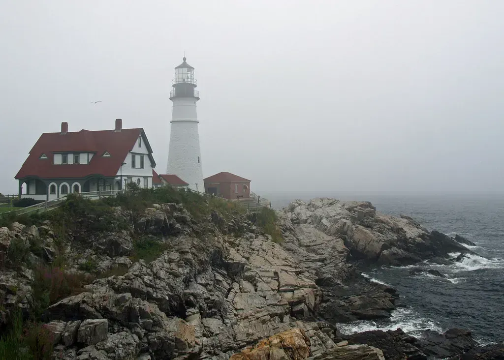
Portland, Maine keeps some of the most detailed fog records in New England, thanks to a National Weather Service climate station with data reaching back to 1871. The numbers there are striking on their own. According to the official climate book for Portland, the city’s 30 year normal is 28 days per year with dense fog, defined as visibility of one quarter mile or less, with a record high of 63 such days set in 1976 and a record low of just 11 days in 2016.
That range between 11 and 63 days shows how variable a single fog season can be. Even in a lighter year, though, Portland still logs more dense fog than most inland New England cities see in a decade. Fall and early winter tend to bring the heaviest stretches, based on the same monthly breakdown kept by the weather service.
Why Boston Harbor doesn’t come close
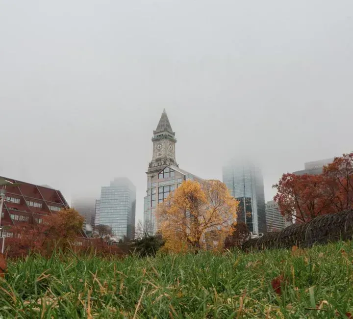
Boston is a coastal city, and it does get its share of misty mornings, particularly in late fall when cold fronts push through. Still, the underlying physics work against it in a way they don’t for Maine. Southern New England’s coastal waters run warmer for more of the year, which removes the sharp temperature contrast that fog depends on.
The satellite comparisons meteorologists have studied back this up directly, showing Massachusetts skies clearing while Maine remained blanketed. It’s not that Boston lacks fog altogether. It’s that the ingredients simply aren’t stacked as consistently in its favor as they are a few hours up the coast.
The Downeast fog belt, from Eastport and beyond
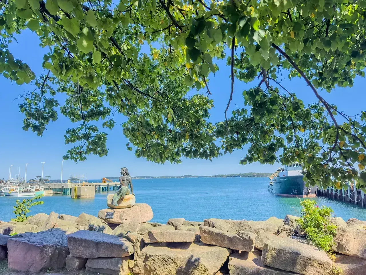
Head east past Bar Harbor and the fog only intensifies. Locals in the Midcoast region have long noted that the fog gets worse the farther Downeast you travel, and one Maine based writer described how even within Maine, the Midcoast and Downeast areas experience the most fog, a mix of ocean temperatures, currents, tides, and elevations along the coastline.
Eastport, the easternmost city in the continental United States, sits right in the middle of that belt. Climate summaries note that Eastport features a temperate maritime climate moderated by the cold waters of the Gulf of Maine, with fog forming frequently from the interaction of cool coastal currents and warmer continental air. Residents there simply plan around it, the way people elsewhere plan around rain.
Whitehead Island and the eighty day benchmark
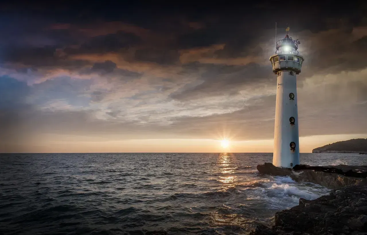
Not far from the mainland, tiny Whitehead Island offers one of the clearest published fog statistics in the entire region. Wikipedia’s entry on the island, drawing from regional climate records, notes that it is one of the foggiest places on the Maine coast, averaging 80 days of fog a year.
Eighty days is more than two and a half months spent, in some form, inside a cloud. For an island with a small historic lighthouse and a former lifesaving station, that kind of exposure has shaped daily life for generations of keepers and residents. It’s also a useful reference point when comparing Maine’s numbers to anywhere else in New England.
Moose Peak Lighthouse and a historic fog record
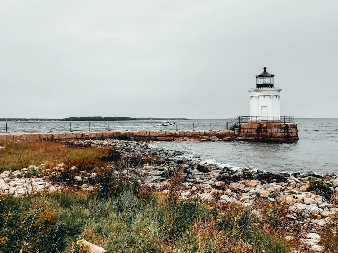
If Portland represents the modern, measured version of Maine’s fog problem, Moose Peak Lighthouse on Mistake Island represents its legendary extreme. The keepers stationed there in the early twentieth century kept meticulous logs, and the results made headlines at the time. As the Farmers Almanac recounts, in early 1931 it was announced that Moose Peak Lighthouse had just completed another year as the foggiest spot in the United States, with keepers reporting 1,562 hours of fog during 1930, an average of roughly four hours each day.
Those keepers are long gone, and the station now only draws boaters and curious tourists. Even so, the historical record it left behind remains one of the most cited fog benchmarks on the entire Atlantic seaboard, and it reinforces just how far this region stands apart from the rest of New England.
Tides, currents and the physics that keep the fog coming
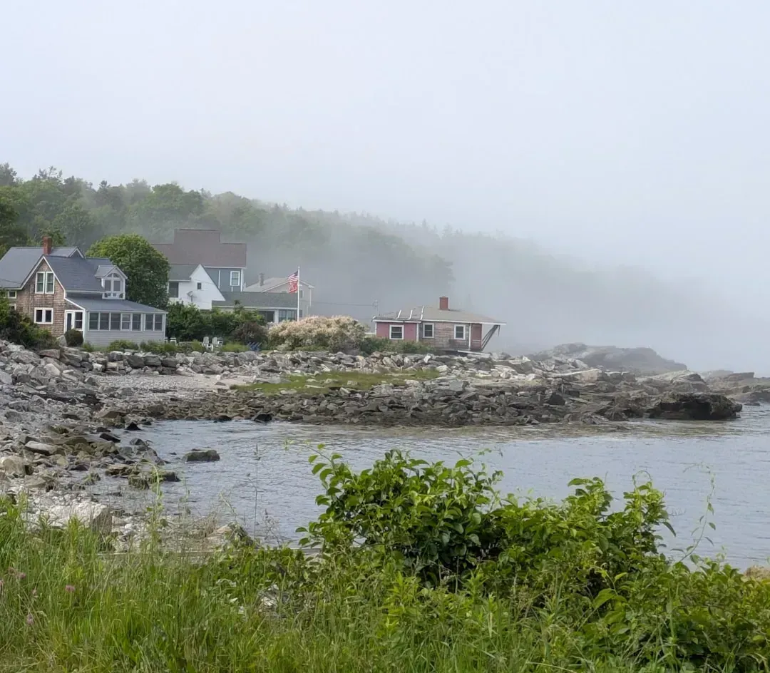
Maine’s fog isn’t random weather noise. It’s the direct product of the state’s ocean currents and its unusually large tidal swings. The Island Institute has detailed how dynamic ocean currents in the Gulf of Maine, including the Nova Scotia, Eastern Maine Coastal, and Western Maine Coastal currents, mix warmer and cooler waters, and tides ranging from 10 to 22 feet also bring colder water to the surface, hastening condensation.
That tidal detail is easy to overlook but genuinely important. Even during a warm summer week, Maine’s tides keep dragging up colder water from below, resetting the temperature contrast that produces fog day after day. It’s a self renewing system in a way that flatter, less tidal coastlines simply don’t have.
Fog across the seasons, and when it’s worst
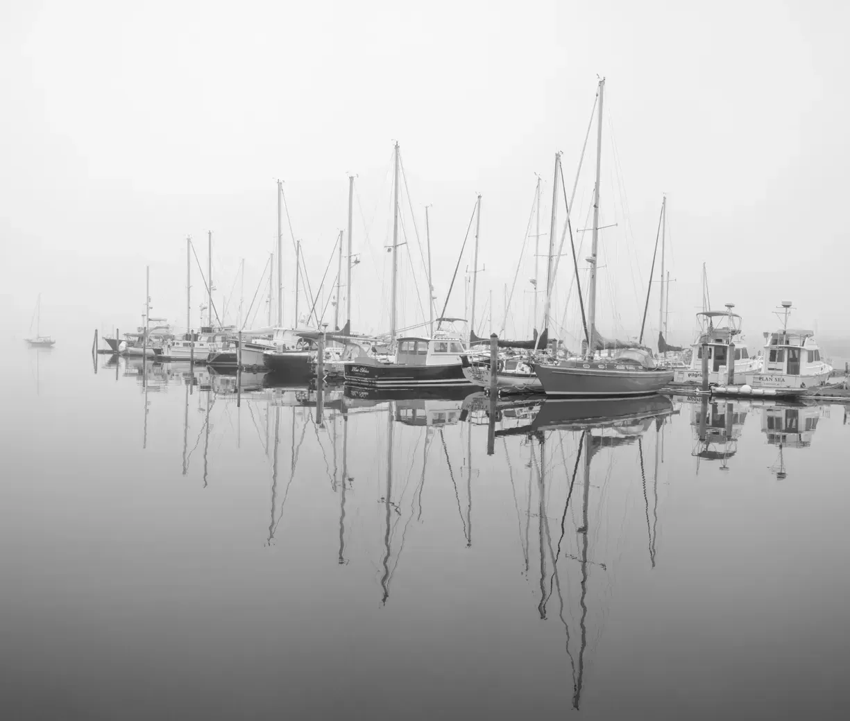
Fog along this coast isn’t limited to any one season, though it does have its favorite months. Portland’s own climate data shows dense fog peaking in the colder months, with January, October, November and December all averaging four to six dense fog days each, according to the National Weather Service climate summary. Summer produces a different, gentler kind of fog, tied more closely to the ocean temperature difference described in coastal weather accounts.
One Maine coast weather writer explained that warm moist air blows from the southwest onto the cooler ocean, and fog is created when that warm moist air hits the colder air just above the ocean surface. That’s the summer pattern that surprises so many visitors who arrive expecting sunshine and instead find themselves squinting through a white haze rolling in off the water.
What the fog means for boaters, drivers and daily life
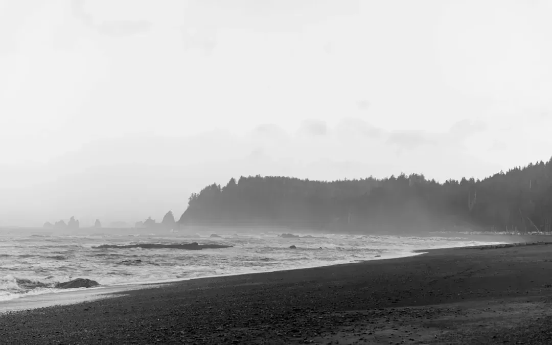
None of this is purely academic for the people who actually live along this coast. Boaters plan trips around forecasted visibility, and lobstermen have learned to navigate stretches of water they can barely see across. Even simple errands, like a quick clamming trip near shore, can turn tense when fog rolls in faster than expected, a scenario long familiar to anyone who has spent summers on the Maine coast.
Airports feel it too. Portland’s own dense fog records include documented multi day stretches, some lasting more than a week, that have disrupted flights and travel in past decades. It’s a reminder that fog here isn’t just scenic. It’s a genuine operational factor that shapes schedules, safety planning and everyday routines up and down the coast.
The fog that defines a coast