

The original assumption: more heat, more storms
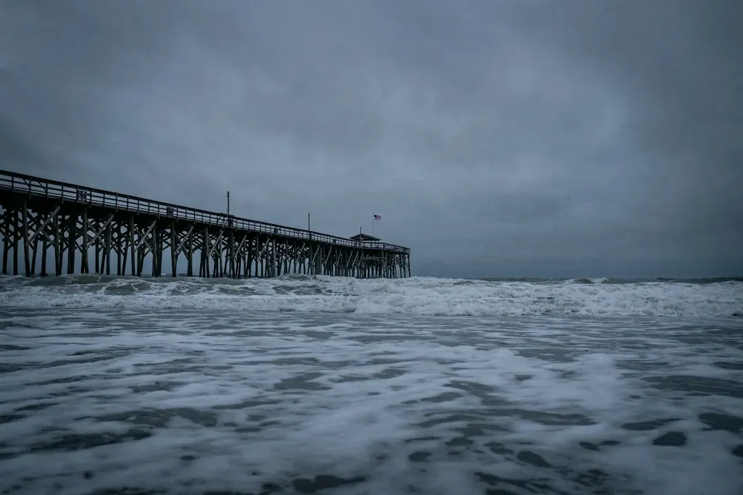
The logic behind the old assumption wasn’t unreasonable. Hurricanes draw their energy from warm ocean water, so a warmer ocean seemed like it should simply produce more of them, more often, across a longer season. This idea took hold in public consciousness partly because it was easy to visualize and partly because early climate messaging leaned on it as a way to make an abstract problem feel immediate and countable.
Scientists themselves never fully committed to that framing. Even NOAA’s own hurricane researchers have been cautious about overstating the link, noting in their public explainer that “it is premature to conclude with high confidence that human-caused increases in greenhouse gases have caused a change in past Atlantic basin hurricane activity that is outside the range of natural variability.” That kind of careful hedging rarely survives translation into a headline, which is part of why the simpler frequency narrative stuck around so long.
What the data from recent decades actually shows
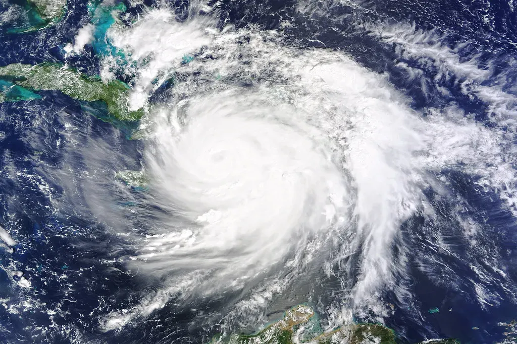
When researchers dig into the global record, the frequency story doesn’t hold up the way many people expected. NASA’s own overview on the subject states plainly that the global frequency of storms may decrease or remain unchanged, but hurricanes that form are more likely to become intense. That single sentence upends the bumper sticker version of events.
The Atlantic basin has been something of an exception, complicating the global picture. Research summarized in a 2023 review found that both climate change and climatic variability like ENSO and the AMO might explain the increase in total number of tropical cyclones and major hurricanes in the North Atlantic, though it remains unclear how much of that increase can be attributed to climate change specifically. In other words, the Atlantic has gotten busier, but scientists aren’t yet certain warming alone explains why.
Why warmer oceans might mean fewer, not more, storms
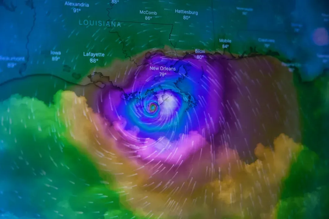
The mechanism behind a possible decline in overall storm counts has to do with atmospheric conditions beyond just sea surface temperature. According to analysis from the Union of Concerned Scientists, the tropical environment will become much less conducive to hurricane development, and a recent study found that tropical cyclone frequency has decreased globally over the course of the 20th century due to climate change. Wind shear, atmospheric stability, and moisture patterns all shift as the planet warms, and not all of those shifts favor storm formation.
This creates an odd tension in the research. The same body of work suggests that while most modeling studies predict a decrease in hurricane frequency, most of them predict an increase in very intense Category 4 or 5 hurricanes. Fewer storms overall, but a scarier subset of them, is a much harder message to communicate than “more hurricanes,” which may explain why it took longer to catch on publicly.
The intensity side of the story: stronger storms emerging
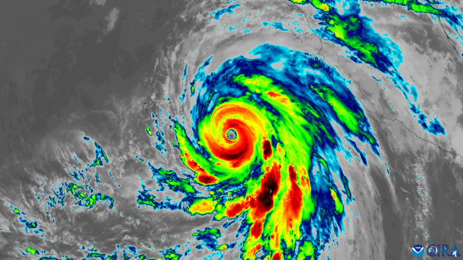
If frequency is the murky part of this puzzle, intensity is where scientists express far more confidence. The theoretical groundwork goes back decades, since potential intensity theory was pioneered in 1987 by MIT hurricane scientist Kerry Emanuel, who showed that human-caused global warming will increase the maximum strength that a hurricane can achieve. That theory has since been backed by observational data rather than just models.
A widely cited 2020 study built directly on this framework, and researchers found that global warming should cause an increase in the probability of encountering major tropical cyclone wind speeds of about 7.5% per decade. Separate observational work reviewing decades of storm data found that the fraction of major hurricane data points increased by 10%, with this increase greatest in the Atlantic, where major hurricanes comprised 40% of all hurricane data points in the most recent 20 year period studied, compared to 23% during the prior period.
Rapid intensification: a trend getting harder to ignore
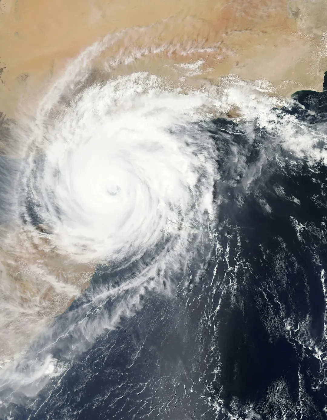
One of the more unsettling shifts scientists have documented involves how quickly storms can transform from modest systems into major threats. Hurricane scientist Kieran Bhatia’s analysis found that in the thirty six year period from 1982 to 2017, seven Atlantic storms intensified by 35 mph or more in the twenty four hours before a mainland landfall, but in just the seven years from 2018 to 2024, seven more storms achieved this feat, a factor of five increase in frequency during the past seven years. That is not a subtle trend line, and it has changed how forecasters talk about landfall risk.
Attribution science has started putting numbers on individual storms rather than just describing trends in the abstract. A July 2025 analysis found that human-caused climate change increased the intensity of 2024’s Atlantic hurricanes by 3% to 12%. For Hurricane Milton specifically, World Weather Attribution and separate researchers at Imperial College London independently concluded that the storm’s winds increased by about 11 mph, or 10%, as a result of climate change.
The role of aerosol pollution in the Atlantic uptick
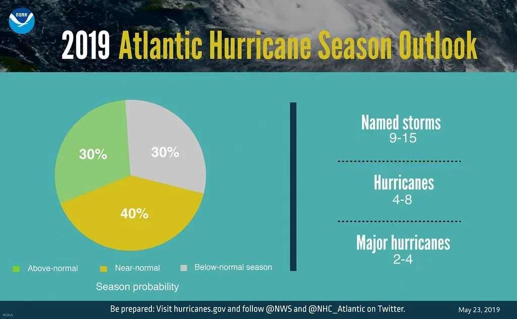
Here is where the revisiting gets genuinely interesting, because warming greenhouse gases may not be the only human fingerprint on Atlantic storm activity. A 2019 review paper by eleven hurricane scientists cited at least 10 papers linking a decrease in sulfate aerosol pollution to increased Atlantic hurricane activity. Cleaner air, in this telling, removed a cooling effect that pollution had previously provided.
This is not a fringe idea within the field. Four of the paper’s own authors gave low to medium or medium to high confidence to the theory that decreased fine particle pollution has caused a “highly unusual” increase in Atlantic tropical cyclone frequency since the 1970s. It’s a reminder that climate signals rarely come from a single cause, and that cleaning up air pollution, an unambiguous public health win, may have had an unintended side effect on ocean temperatures and storm behavior.
Rainfall and flooding: a less debated but growing risk
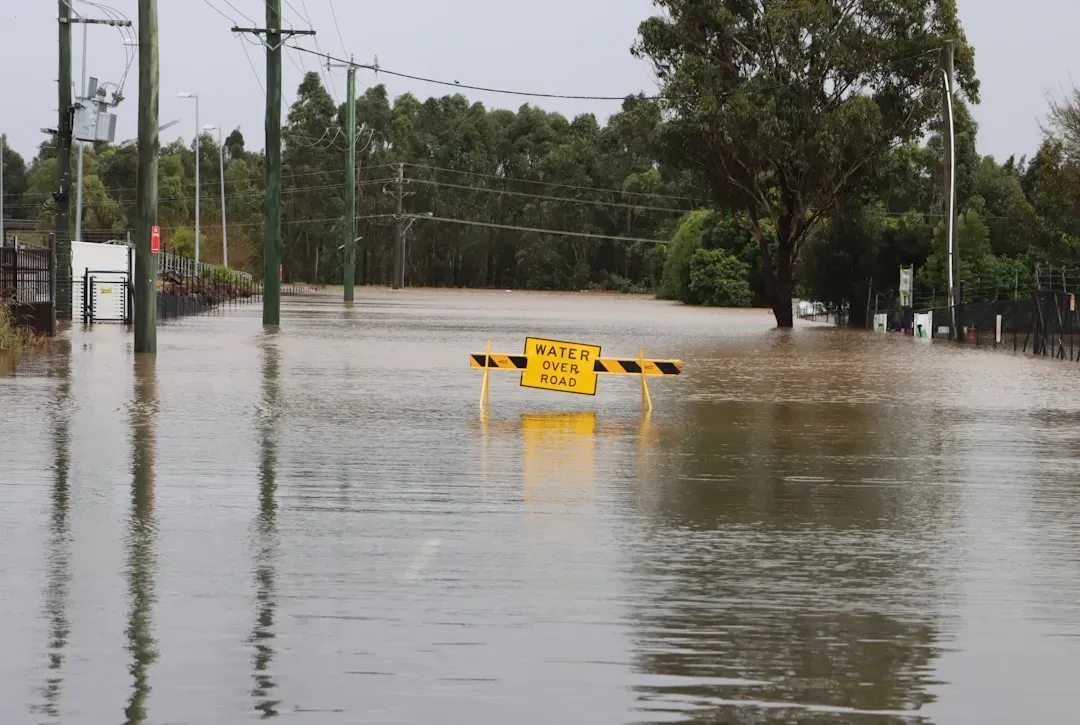
While the frequency debate grabs attention, the rainfall side of the story faces far less scientific disagreement. A 2020 paper examined how storms behave after making landfall and found that a shift may have already occurred for Atlantic hurricanes, with a typical Atlantic hurricane in the late 1960s losing about 75% of its intensity in the first day past landfall. Storms today appear to hang onto their strength, and their rainfall, for longer stretches inland.
Newer research has focused on storms that stall rather than move through quickly. A 2026 paper on stalled tropical cyclones found that stalled tropical cyclones produce about 12% more accumulated rainfall within an area about 15% smaller than that of non-stalled storms. The same study projected that under a moderate warming scenario, climate change will cause an increase in tropical cyclones stalling near or inland along the Atlantic coast, increasing daily rainfall by about 28% by the years 2062 to 2099.
The 2025 season as a real world test case
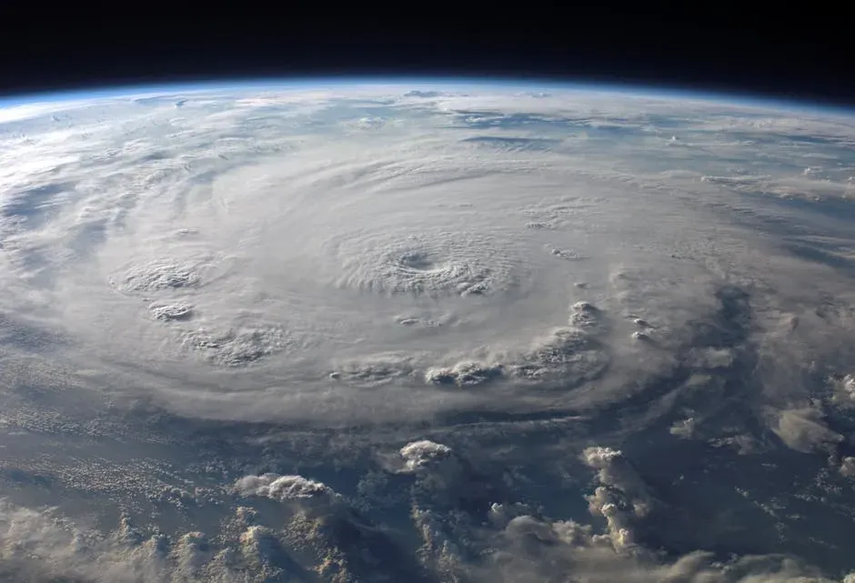
Sometimes a single season does more to reshape public understanding than a decade of papers, and 2025 may end up being one of those seasons. Warm waters helped intensify three separate storms into Category 5 strength, even as the overall count of named storms ran below the long term average, a pattern the Union of Concerned Scientists described as undoubtedly a part of this broader fossil fuel-caused climate change trend of more intense hurricanes. Fewer storms, stronger storms, happening in the same year, was almost a textbook illustration of what researchers had been modeling for years.
Not everyone reads the 2025 numbers the same way. A separate analysis pointed out that for the North Atlantic overall, 2025 saw the most ACE per hurricane since 1932, yet went on to note that global ACE per hurricane showed no trend, which challenges a popular hypothesis that changes in climate will result in fewer storms but a greater proportion of them being of higher intensities. That kind of pushback, from researchers working with the same underlying datasets, is exactly why the theory is still described as being revisited rather than settled.
What climate models now project for the rest of the century
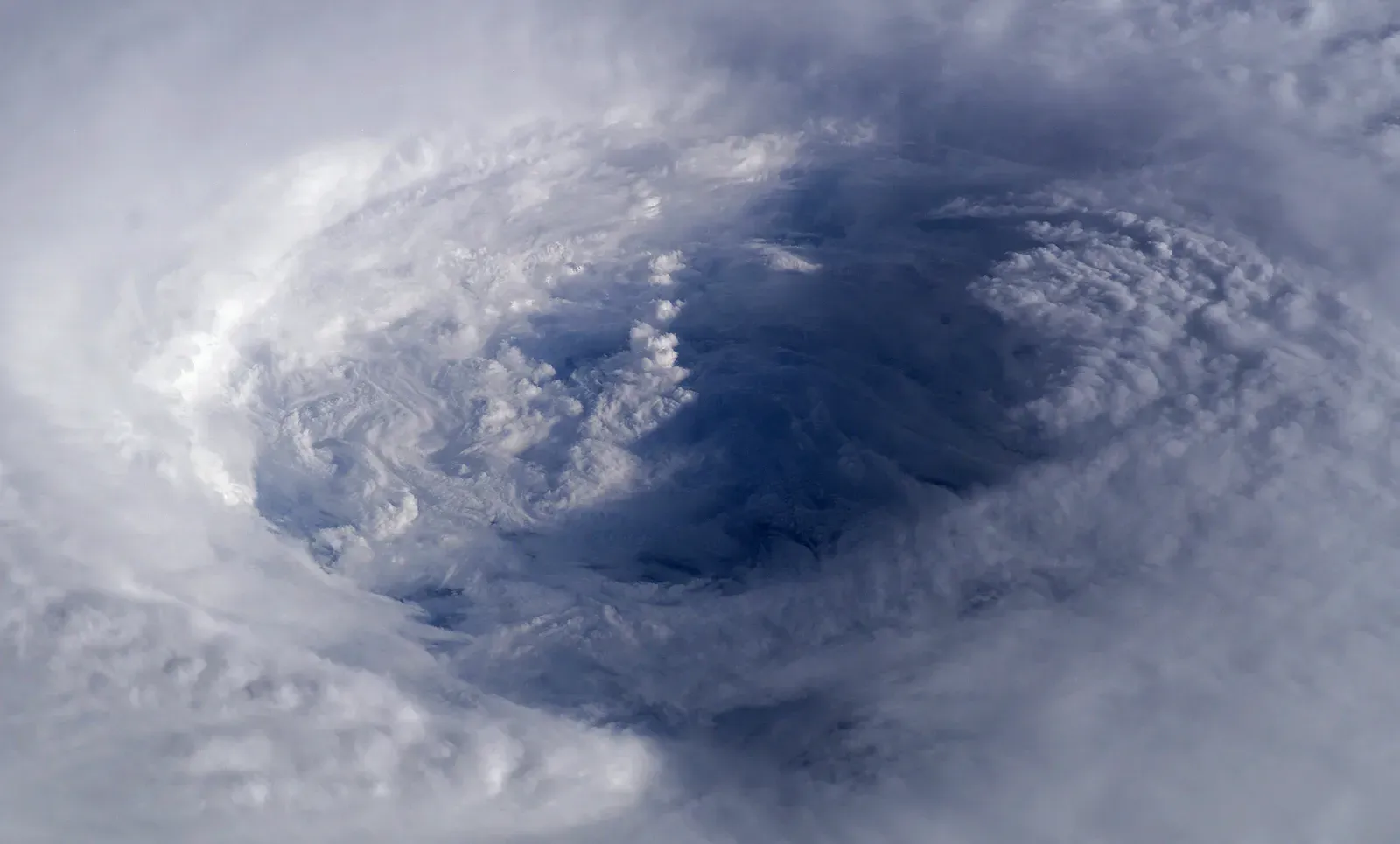
Looking further out, the modeling consensus has grown more specific without becoming simpler. A comprehensive multimodel study running simulations through 2050 found that projected tropical cyclone activity generally declines in some basins like the South Indian Ocean, while changes in other ocean basins remain more uncertain, though coupled models with smaller biases suggest a slight increase in average tropical cyclone wind speeds by 2050. That’s a far cry from the blanket prediction of simply more storms everywhere.
A broader science communication effort has settled on four points of high confidence rather than one sweeping claim. Yale Climate Connections summarized this consensus by noting there are at least four ways that hurricane scientists are very confident that climate change will make hurricanes worse, including that the strongest hurricanes will get stronger and that hurricanes will rapidly intensify more quickly and more often. Frequency, notably, isn’t on that short list of high confidence claims anymore.
Why this revision matters for coastal planning
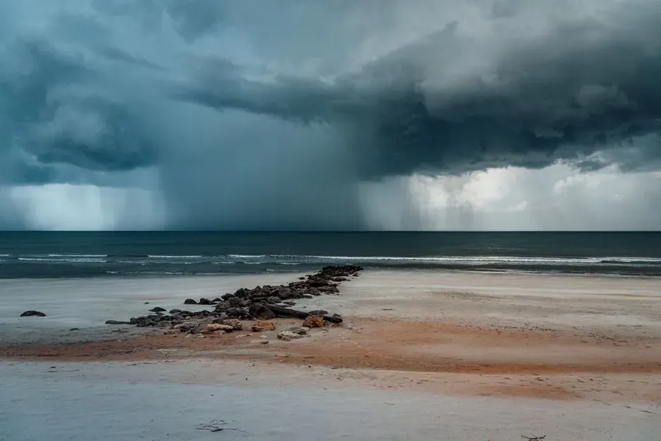
This shift in scientific framing isn’t just an academic exercise, since it changes what emergency planners and insurers should actually prepare for. A world with fewer but stronger storms demands different infrastructure investments than a world with simply more storms of average strength, particularly around evacuation timing given how quickly modern storms can intensify before landfall. Coastal building codes, storm surge modeling, and insurance risk pricing all lean on these distinctions rather than a general sense that “storms are getting worse.”
There’s also a communication lesson buried in all this. Climate Central’s ongoing attribution work exists precisely because oceans made warmer by human-caused climate change are fueling more intense hurricanes in the Atlantic, bringing heavier rainfall and higher storm surge when they make landfall. That framing, intensity and impact rather than raw storm counts, may end up being the more durable and more accurate way the public eventually understands this issue.
A more nuanced picture, still coming into focus
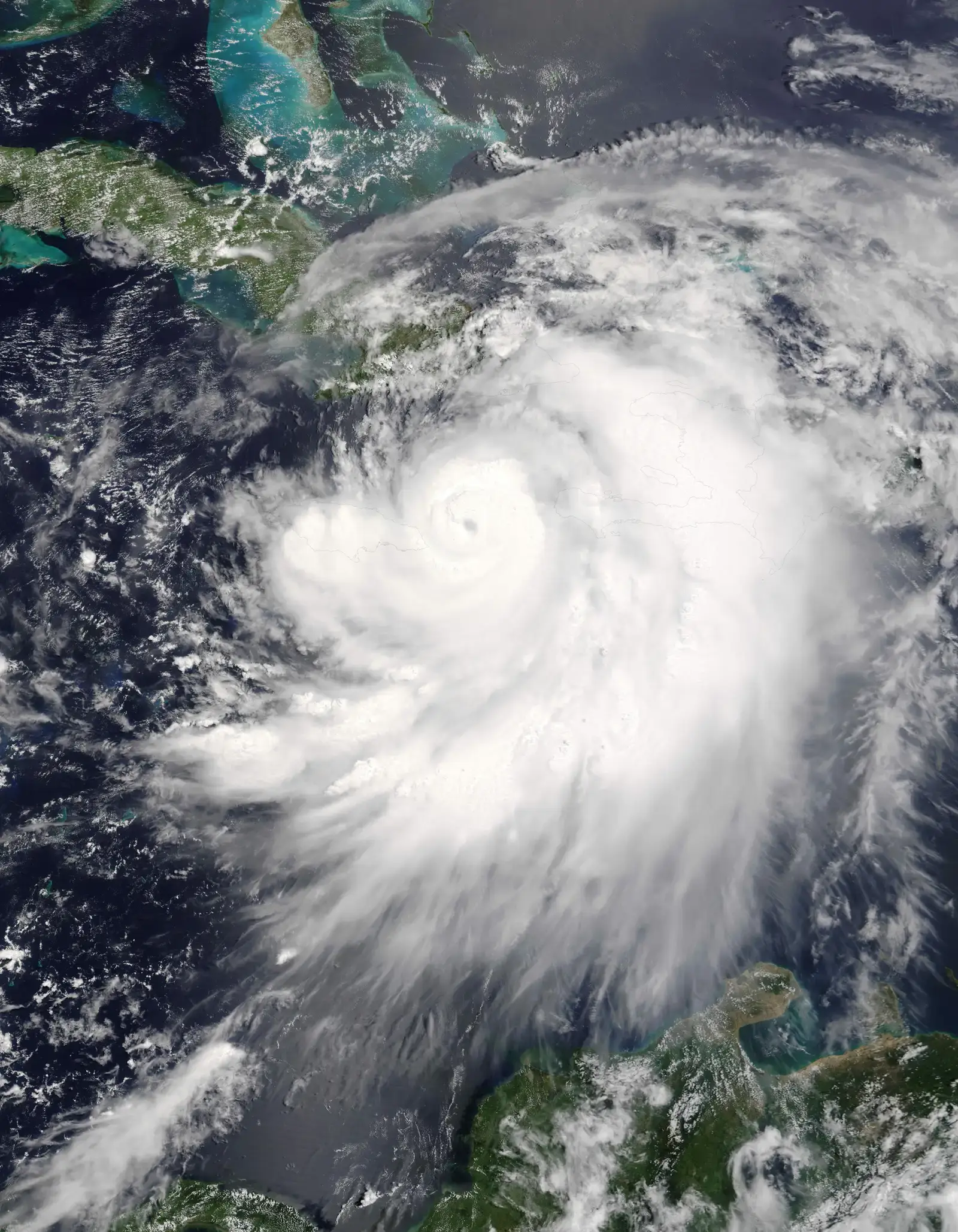
The frequency versus intensity debate hasn’t been fully resolved, and it likely won’t be for years, given how much natural variability exists in hurricane records that only stretch back reliably to the satellite era. What has changed is the willingness of scientists to say plainly that the old shorthand oversimplified a genuinely complicated system.
What remains consistent across nearly every study, regardless of how the frequency question eventually settles, is that the storms that do form are behaving differently than they used to. Stronger winds, faster intensification, wetter landfalls, these are the threads holding steady while the simpler headline about storm counts gets quietly rewritten.

- The Shoreline Sucked Dry in Seconds – 5 Tsunami Signals Beachgoers Mistake for Low Tide - November 14, 2026
- 9 Dark-Sky Destinations Around the World Where the Stars Look Unreal - November 14, 2026
- The Fault Line That Never Slips – 7 Locked Seismic Zones Overdue for a Massive Release - November 14, 2026
