


- 12 U.S. Cities Where Winters Have Changed Dramatically Since the 1970s - August 28, 2026
- The 11 American Cities With the Biggest Day-to-Night Temperature Swings - August 28, 2026
- Why Some Northern States Are Losing Snow Faster Than Others - August 28, 2026
Snow has always felt like a birthright in places like Vermont, Minnesota, and the Adirondacks. Yet over the past four decades, that birthright has been quietly eroding, and not at an even pace. Some northern states are shedding their snowpack at rates that alarm climate scientists, while others in similar latitudes have barely budged. The reasons behind this uneven retreat say a lot about geography, elevation, and the strange physics of a warming atmosphere.
Understanding why certain states are losing snow faster than their neighbors requires looking past simple temperature maps. Researchers have found that proximity to population centers, watershed characteristics, and something scientists call the “snow-loss cliff” all play outsized roles. What follows is a closer look at the science, the regional patterns, and the surprising winners and losers in America’s shifting snow landscape.
The Dartmouth Study That Changed the Conversation
A pivotal moment in this research arrived in January 2024, when Dartmouth College scientists published findings in the journal Nature that reframed how experts talk about snow loss. The study found that during the past 40 years the seasonal snowpack has decreased by 10 to 20 percent per decade in the northeastern and southwestern US and in other regions worldwide. That is not a subtle shift. It represents a fundamental change in what winter looks like across large swaths of the country.
What made the Dartmouth research especially notable was its geographic specificity. New England and New York saw some of the most marked annual declines compared to other snow-dependent regions of the Northern Hemisphere. The researchers did not stop at describing the past either. The authors of the study predict that by the end of the 21st century, the Northeast could often be nearly snow-free by the end of March.
Why the Northeast Keeps Showing Up in the Data
It might seem counterintuitive that a region famous for nor’easters and ski towns would rank among the fastest snow-losers in the country. But the science points to a specific vulnerability tied to temperature thresholds. The Southwestern and Northeastern U.S. saw among the steepest declines, with more than 10% of the spring snowpack lost per decade, and many heavily populated snow-dependent watersheds are dangerously near what researchers call a “snow-loss cliff,” wherein once average winter temperatures exceed 17 degrees Fahrenheit, snow loss accelerates even with only modest increases in temperature. The Northeast, unlike the frigid interior of Canada or Alaska, sits right at that dangerous threshold.
The specific watersheds affected read like a list of New England’s most iconic rivers. The Hudson, Susquehanna, Delaware, Connecticut, and Merrimack watersheds in the Northeastern U.S., where water scarcity is not as dire, experienced among the steepest declines in snowpack. Lead researcher Justin Mankin has pointed out that this creates a peculiar kind of vulnerability. These heavy losses threaten economies in states such as Vermont, New York, and New Hampshire that depend on winter recreation, even as machine-made snow has a temperature threshold that many areas are fast approaching.
Rhode Island and Connecticut Lead a Troubling Trend
Zoom in on New England specifically, and the disparities become even sharper. A 2025 study focused on the region found meaningful differences even among neighboring states. Rhode Island and Connecticut have been losing snow cover the fastest, while Maine has been losing less than 7 days of winter snow cover across the same twenty-year comparison window. That is a striking gap for states that sit within a few hundred miles of one another.
The explanation likely comes down to latitude, coastal influence, and elevation. Southern New England states sit closer to the coast and further south, which means they spend more winter days hovering near that critical freezing threshold where a degree or two of warming flips precipitation from snow to rain. Northern New England, with its higher elevations and more continental climate, has more of a buffer before it crosses that same line, at least for now.
The Southwest Tells a Similar but Distinct Story
It is worth noting that the Northeast is not fighting this battle alone. The same Dartmouth research placed the Southwest in an almost identical category of loss. The sharpest global warming-related reductions in snowpack, between 10% to 20% per decade, are in the Southwestern and Northeastern United States, as well as in Central and Eastern Europe. That pairing of a desert region with a humid coastal one might seem odd, but both share a common trait: they sit at the margins of what climate scientists call the snow-rain transition zone.
The mechanism driving Southwest snow loss, however, differs somewhat from what is happening in New England. In the West, spring heat events are increasingly doing the damage after the snow has already fallen. Research published in Science Advances describes spring heat waves that can nearly double the rate of snowpack melt, with rates jumping to about 17 millimeters of water per day during these events compared to a typical 9 millimeters. Researcher Dan McEvoy of the Desert Research Institute helped document just how dramatic these episodes can be. “There was basically a doubling of the rate of snowmelt during those days, compared to other days,” he explained.
Not Every Cold Region Is Losing Ground
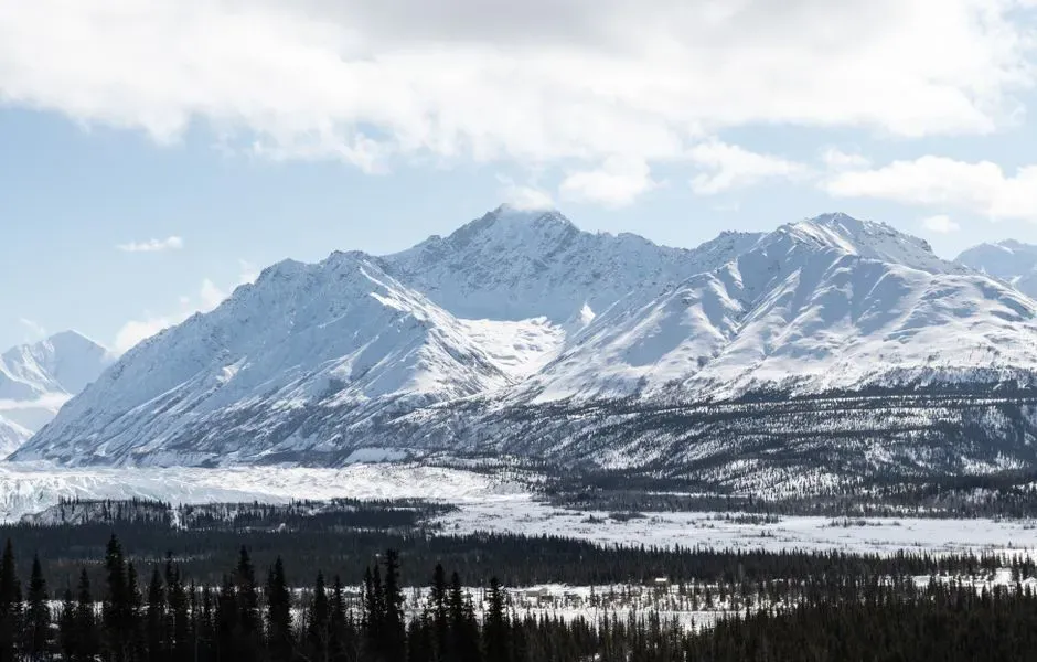
Here is where the story gets genuinely counterintuitive. While the Northeast and Southwest bleed snowpack, other far-northern regions are actually gaining it, at least for now. Researchers found that 80% of the Northern Hemisphere’s snowpacks, which are in its far-northern and high-elevation reaches, experienced minimal losses, and snowpacks actually expanded in vast swaths of Alaska, Canada, and Central Asia as climate change increased the precipitation that falls as snow in these frigid regions. Warmer air, it turns out, can hold more moisture, and in places cold enough that temperatures stay safely below freezing, that extra moisture still falls as snow rather than rain.
This creates a strange paradox that complicates the simple narrative of “warming means less snow everywhere.” It is the remaining 20% of the snowpack that exists around and provides water for many of the hemisphere’s major population centers that has diminished the most. In other words, the places losing snow fastest are disproportionately the places where the most people actually live and rely on that snow for water supply.
Spring and Early Summer Are Where the Losses Concentrate
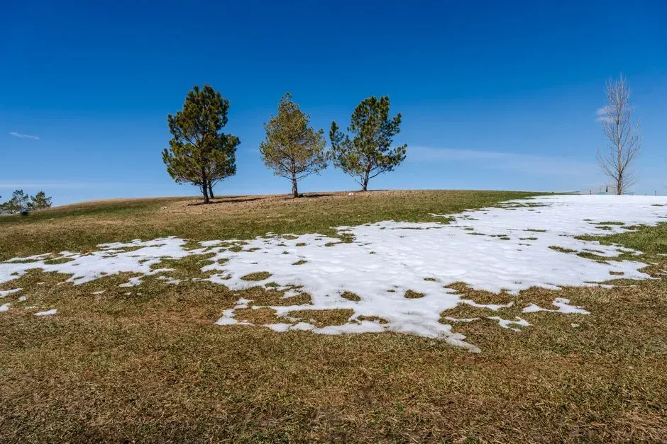
Snow loss is not spread evenly across the calendar. It is heavily concentrated in the shoulder seasons, particularly as winter transitions into spring and as spring transitions into summer. Between 1967 and 2022, April snow cover declined by 1.32 percent per decade, May snow cover by 4.1 percent per decade, and June snow cover by 12.95 percent per decade. That accelerating pattern by month tells its own story about where the real vulnerability lies.
June in particular has become the month where snow cover collapses most dramatically across the Northern Hemisphere. The area of snow-covered ground is declining most rapidly in June, a month when, historically, Siberia, Alaska, and northern Canada remained partially snow covered. This matters enormously for water managers, because snow that lingers into early summer often represents the last slow-release reservoir before the dry season truly sets in. When that late snow disappears, streamflows drop earlier and reservoirs have less time to refill.
The Water Supply Consequences Are Already Visible
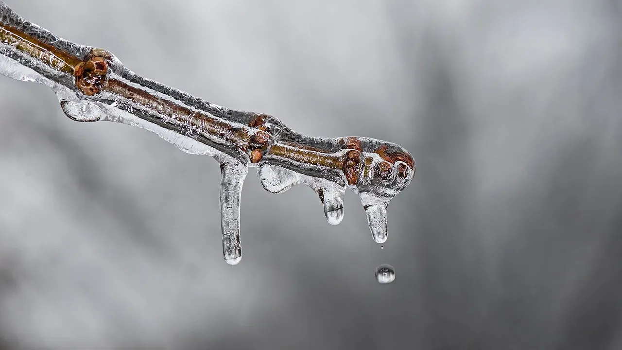
These trends are not just abstract numbers in academic papers anymore. The water year spanning October 2024 through September 2025 offered a real-time preview of what accelerated snow loss looks like on the ground. Researchers reported above-average snowpack through May 2025, then a rapid decline in snow cover in June. The drop was not gradual either. The Arctic Report Card 2025 described terrestrial snow cover conditions over that water year, noting that June 2025 snow cover extent was only about half of typical levels.
Similar rapid-melt patterns showed up further south during the same period, with real consequences for communities that depend on gradual snowmelt. Snowpack nearly disappeared from monitoring stations across the West as dry and warm conditions accelerated snowmelt and early snowpack loss, with snow disappearing early even in areas without widespread snow drought conditions and with above-normal peak snow water equivalent. That is a critical detail, because it means having a healthy snowpack in February or March is no longer a guarantee that water will actually be there when it is needed in July.
What This Means for the Years Ahead
Long-range projections suggest these regional disparities are likely to widen rather than narrow. Researchers at Berkeley Lab have modeled how snowpack in vulnerable regions could evolve through the rest of the century under different emissions scenarios. Based on a synthesis of existing climate projections, snowpack in the western United States may decrease 20 to 30 percent by the 2050s and 40 to 60 percent by the 2100s, especially if greenhouse gas emissions remain high. States that are already near the snow-loss cliff, including much of the Northeast and Southwest, are the ones expected to cross fully into snow-scarce territory first.
None of this means snow is vanishing everywhere at once. The far north, at least for the coming decades, appears likely to keep its snowpack or even gain a bit, while population centers in the mid-latitudes continue losing ground. That divide, more than any single statistic, is the real story of America’s changing winters: it is not that snow is disappearing uniformly, but that it is disappearing fastest exactly where the most people depend on it.
A Divided Winter Future
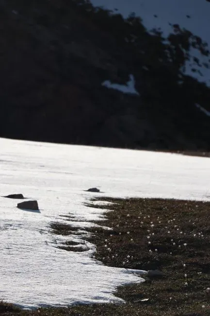
The states losing snow fastest tend to share a common trait: they sit close to the thin edge between freezing and thawing, where small temperature increases produce outsized effects on whether precipitation falls as snow or rain. Vermont, New Hampshire, New York, Rhode Island, and Connecticut all fall into this category, alongside Southwestern states like Colorado, New Mexico, and Utah that face their own version of the same threshold problem.
Meanwhile, places like northern Maine, interior Alaska, and much of Canada retain a temperature buffer that has, so far, protected their snowpack and in some cases even expanded it. That buffer will not last forever if warming continues at its current pace, but for now it explains why two states just a few hundred miles apart can experience completely different snow futures. The pattern is a reminder that climate change rarely acts uniformly. It finds the thin edges first, and for snow, those edges run straight through some of the most snow-loving communities in the country.
