
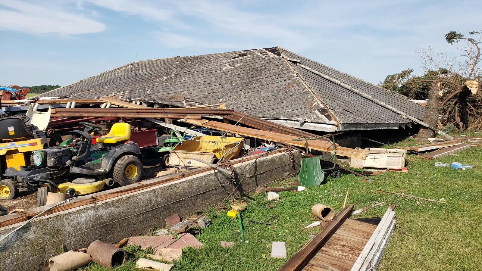

Most people don’t hear the word “derecho” until one rips through their neighborhood, and by then it’s already too late to look it up. These storms move fast, hit hard, and leave a trail of downed trees and dark neighborhoods behind them in a matter of hours. Meteorologists have long known that certain states sit squarely in the path of these events more than others, and recent seasons have only sharpened that pattern.
A derecho isn’t just a bad thunderstorm. It’s a long-lived band of wind that travels in a straight line rather than spinning like a tornado, and it has to meet a fairly strict set of criteria to earn the label at all. Understanding which states fall inside this so-called corridor helps explain why some regions seem to get hit again and again while others rarely see one at all.
Iowa: ground zero for the modern derecho
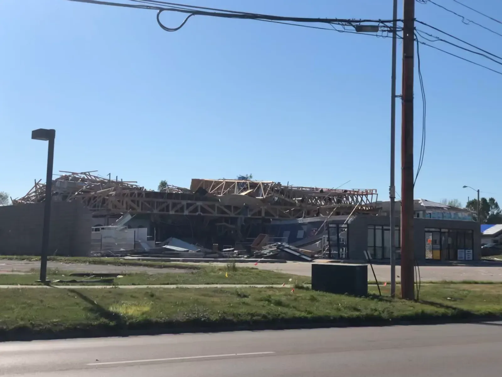
Iowa has become almost synonymous with derecho damage in recent years, and the numbers back that up. On July 15, 2024, a system produced widespread damaging winds up to 100 mph for many locations extending from eastern Iowa, much of Illinois, and into Indiana. That storm followed a now-familiar script, with reports of strong gusts and hail moving from Iowa into northern Indiana on July 15-16, 2024, earning a classification as a derecho.
The comparisons to the catastrophic 2020 event are hard to avoid. That earlier storm was a cluster of thunderstorms that erupted in South Dakota, traveled approximately 770 miles in about 14 hours before it weakened in Ohio. Towns like Ames were left in the dark for days, and by the following morning nearly 1 million were still without power across Iowa, Illinois and Indiana, a scale of outage that still shapes how utilities plan for severe weather in the state today.
Illinois: where corn belt storms collide with a major metro
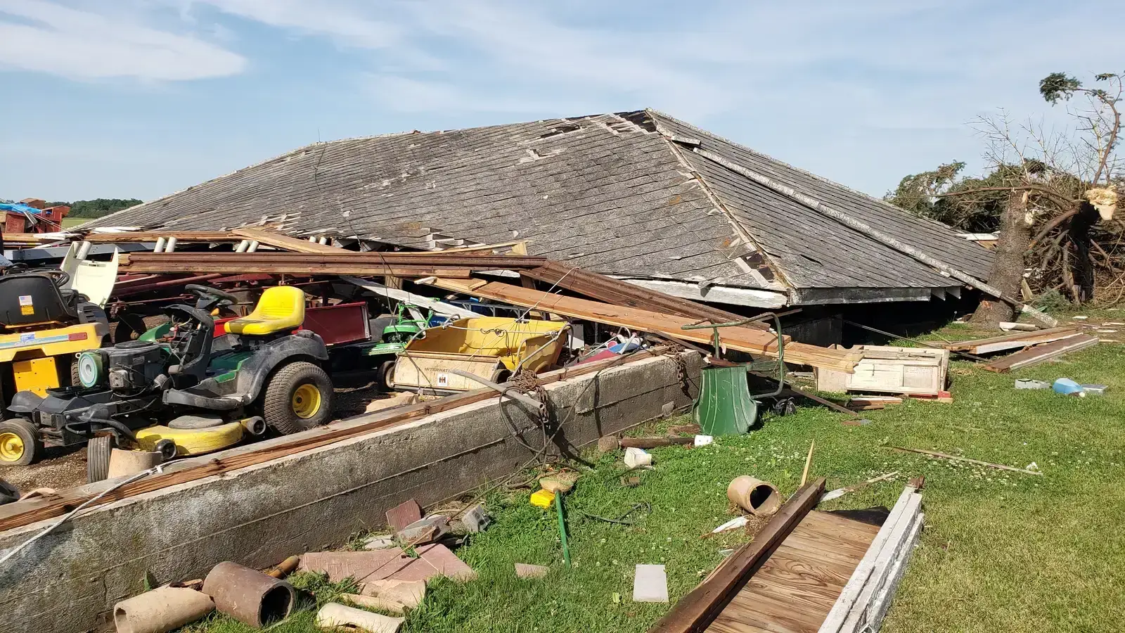
Illinois sits at an unfortunate intersection of open farmland and one of the busiest airports in the country, which makes its derecho encounters especially dramatic. The July 2024 event stretched an enormous distance, described as a deadly derecho stretching nearly 500 miles that left damage from Iowa to Indiana and into the Chicago metro. Passengers at O’Hare found themselves caught in the middle of it, with a tornado reported just outside of the airport and dozens of flights disrupted.
The state’s exposure hasn’t let up since. In June 2026, a fresh round of severe weather brought countless trees down across the west side of Joliet, part of a broader outbreak in which NOAA’s Storm Prediction Center received more than 520 reports of intense wind gusts. Quad Cities residents on the Illinois side of the border also dealt with tornadoes spun up alongside the main derecho, a reminder that these events rarely arrive alone.
Indiana: the eastern edge of the same violent line
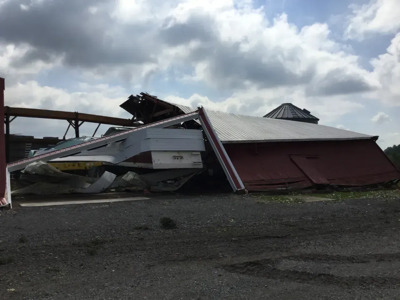
By the time a Midwest derecho reaches Indiana, it has usually built up momentum over hundreds of miles, and the state often absorbs some of the worst structural damage as a result. During the 2020 event, officials in Fort Wayne reported that a woman whose mobile home was obliterated by the storm died at the hospital after first responders rushed her there. That single detail captures how these winds, rated similarly to hurricane gusts, can prove lethal even without a tornado forming.
The 2024 derecho followed nearly the same track, pushing through the region and contributing to crop losses across the board. Agricultural analysts noted that producers across eastern Iowa, northern Illinois, southern Wisconsin, and Indiana likely saw yield damage from the storm’s winds and hail. Indiana’s position at the tail end of these systems means it often gets less warning time even as the storm arrives with full strength intact.
Ohio: the storm’s last major stand before it fades
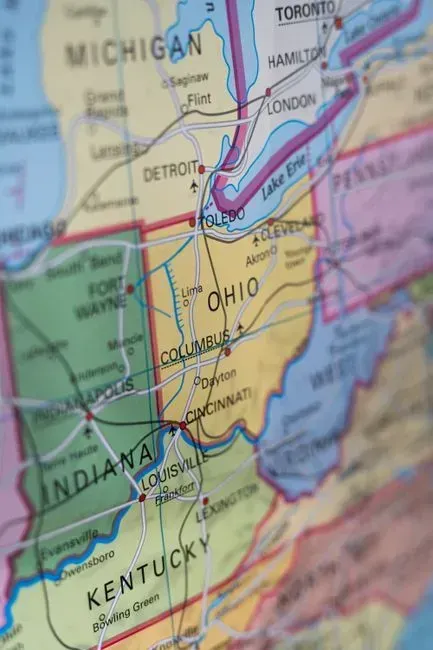
Ohio marks something of a turning point for many of these systems, often the place where a derecho finally starts losing steam after tearing across three or four states. The 2020 storm that devastated Iowa eventually weakened here, having already traveled approximately 770 miles in about 14 hours before it weakened in Ohio. The 2024 event followed a similar arc, with the same complex of storms tracked across Iowa and Illinois into Indiana and Ohio before officially earning derecho status from the Storm Prediction Center.
Climatological research places the state firmly inside the historically busiest zone in the country. Long-term studies describe a distinct corridor from the upper Mississippi Valley through the Ohio Valley as most susceptible to these storms between May and August, and Ohio sits right in the middle of that stretch. Even when a derecho arrives here weaker than it started, the cumulative wind and rain can still down trees and knock out power across wide swaths of the state.
Minnesota: the northern anchor of the corn belt corridor
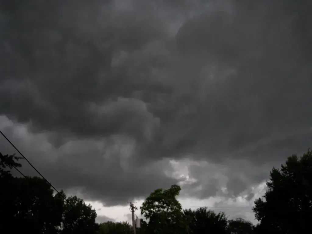
Minnesota doesn’t always get the headlines that Iowa or Illinois do, but it experiences its own share of destructive windstorms, sometimes in places far from the state’s biggest cities. In June 2025, a storm system associated with severe thunderstorms produced what became known locally as the “Bemidji Blowdown,” a widespread wind event tied to the broader family of storms recorded that week. Reporting on the aftermath referenced the “Bemidji Blowdown and Other Severe Thunderstorms, June 20-21, 2025” as officials worked to assess the scope of the damage.
Minnesota also played a role in one of the more unusual derecho events of recent years. The May 2022 Midwest derecho affected portions of northeastern Iowa, Minnesota, Nebraska, southeastern North Dakota, and South Dakota, and its winds were strong enough to loft a wall of dust into a haboob that traveled alongside the storm. That combination of extreme wind and airborne debris is becoming a more familiar sight across the state’s southern and western counties.
Wisconsin: quietly logging one to two events every season
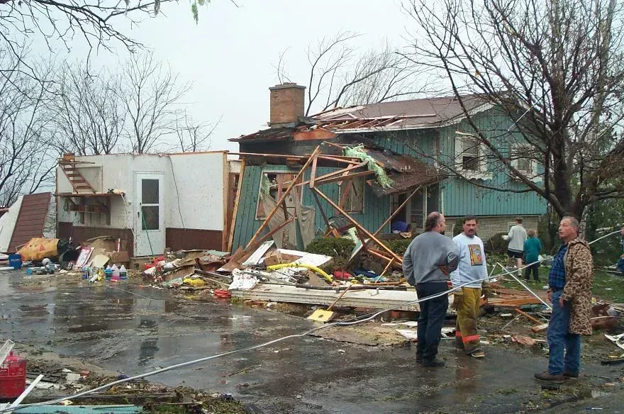
Wisconsin rarely dominates national coverage of derechos, yet long-term data shows it belongs firmly inside the corridor. Research spanning nearly two decades found that Wisconsin, Iowa, Illinois, Indiana, southern Michigan, Ohio, Kentucky and the Appalachians averaged one to two derechos each May-August over the 18-year period from 1996 through 2013. That steady frequency has made the state a consistent, if less publicized, part of the broader pattern.
Wisconsin’s exposure showed up again during the 2024 season, when southern portions of the state absorbed damage from the same system that battered Iowa and Illinois. Agricultural reporting noted crop stress spreading into southern Wisconsin alongside neighboring states, underscoring how these storms rarely respect state lines once they get moving. For a state better known for lake effect snow than summer windstorms, the derecho risk is a less obvious but very real seasonal hazard.
Kentucky: the corridor’s southern boundary

Kentucky sits at the southern fringe of the historically busiest derecho zone, close enough to the Ohio Valley to catch the tail end of many major systems. The same 18-year climatology that tracked storms across the upper Midwest also identified Kentucky and the Appalachians as regions that averaged one to two derechos every warm season. That places the state in a slightly different category than Iowa or Illinois, since it tends to see fewer events overall but still enough to matter for emergency planners.
Kentucky’s terrain, with its mix of rolling hills and river valleys, can complicate how these storms behave compared with the flat farmland further north. Even so, the broader research consensus keeps Kentucky inside the recognized zone of elevated risk, particularly during the peak months of late spring and summer. As storm systems shift and intensify further north, some researchers expect the southern edge of the corridor to see subtle changes in how often it gets touched by these events too.
What’s driving the pattern
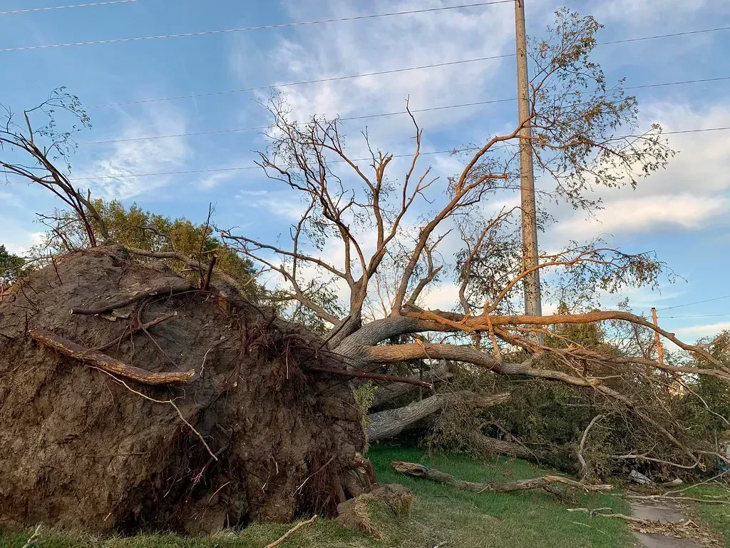
Scientists studying long-term derecho records have noticed a real shift over time, not just in isolated seasons but across decades of data. A recent climatology covering 1995 through 2024 found that the frequency of derecho-producing convection has increased over the past 30 years, most notably during the last 10 years, though researchers caution that reporting improvements make the trend harder to pin down precisely. The same research noted that the number of high-end derechos occurring every year has also increased with time, a detail that matters for infrastructure planning across the corridor states.
Population growth is compounding the problem, even independent of any change in storm behavior itself. Researchers describe an “expanding bullseye effect” that may explain some of the escalating frequency and magnitude of disasters such as the 2020 Corn Belt Derecho, since more homes and infrastructure now sit in the path of storms that would have hit open farmland decades ago. Climate modeling adds another layer of uncertainty, with future projections suggesting that MCS-based windstorms, including derechos, are more frequent, widespread under warming scenarios, even as scientists continue debating exactly how much of the recent uptick is climate driven versus simply better detection and denser populations catching more of what was always there.
