


- How America’s Hurricane Season Has Changed in the Last 30 Years, in 8 Numbers - August 19, 2026
- The Real Reason Droughts Keep Coming Back – And It’s Not Just Rainfall - August 18, 2026
- The 6-Point Checklist Foresters Use to Decide If a Community Is Wildfire-Safe - August 18, 2026
Every Texas summer now arrives with a familiar warning label attached. Triple digit stretches, grid alerts, and drought maps have become part of the seasonal routine rather than rare events. Two of the state’s biggest metros, Austin and Dallas, sit at the center of that pattern, each facing the same sun but with different tools, different infrastructure, and different vulnerabilities.
The question of which city handles the heat better is not a simple one. It depends on how you measure resilience, whether that means raw temperature records, tree cover, water reserves, or the wiring behind the power grid. Looking at the actual data from recent summers gives a clearer picture than gut instinct alone.
How hot each city actually gets
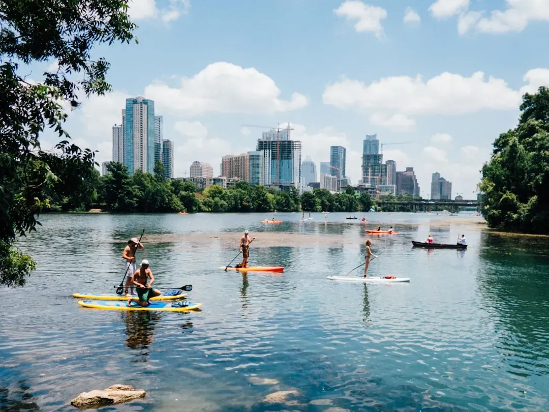
Austin and Dallas share a climate that is drier and, in some ways, more punishing than Houston’s humid heat, even if the humidity makes Houston feel worse on paper. Houston feels the worst of it because of humidity, with heat index values around 105 to 107°F in early July, while Dallas, Austin and San Antonio bake in drier triple-digit heat. That dry heat in Austin and Dallas still adds up to long, grinding summers rather than a handful of bad weeks.
Austin’s numbers tell a story of consistency. The heat typically arrives in early June and does not break until mid-to-late September, giving the city roughly four months of sustained temperatures above 90°F, with August averaging highs of 97°F. The city’s worst summer on record remains 2011, when Austin recorded 90 days at or above 100°F and hit an all-time high of 112°F at Camp Mabry on August 28. Dallas has had its own brutal stretches too. In 2023, the metro endured 55 straight days with highs at or above 100 degrees, coming in as the fifth warmest in the region’s history, with the thermometer at Dallas/Fort Worth Airport registering 108 degrees by mid July.
The urban heat island effect across two skylines
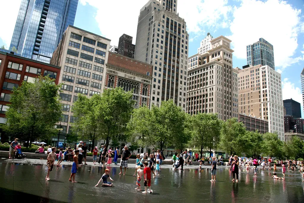
Raw air temperature is only part of the story. What people actually feel walking outside depends heavily on how much concrete, asphalt, and shade surrounds them, and this is where the two cities start to diverge. Roughly three quarters of Austin residents live in neighborhoods where temperatures feel at least 8 degrees higher than the actual temperature, up from about two thirds the year before, according to Climate Central’s analysis.
Dallas has its own well documented heat island problem, and by some measures it runs even hotter downtown. Dallas has one of the most severe heat island effects in the U.S., with an average impermeable surface fraction of around 35% compared to a national average of roughly 25%. That paved-over landscape has a measurable effect: the average temperature in downtown Dallas can be up to 12 degrees Fahrenheit warmer than in surrounding rural areas. A recent city study even found ground temperatures along parts of Harry Hines Boulevard could register upwards of 120 degrees during the summer.
Tree canopy and the shade gap
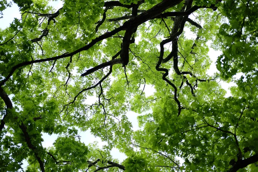
Trees are one of the cheapest, most effective tools cities have against extreme heat, and Austin has leaned into that strategy harder than Dallas has so far. Austin’s citywide canopy cover reached 41% in 2022, up from 36% in 2018, and the Climate Equity Plan aims to push that to 50% by 2050. That is meaningful progress, though it still leaves large gaps between neighborhoods.
Dallas trails Austin on raw canopy percentage, though its own tree program is catching up. As of 2021, Dallas’s urban tree canopy sat at 32%, with the city working to increase it to 37% by 2040. Nonprofits like the Texas Trees Foundation have pushed both cities to treat shade as public health infrastructure rather than landscaping, and the data backs that framing: tree planting concentrated in the hottest, densest neighborhoods has been linked to real drops in heat related mortality.
Water reserves behind the taps

Heat resilience is not only about air temperature. It is also about whether the water keeps flowing when reservoirs shrink under a drying sky. Austin draws its supply primarily from the Highland Lakes, and recent years have tested that system hard. Lake Travis dropped roughly 636 feet above mean sea level during the 2025 drought, more than 40 feet below full capacity, while the Barton Springs Edwards Aquifer Conservation District declared an exceptional drought, triggering mandatory reductions of 30 to 100% in groundwater pumping across Central Texas.
Austin has responded with some of the strictest permanent rules in the state. Austin is one of the only cities in Texas to adopt permanent year-round conservation watering restrictions, and those measures appear to be working over the long run, since Austin Water customers used more than 160 gallons per capita per day in 2011, a figure that had dropped to about 131 gallons per capita per day by 2023. Dallas and its neighbors have taken a different but still meaningful approach, with year-round 2-day/week watering ordinances already built into the system rather than triggered only during drought emergencies.
Two very different power grids
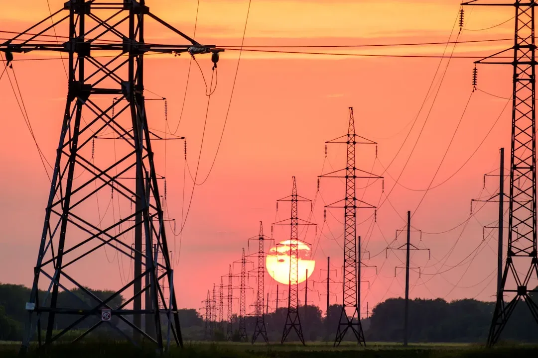
This is arguably where the two cities look most different on paper. Austin runs its own municipal utility, which changes how decisions get made during a heat emergency. Most of Austin is not deregulated; if you live within Austin city limits, you’re likely served by Austin Energy, a municipal utility where you can’t choose your provider. Dallas sits inside the deregulated ERCOT marketplace, where Texas’s deregulated energy market allows consumers in Dallas to choose their own energy provider, while Oncor serves as the transmission and distribution utility.
The stakes for the whole grid are rising regardless of which system a resident falls under. ERCOT has forecast a possible record peak demand above 92 GW this summer, well past the 85.5 GW record set in August 2023. Oncor’s scale matters here too, since Oncor is the largest electric utility provider in Texas, serving over 10 million customers, with the bulk of its service area in Dallas, Fort Worth and the surrounding areas. A municipal system like Austin Energy has more direct local accountability during emergencies, but it also has less market flexibility than the competitive plans available to Dallas residents.
Building codes and heat mitigation infrastructure

Both cities have started treating heat mitigation as a building code issue rather than an afterthought. Dallas has moved more explicitly on this front in recent years. The city is working with stakeholders to implement solutions such as installing reflective pavements and planting more trees and vegetation, and it already requires new buildings to have cool roofs that reflect heat.
Austin has run similar pilot programs, particularly in its hottest, most exposed neighborhoods. Austin and several other cities are taking measures to combat the urban heat island effect, like special pavement coating to reflect the sun’s heat instead of absorbing it, and last summer the city installed misting canopies and distributed thousands of water bottles. Dallas has gone further with dedicated capital spending, committing a $198 million initiative focused on health and safety for people who live, work, and seek treatment within the Southwestern Medical District, an area that includes some 42,000 employees and 110,000 patients.
Heat related health risks and mortality data
The human cost of extreme heat is measurable, and both counties track it closely. Dallas County’s worst year on record for heat deaths came more than a decade ago, but the number still sets the benchmark planners use today. Heat-related deaths peaked at 52 in 2011 in Dallas County, and researchers found that tree planting in the hottest areas with high density residential development reduced deaths by more than 20 percent by merely dropping temperature alone.
Dallas’s ranking among the hottest big cities in the country adds urgency to that public health data. The Texas Trees Foundation notes that Dallas is the 7th hottest city in the country, and it has identified specific hot spots, since a study determined the UT Southwestern Medical District and areas with school campuses are among the hottest, since there isn’t a lot of tree canopy cover. Austin faces a parallel challenge with its UV exposure, given that the UV index during Austin summers regularly reaches 11 to 12, extreme levels, with Texas ranking eighth-highest in the nation for UV exposure risk according to the EPA.
Equity gaps within each city
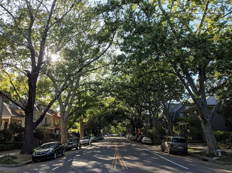
Neither city distributes its heat protections evenly, and the disparities inside each metro can be as significant as the differences between them. Austin’s canopy map reveals a stark income divide. In Westlake, where the median income was listed at $238,000, 69% of the land was covered by canopy, while in the northeast neighborhoods of St. John’s and Coronado Hills, where the median income was $41,000, just 21% was covered.
Dallas shows a similar pattern of concentrated heat exposure in lower income, historically underserved areas. City officials have acknowledged this directly, noting that extreme temperatures cause health problems for our residents, such as heat stroke or heart related deaths, which is part of why the city’s heat island mapping study specifically targeted where people are most likely to be at risk during extreme heat events. Both cities are essentially fighting the same battle on two fronts, one about total canopy and infrastructure, and one about who actually benefits from it.
Growth pressure and future strain
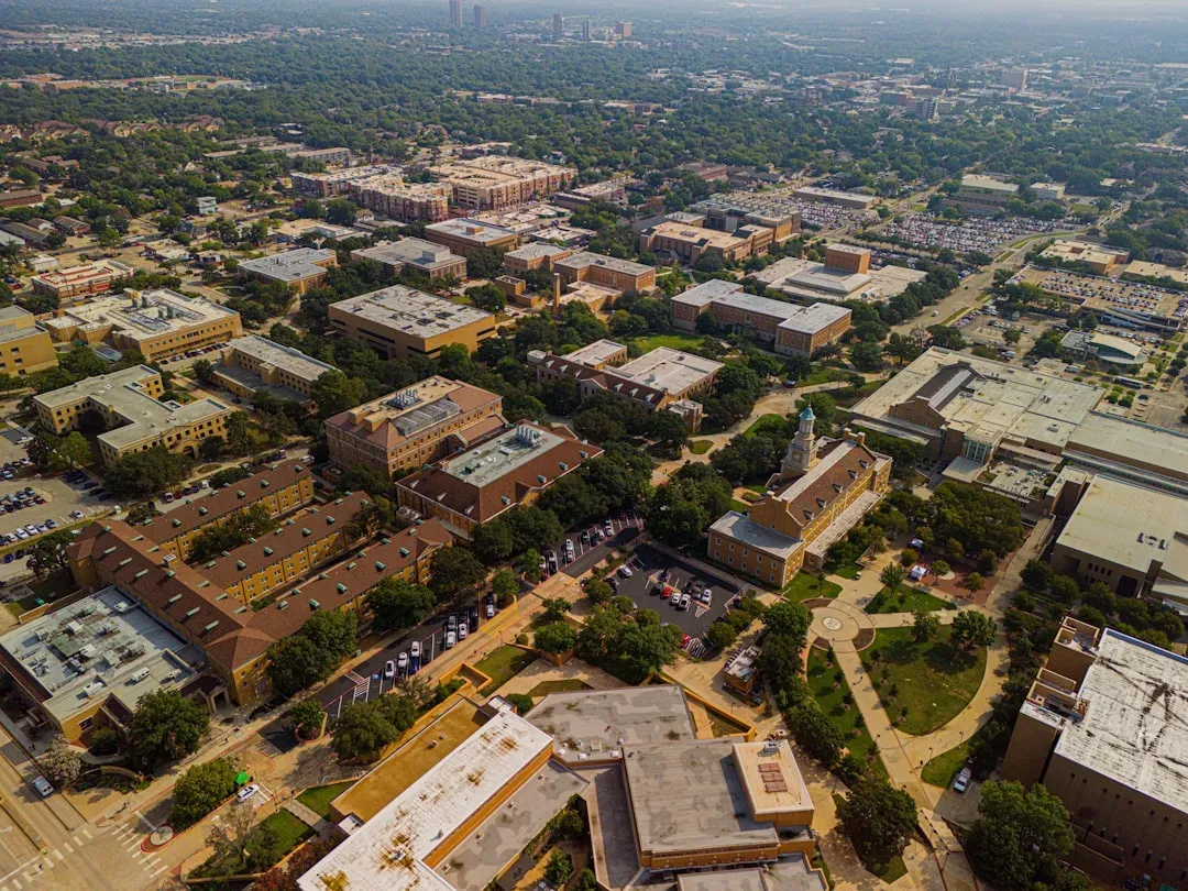
Both metros are growing fast enough that yesterday’s infrastructure planning is already outdated. North Texas in particular has felt this acutely, since North Texas is seeing unprecedented growth, and with growth comes new buildings, roads and parking lots, all of which add to the heat island problem rather than easing it. Water planners see the same dynamic playing out statewide.
Central Texas is not exempt from that growth pressure either. Regional water officials have flagged rising costs tied to expansion, since North Texas water officials found that the cost of implementing the 2026 State Water Plan in their region grew by nearly $20 billion relative to the plan five years earlier. Meanwhile Austin’s power grid faces its own growth story, driven largely by data centers, since the surge in interconnection requests is driven primarily by AI data centers, cryptocurrency mining, and industrial expansion, and Senate Bill 6, passed in 2025, specifically addresses electricity planning and infrastructure costs for large energy consumers.
Which city comes out ahead
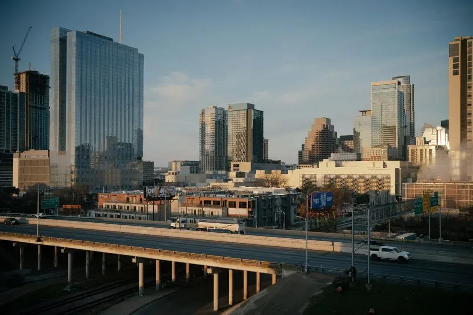
Judged strictly on tree canopy and long term climate planning, Austin currently holds a modest edge, with its higher percentage of canopy cover and a formal 2050 target guiding annual investment. Its municipal utility also gives city officials more direct control during grid emergencies, something Dallas cannot claim under its deregulated ERCOT structure. Still, Austin’s water supply looks more fragile in the short term, with Highland Lakes levels swinging dramatically between drought and recovery in just the past two years.
Dallas, meanwhile, has moved aggressively on cool roof requirements and large scale capital projects like the Southwestern Medical District initiative, and its watering restrictions apply year round rather than only during emergencies. Neither city has solved the underlying problem, and both continue to carry uneven heat exposure across income lines. The honest answer is that Austin edges ahead on vegetation and water conservation policy, while Dallas edges ahead on cool infrastructure mandates and grid market flexibility, leaving the overall contest closer than either city’s boosters might admit.
