
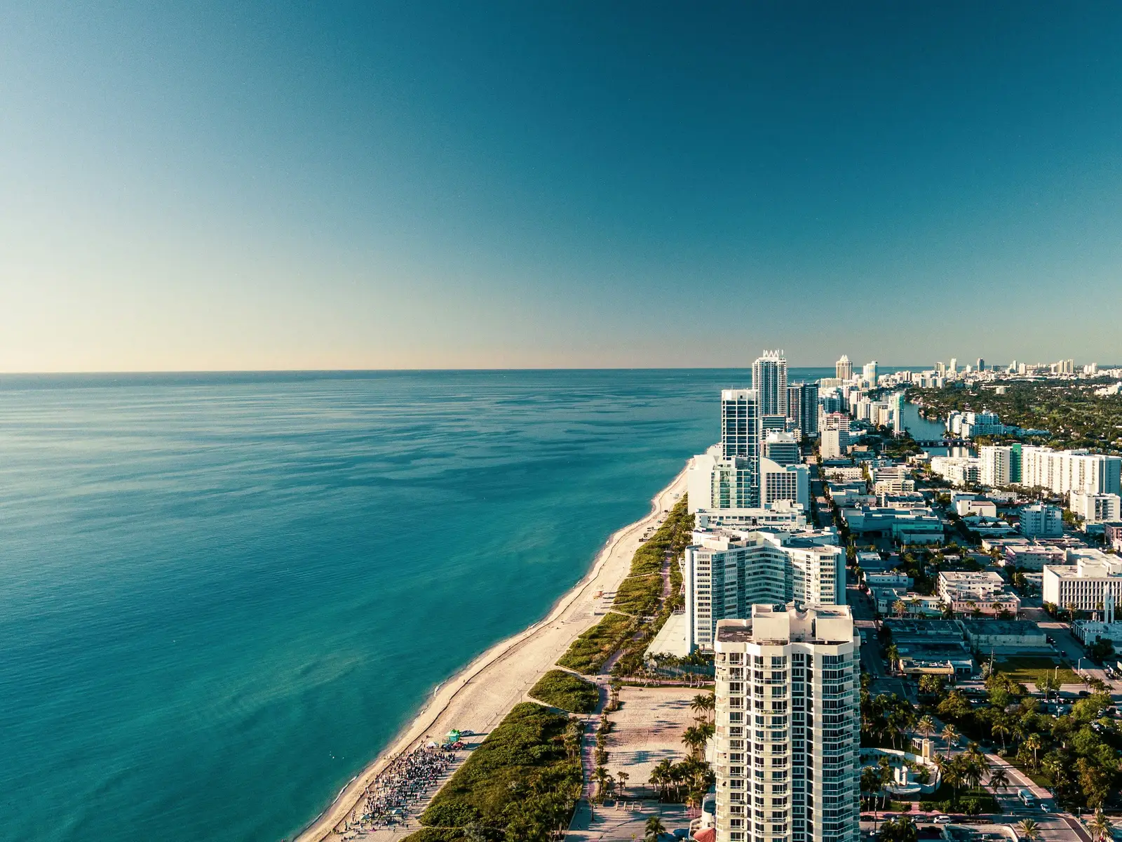
For decades, buying a home near the water meant paying a premium for the view. Now it increasingly means paying a premium just to keep the house insured at all. Climate scientists, actuaries, and risk modelers have started drawing a harder line around certain stretches of the American coast, places where rising seas, sinking land, and worsening storms are converging faster than insurers can price for it.
The conversation has shifted from theoretical risk to practical math. Several towns already show early warning signs, canceled policies, insurers pulling out entirely, premiums that have doubled or tripled in a few years. Looking ahead to 2040, researchers point to a specific set of communities where the numbers suggest coverage could become either unaffordable or simply unavailable.
The Florida Keys and Monroe County
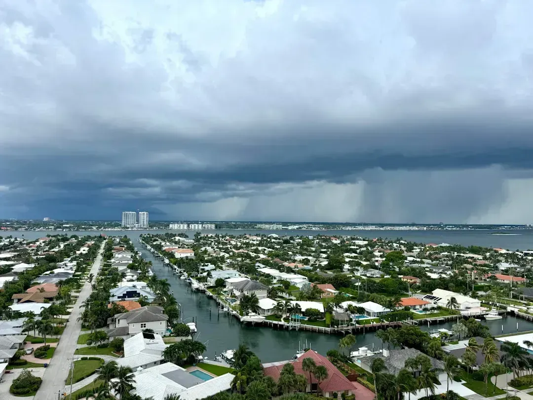
Florida already carries the heaviest insurance burden in the country, with average home premiums reaching roughly eight thousand dollars a year, nearly three times the national average. The state currently has the highest home insurance premiums in the nation, an average of $8,292, compared to an average premium cost across the country of $2,948. Monroe County, which includes the Florida Keys, sits at the sharp end of that trend because of its low elevation and near total exposure to hurricane storm surge.
Wealthier coastal counties have not been spared the pain, even compared to inland areas that face their own struggles. Premiums have risen somewhat less steeply in the counties around Lake Okeechobee than in wealthier coastal counties like Monroe, which includes the Florida Keys. With islands that rarely rise more than a few feet above sea level, the long-term outlook for private coverage in the Keys remains genuinely uncertain.
Sanibel Island and Southwest Florida
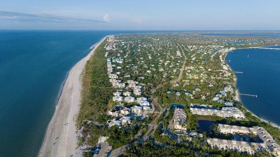
Sanibel Island offers a preview of what a single storm can do to an insurance market almost overnight. Before Hurricane Ian struck in 2022, the barrier island was considered a stable, desirable market for coverage. In a matter of hours, Sanibel went from being an insurer’s dream to a financial nightmare, as the National Flood Insurance Program was hit with 620 million dollars in claims, a nearly hundredfold increase from what it had paid Sanibel homeowners over the previous four decades.
That kind of sudden reversal is exactly what worries risk modelers about barrier islands generally. Ten of the 20 largest wildfires in California have occurred in the last five years, while hurricane damages and flood losses have soared to all time highs, a pattern that mirrors what happened on Sanibel. A single severe hurricane season can undo forty years of stable underwriting in an afternoon, and Southwest Florida’s barrier islands remain exposed to exactly that scenario.
Miami and the South Florida Coastline
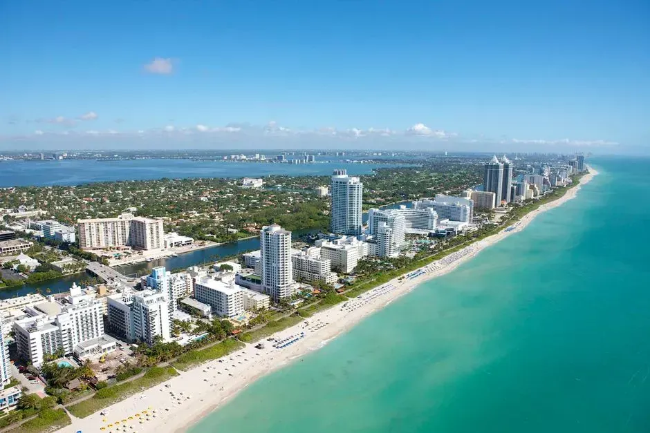
Miami sits near the top of most global lists of cities vulnerable to sea level rise, largely because of its low elevation and porous limestone bedrock. Cities on the east coast of the United States, including New York City and Miami, are particularly vulnerable to sea level rise, along with major cities in South East Asia such as Bangkok and Shanghai. Tidal flooding that used to be rare now shows up during routine high tides in some low lying neighborhoods.
What makes South Florida’s situation unusual is the disconnect between physical risk and market price. Florida home values have soared since the pandemic, with the average home in the southern part of the state 35 percent overvalued. Economists studying coastal property markets argue that prices have not yet fully absorbed the risk, which suggests a sharper correction, and a harder insurance squeeze, could still be ahead.
Grand Isle, Louisiana
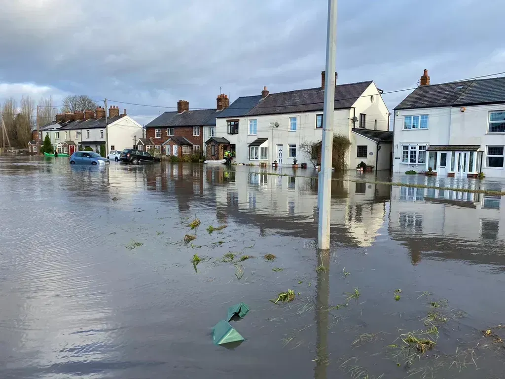
Grand Isle is often cited as the fastest sinking, fastest flooding town on the entire Gulf Coast. According to data compiled by the Virginia Institute of Marine Science, Grand Isle topped a 2024 report card tracking sea level changes at 36 U.S. coastal locations, with sea levels rising by 8.2 millimeters per year, part of a staggering seven inch increase since 2010. That combination of rising water and subsiding land is about as bad as it gets for a small barrier island community.
The insurance numbers already reflect that reality. In Grand Isle, the average home insurance premium is a jaw dropping 11,000 dollars per year, due in part to worsening flood risk. Louisiana’s broader insurance market has been under strain for years, and Grand Isle represents perhaps the most extreme local example of where that strain is heading by 2040.
Galveston, Texas
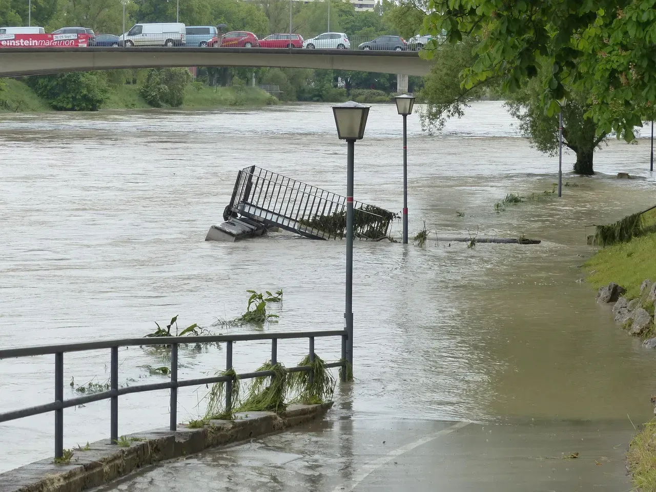
Galveston’s problem is less about any single storm and more about a slow, steady creep of water that shows up even on calm days. The number of high tide floods, which can happen even on sunny days, has surged, with the island experiencing more than 150 over the past decade, a type of flooding forecast to become rapidly worse as seas continue to rise, with projections suggesting the island could see over 250 days with minor flooding each year by the 2050s. That kind of chronic, everyday flooding is difficult for standard insurance models to price accurately.
Local geology compounds the problem, since Galveston is both facing rising seas and losing elevation at the same time. Since 2010, Galveston has experienced a burst of sea level rise that has added a staggering eight inches to the ocean’s height there, one of the most rapid changes across the Gulf of Mexico, a rise being exacerbated by fast sinking land that is taking the island and everything on it ever lower. Texas homeowners statewide are already seeing steep rate increases, and Galveston’s unique exposure puts it near the front of that line.
The Outer Banks, North Carolina
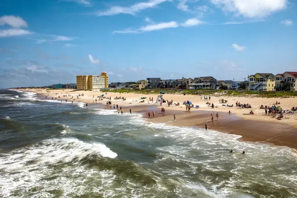
Few places illustrate coastal erosion as vividly as North Carolina’s Outer Banks, where homes have literally fallen into the sea. A 650,000 dollar beachfront home in North Carolina’s Outer Banks collapsed, the sixth such incident in the region in the past four years. These are not slow, theoretical losses. They are structures that simply give way to the ocean.
Regulators have already responded with steep proposed rate hikes for the region. A bureau proposed a 99.4 percent increase for beachfront properties in New Hanover, Brunswick, and Pender counties in the Wilmington area, as well as Carteret County, with beach areas along the Outer Banks facing a proposed 45 percent increase. Even with those adjustments, actuaries question whether pricing can keep pace with an eroding shoreline that continues to move closer to the houses built along it.
Charleston, South Carolina
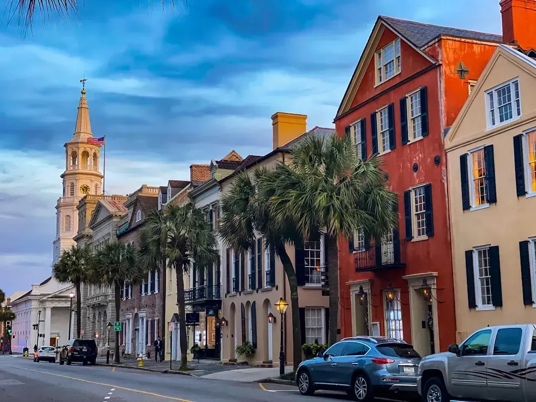
Charleston has spent the last several years setting unwelcome records for high water, even without a hurricane in sight. In December, Charleston saw its fourth highest water level since measurements began in 1899, the first time on record that seas had been that high without a hurricane, as a winter storm that coincided with the elevated ocean left dozens of streets closed, one resident drowned in her car, and hundreds of vehicles were damaged or destroyed. That single event underscored how routine weather, not just major hurricanes, can now produce catastrophic flooding in the historic downtown.
The underlying trend behind that flood is accelerating faster than the city’s older infrastructure was built to handle. The average sea level at Charleston has risen by seven inches since 2010, four times the rate of the previous 30 years. Insurers watching that acceleration have started treating the Charleston peninsula less like a stable historic district and more like a rapidly changing flood zone.
Norfolk and Hampton Roads, Virginia
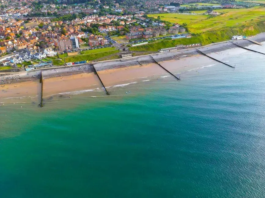
Norfolk holds an unwanted distinction on the East Coast, and it is not a title anyone in the region wanted to earn. Norfolk has the highest sea level rise rate on the U.S. East Coast, while the fastest rates of sea level rise nationally are occurring along the Gulf coast in Louisiana and Texas. The city hosts the largest naval base on the East Coast, which adds strategic weight to what would otherwise be a local planning problem.
Long-term projections for the region point toward substantial additional flooding in the coming decades. The rise rate in Norfolk is 5.6 millimeters per year, with a long term projection suggesting about a foot and a half of increase by 2050. For a low lying naval and port city built largely on reclaimed marshland, that kind of increase touches nearly every neighborhood, not just the waterfront.
Pacifica, California
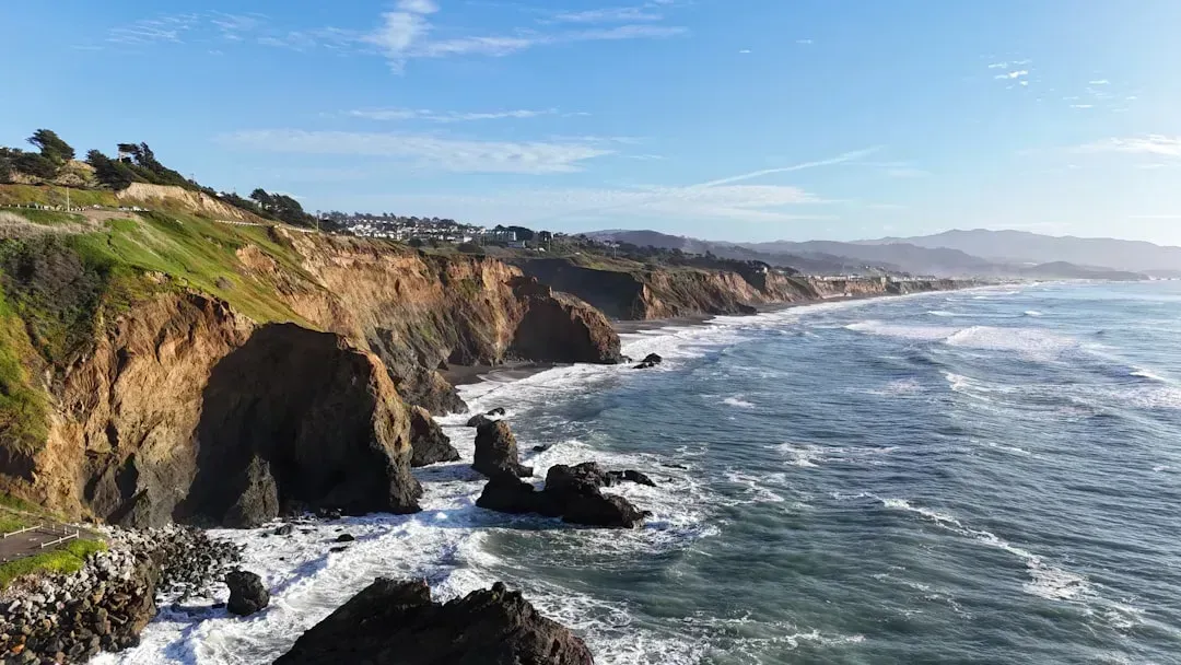
Pacifica shows that the uninsurable coastline problem is not confined to hurricane country. Sitting on eroding cliffs above the Pacific, the city has already watched entire blocks of housing become unsalvageable. Houses along a collapsing cliff in Pacifica, California, began slipping off the edge into the Pacific Ocean due to heavy mudslides and rain, and entire apartment complexes have since realized they too picked a losing fight with the ocean.
Scientists studying the California coast say the erosion driving these collapses is not a one-time event but an ongoing, worsening pattern. Erosion has always been a part of life on the West Coast, but scientists say climate change is accelerating it, threatening nearly all of California’s 1,000 miles of coastline and billions of dollars worth of real estate. For cliffside communities like Pacifica, the risk is less about flooding and more about the ground itself giving way, a hazard that standard insurance policies were never really designed to cover.

- 7 Weather Patterns That Can Signal a Tough Winter Ahead - August 26, 2026
- 9 American Cities Where the Weather Changes Dramatically Within Hours - August 25, 2026
- The 7 States With the Most Comfortable Summers in America - August 25, 2026
